PICTURES AND TRIP REPORTS FROM MY WALKS IN THE ENGLISH LAKE DISTRICT
|
|
|
|
|
|
Despite the non too favourable forecast I loaded up the tent and headed for the interesting looking ground to the north of Kentmere.
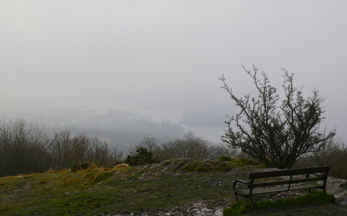
Plan A which had me alighting the train at Staveley had to be changed when my first train of the day was late which threw my schedule off resulting in me having to get the direct train which doesn't stop at Staveley so a quick look at the map confirmed that I could get to the same place from Windermere, that's why I'm on the viewpoint of Orrest head above the town and as you can see there is not much of a view today.
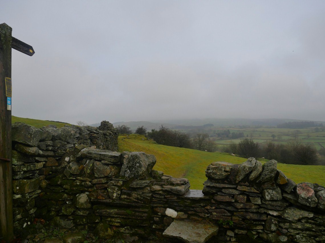
And it's not much brighter looking ahead to my outward path.
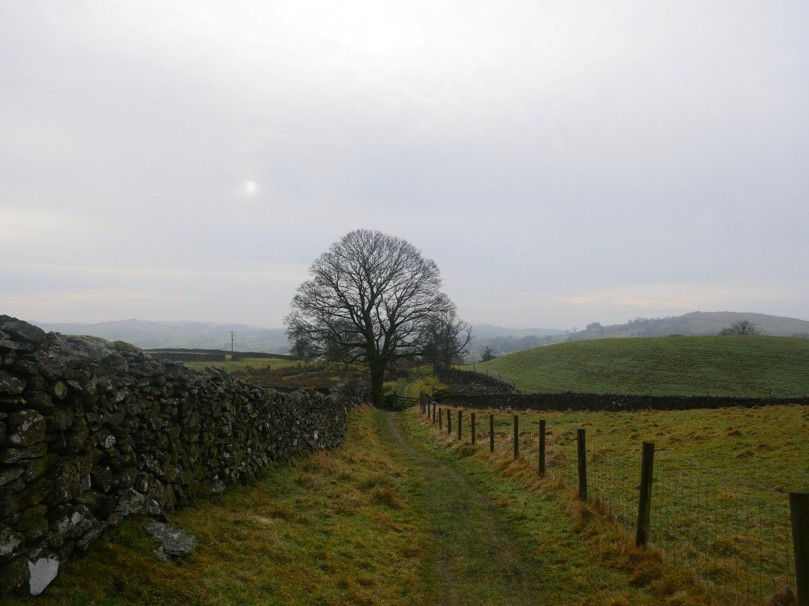
But by the time I'm past High Borrans the cloud is lifting and the sun is starting to appear.
The Green Quarter fells above Kentmere can just be seen in the distance. The distinctive little hill in the centre of the picture is White side End, my path follows the wall leading up to it.
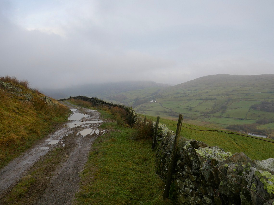
Kentmere comes in to view as you round White side End.
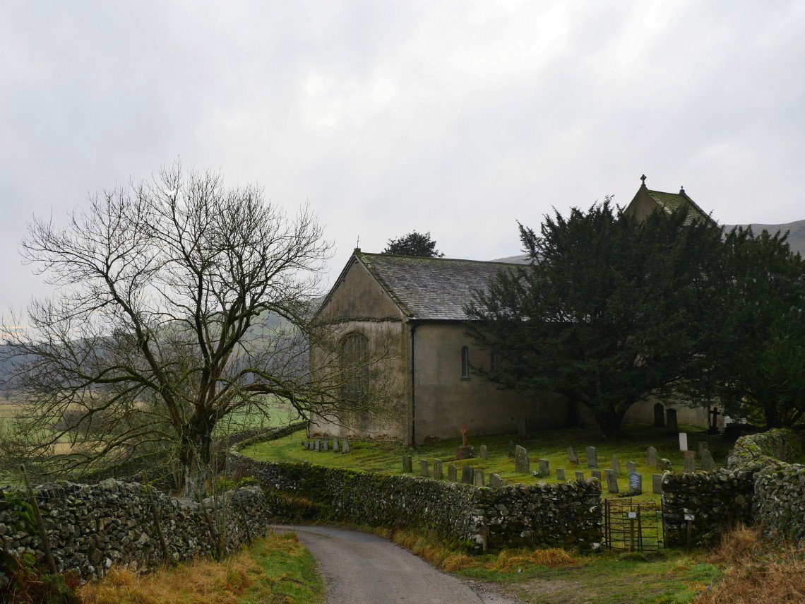
Passing by Kentmere church. There are a few different paths heading northwards from Kentmere but they all come together at the same place.
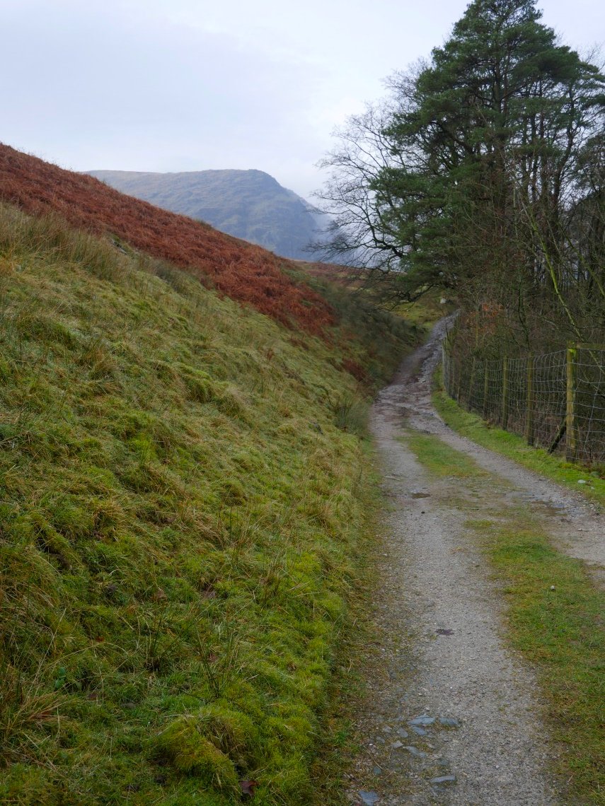
Which is the track past Scales and Hartrigg heading for the reservoir. Rainsborrow Crag is the hill ahead.
Rainsborrow is mostly clear but Ill Bell and Froswick are hanging on to the cloud.
.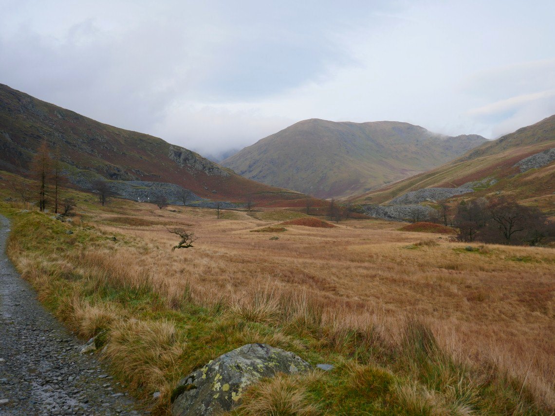
It's only three miles from Kentmere to the reservoir but it feels a long three miles as the path winds it's way along the valley. The weather has picked up though with a bit of blue sky above Lingmell End.
The cloud is still swirling around Rainsborrow Crag There does look to be a thin path through the bracken climbing up to Rainsborrow Cove which looks like it might have to go on the list of interesting places to visit.
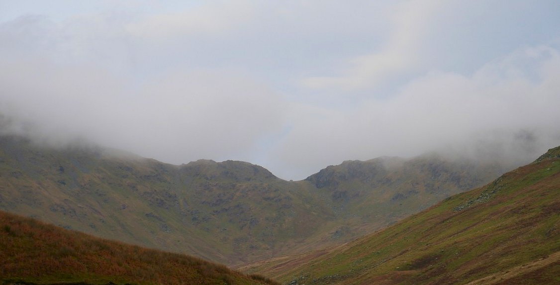
Zooming in to Nan Beild Pass, the little bump is the wind shelter.
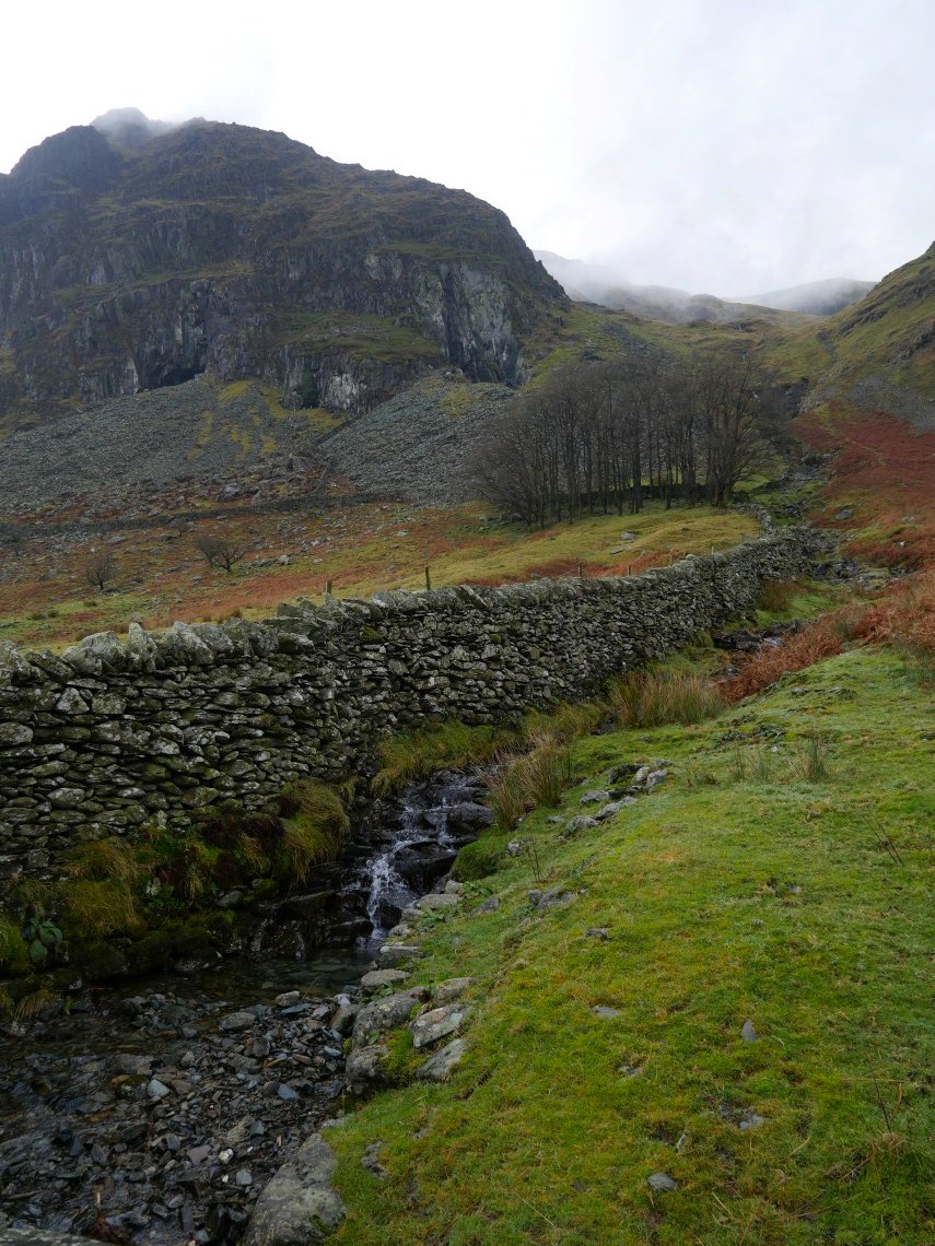
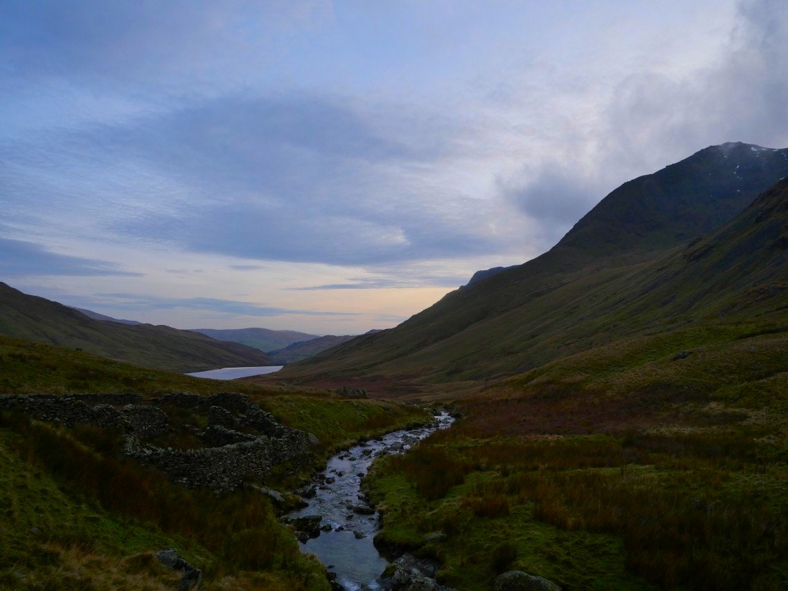
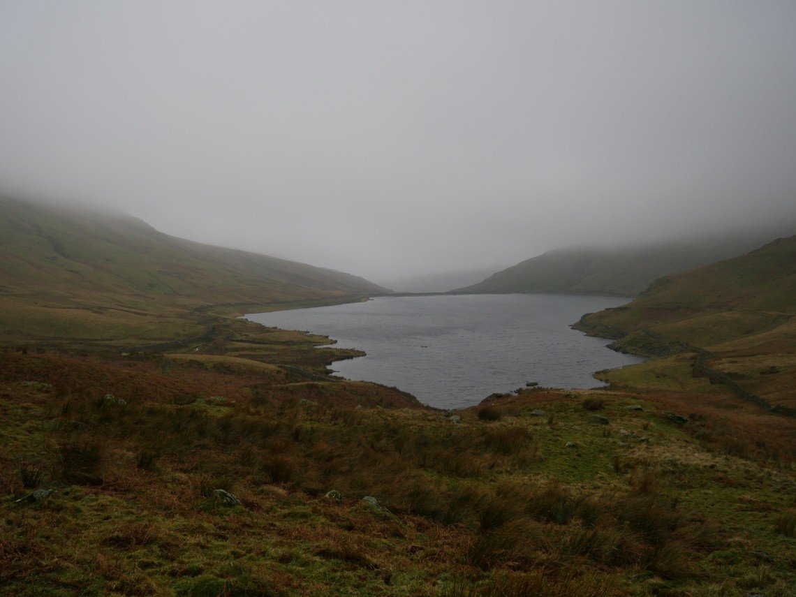
There is a lovely elevated path around the reservoir on the left hand side (when approaching from the south) I have walked along it and am now leaving the reservoir for the pathless ground following the river Kent.
There are no paths but there is a quad bike track for part of the way. My plan for tomorrow ( weather permitting) was to follow the Kent around the corner into Hall Cove and, if it was possible climb out onto the high ground above.
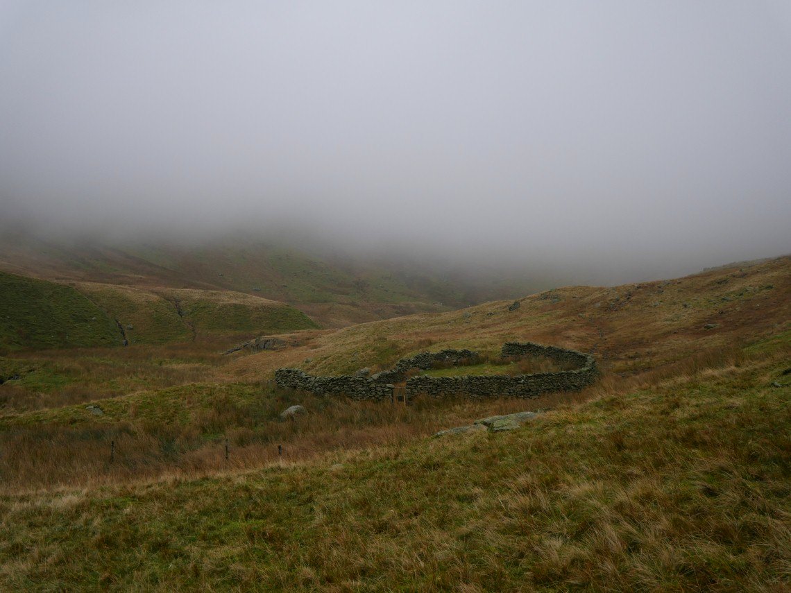
But for today I'm walking as far as the sheepfold marked on the map. The clearing skies were accompanied by falling temperatures so I wasted no time in getting the tent up and soon.had a brew on the go.
The distinctive profile of Ill Bell
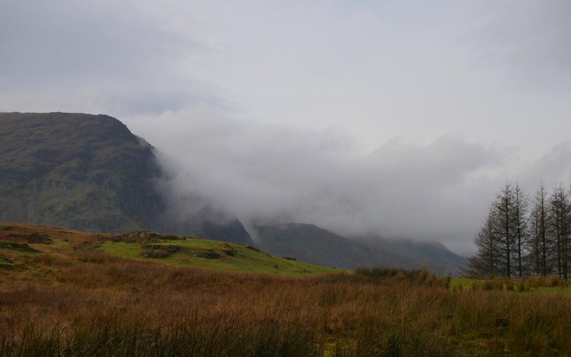
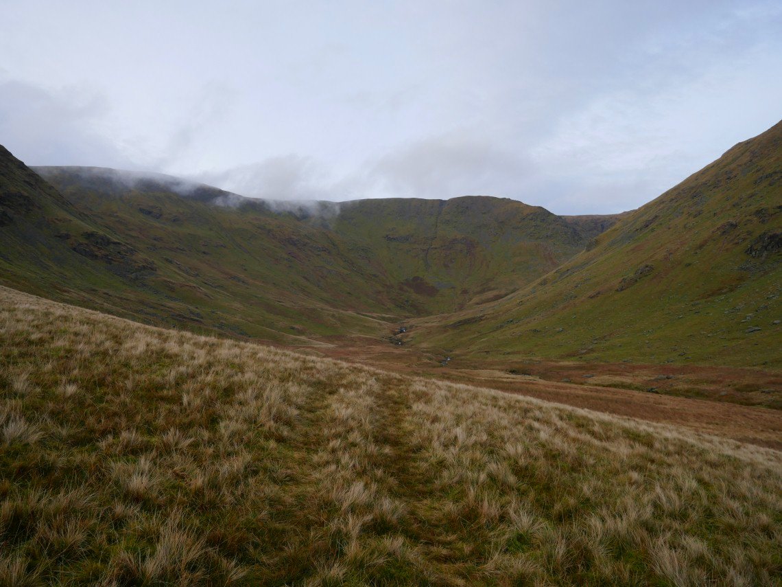
Unfortunately the weather was not permitting and Hall Cove was completely enveloped in low cloud so I decided to leave my visit for a better day.
The cloud was down to a very low level so I retraced my steps back to Kentmere.
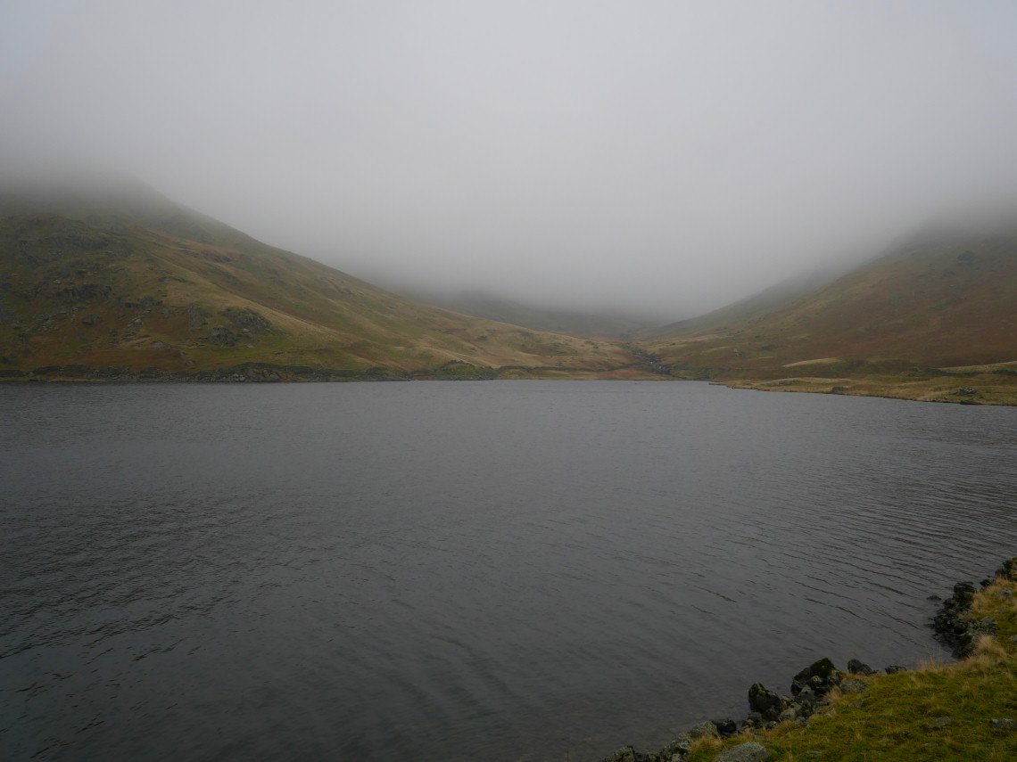
Looking back towards Hall Cove. I walked to Staveley to catch the train just to vary my route and it's a couple of miles shorter.