WWW.KARLSWALKS.CO.UK
PICTURES AND TRIP REPORTS FROM MY WALKS IN THE ENGLISH LAKE DISTRICT
|
|
|
|
|
|
|
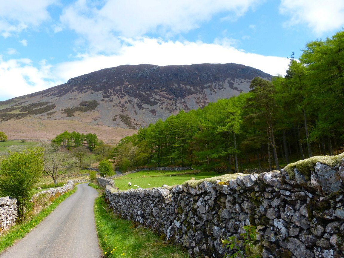
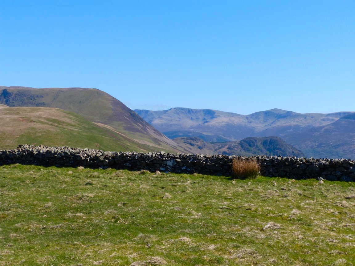
I had twelve unclimbed Birkett tops in the Knock Murton area as well as Bowness Knott above Ennerdale so once I saw that the weather over the holiday weekend was set fair I cobbled together a route to climb them over two days.
Herdus seen from the short road walk from the car park to the stile which gives access to the steep path to Brown How and Bowness Knott..
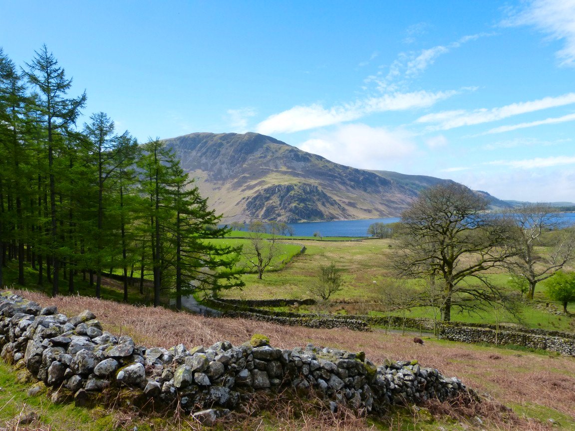
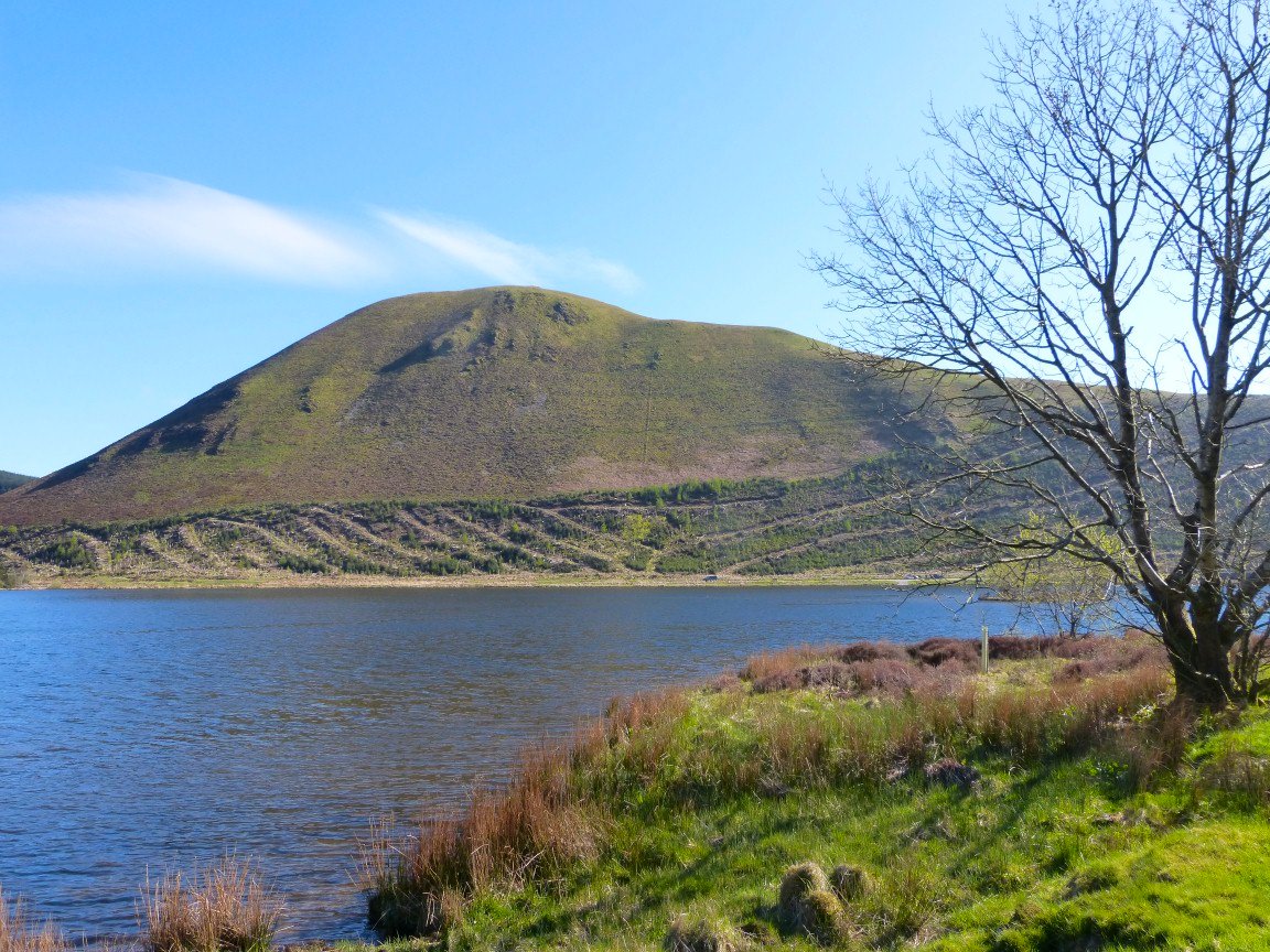
Anglers Crag with Crag Fell above across Ennerdale Water.
It's a steep but short pull to Bowness Knott The cloud that had covered the central Lakes as I drove north seems to have reached Pillar.
Anglers Crag again from Bowness Knott..
My next unclimbed top was Banna Fell which is on the other side of the Herdus / Great Borne massif. I did consider walking back to the road then taking the path from Whins to the Floutern pass but as I have never been up the Rake Beck path and I wanted to see the fox trap I went that way instead..
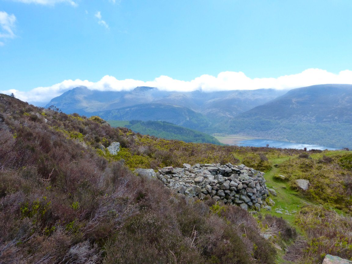
And here is the fox trap.
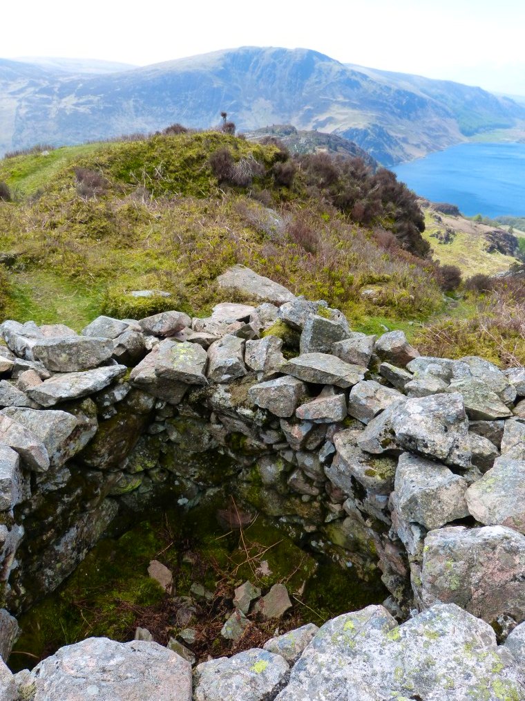
A look inside. The trap was baited with a goose or chicken and the walls are shaped so that a fox would be unable to escape.
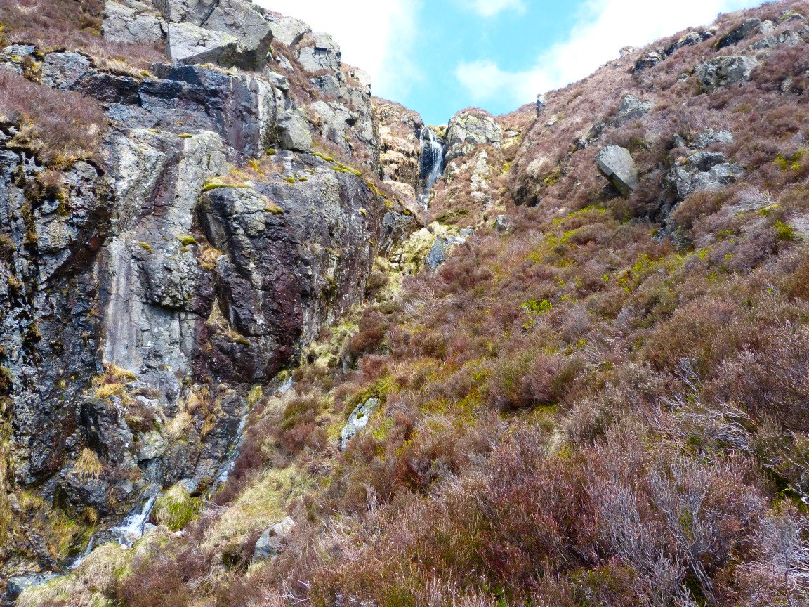
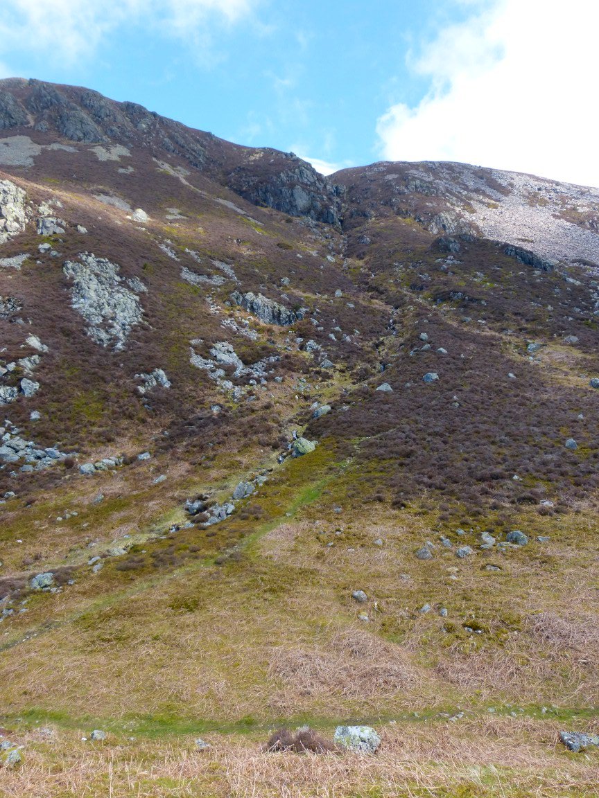
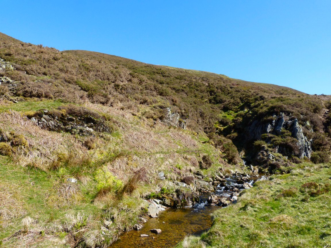
I thought this was a great path, quite clear but with a couple of places where hands were needed and sometime coming very close to the edge of the drop into the beck.
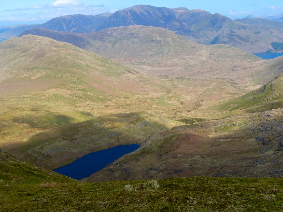
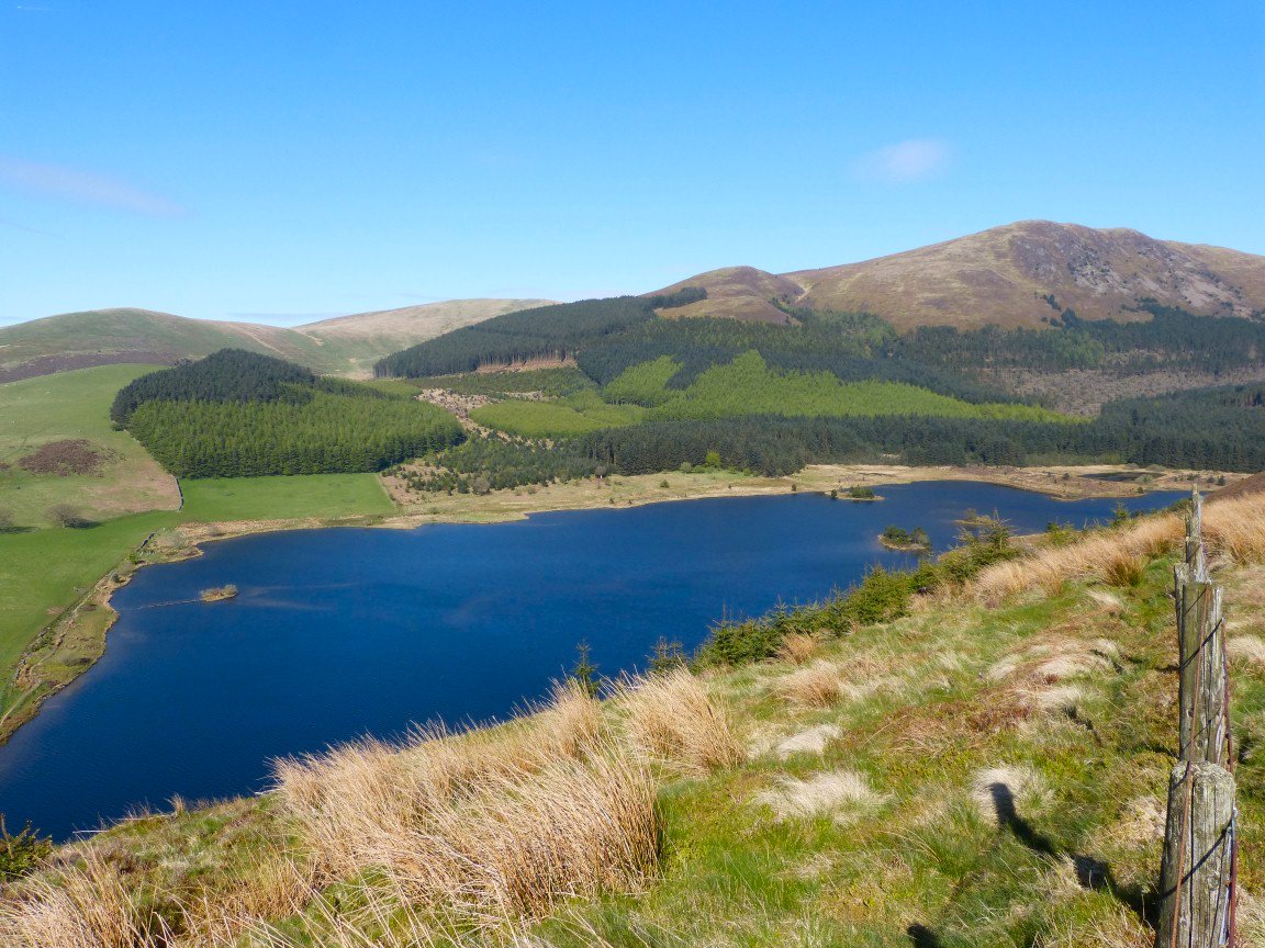
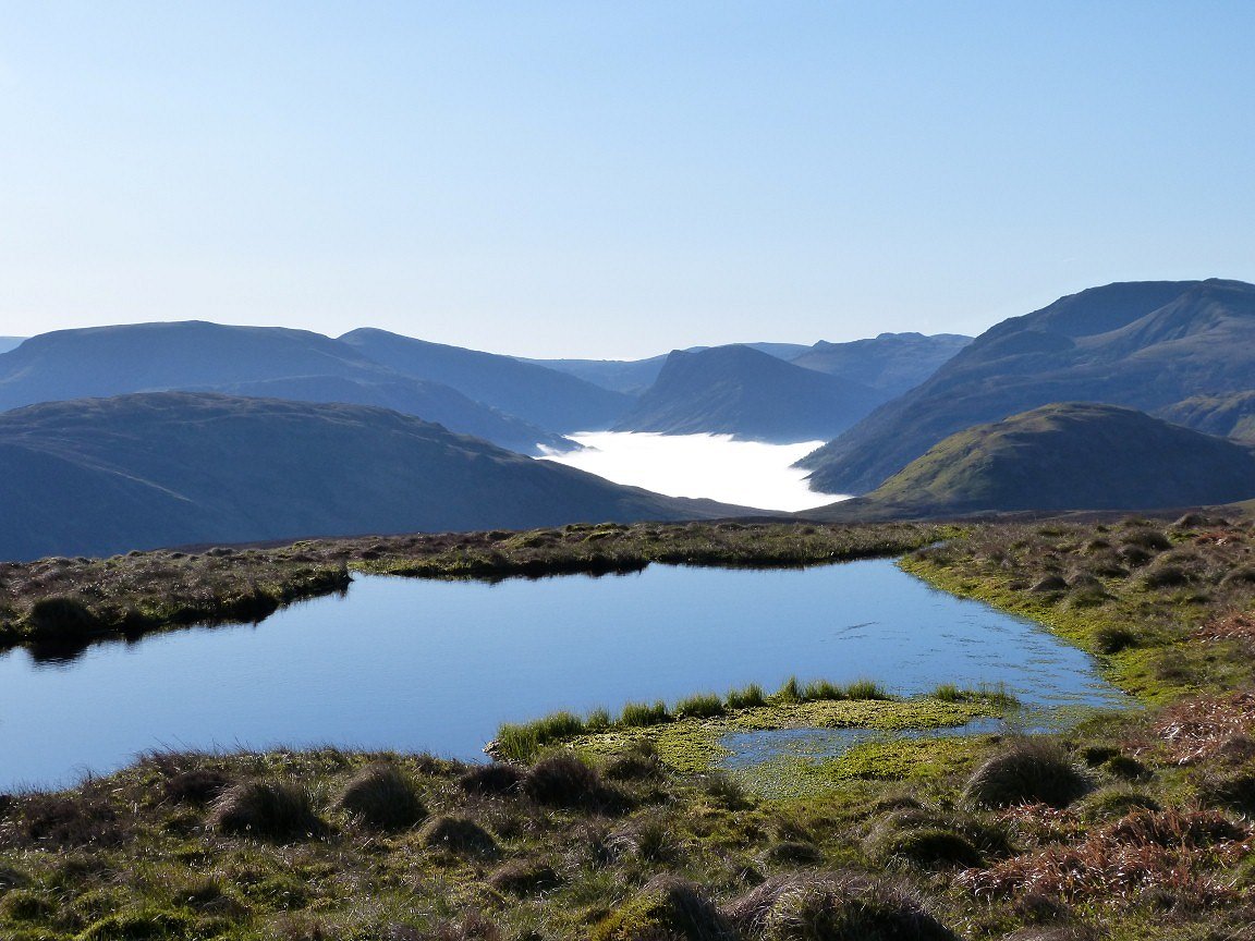
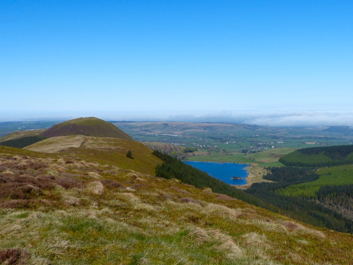
After reaching the top it's a short walk towards the top of Steel Brow.from where Floutern Tarn is seen below with the Grasmoor group beyond Hen Comb and Mellbreak..
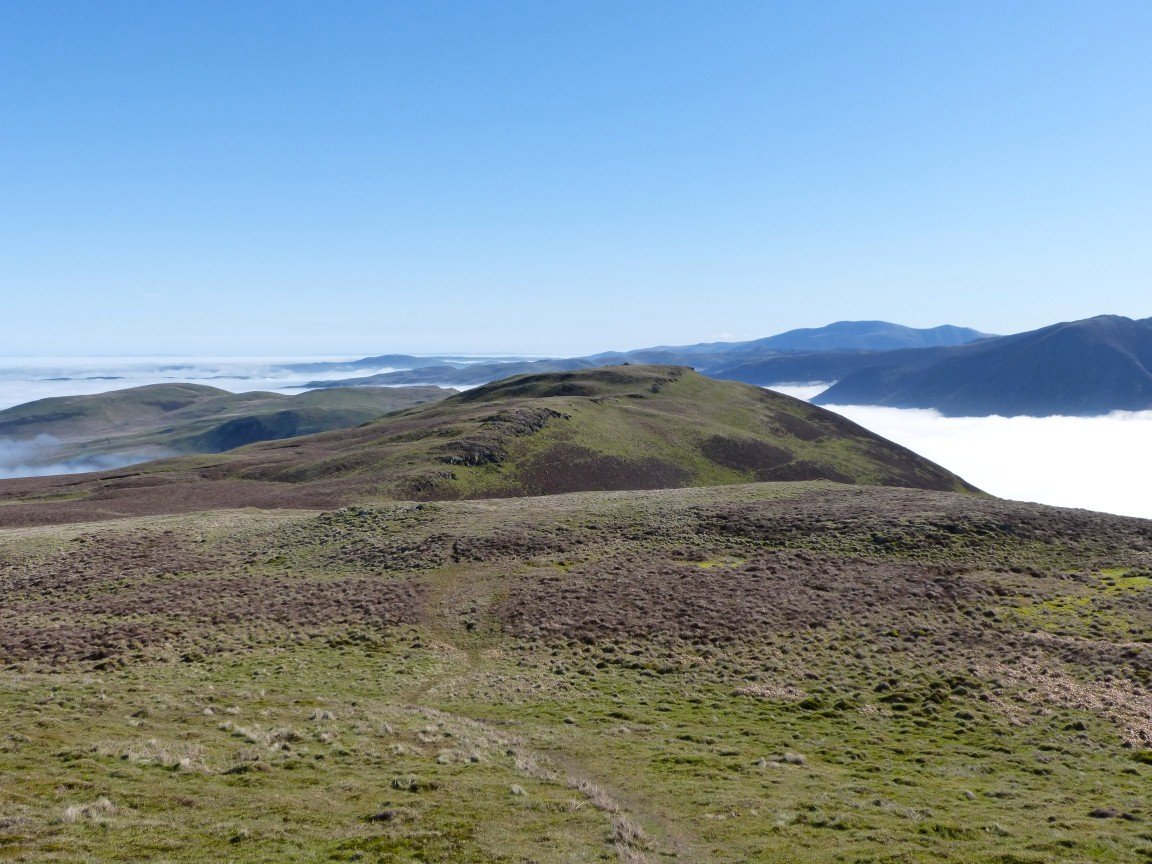
On to Banna Fell looking to some of the fells coming next. I walked in a big loop around the head of the steep ravine of Comb Gill
.
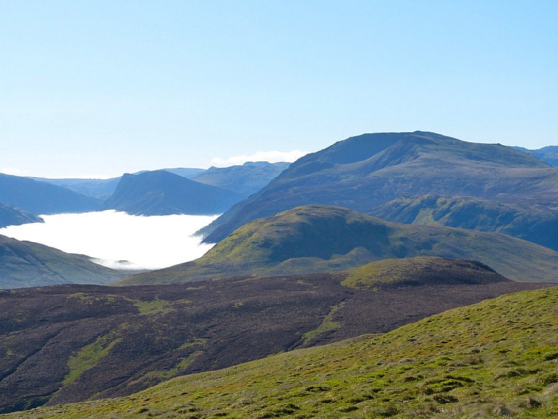
Next stop Godworth and a view back to Ennerdale..
And it's only a short walk to my fourth new top of the day, Kelton Fell.
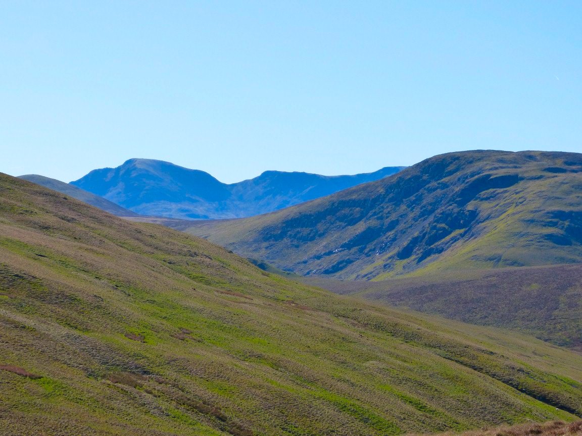
The Pillar /Scoat Fell range is clear now..
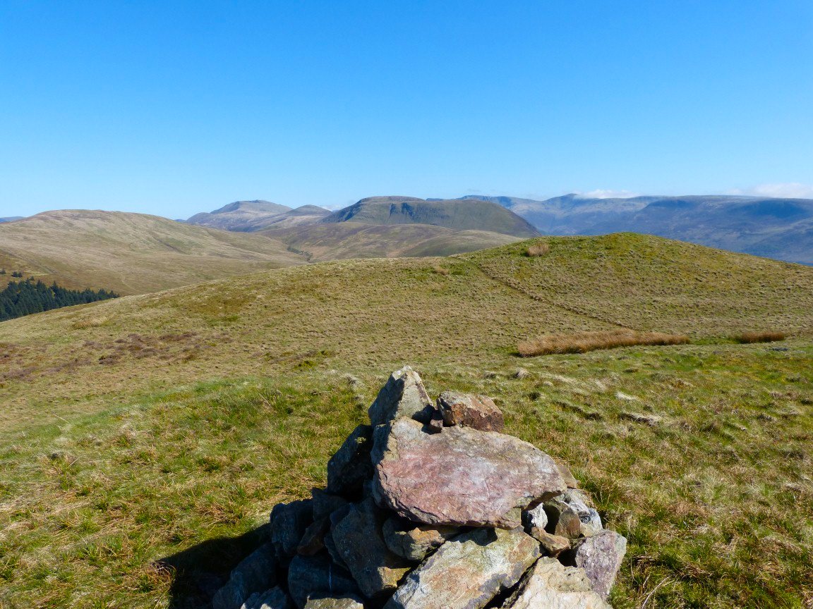
From Kelton fell it's only a few minutes to the base of Knock Murton. I took what is probably the easiest route via the mines and Harris Side on the south west ridge. This is looking to the great ridges of Great Borne and Red Pike with Pillar and Scoat Fell beyond..
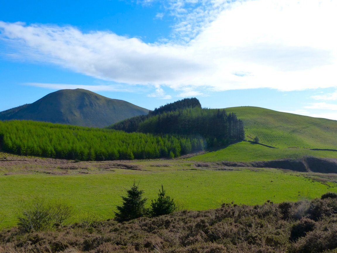
Starting on the steep descent through the felled trees to Cogra Moss. High Hows (Lamplugh) my next top is the grassy hill next to the trees on the left.
Down to Cogra Moss now looking up to Blake Fell flanked on the left by Sharp Knott and on the right by High Pen.
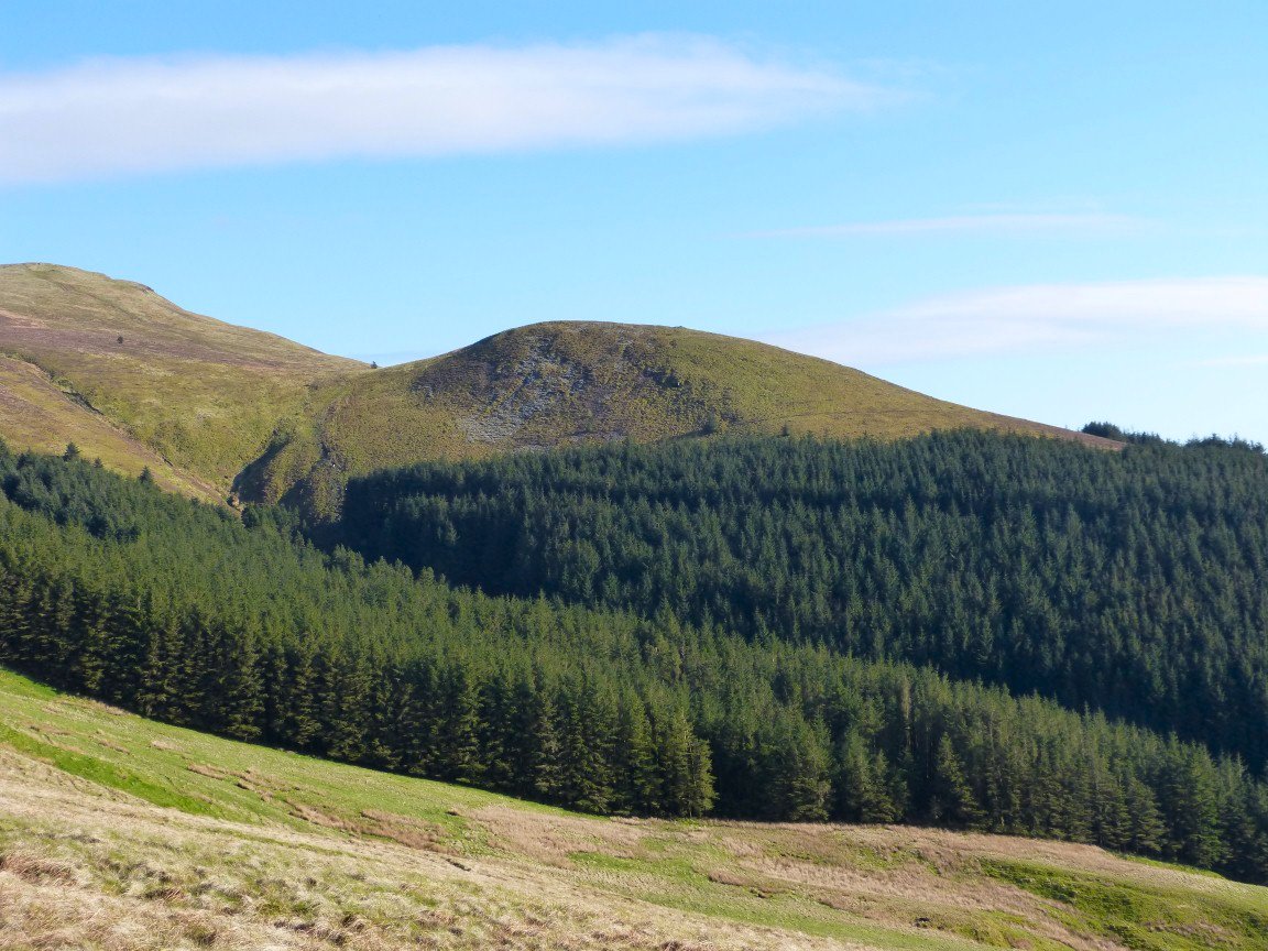
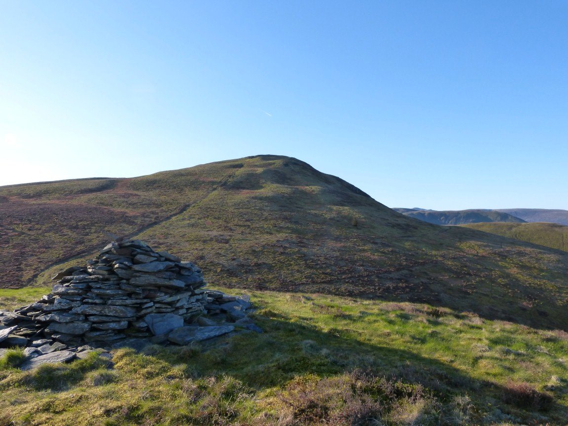
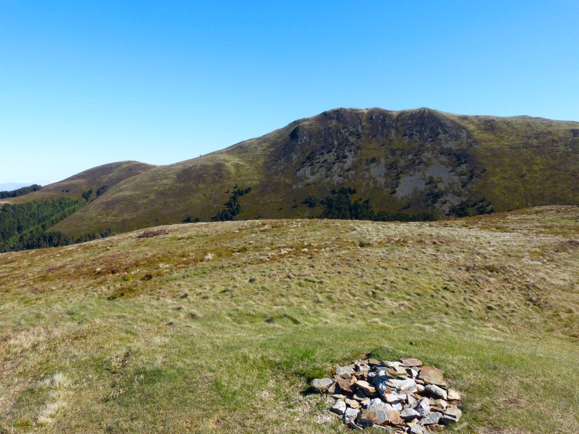
Knock Murton. My route down was through the fire breaks on the right hand side.
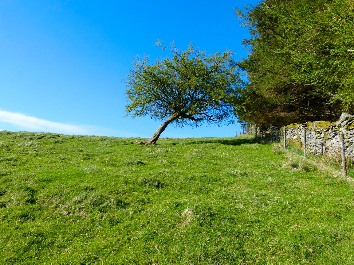
Interesting tree on the climb to High Hows
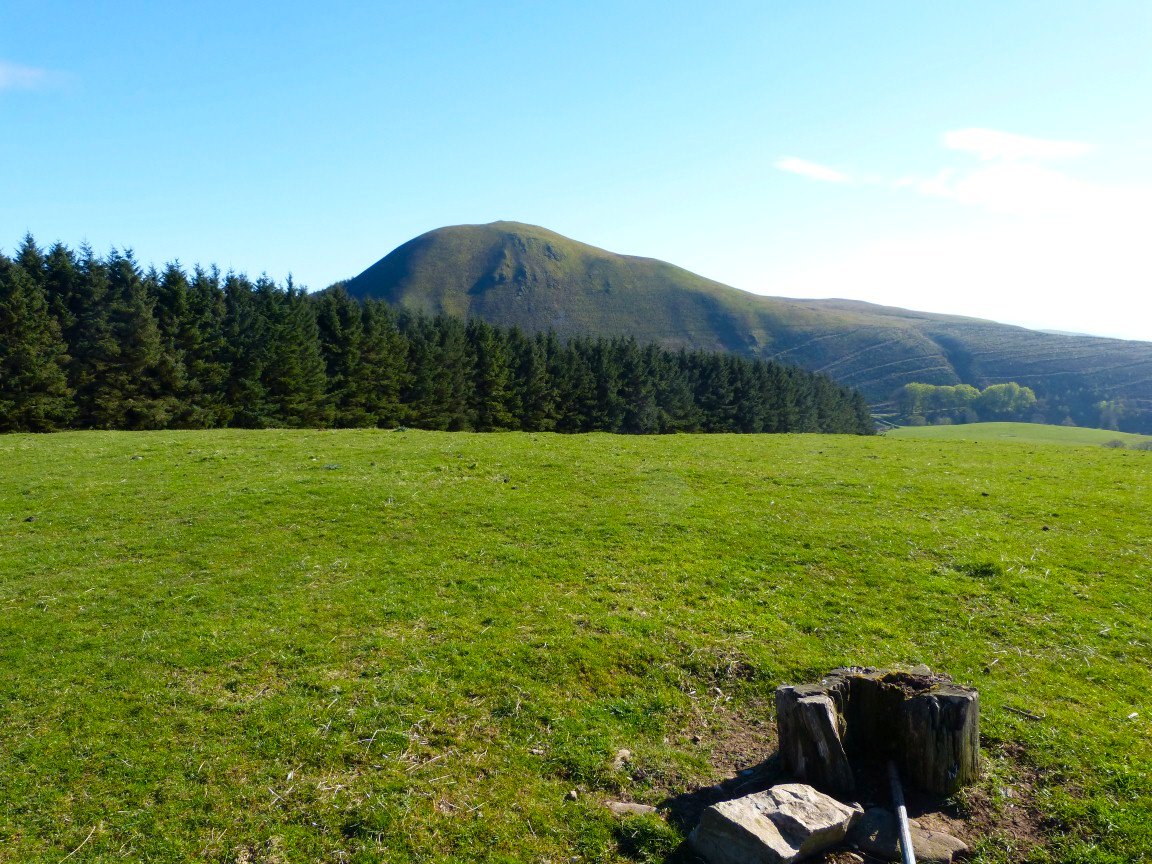
Knock Murton again from the tree stump marking the top of High Hows.
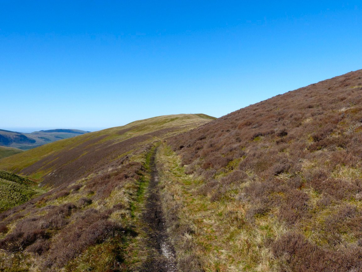
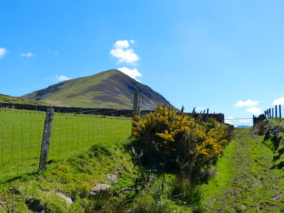
The afternoon had become really warm now and I wasn't looking forward to the steep climb to Owsen Fell. My route followed the fence which is the green line through the heather on the right.
The climb was every bit as hard as I was expecting. This is a picture of High Hows and Knock Murton taken from a rest stop.
On Owsen Fell now. Skiddaw is the dark fell in the distance.
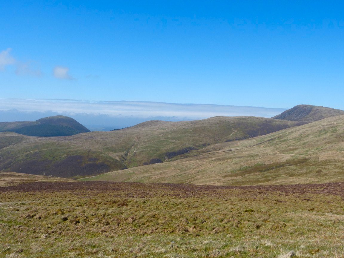
Looking back to Owsen Fell in the fabulous afternoon sunshine. I started my walk around lunchtime so it was getting time to look for a camp spot.
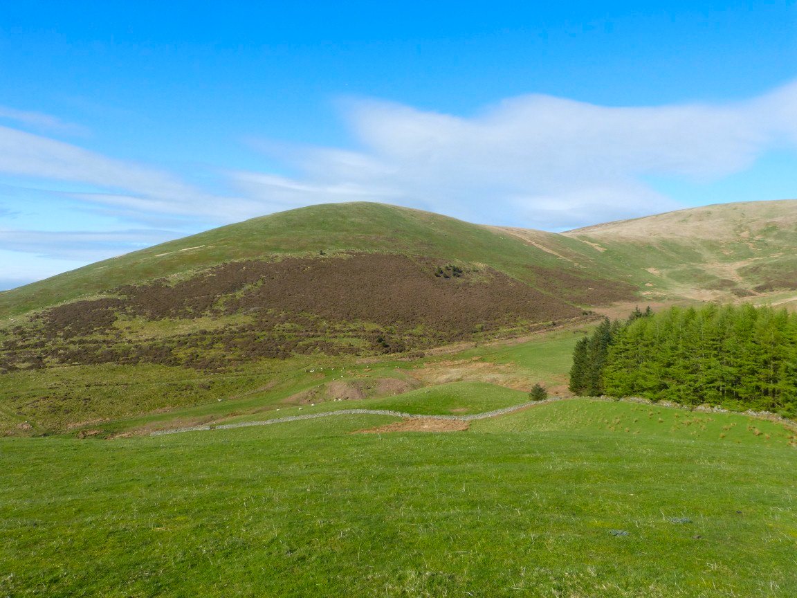
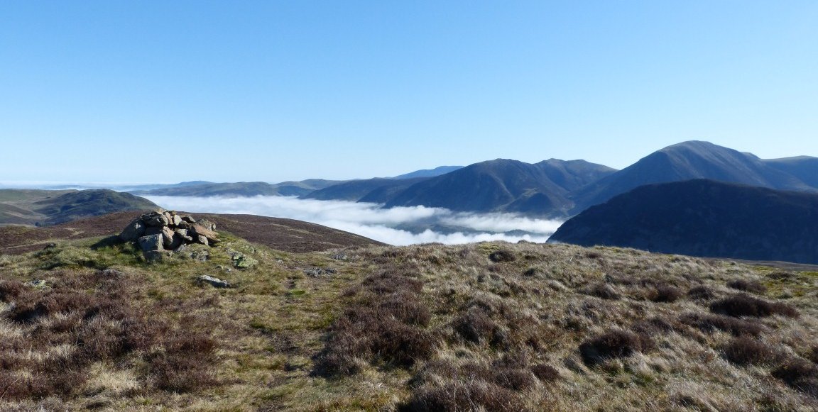
Looking over to Sharp Knott, tomorrows first fell..
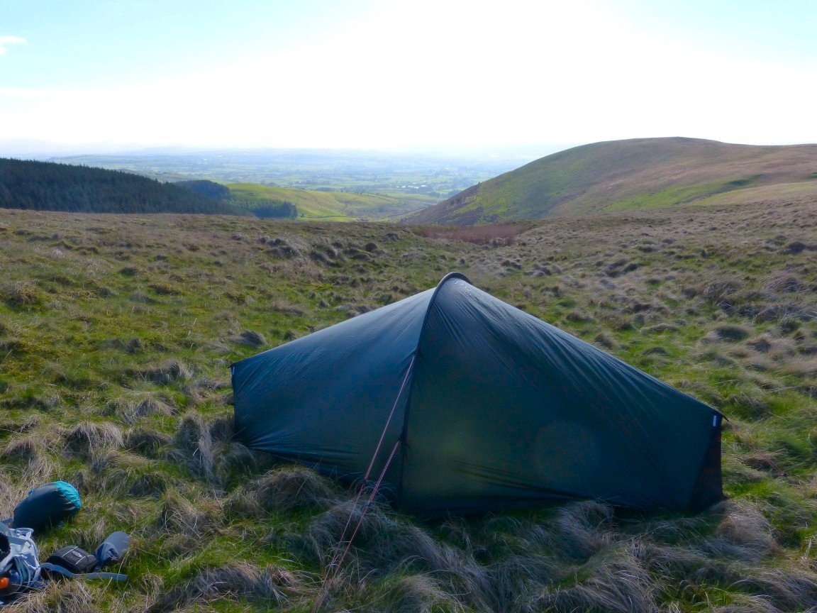
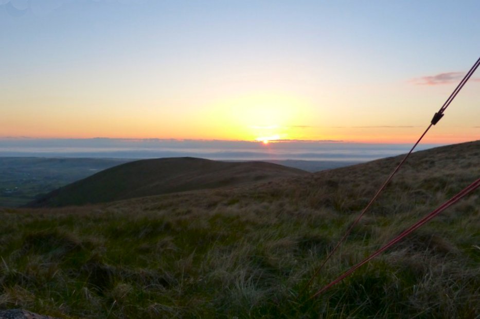
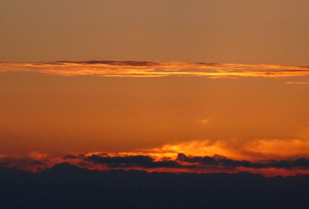
Camped between Owsen Fell and Burnbank Fell, Ideally positioned to catch the sunset.
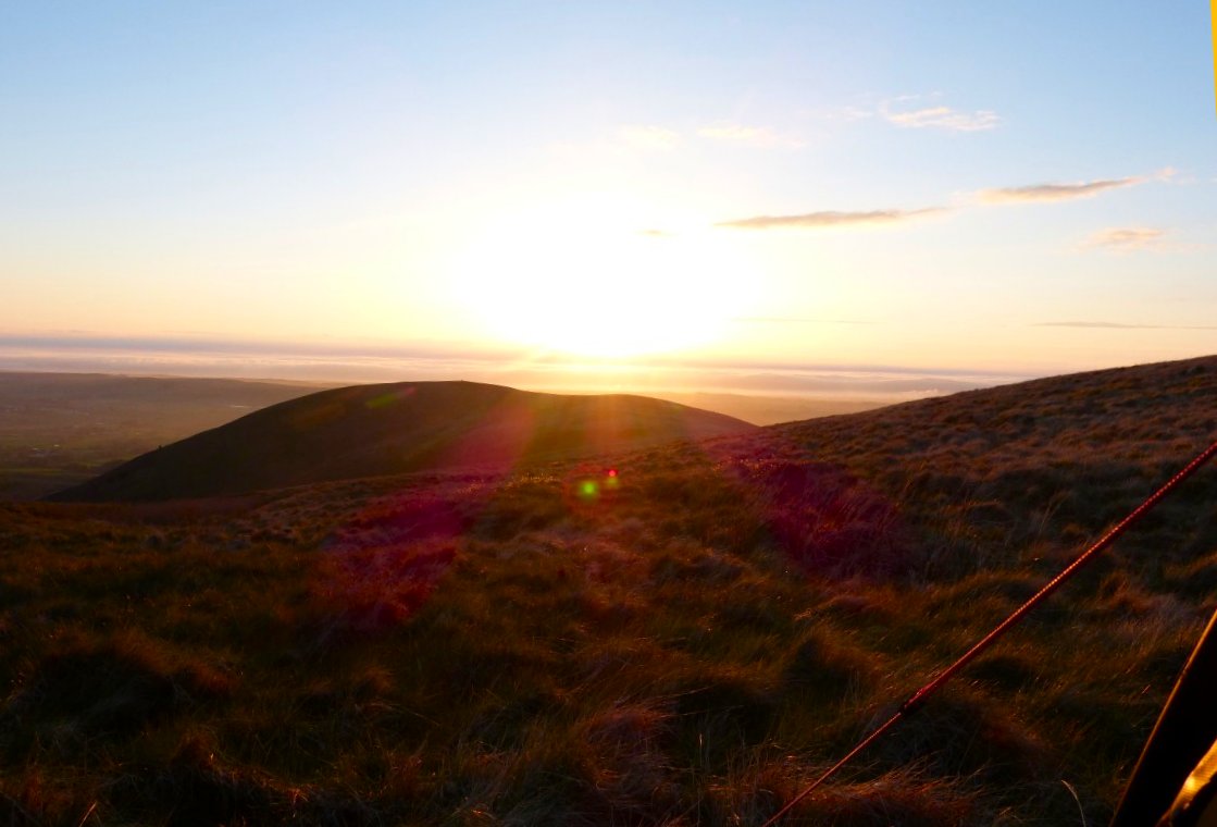
And It wasn't a bad one.
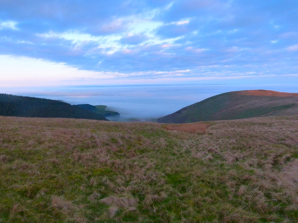
Peeping out of the tent the following morning I was thrilled to see an inversion on the coast and out to sea.
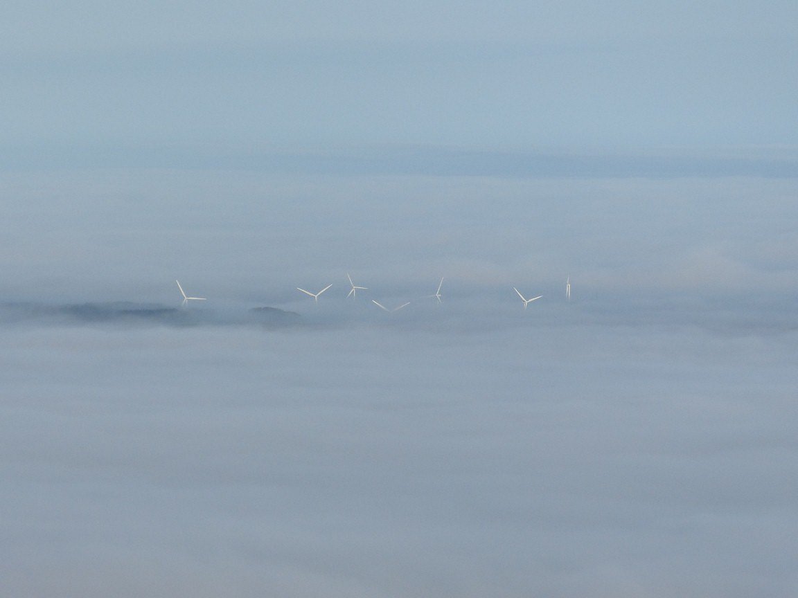
Although this put me more in mind of an invasion of Martians
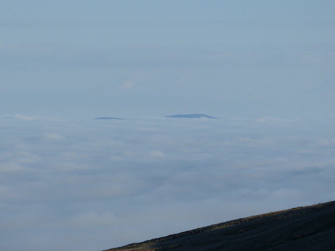
I'm not sure but I think this could be Northern Ireland
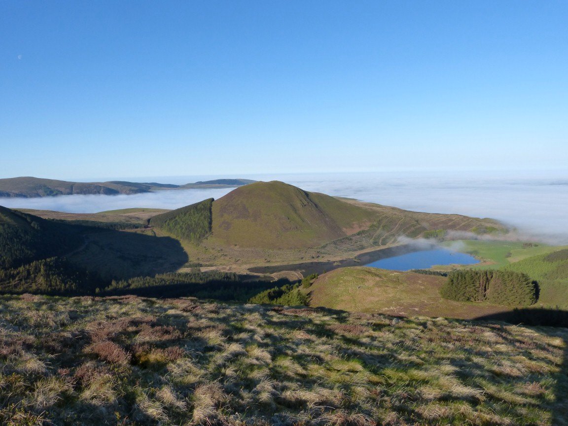
It only took me ten minutes to get to Sharp Knott which had me wishing I had pushed on last night and camped on this wonderful little top. Knock Murton and Cogra Moss below.
Originally I had intended contouring around Blake Fell to the left but I reasoned that there was probably an inversion over the valleys to the east so I wanted to get high and the climb to Blake Fell wasn't hard and only took a few minutes.
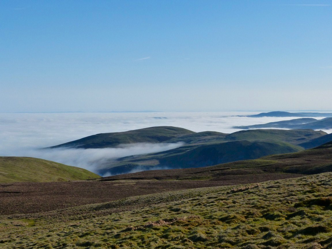
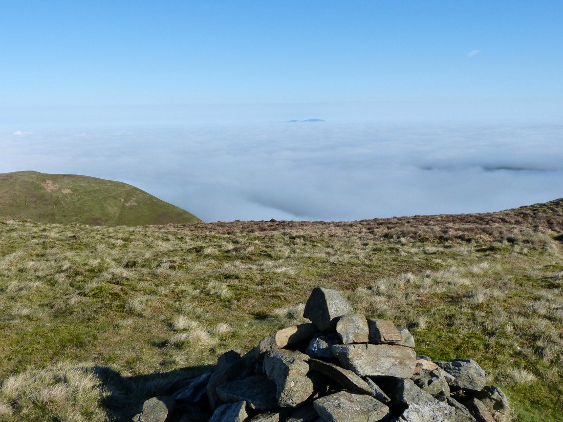
Looking back to the inversion over the coastal plain and the Irish sea.
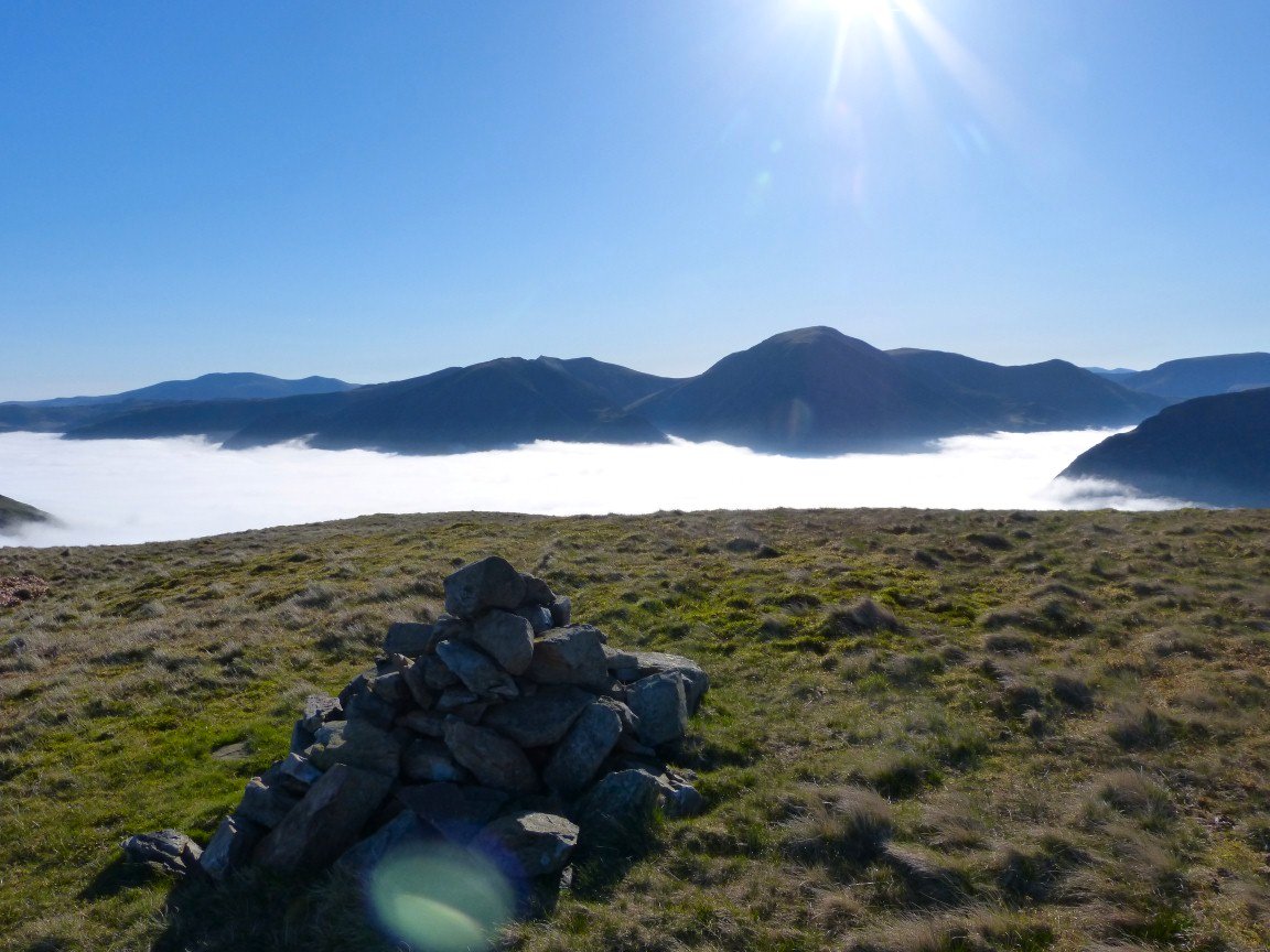
I was right about the inversions.
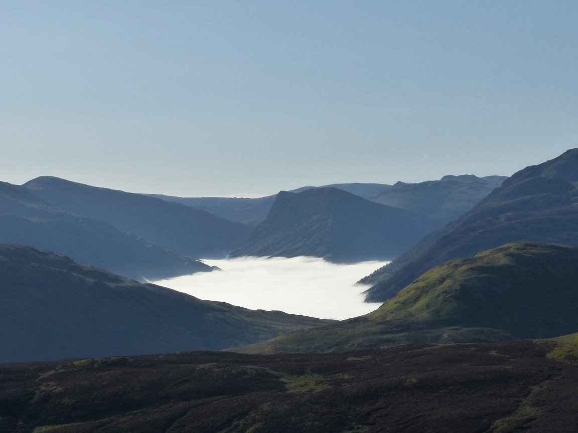
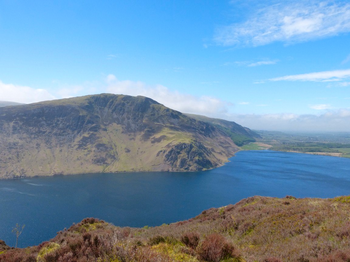
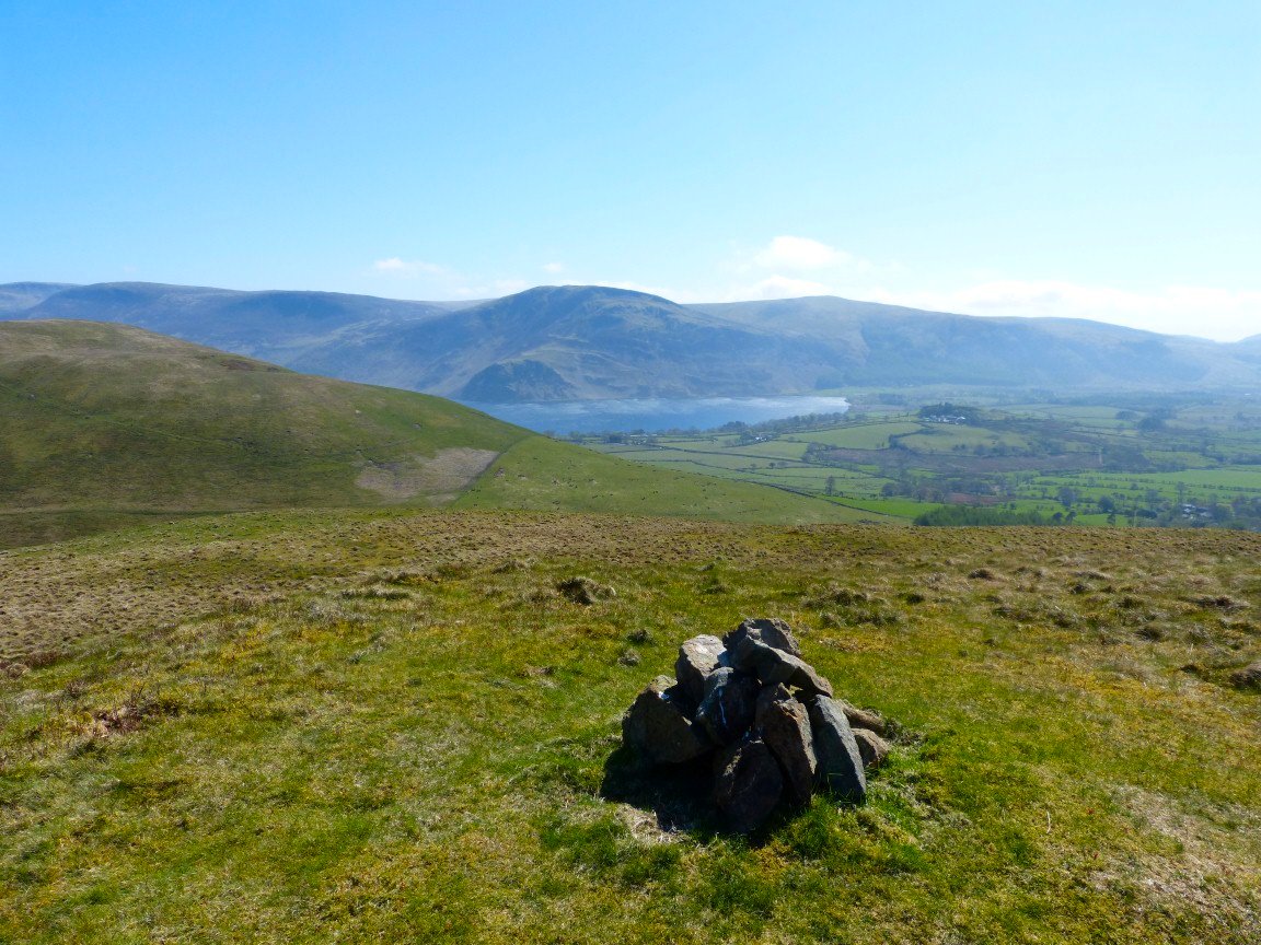
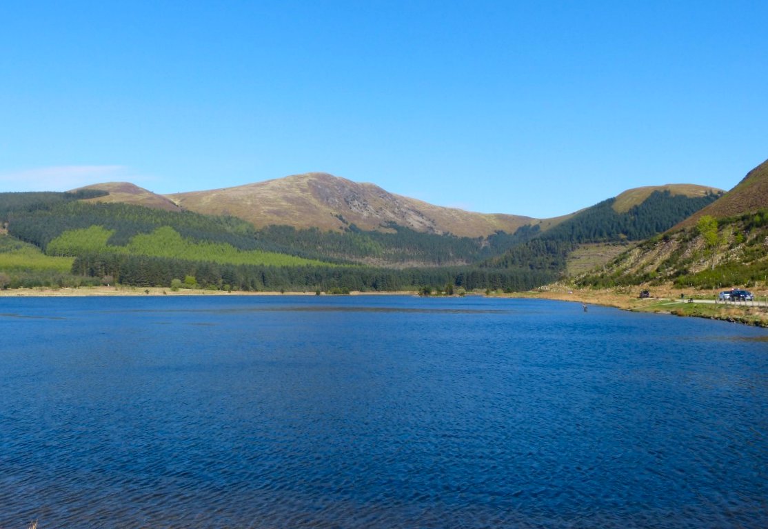
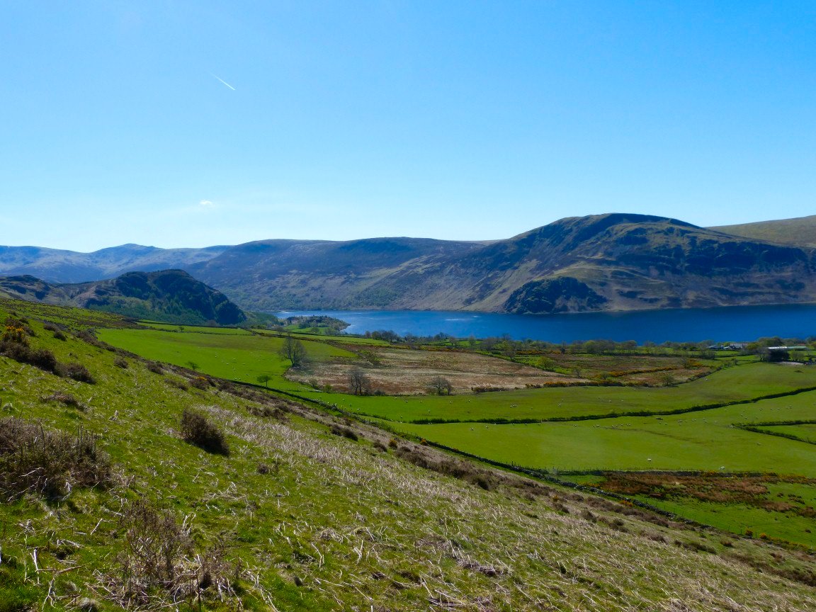
Buttermere.
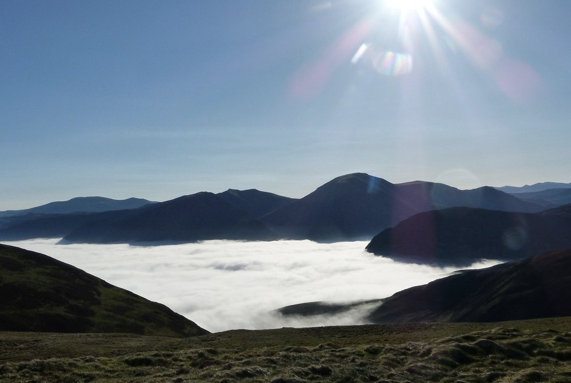
Lorton
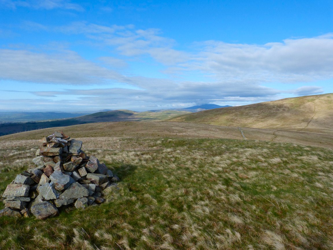
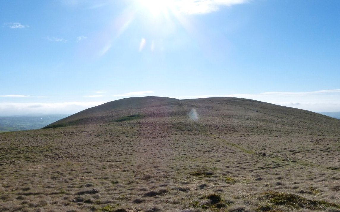
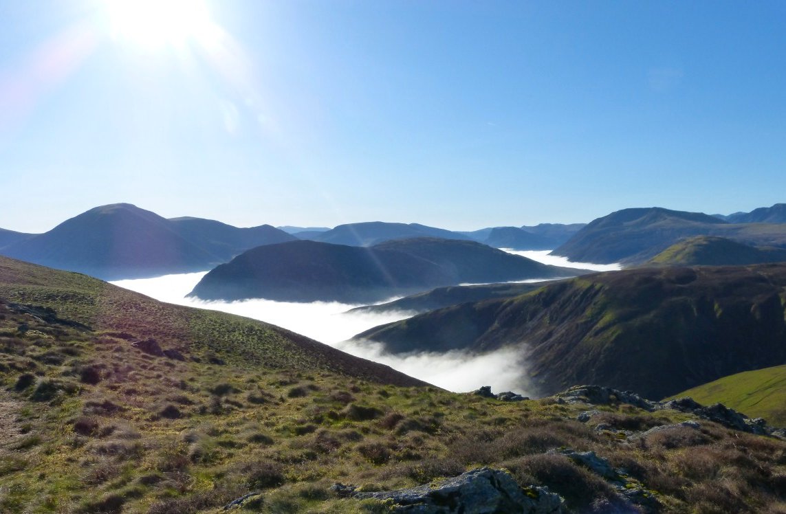
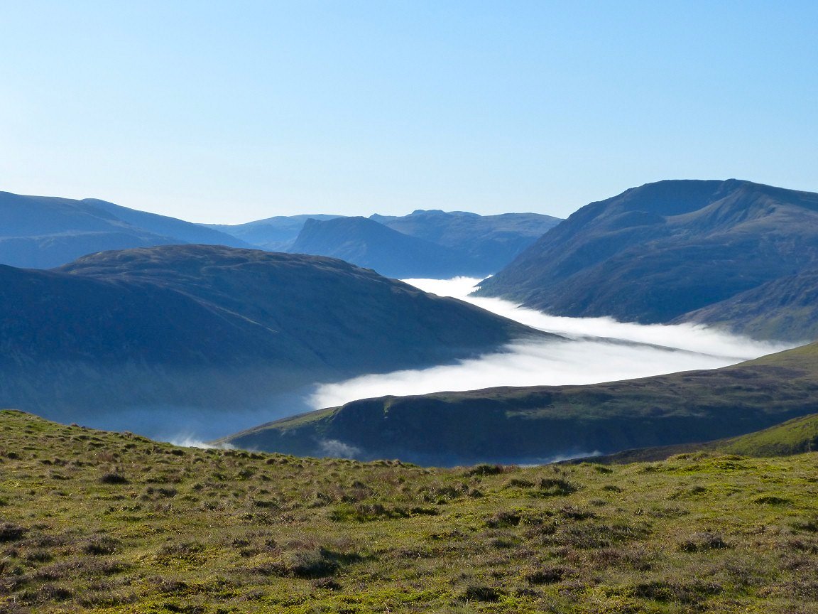
The next few pictures need no captions and were taken on the walk out to the two Birkett tops on Carling Knott and back to Blake Fell
Looking back to Carling Knott.
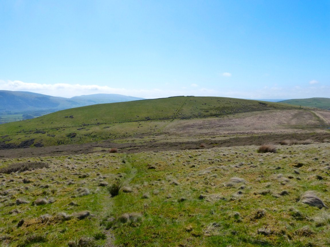
After climbing nearly back to the summit of Blake Fell I followed a path around to the left. I am making for High Nook ( Gavel Fell north top) , the little top on the right
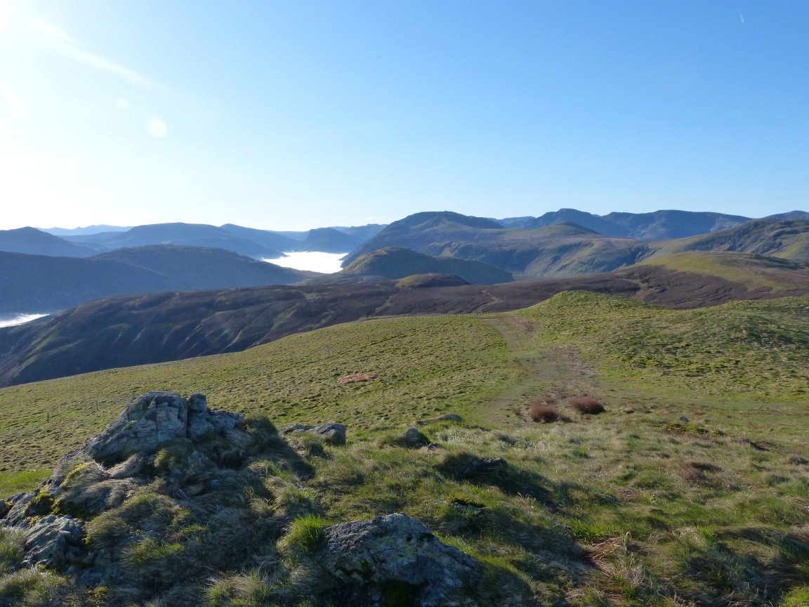
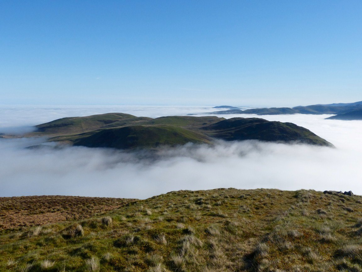
Once there I could see the inversion breaking over Lorton.
And over Buttermere.
After crossing a stretch of boggy ground I was on the path from Fothergill Head with High Pen ahead.
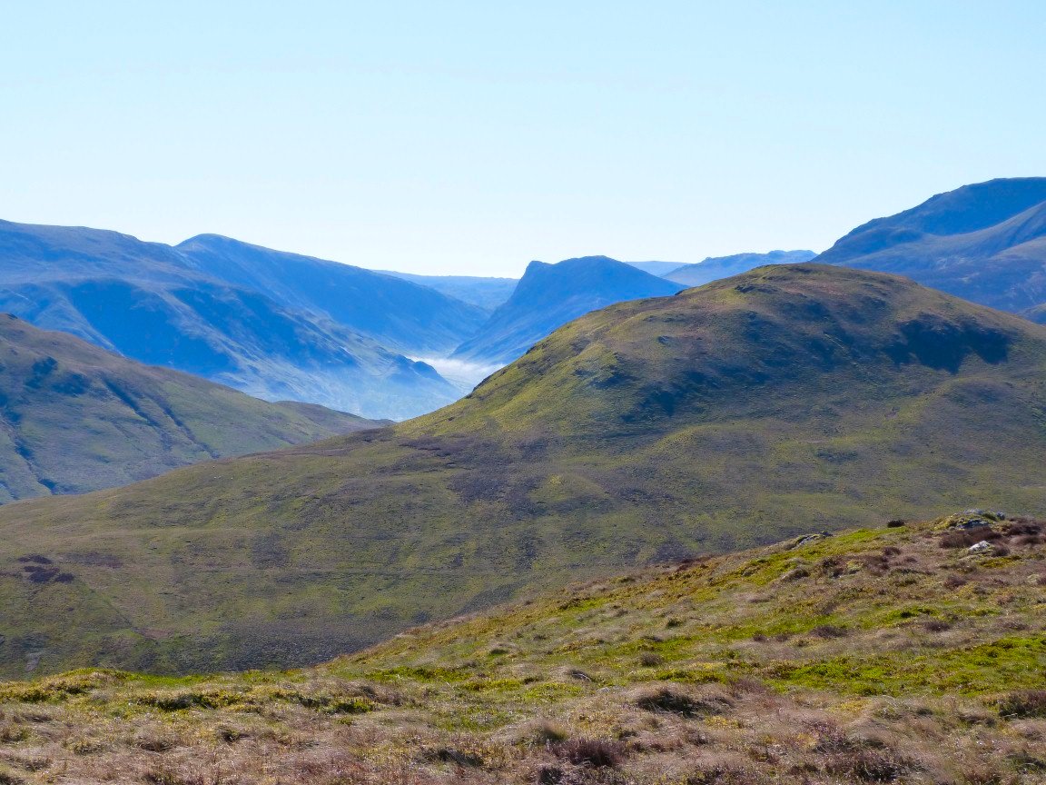
Pillar and Black Crag through the gap between Hen Comb and Gavel Fell
Only a short walk down to Low Pen from High Pen.
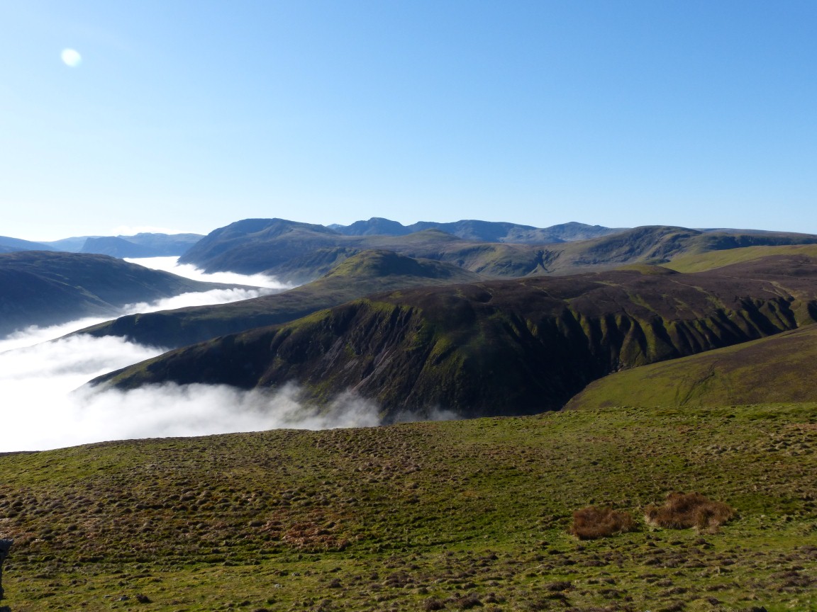
Blakefell Screes from Low Pen.
I came down from the side of Low Pen and made a bee line for the small but steep valley of Croasdale Beck. This was my lunch spot.
Contouring around the lower slopes of Banna Fell I soon had a view of my starting point.
Herdus from the muddy bridleway down to Whins from where it was only a hot mile to my car