WWW.KARLSWALKS.CO.UK
PICTURES AND TRIP REPORTS FROM MY WALKS IN THE ENGLISH LAKE DISTRICT
Sue was a bit under the weather this week so in her absence I thought I'd try a few routes that she probably wouldn't be confident with.
I hadn't really intended climbing Seat Sandal but as we had no views when we came a few weeks ago and I hadn't climbed the ridge above High Broadrayne for a few years I added it to my day
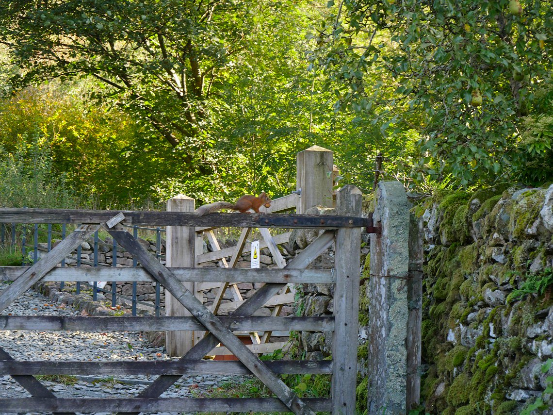
This little chap considerately sat still while I took his photo.
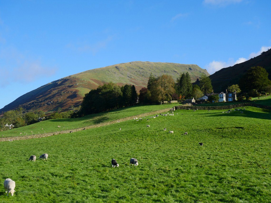
Helm Crag across the valley.

And from slightly higher on the path Helm Crag, Greenburn and Steel Fell.
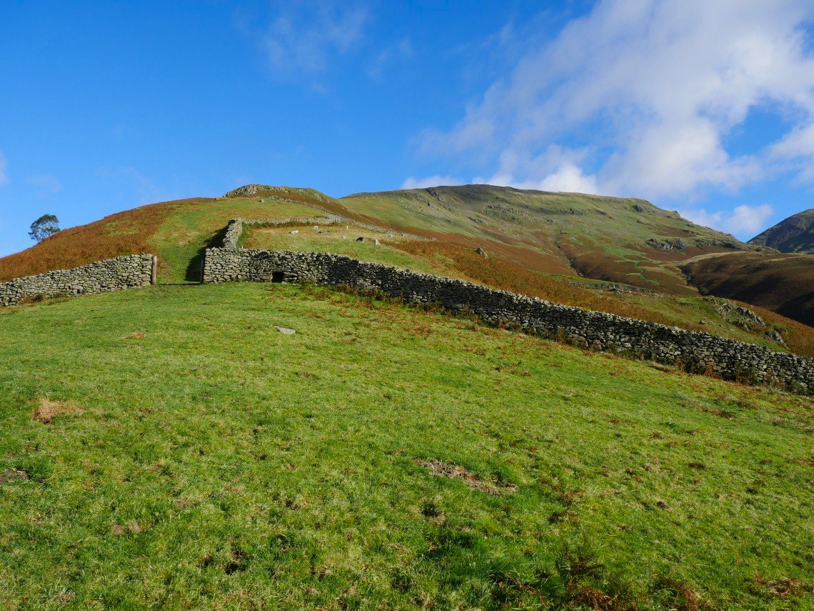
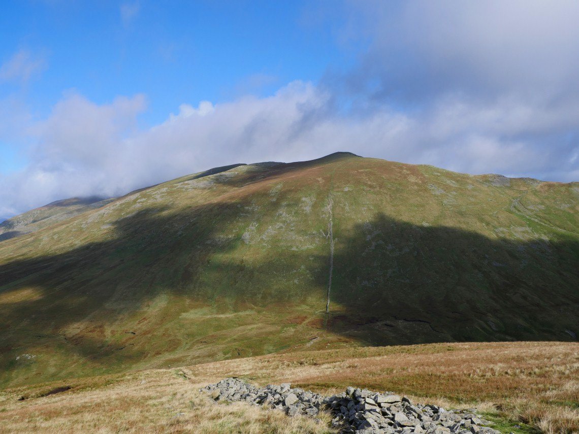
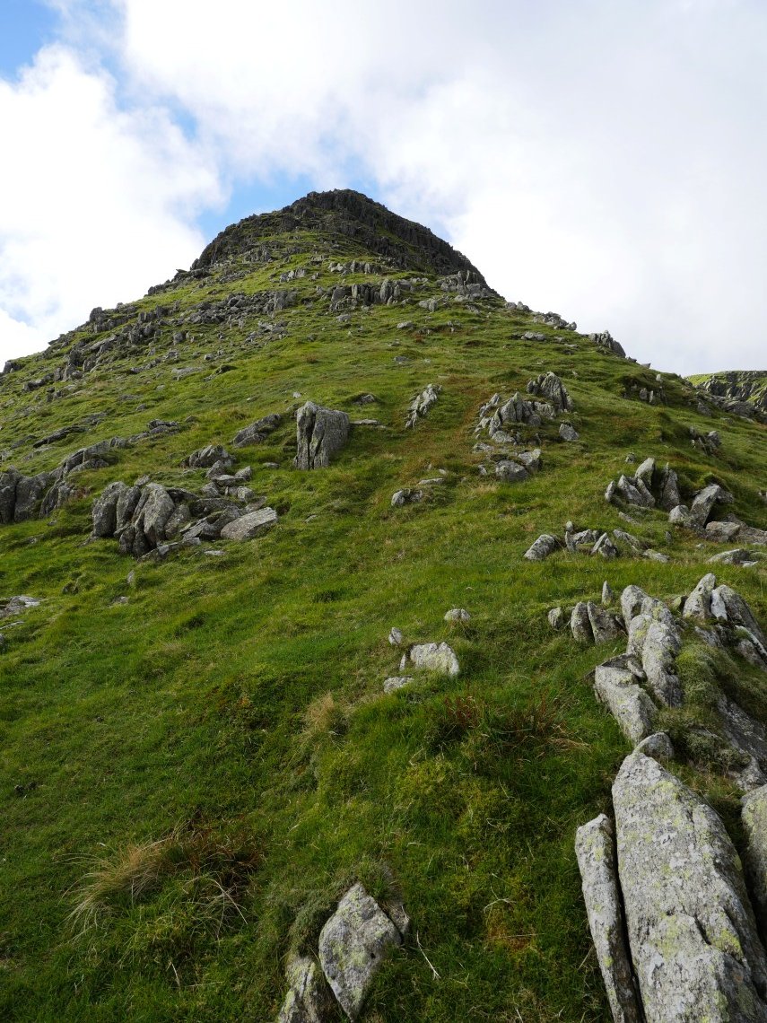
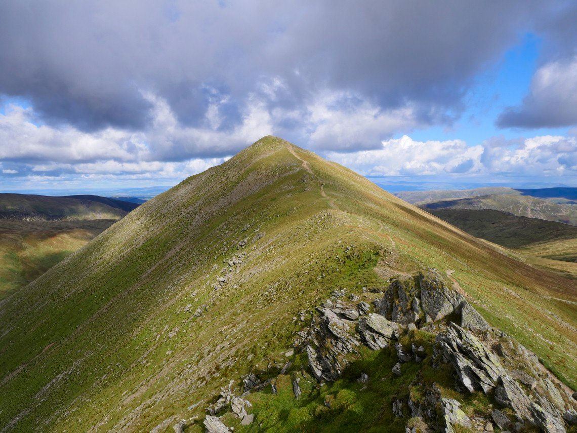
The way up.
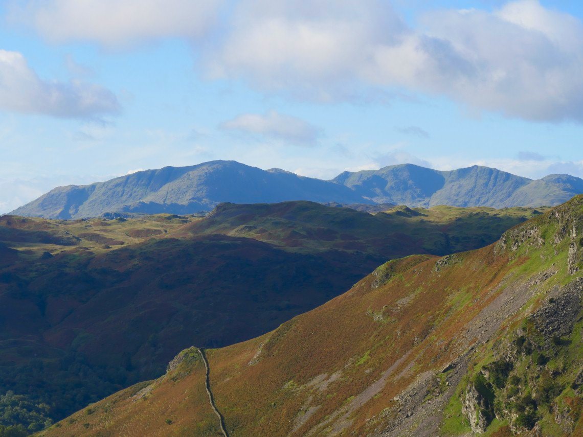
A look across to the Coniston fells.
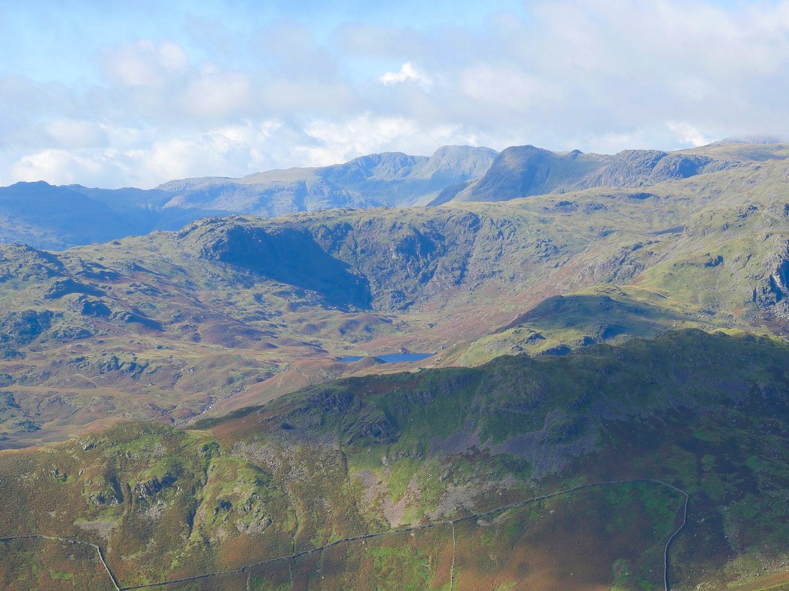
And to Easedale Tarn with the Langdale Pikes and Bowfell beyond.
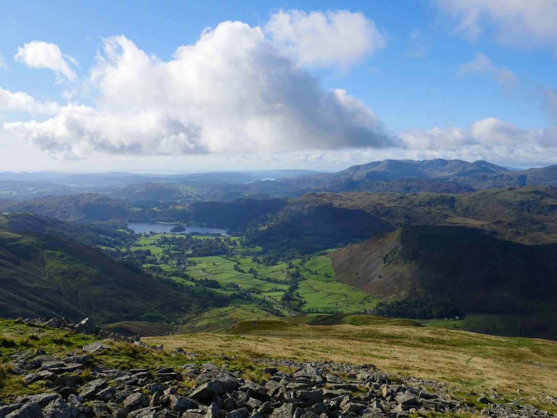
Grasmere and the coast appear as height is gained.
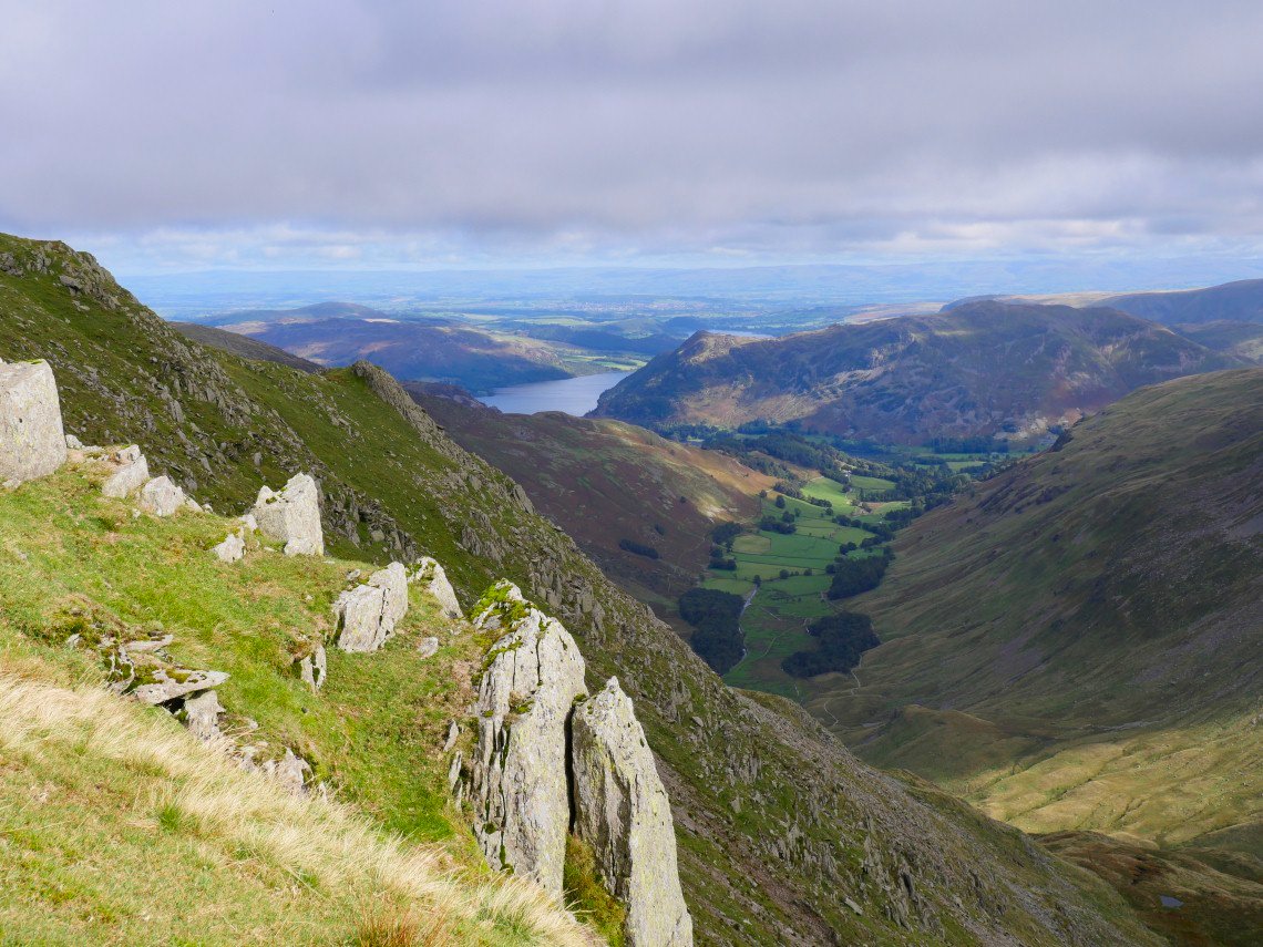
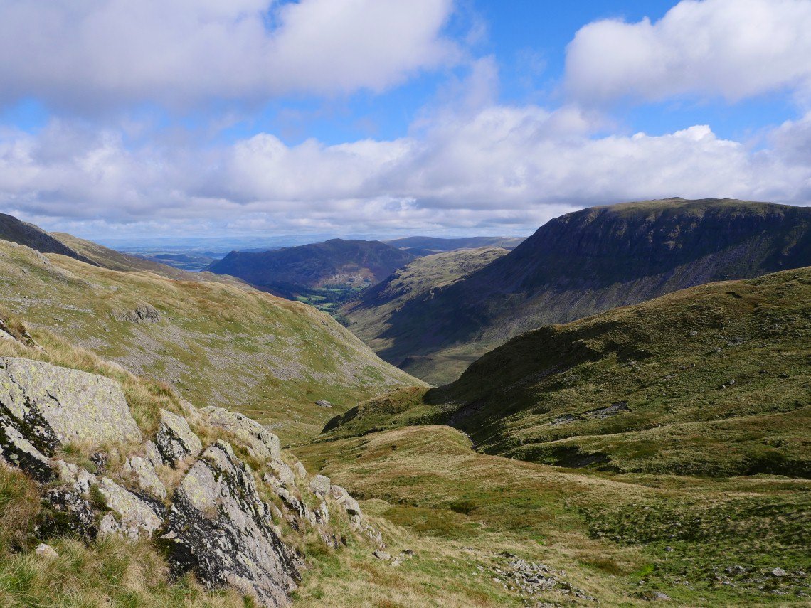
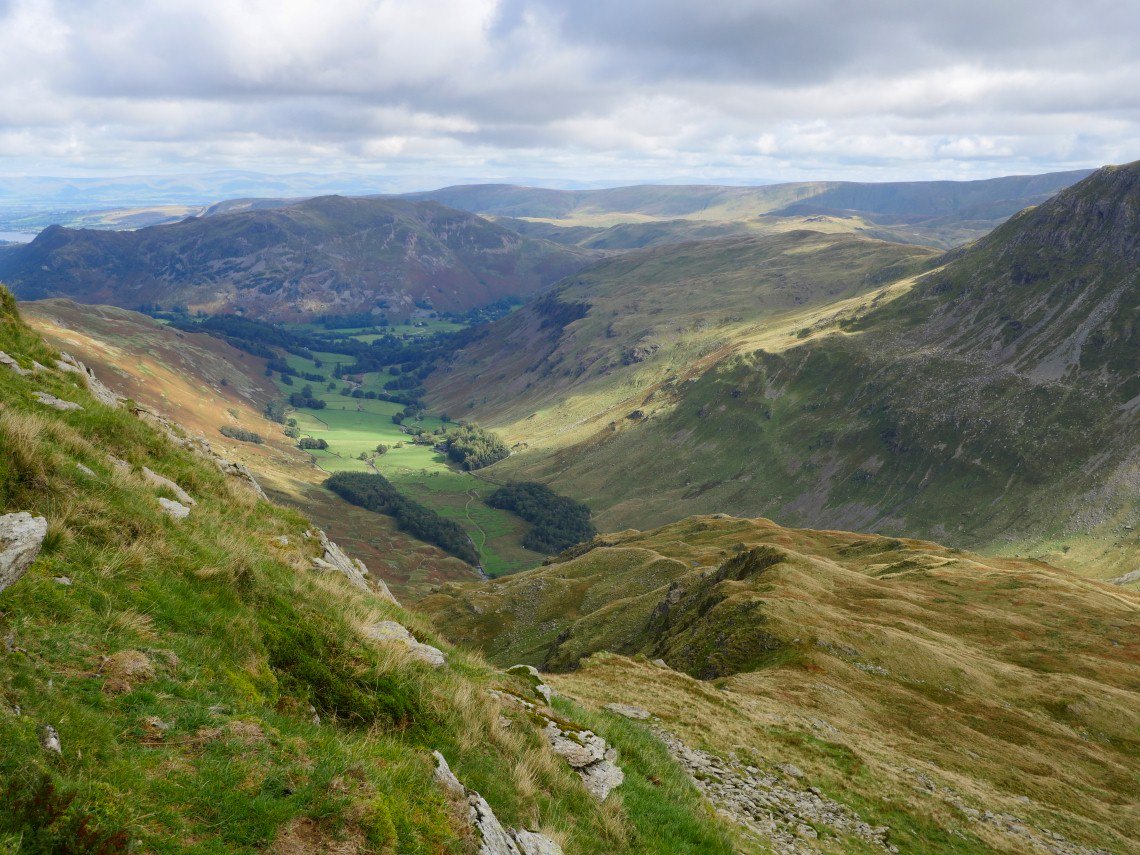
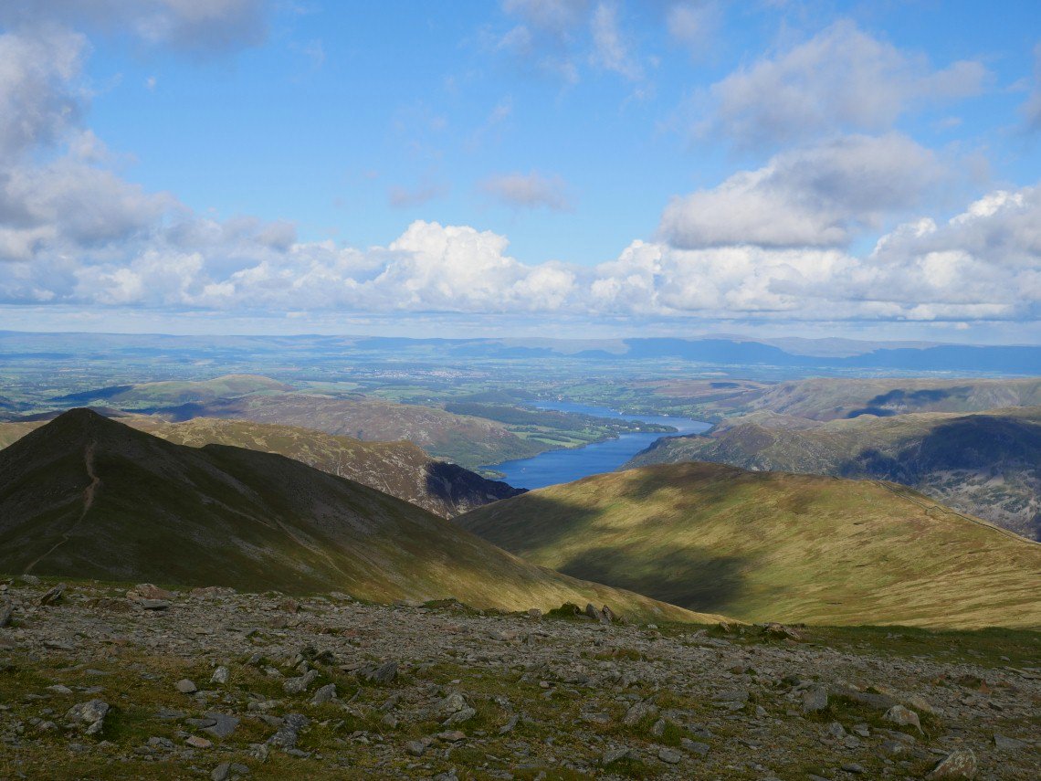
On to Seat Sandal looking along Grisedale to Ullswater in the distance.
.
Following the wall down then up to Dollywagon Pike seen here in shadow.
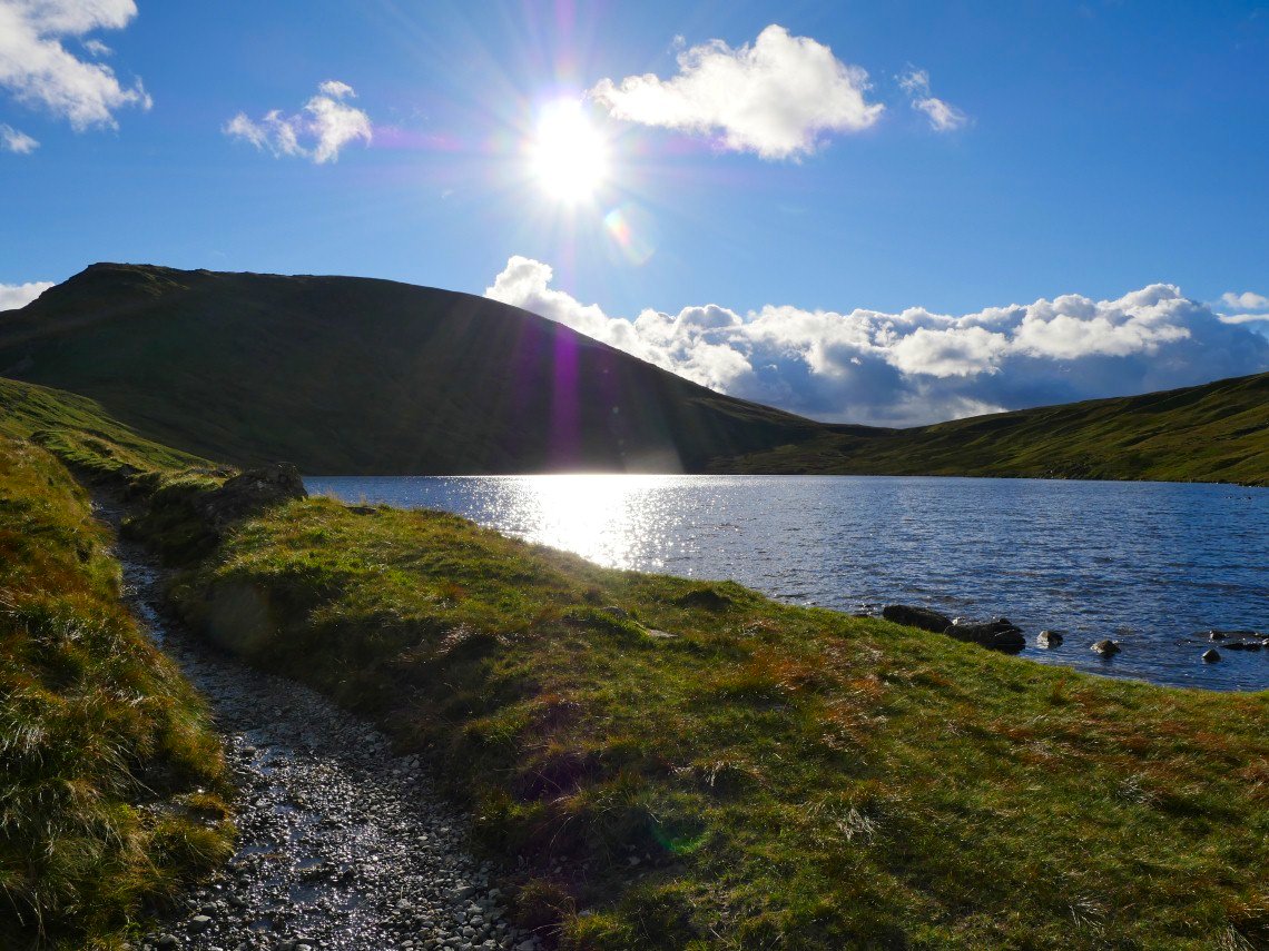
Grisedale Tarn with St.Sunday, Cofa Pike and Fairfield behind.
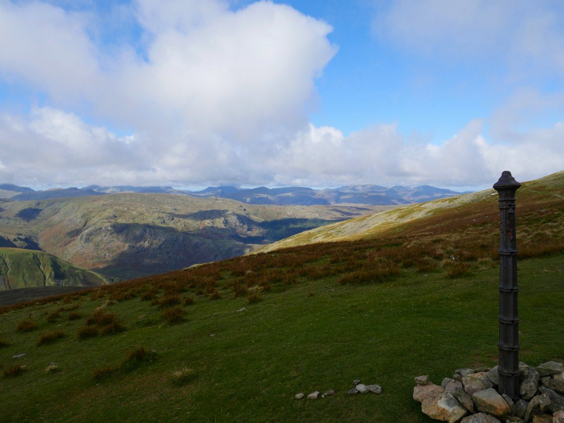
After the stiff climb by the wall you come to the post just below the summit of Dollywagon.
A bit more of Ullswater and Place Fell from the climb to Dollywagon.
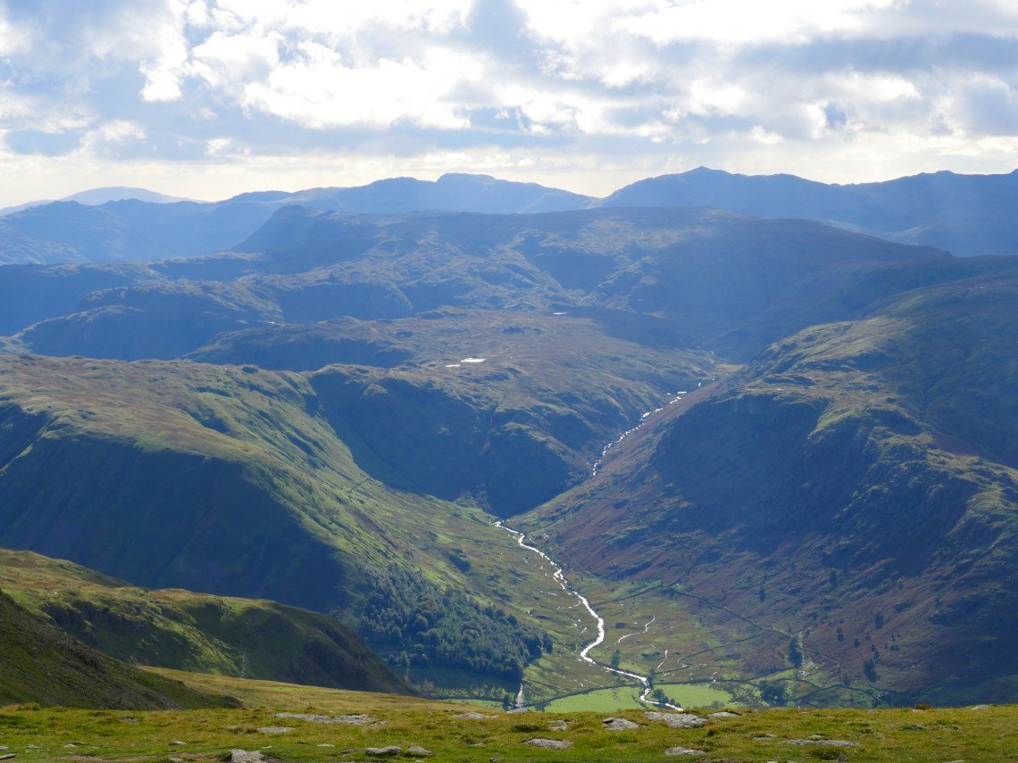
Starting on the steep descent down the Tongue I'm looking across Ruthwaite Cove to Hard Tarn and the east ridge of Nethermost Pike..
Looking back to Dollywagon.
And looking down the Tongue.
Another look back up from where I leave the Tongue and find a route down to Ruthwaite Cove.
Which was a bit rough. I definitely woul only do this in perfect weather..
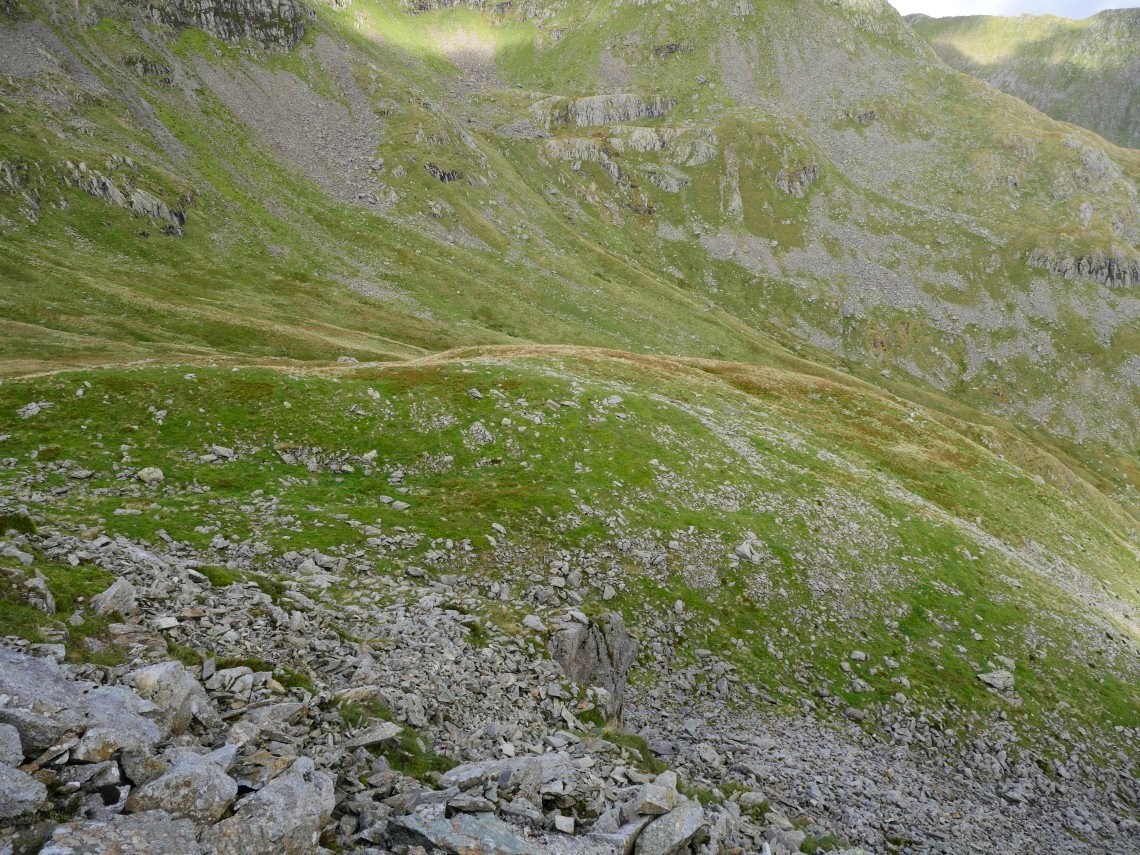
Into the cove now. High Crag above..
The view down from the crossing of the cove.
Just one more obstacle to cross before I reach Hard Tarn..

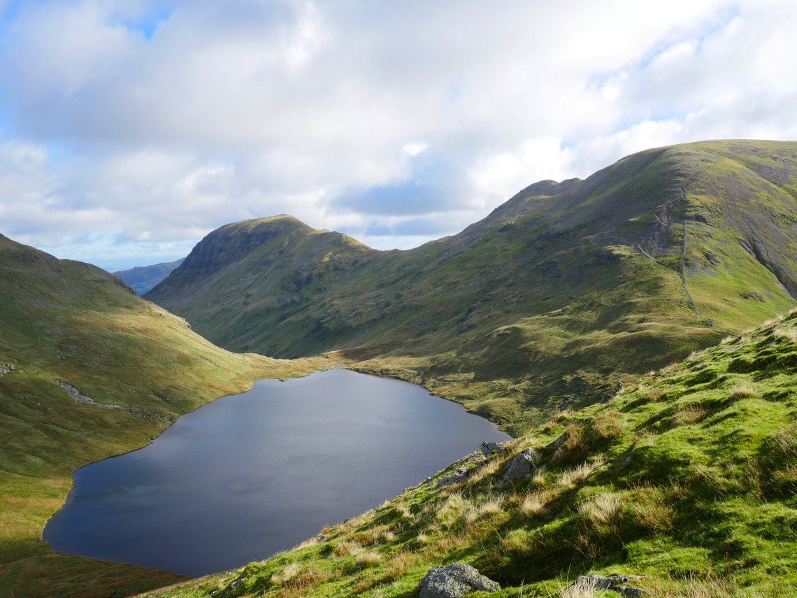
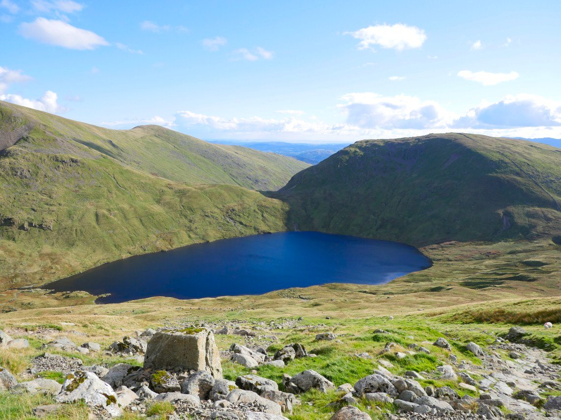
Hard Tarn.
After a few minutes relaxing by the tarn it's onwards and upwards onto the east ridge of Nethermost Pike.
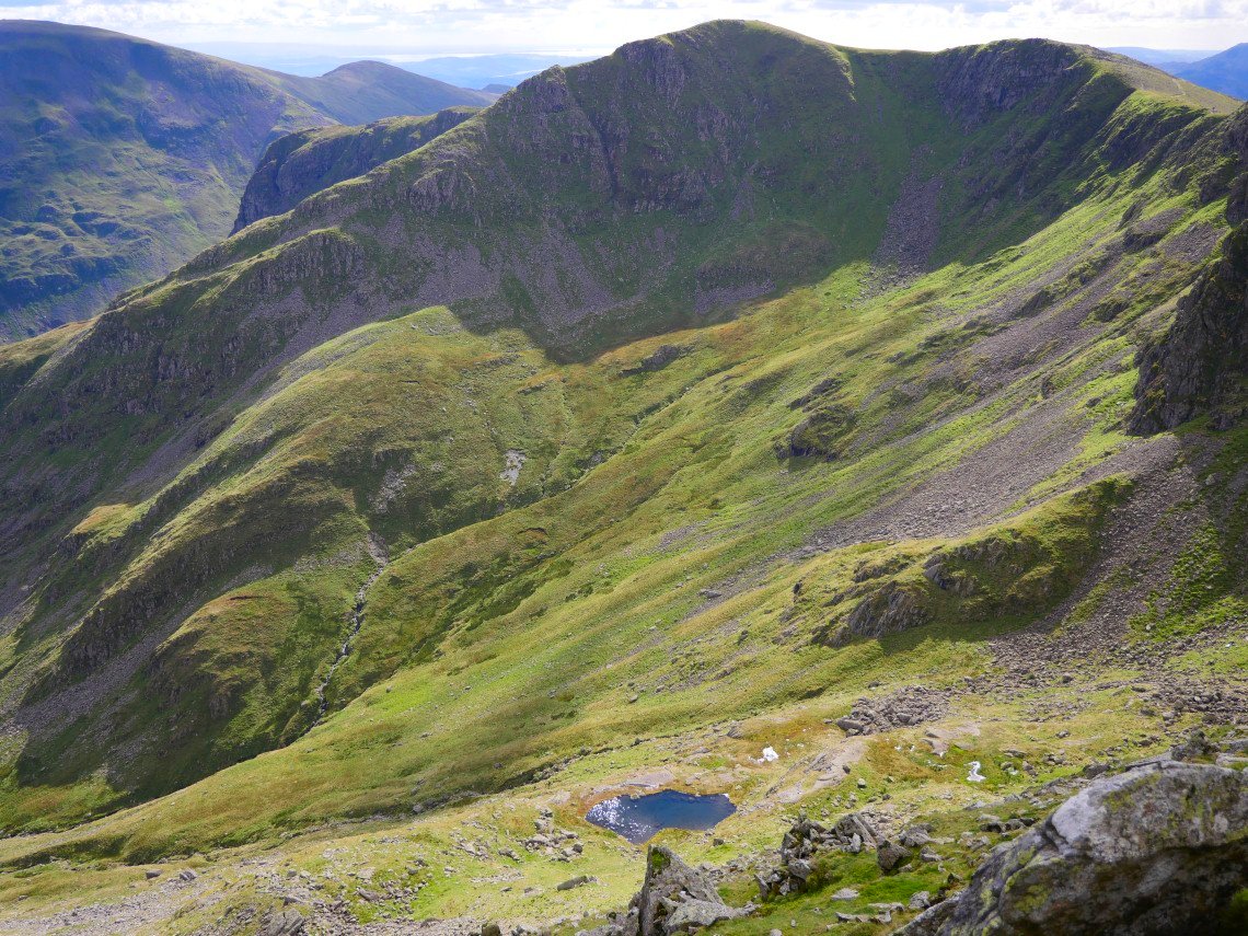
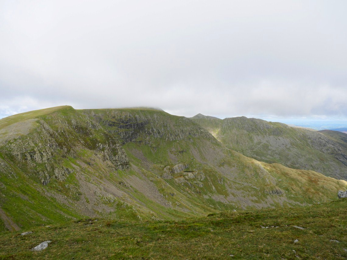
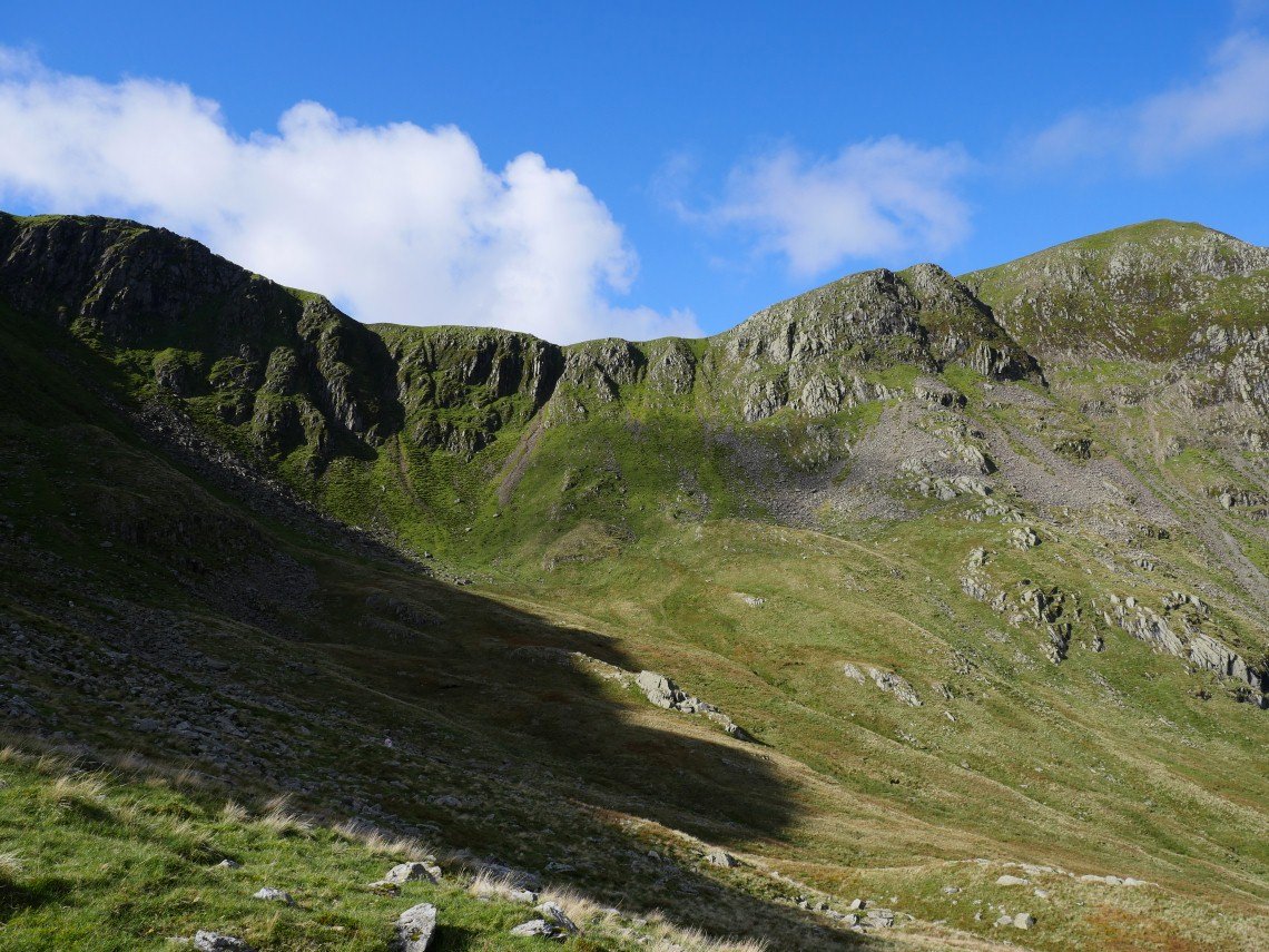
Dollywagon Pike, The Tongue, Ruthwaite Cove and Hard Tarn from the climb.
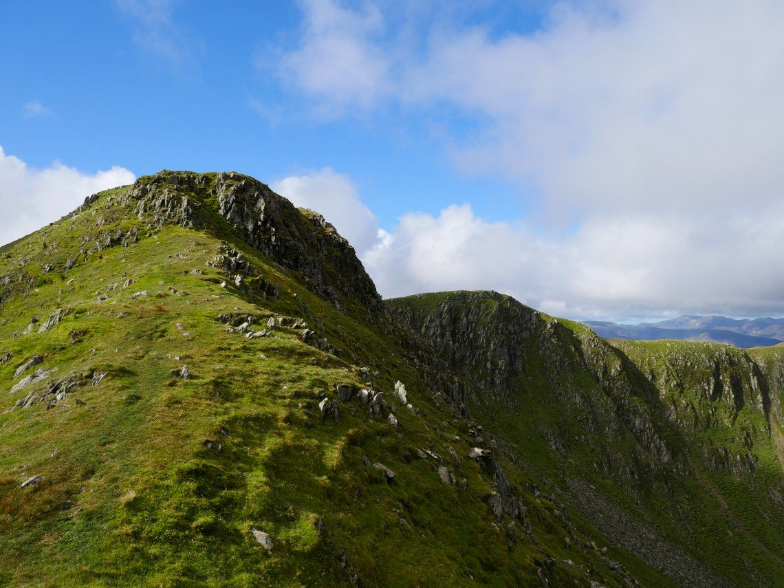
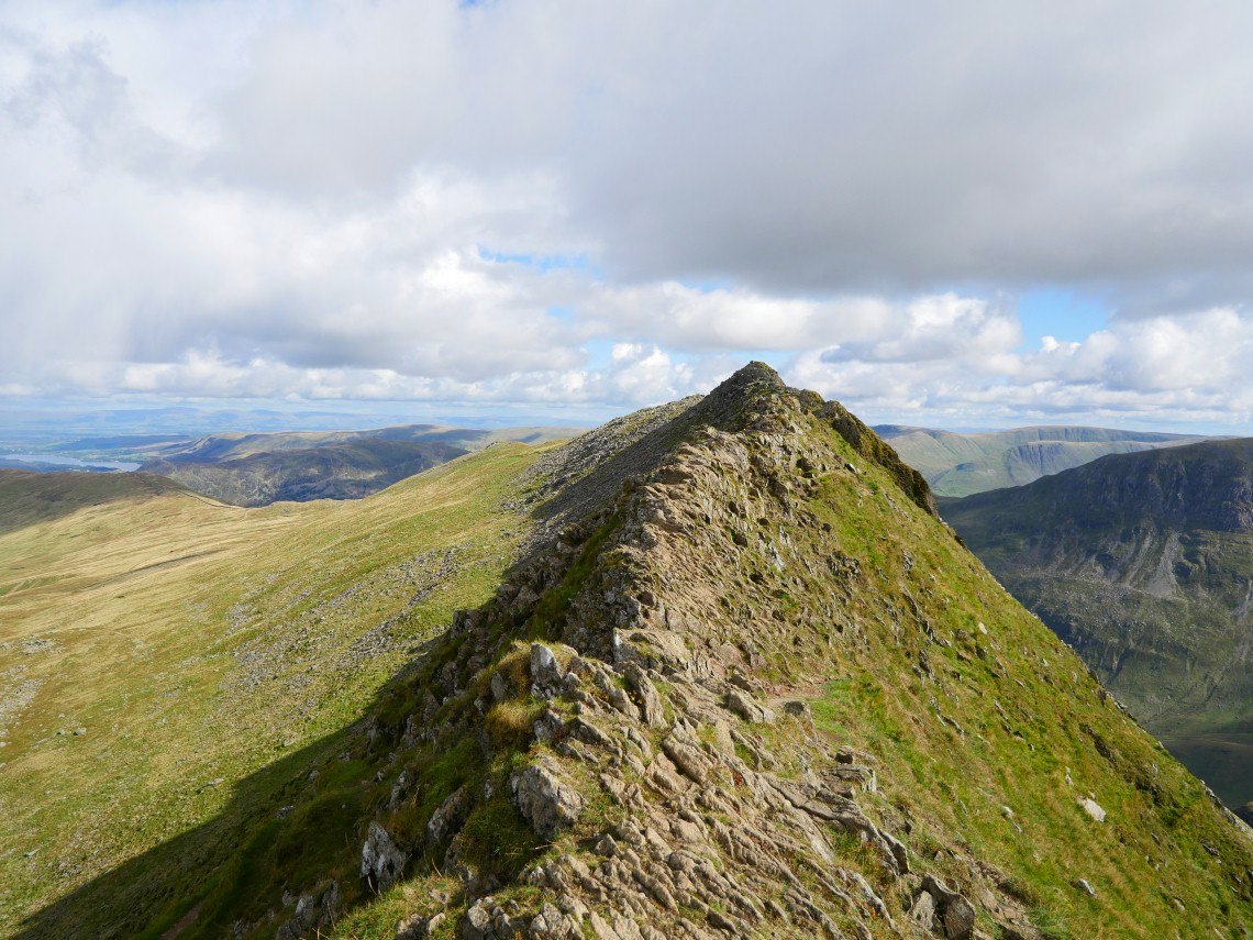
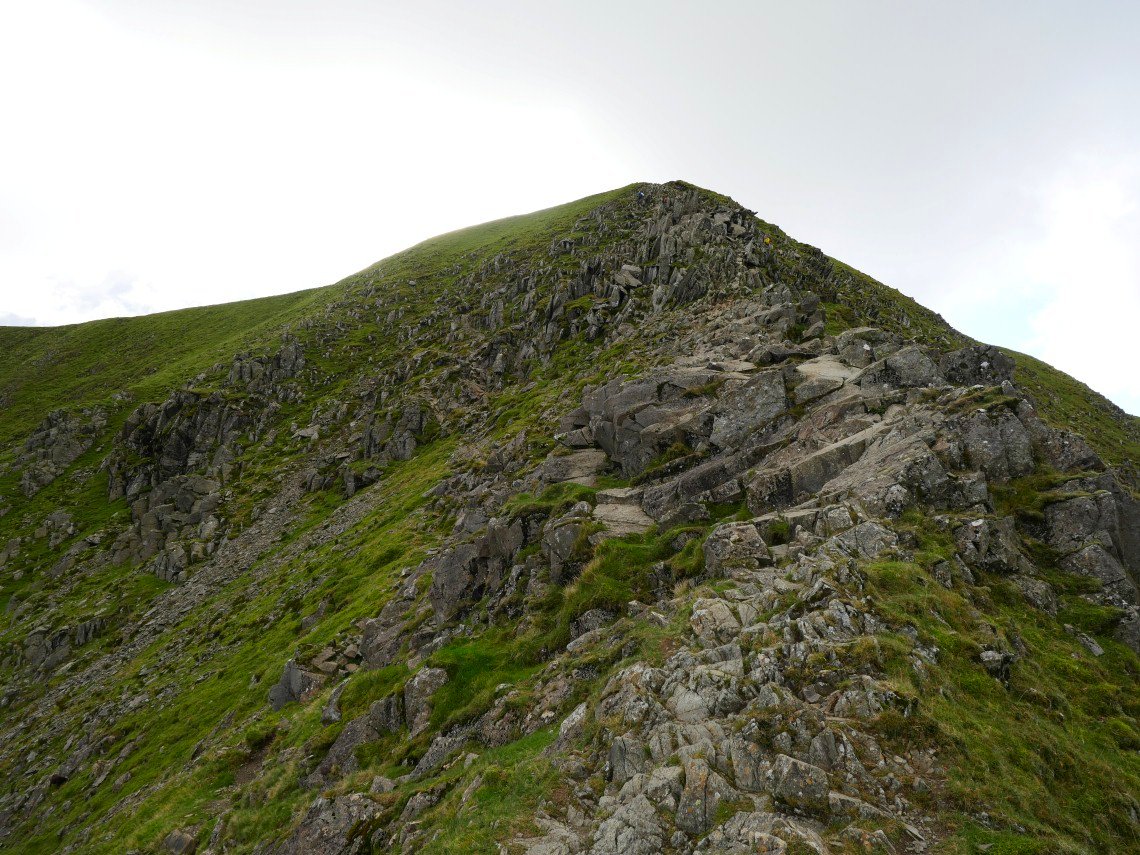
Looking back from just above the only really narrow part of the ridge..
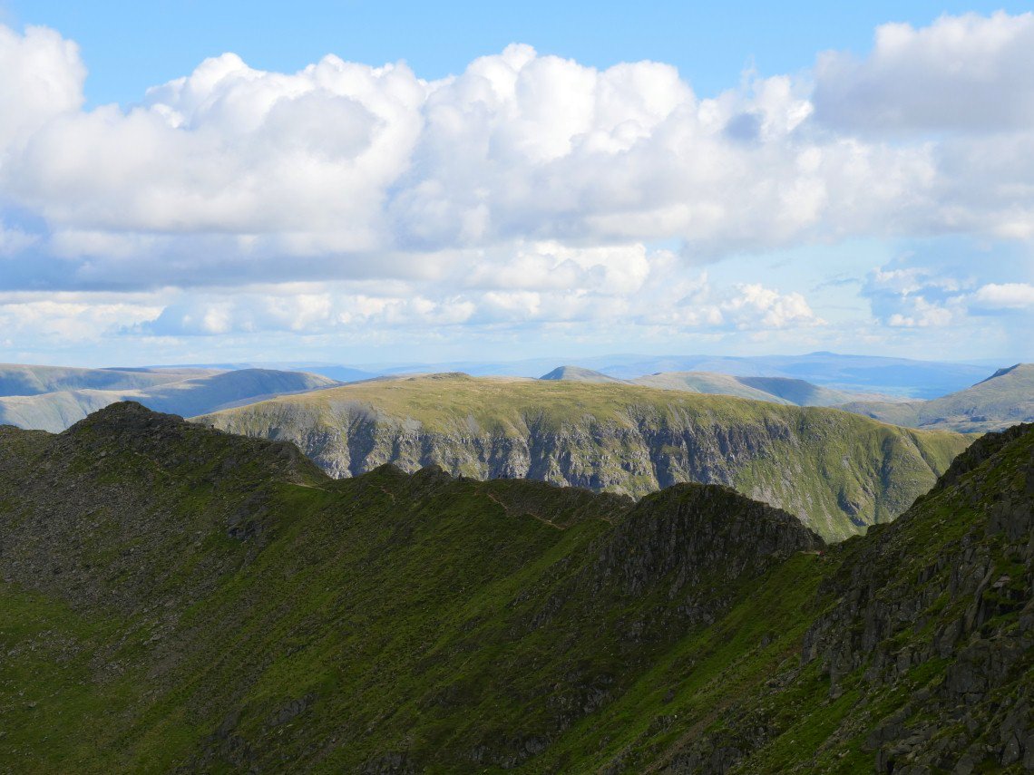
On to Nethermost and the high fells are looking very moody.
Striding Edge is my next down but first I have the short walk to the exit ramp on Helvellyn.
Starting the down climb.
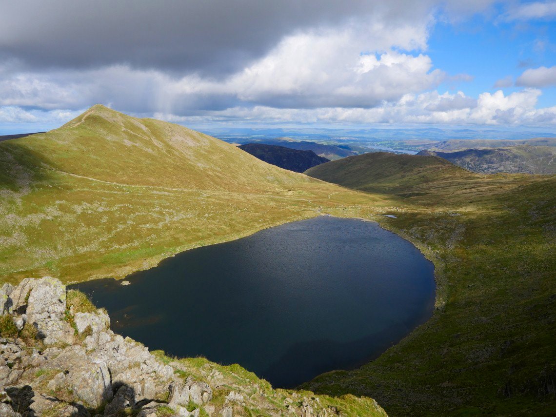
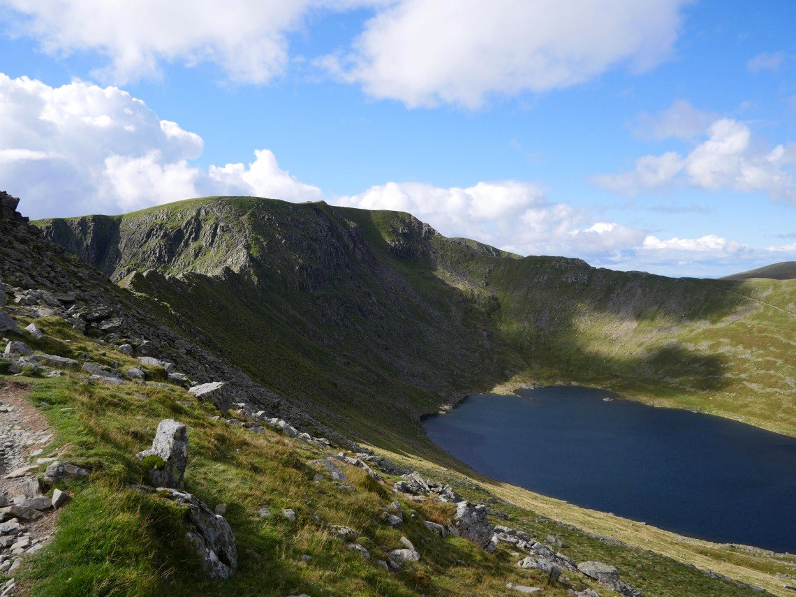
Red Tarn and Catstyecam.
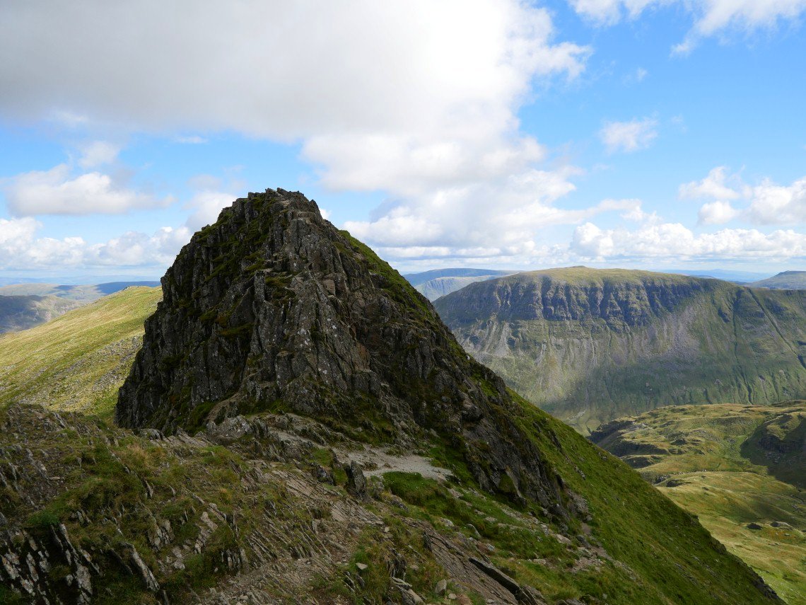
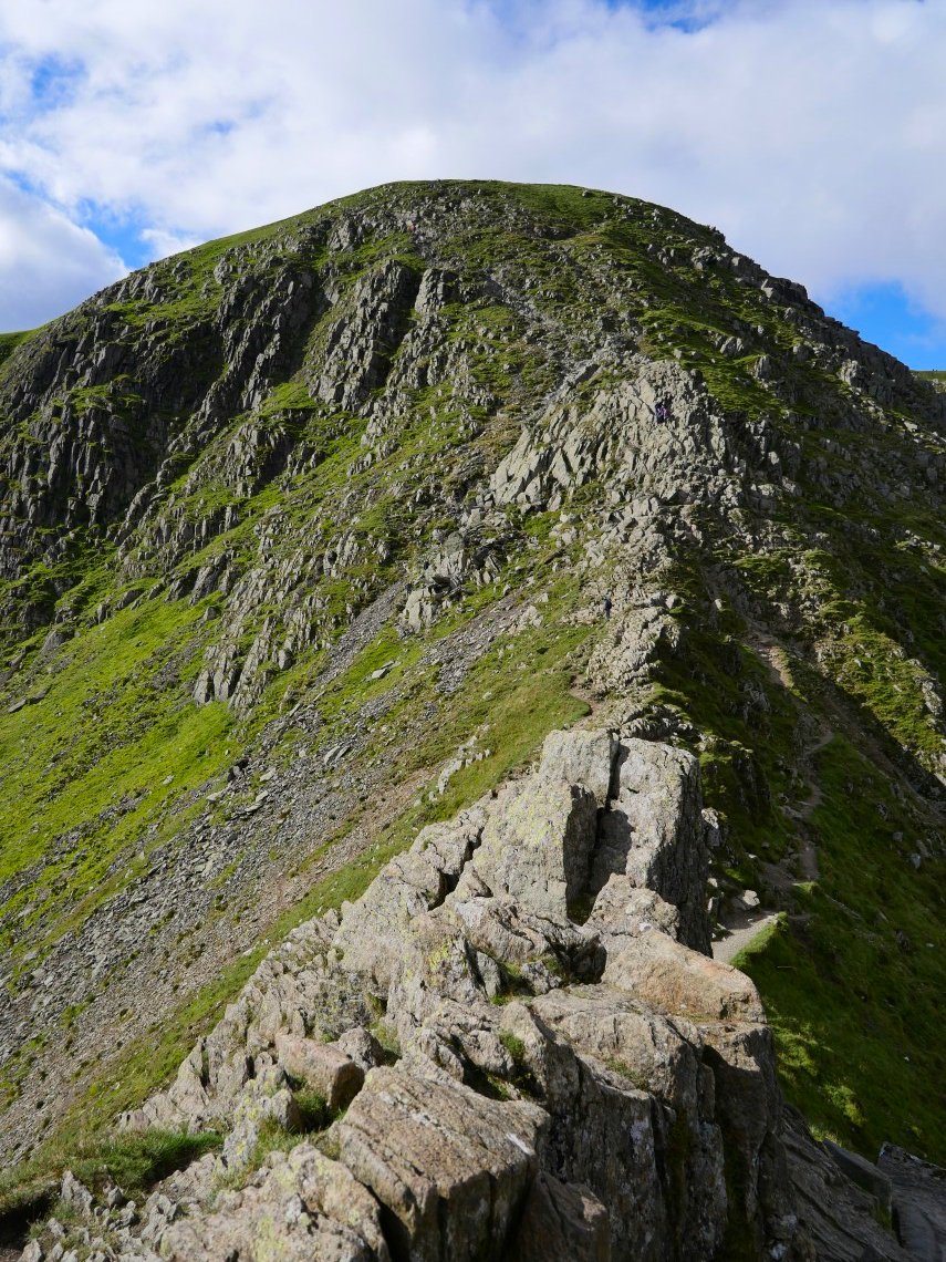
The Chimney on Striding Edge. There was a bit of a breeze blowing but I managed to keep to the very top path for most of the way.
.
A look back to the exit ramp.
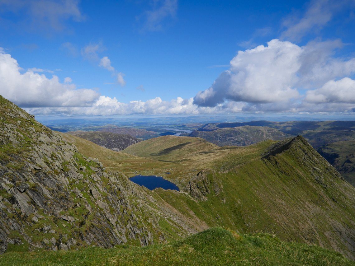
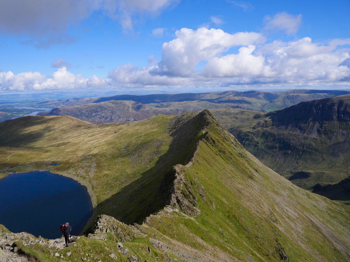
Striding Edge.
Helvellyn from where I dropped off the edge heading for Red Tarn.
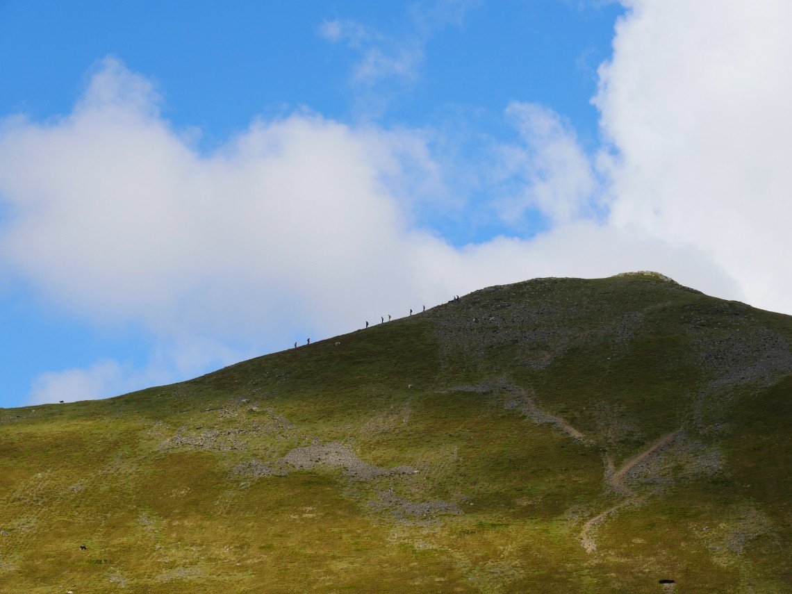
Catstyecam walkers.
Catstyecam from low down on Swirral Edge.
The higher section of Swirral.
Striding Edge in shadow St.Sunday Crag in sunshine.
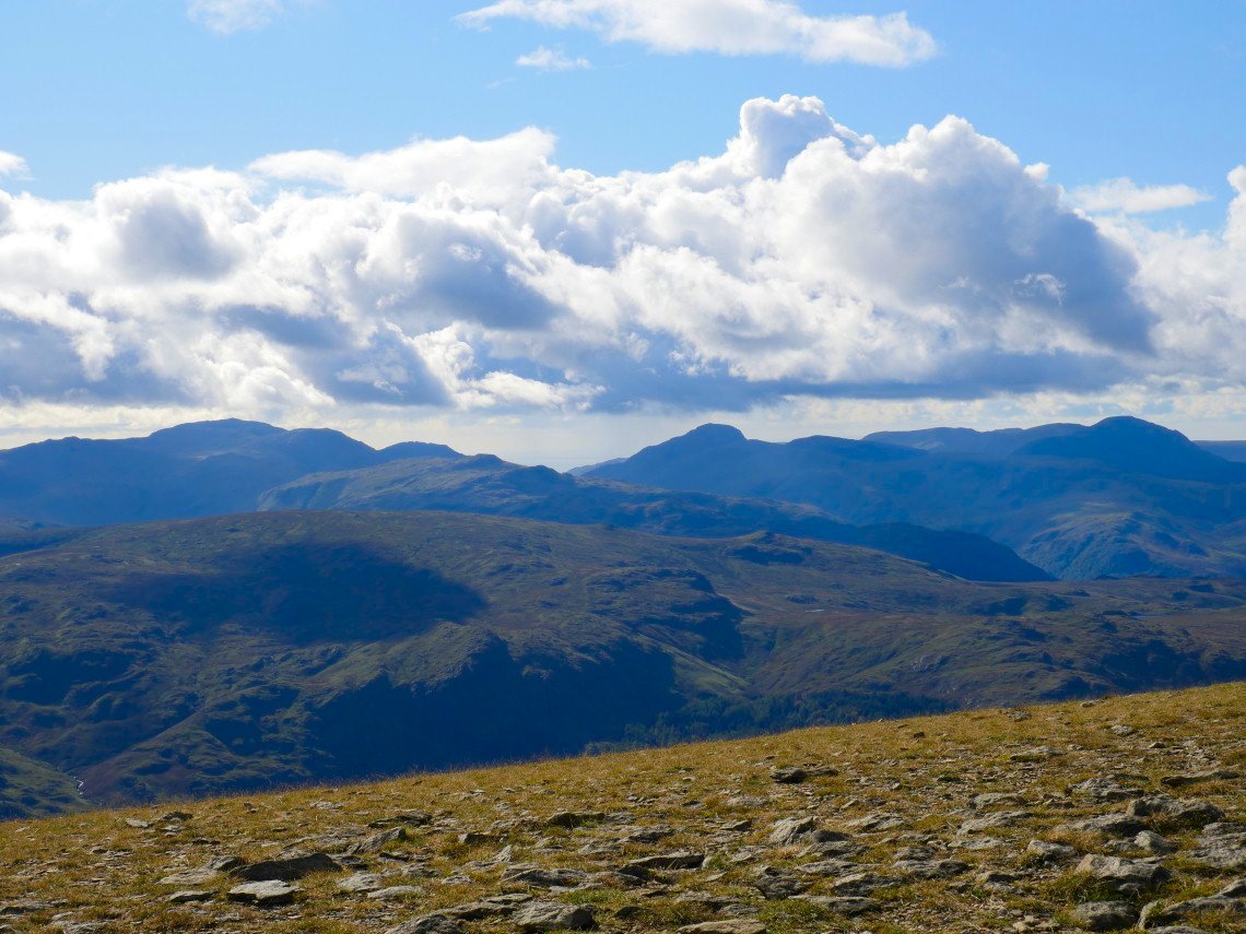
On to Helvellyn now and the high fells from Scafell Pike on the left to Pillar on the right are all clear of cloud now.
Ullswater and the north Pennines.
Whyth Burn shining in the afternoon sunshine.
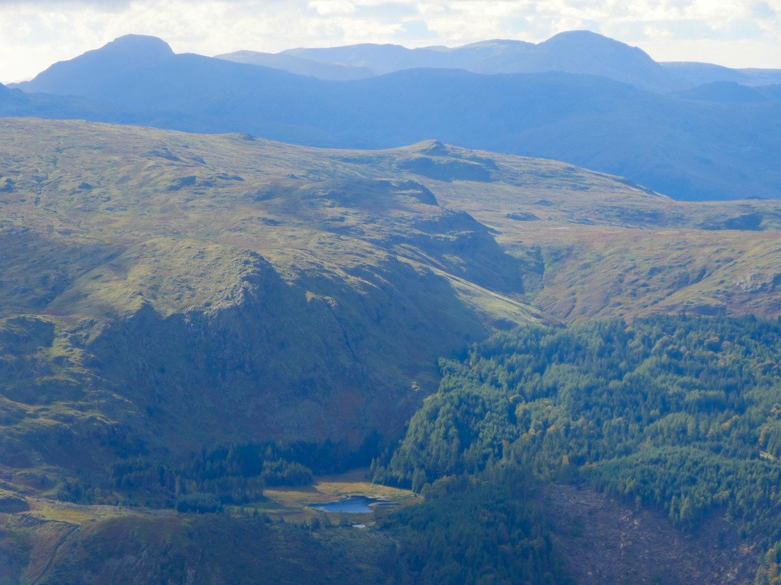
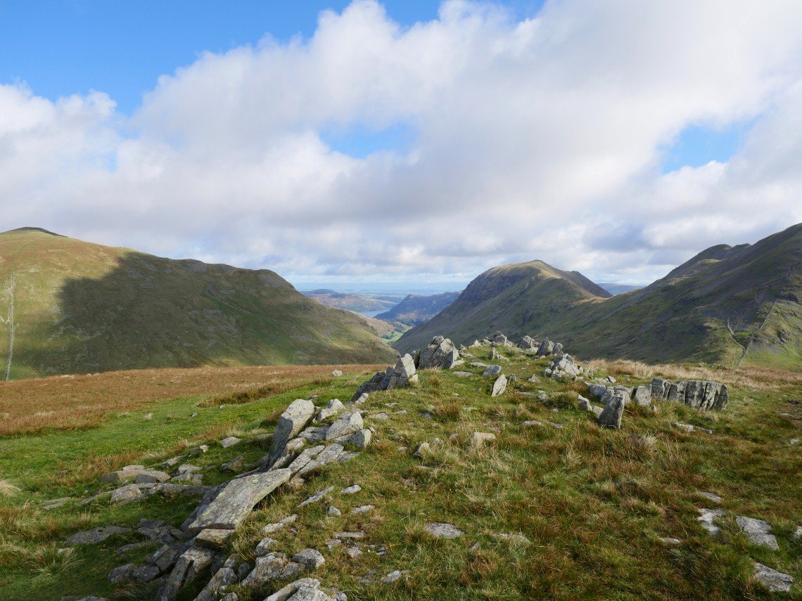
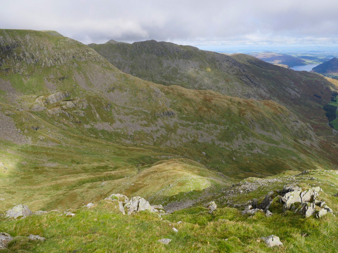
Harrop Tarn with Great Gable above to the left and Pillar above to the right.
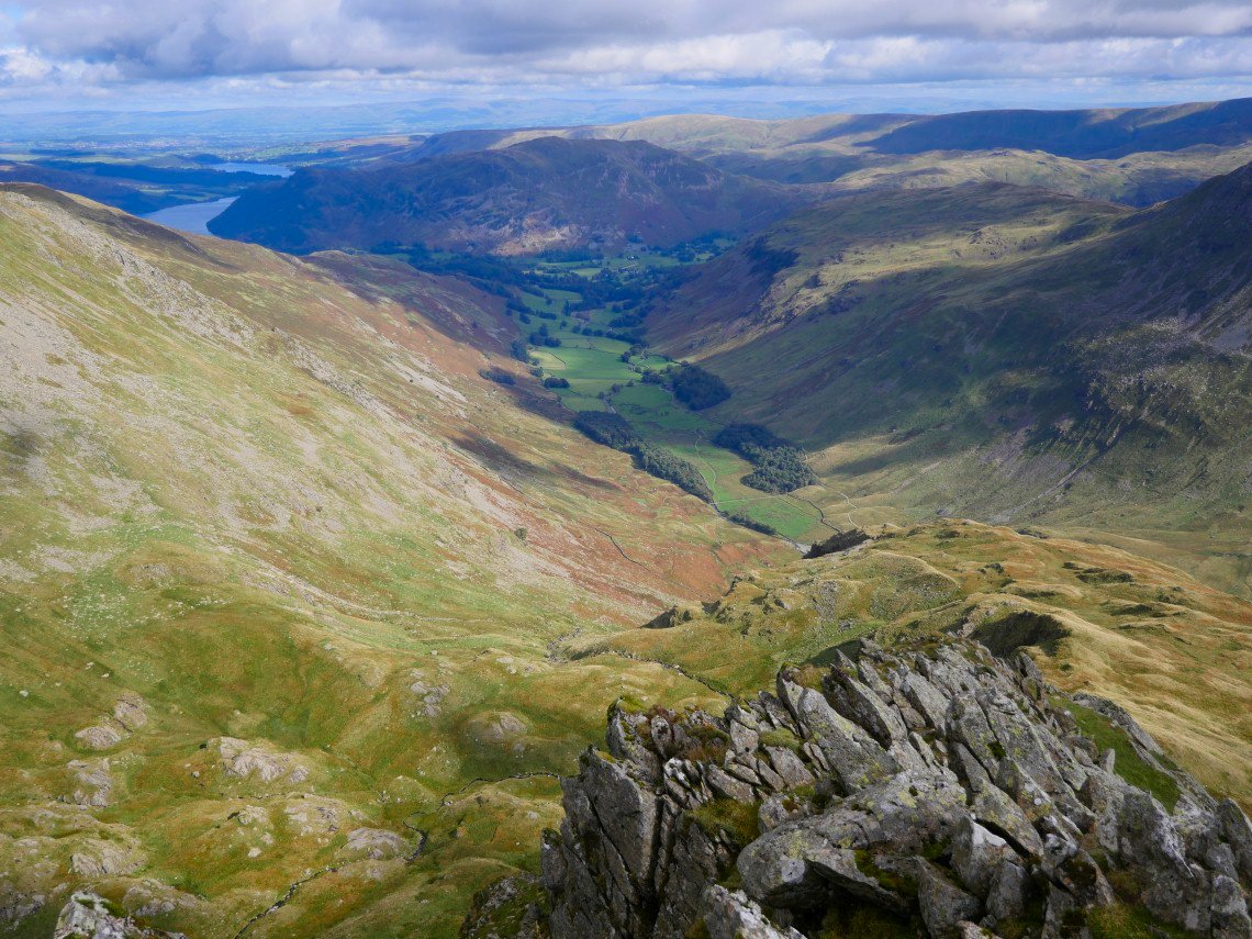
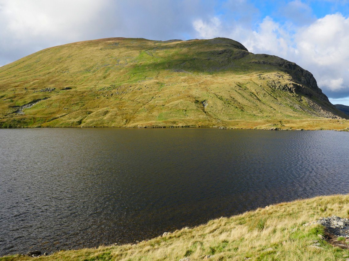
Grisedale Tarn and Seat Sandal from the Dollywagon Zig-Zags..
Looking into the sun to Seat Sandal.
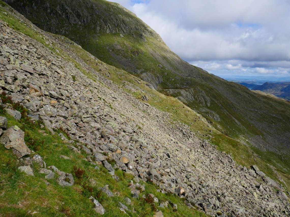
Dollywagon Pike.
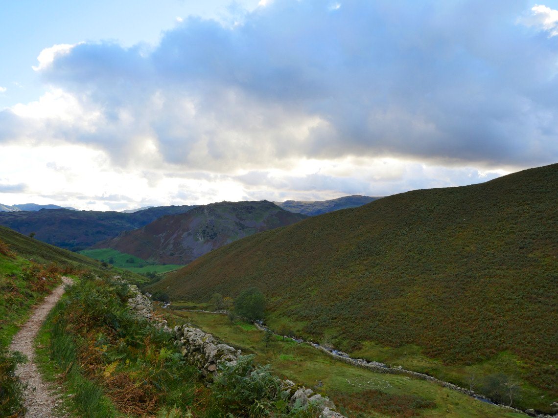
On the coast to coast path down Tongue Gill after a tiring but exciting day..