WWW.KARLSWALKS.CO.UK
PICTURES AND TRIP REPORTS FROM MY WALKS IN THE ENGLISH LAKE DISTRICT
|
|
|
|
Me, Emily and my nephew Harry headed up to Great Langdale, we arrived at our usual campsite at Bayesbrown farm to find it closed due to flooding. So we drove down to the small site at Tarn Foot beautifully situated next to Loughrigg Tarn.

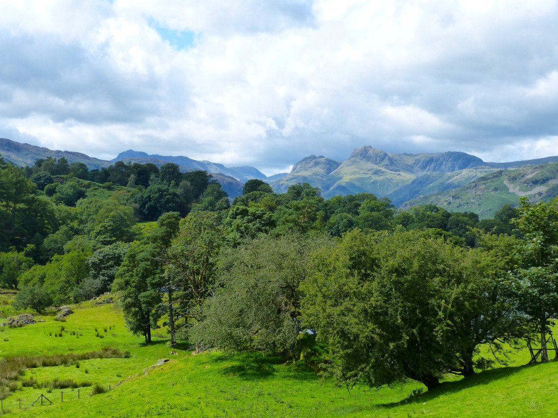
Lovely view of the Langdale Pikes from the small hill above the site.
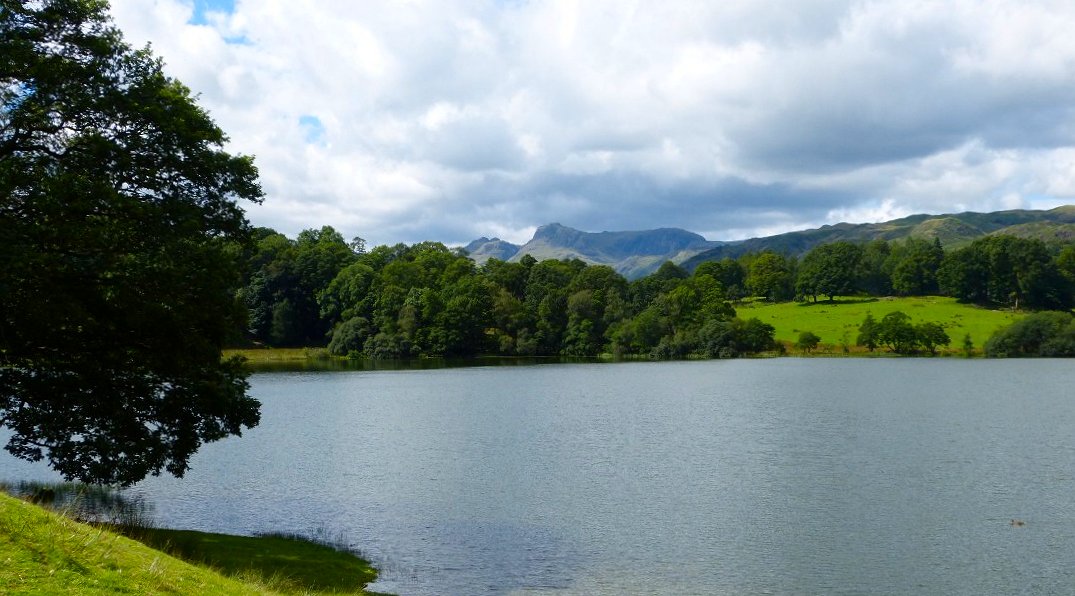
The Pikes again but this time with added Loughrigg Tarn.
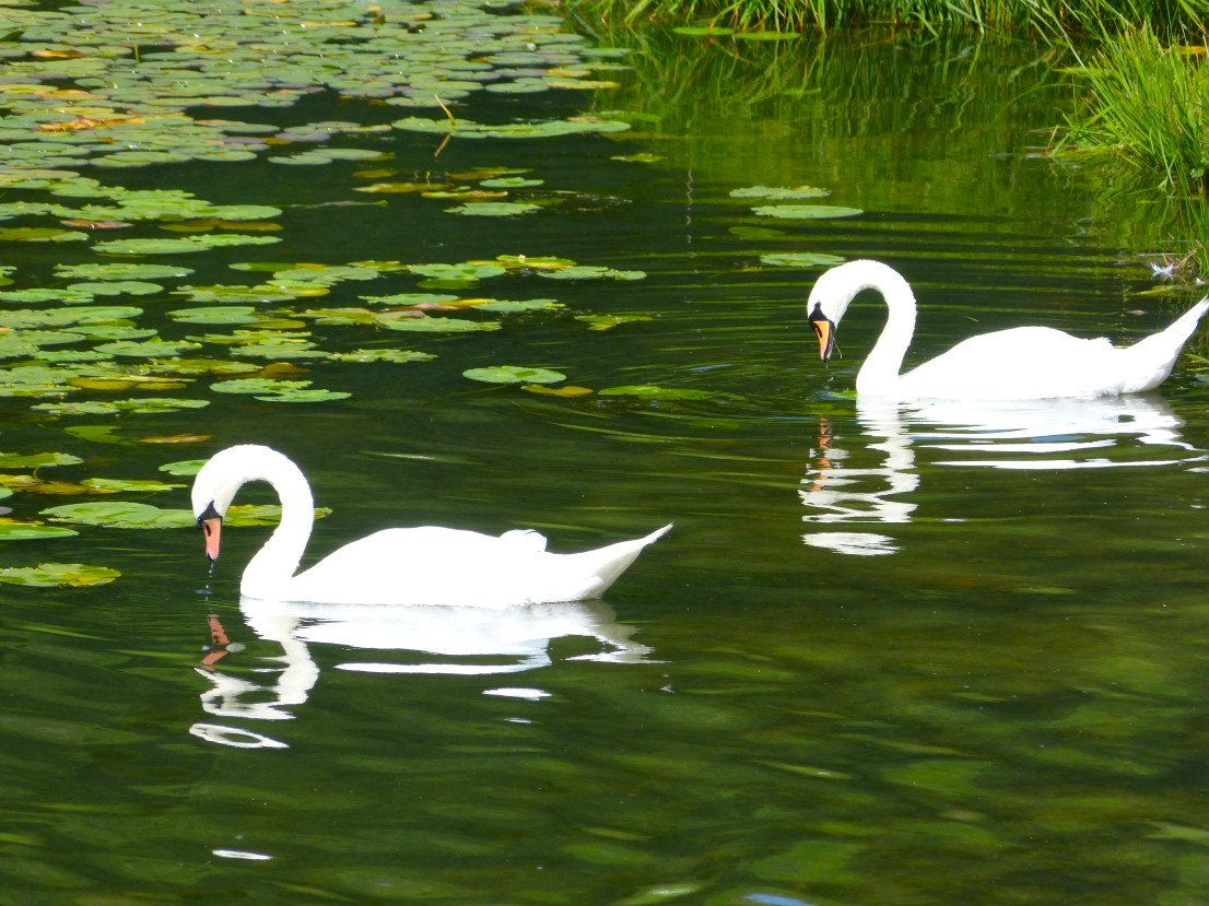
Loughrigg swans.
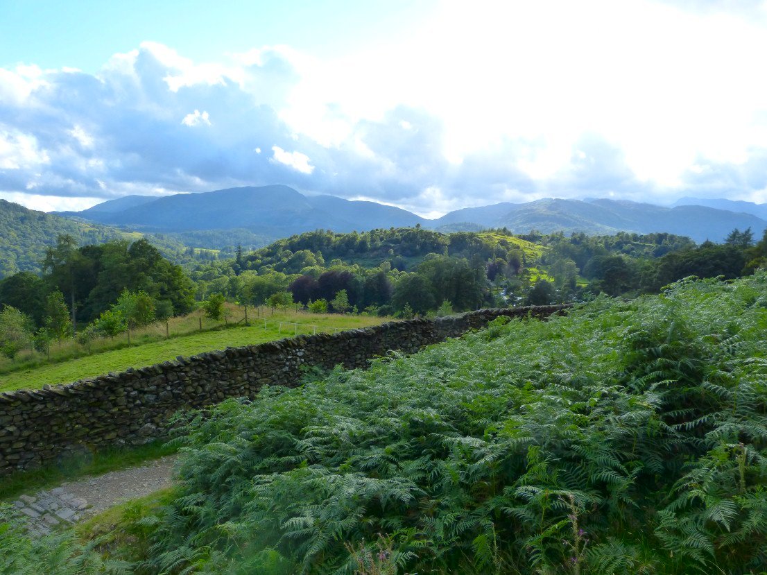
After tea we had a short but enjoyable stroll up to Loughrigg Fell. This is looking over to the Coniston fells the distinctive "dip" is Wrynose pass..
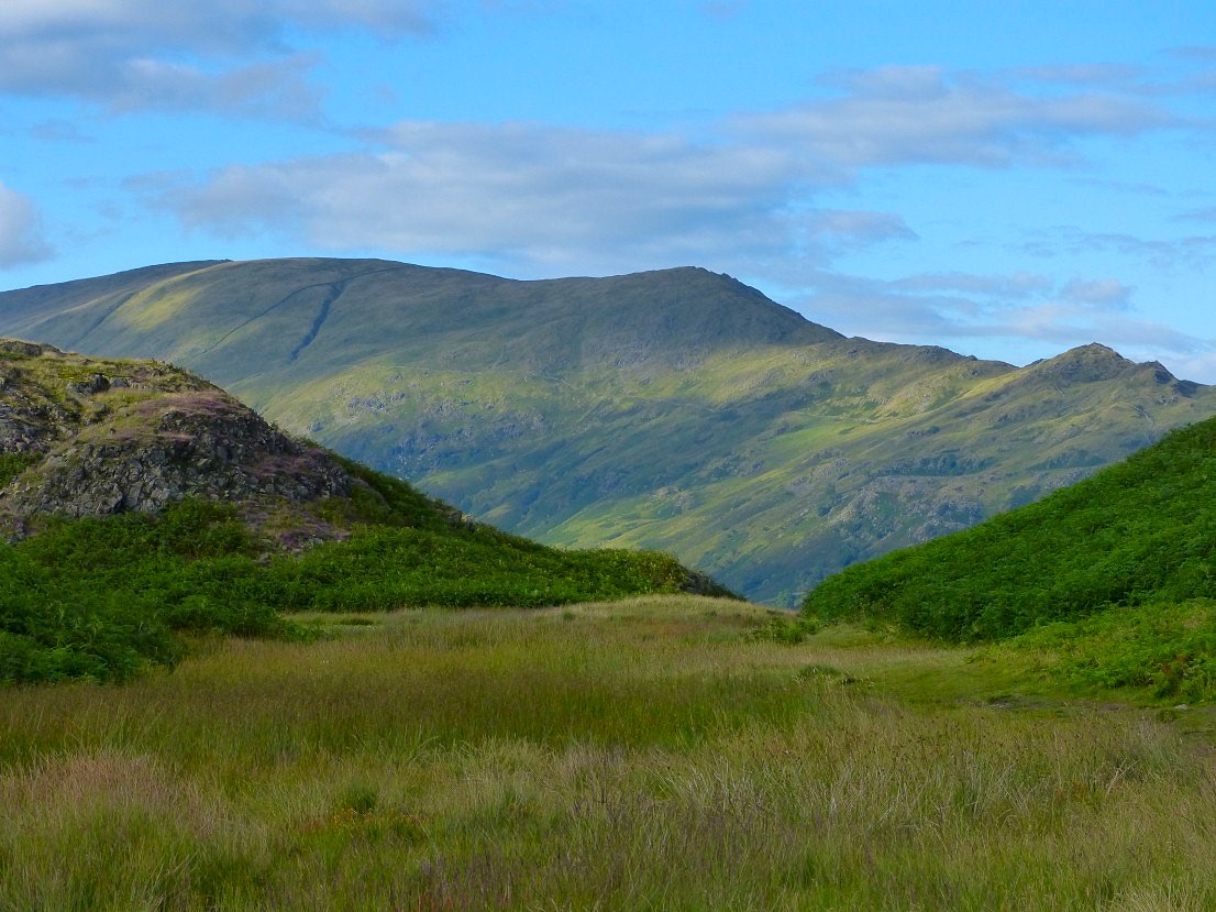
Really nice evening light on High and Low Pike
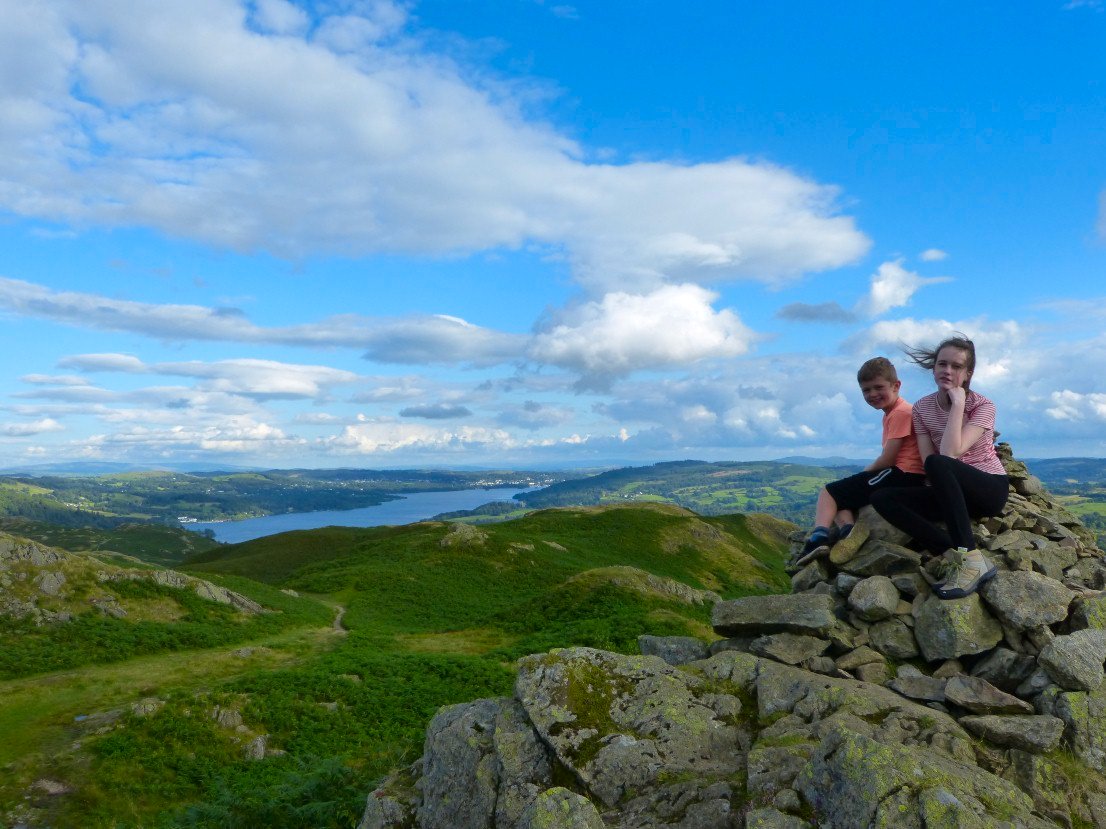
View south to Windermere from the cairn at 289 Mtrs.
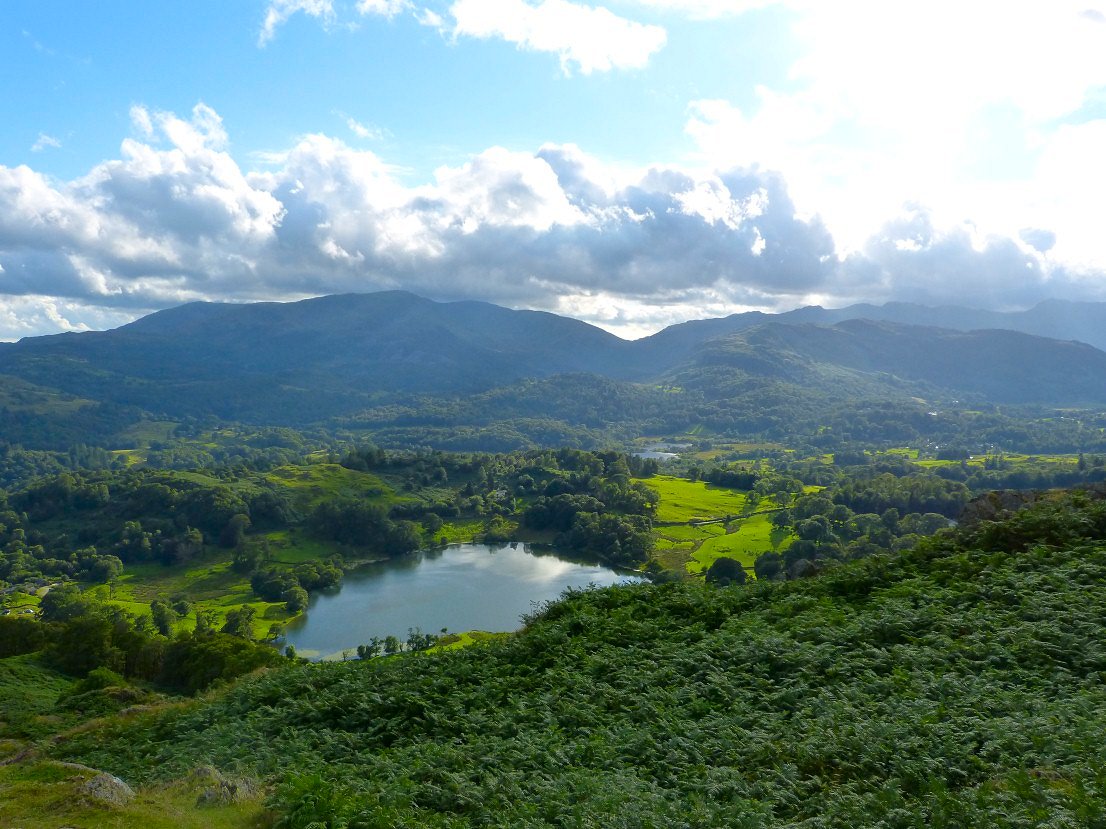
and the view to the west looking over Loughrigg tarn and Elter Water to the Coniston fells.
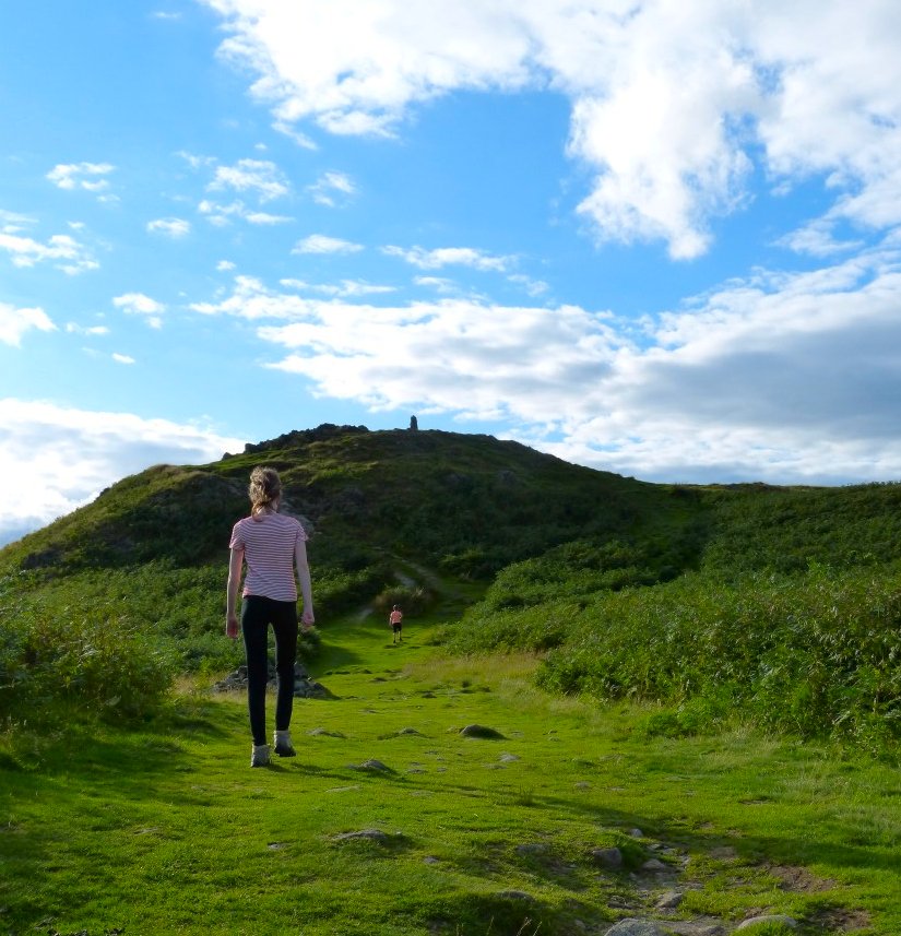
Soon the top is in sight.
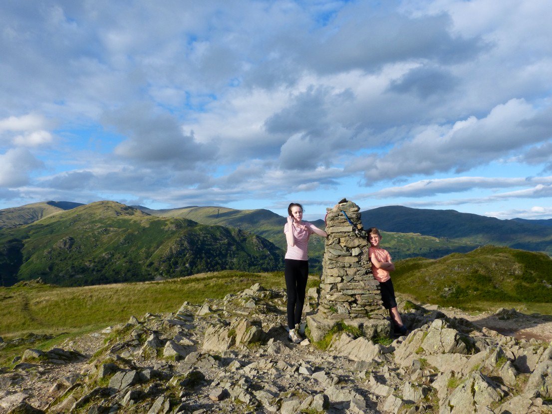
Emily and Harry at the top. Most of the Fairfield Horseshoe laid out behind..
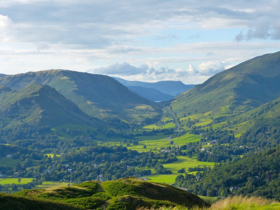
I love this view along the central fault all the way to Lonscale Fell.
Later in the evening we realised we were in for a treat as a really nice sunset developed. We sat on the little hill and watched the show unfurl.
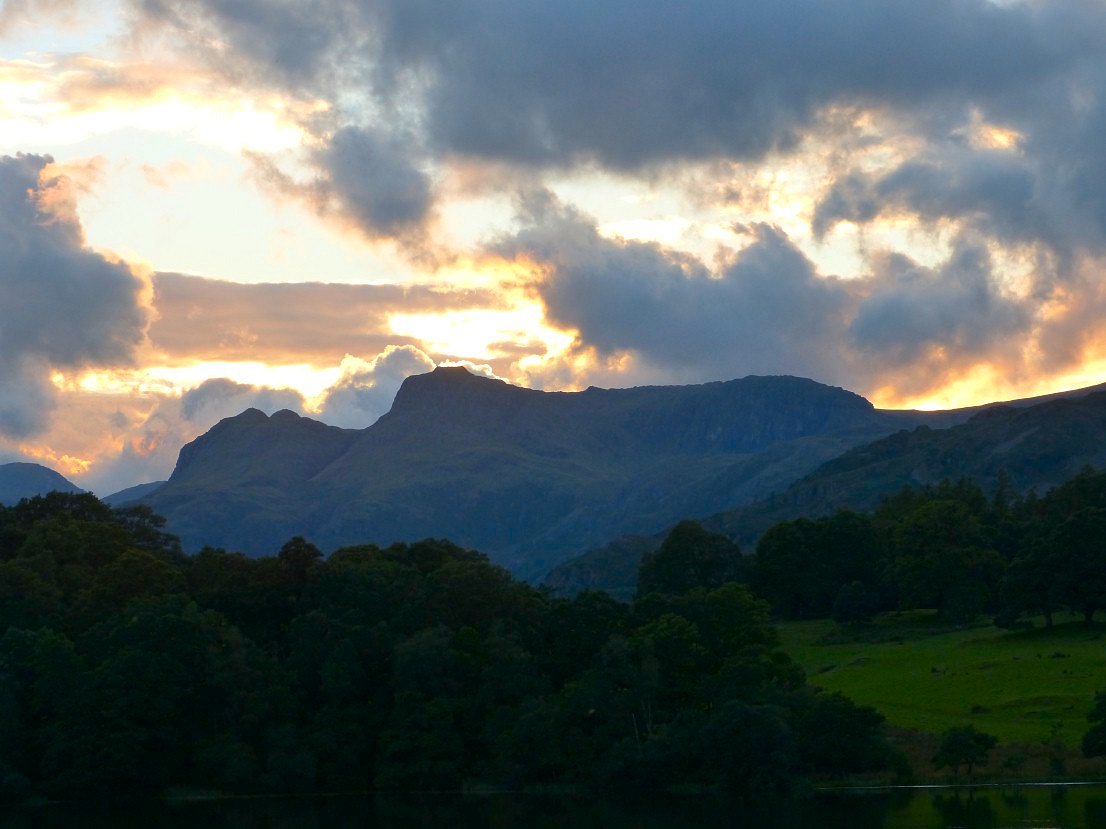
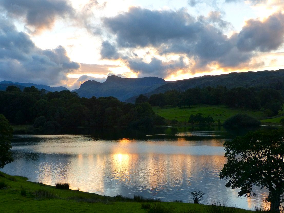
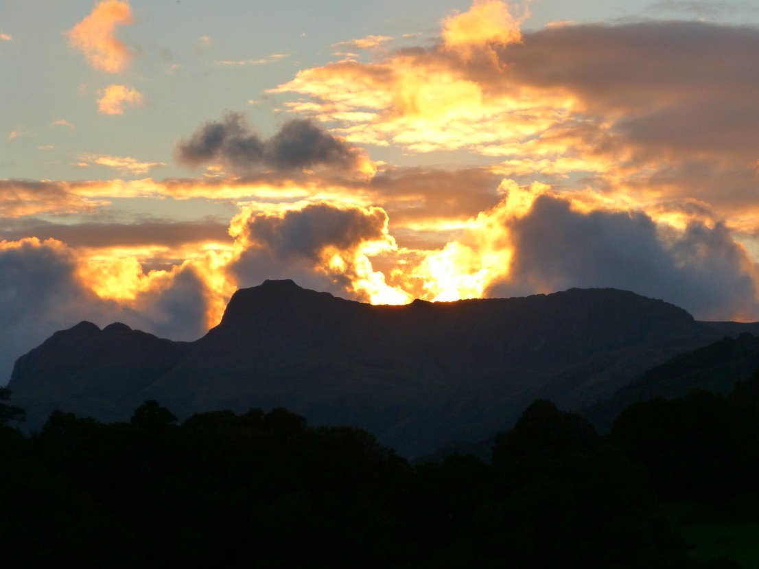
A lovely end to the day.
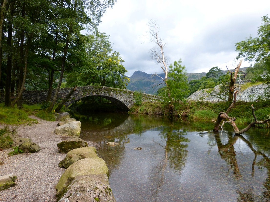
Sunday was a duller day and rain was forecast for the afternoon so we set out early to walk a route I have done many times. From Chapel Stile, over Lingmoor and back along the valley. The tree from which the rope swing used to hang has broken and fell into the water.
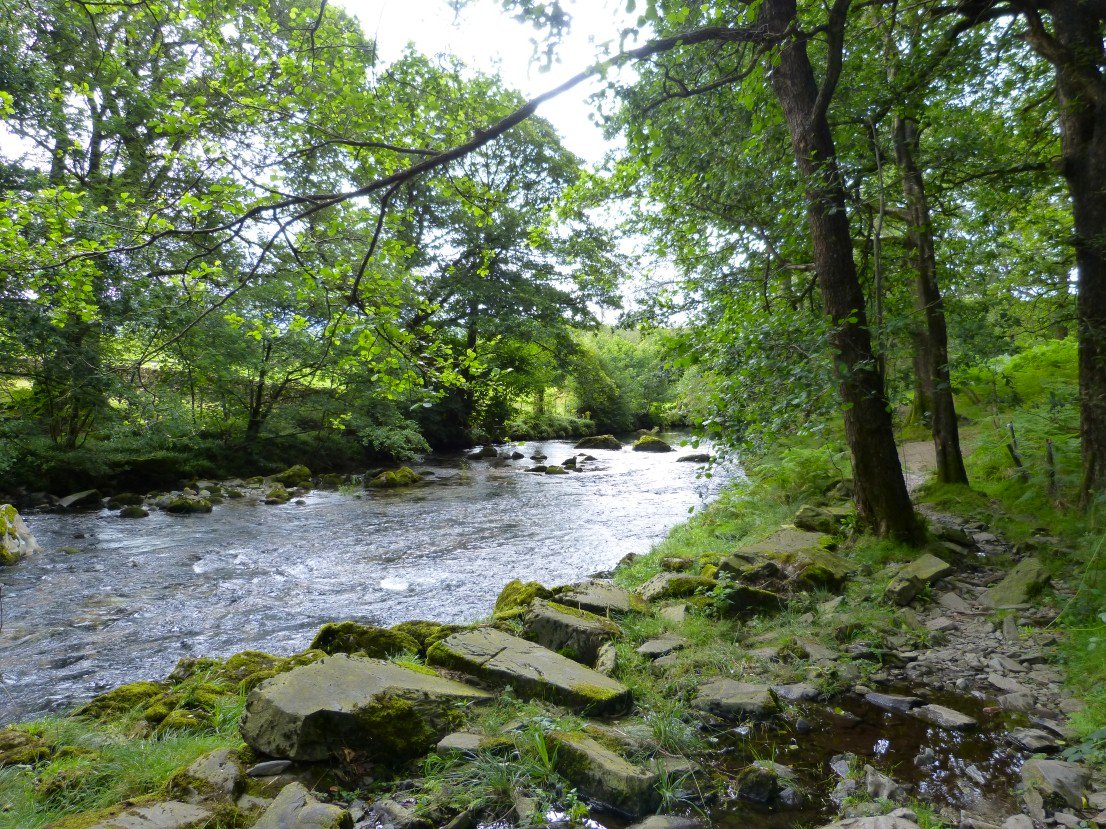
Looking down stream.
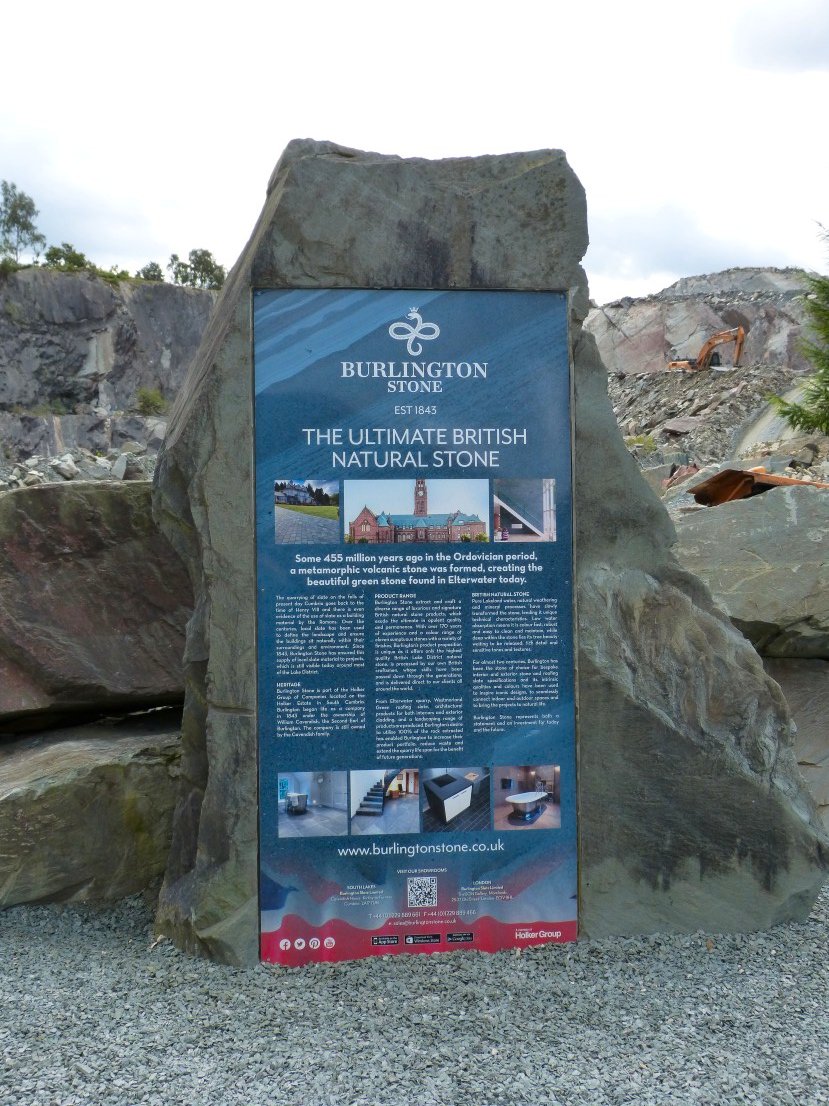
We climbed up through the quarry.
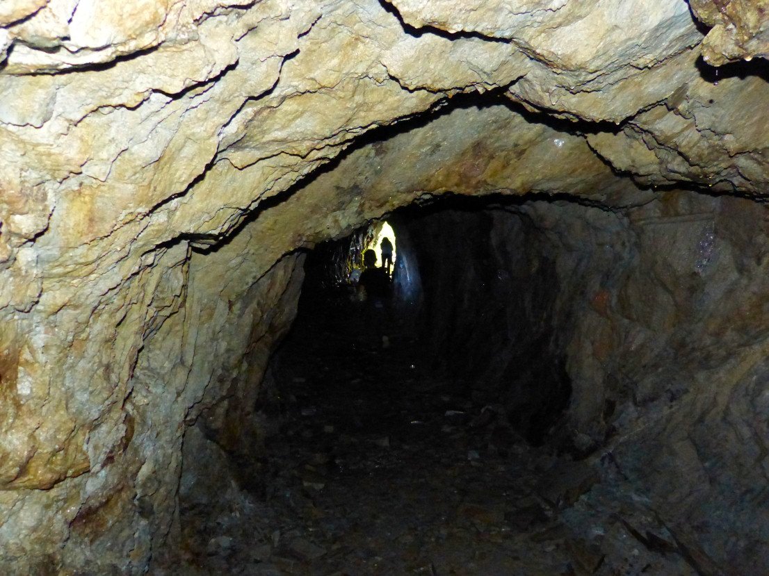
As usual we had an explore in the level just off the path
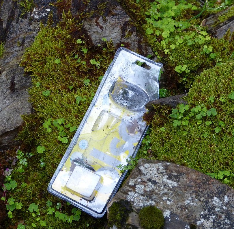
" I Know where there is a really cool cave" "Fab, lets buy a headtorch and have look in" Take the headtorch out of the packet, throw packet by cave entrance. Muppets..( Sorry for the rant but I really hate litter )
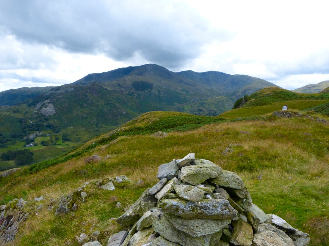
Next stop the cairn at 343 Mtrs for a great view of Betsy Crag quarry, Wetherlam, Swirl how and the Carrs..
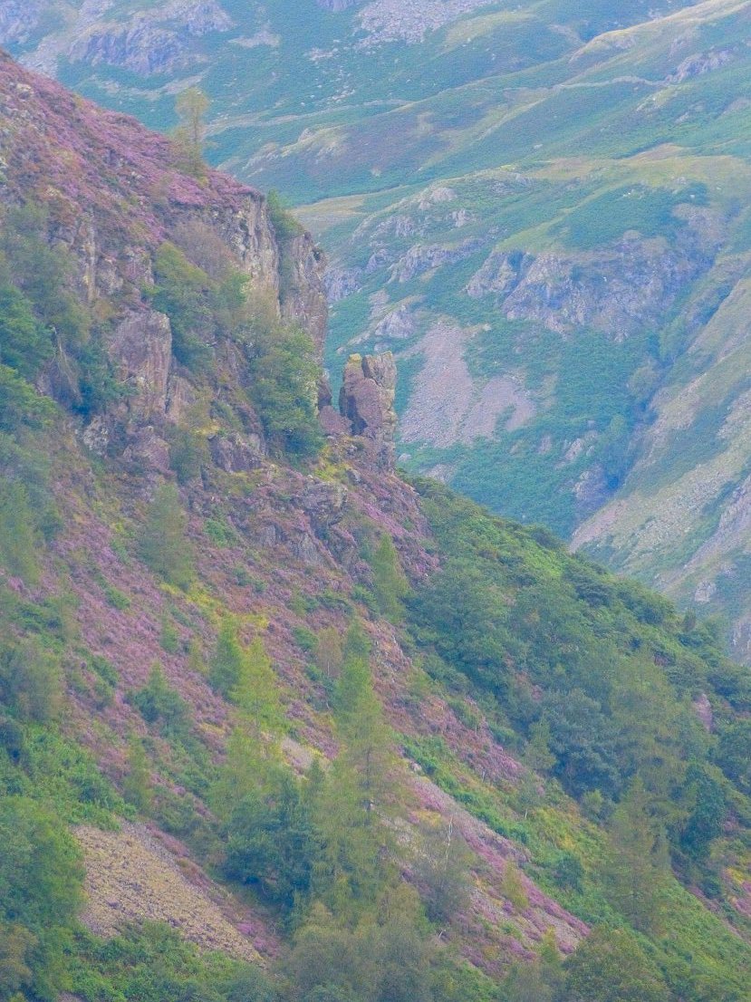
Oak Howe Needle.
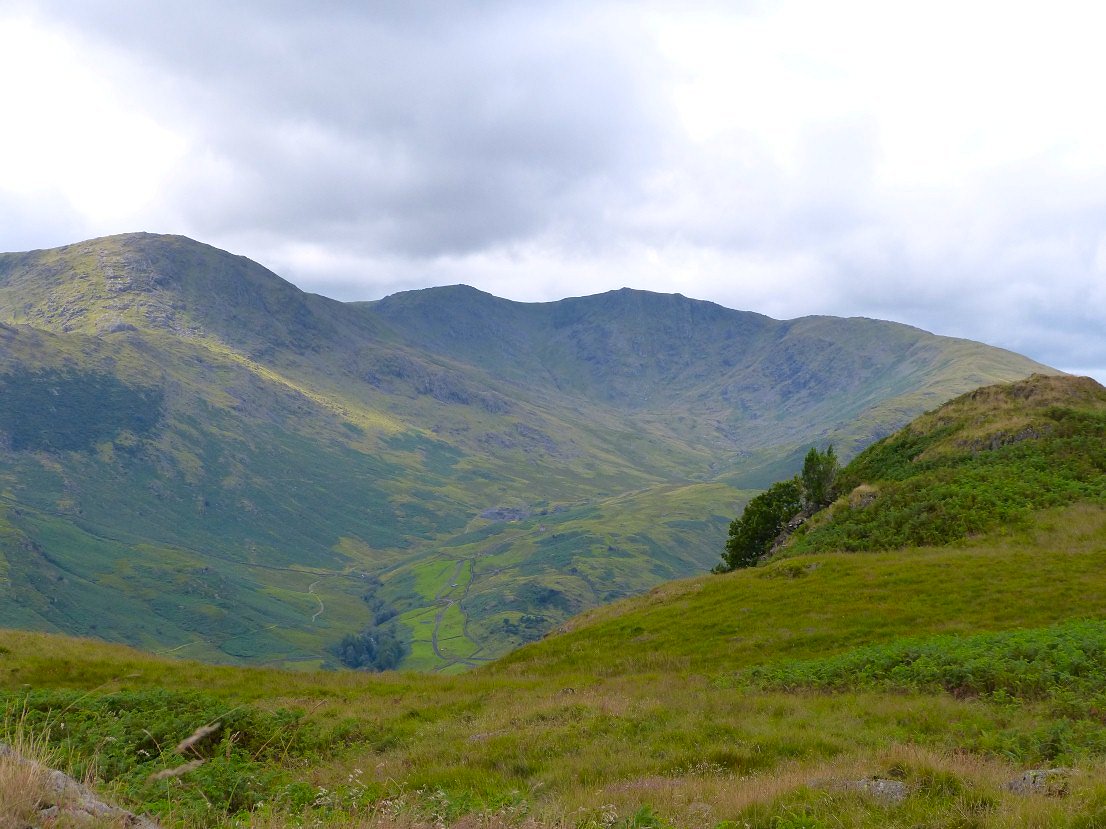
Closer view of Greenburn with Wetherlam Edge on the left then The Prison, Swirl How and The Carrs. The ridge on the right is Wet Side Edge where I came down a couple of weeks ago
.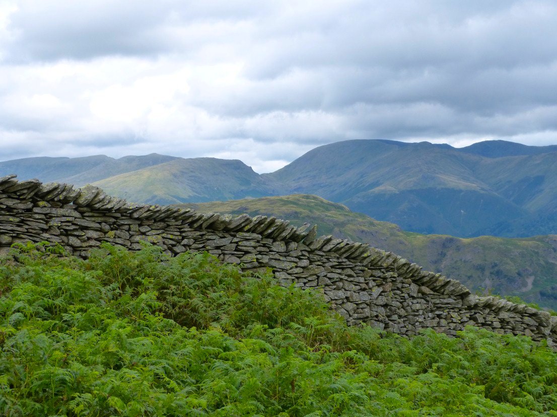
Over the wall to the east is the Helvellyn group then Seat Sandal, Grisedale Hause, Fairfield and Hart Crag.
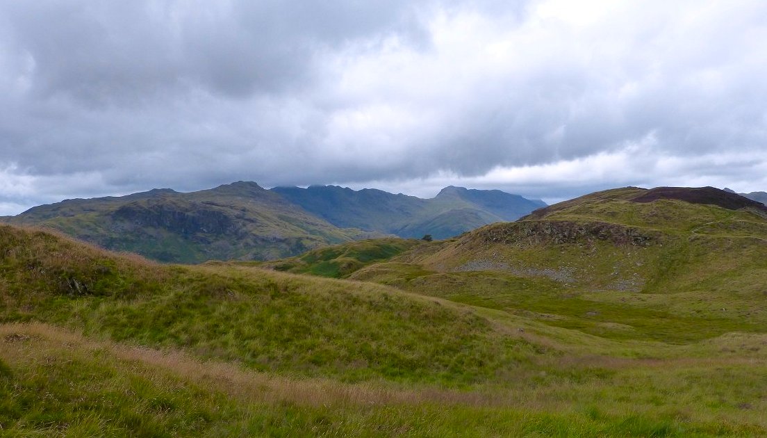
Heading along Lingmoor. The clouds are gathering over the Crinkles.
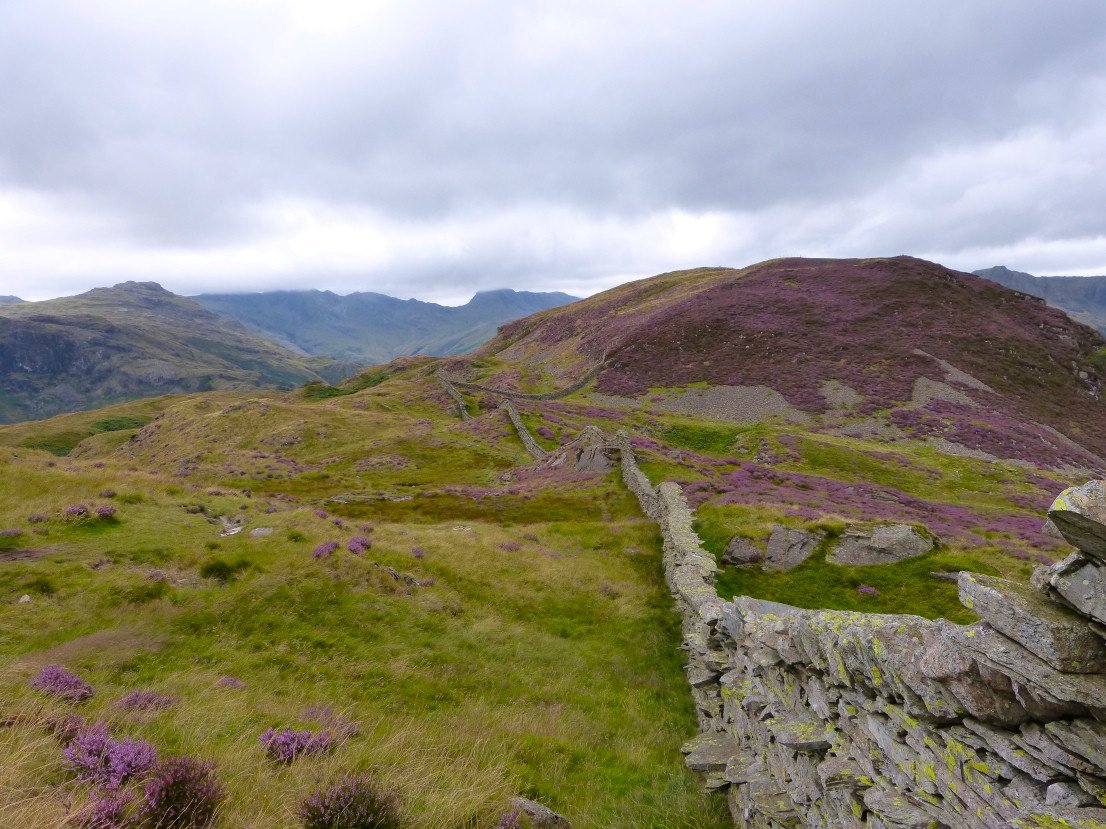
Even on a dullish day the heather was stunning. Navigation is easy on Lingmoor just follow the wall all the way to the top which has the separate name of Brown How...
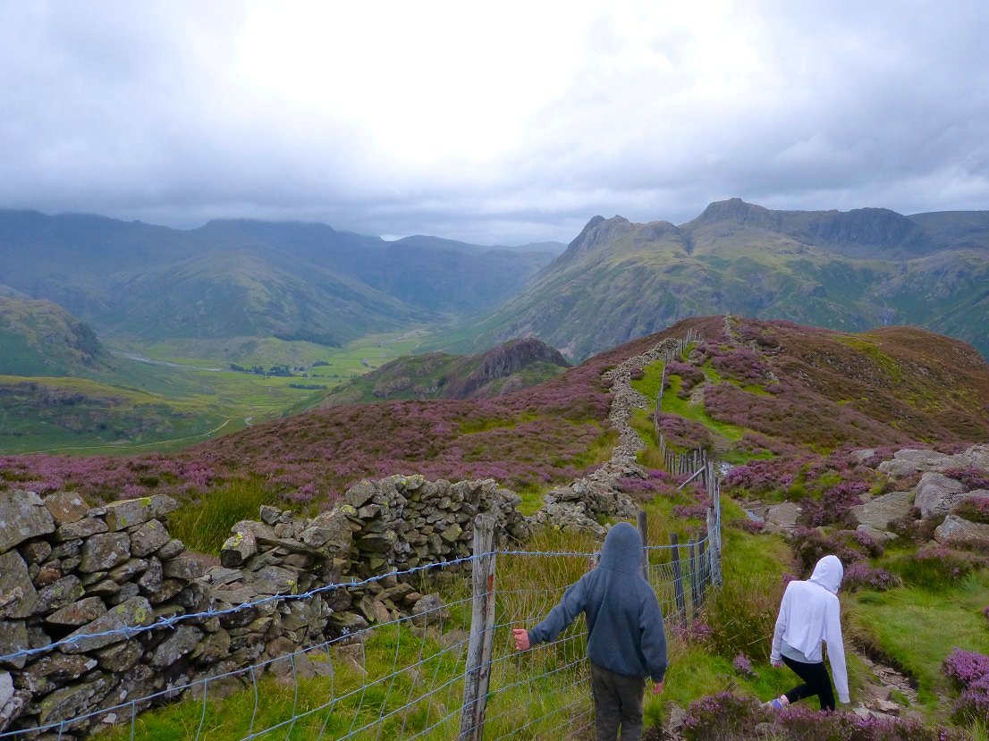
Lingmoor is famed for it's views of the Langdale Pikes and Bowfell. Bowfell has now succumbed to the cloud and it was quite cold in the wind so we didn't dilly dally on the descent..
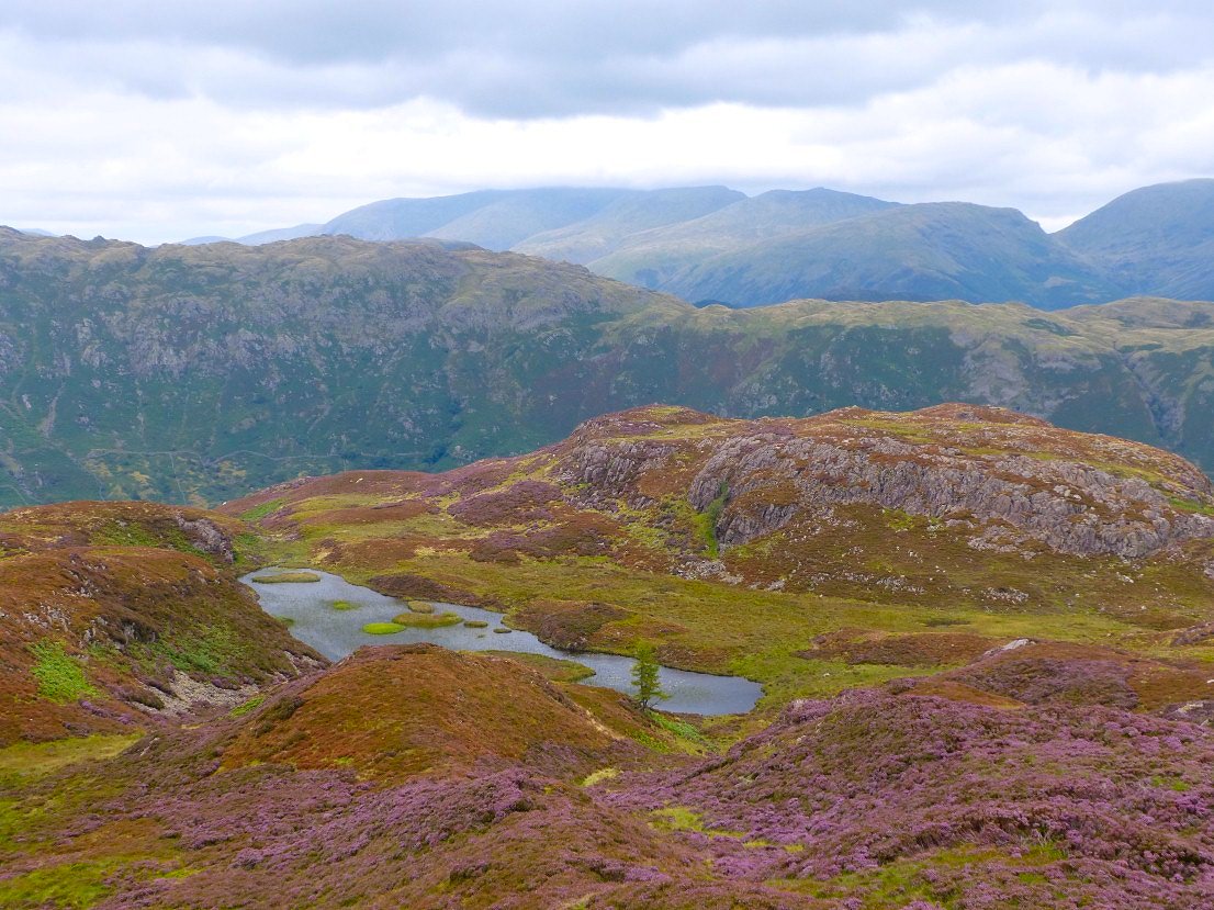
Just as I took this picture of Lingmoor tarn, the Blea Rigg ridge and Helvellyn the forecast rain came and it was freezing so it was camera away and head for the valley..