WWW.KARLSWALKS.CO.UK
PICTURES AND TRIP REPORTS FROM MY WALKS IN THE ENGLISH LAKE DISTRICT
|
|
|
|
|
|
Sue and I were invited over to Yorkshire today for a walk around the Malham Area.

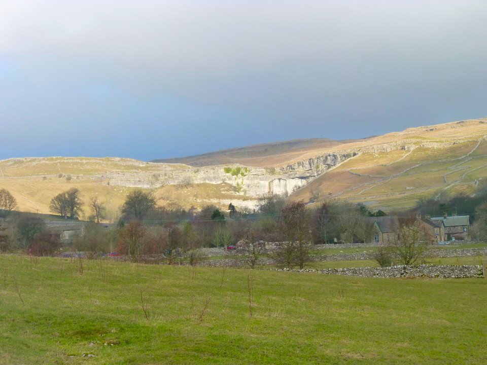
Malham Cove seen behind the village.
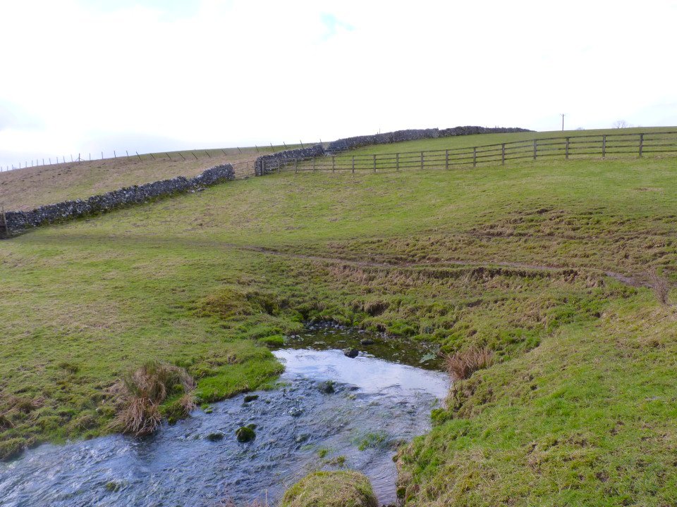
Before we set of for the hills we went to look at the Source of the river Aire which bubbles up from underground. The water actually travels from Water Sinks near Malham Cove which we were to visit later.
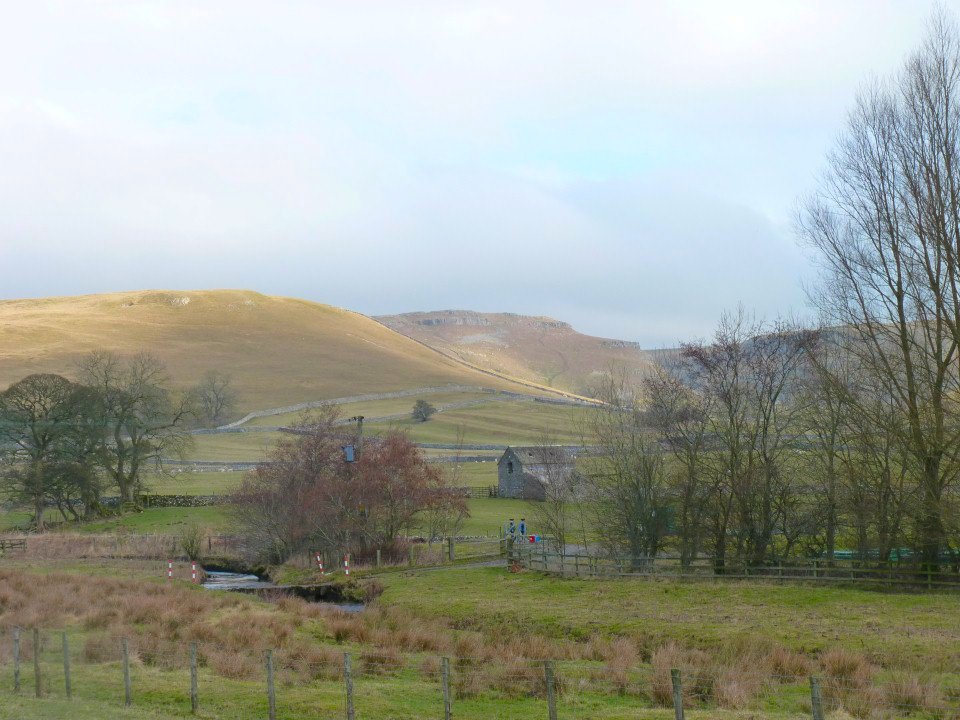
Looking across to the rugged outline of New Close Knotts with the path that we would use later visible.
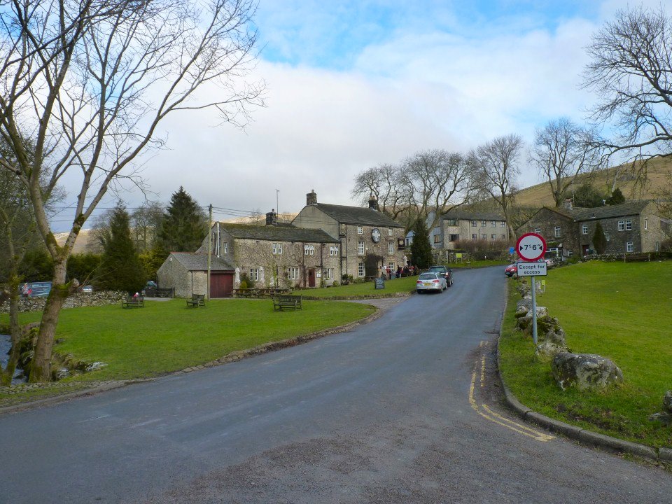
Malham is your archetypical Yorkshire village.
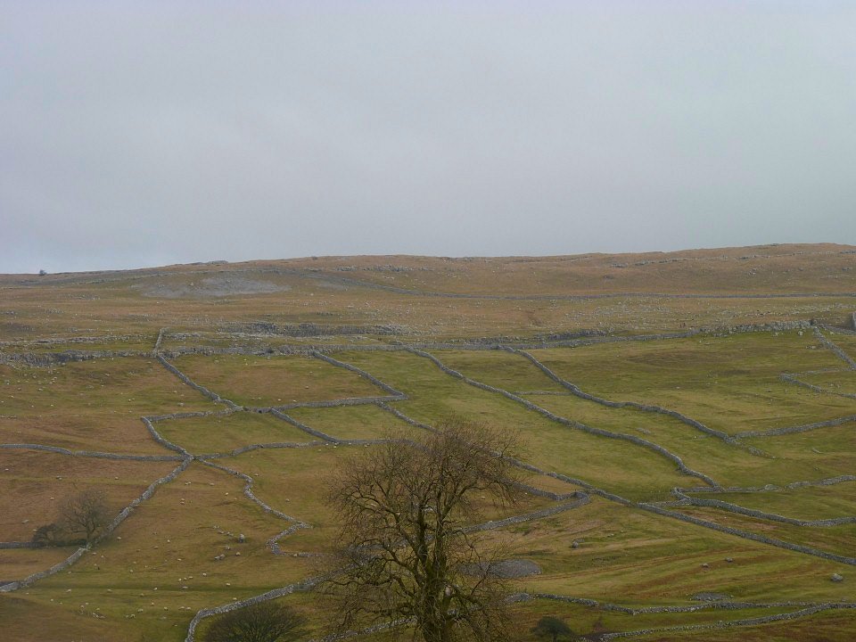
Field boundaries on the way to Kirkby Fell.
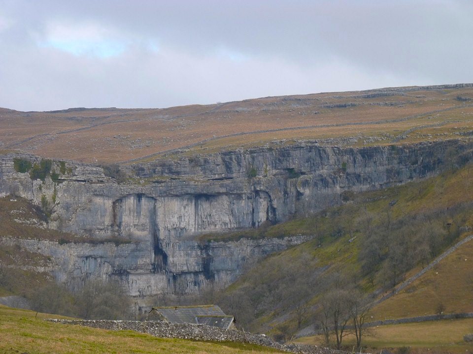
Malham Cove seen from a bit closer.
Looking up to Kirkby Fell.
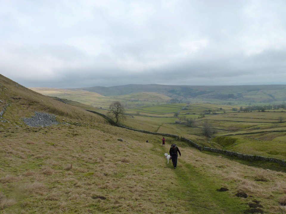
And looking back.
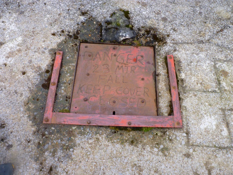
We found the shaft marked on the map.
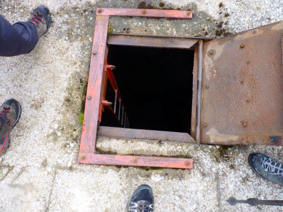
Suprisingly there was a ladder
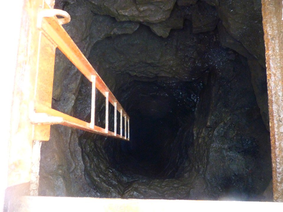
But it only went down about 6 feet.
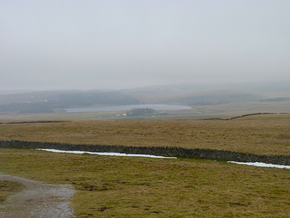
Malham Tarn from near Nappa Cross which is the highest point on an old road over the moors.
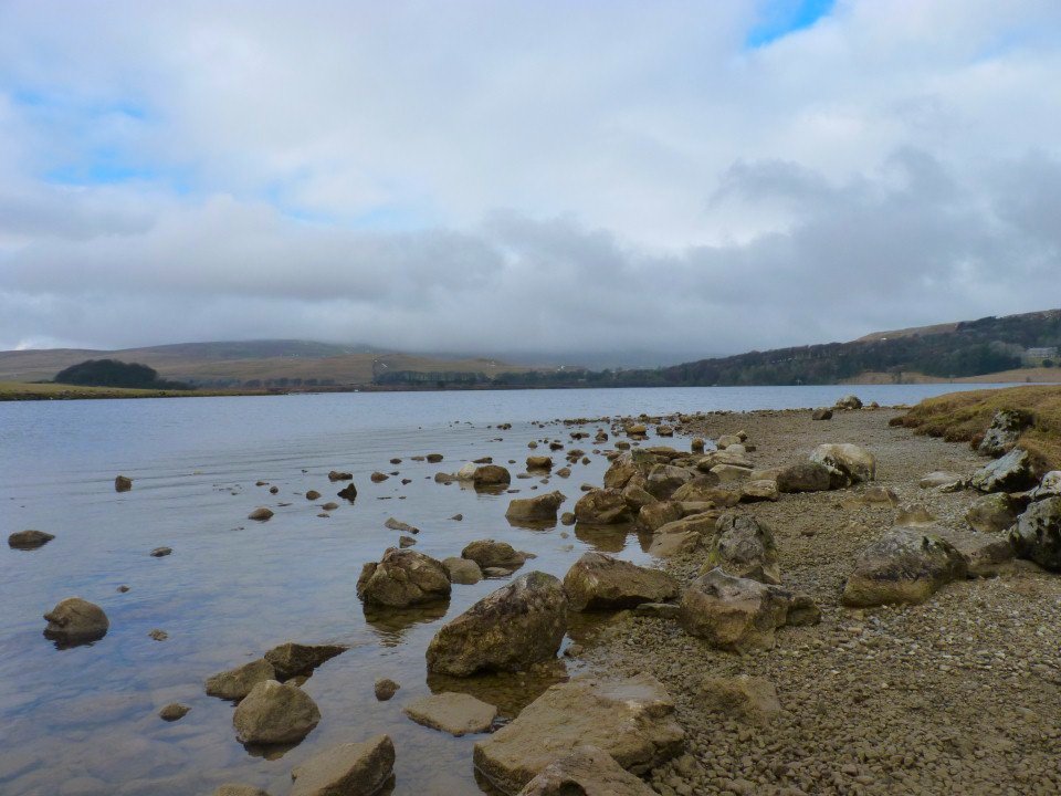
Malham Tarn.
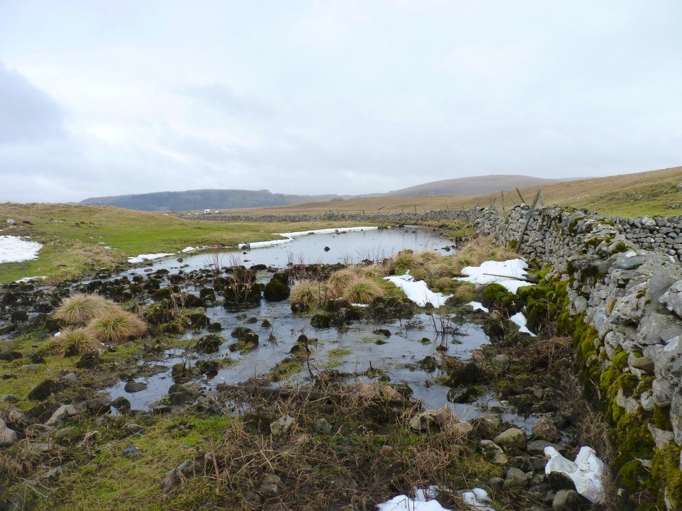
This is Water Sinks which as the name suggests is where the water flowing out of the tarn just disappears to return to light again at Aire Head.
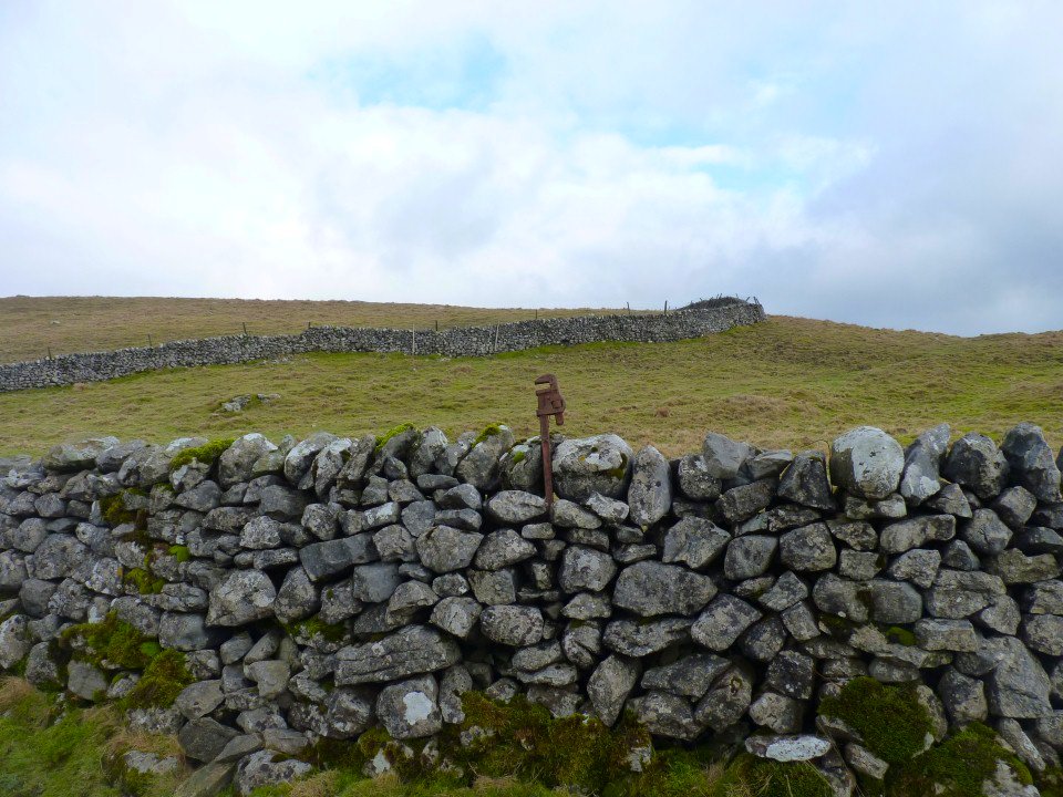
No, I don't know why there is a spanner in the wall either.
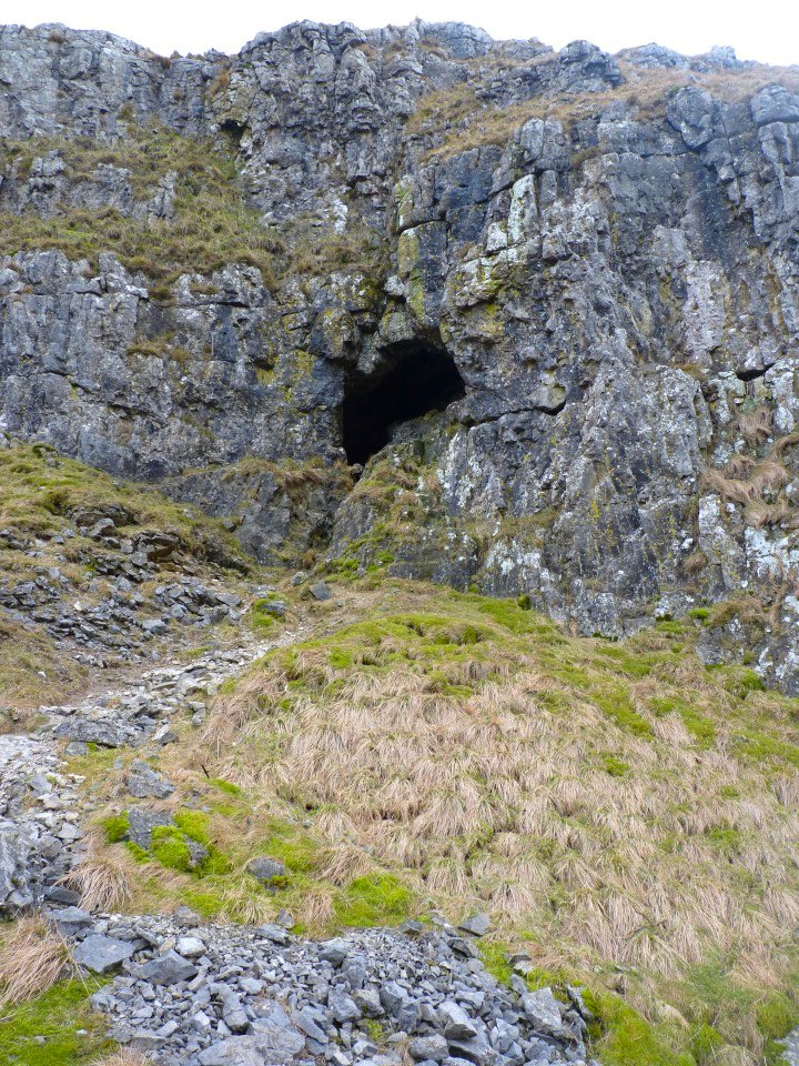
Small cave seen from the drop down towards Malham Cove.
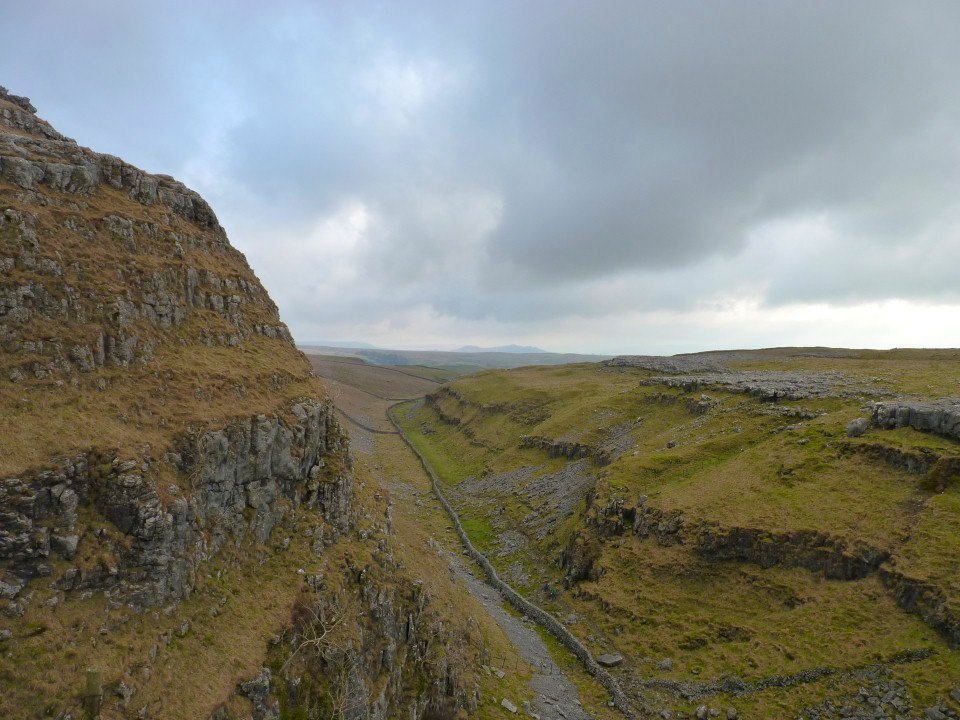
The impressive trench of Ing Scar.
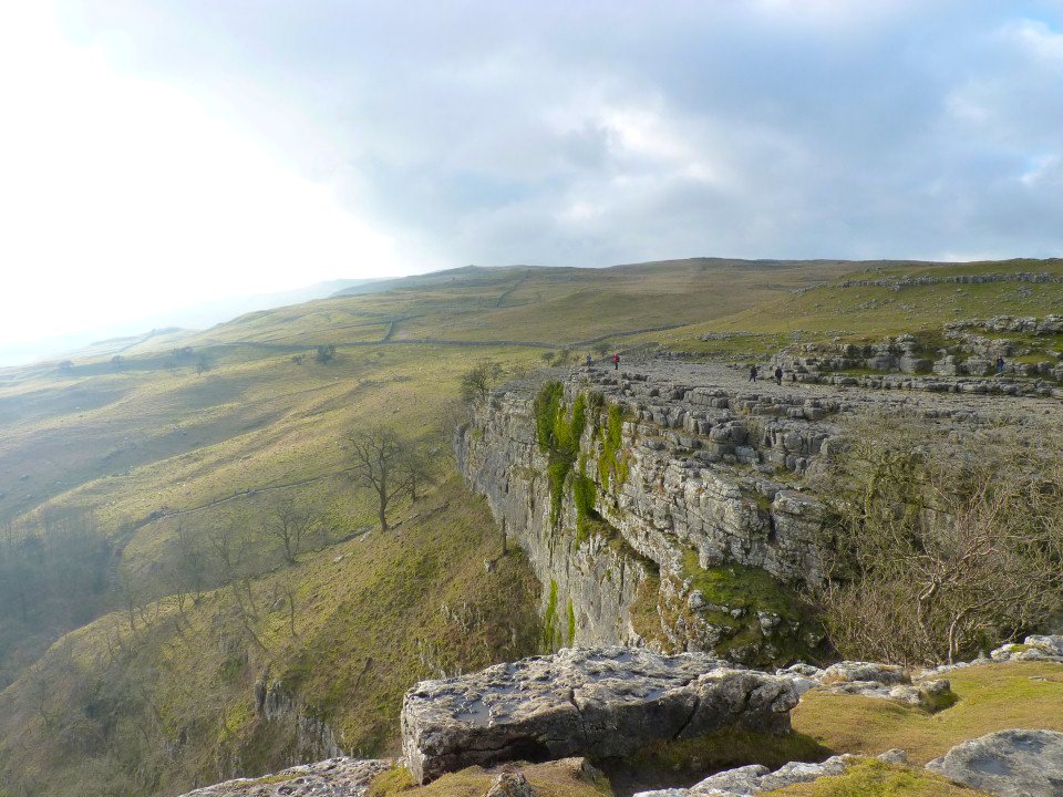
The top of Malham Cove.
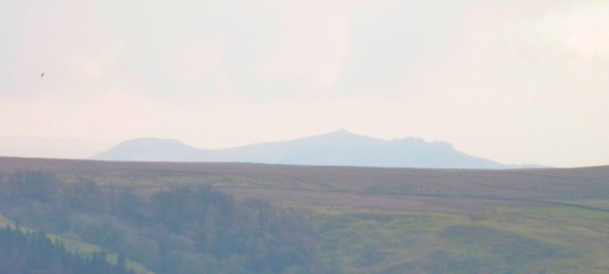
Rough Haw on the left and Sharp Haw on the right which we climbed on our last visit to Yorkshire.
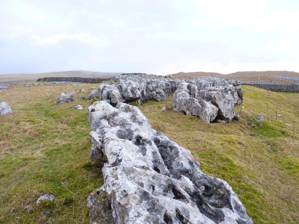
Limestone pavement.
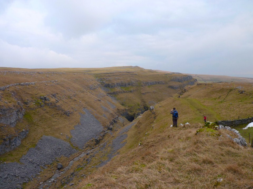
Heading for the top of Gordale Scar.
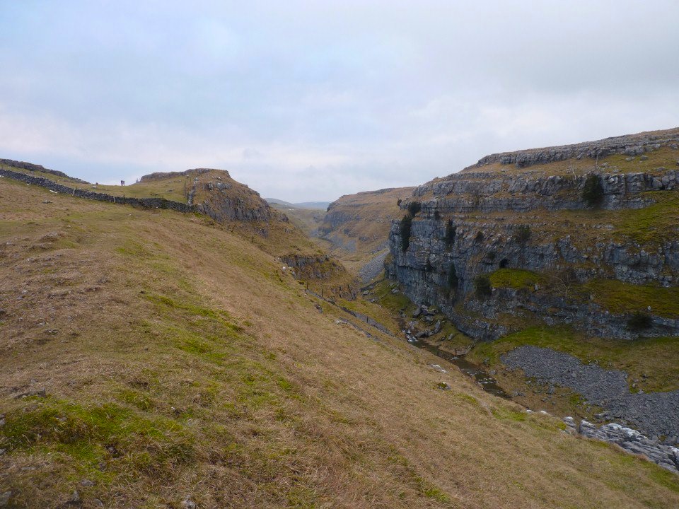
The easily eroded limestone make some very impressive gorges.
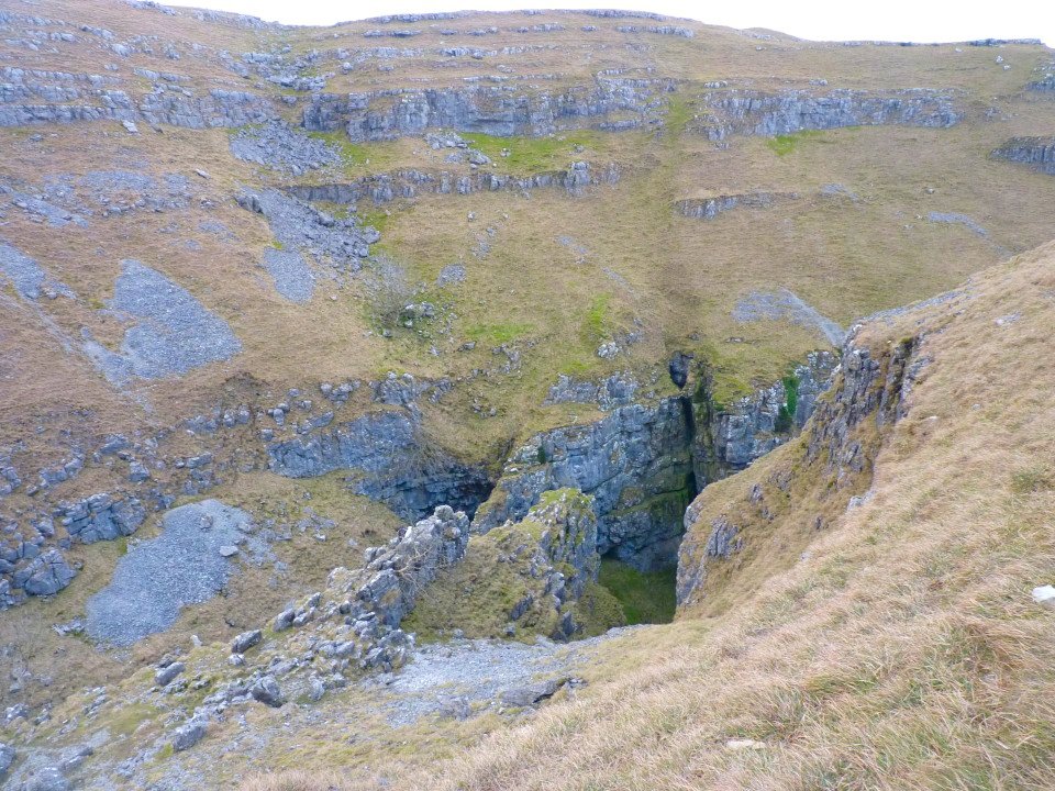
The very top of Gordale Scar.
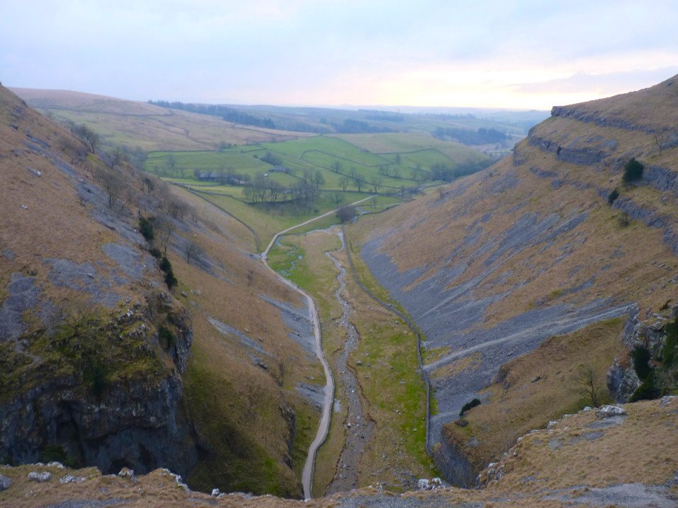
Looking down to the path leading to the Waterfall.
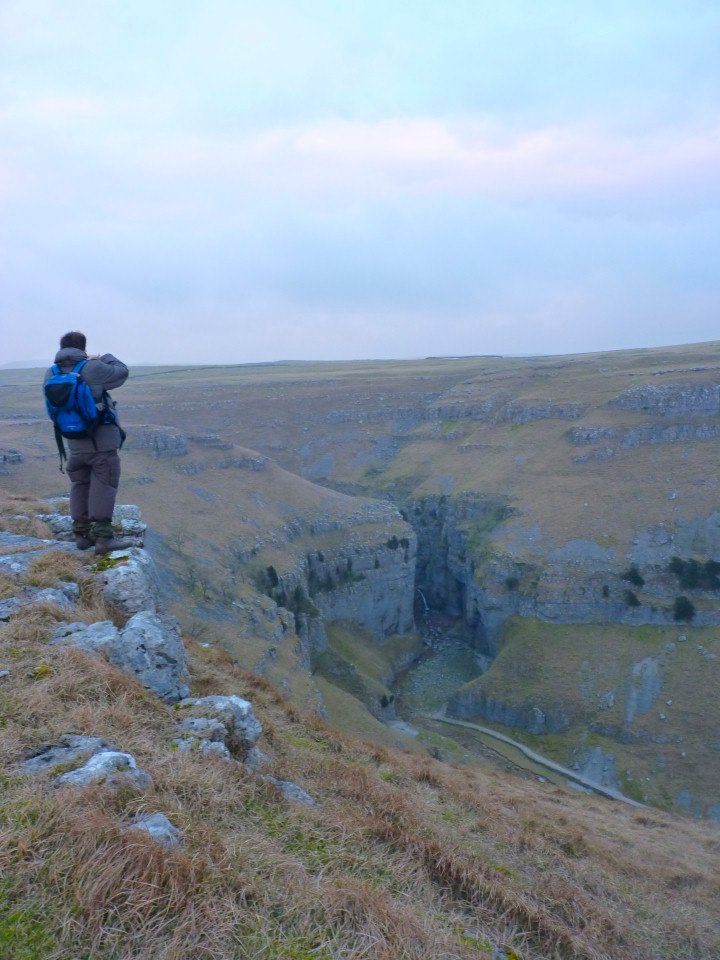
Our host and very knowledgeable guide Shane gets a photo of Gordale Scar
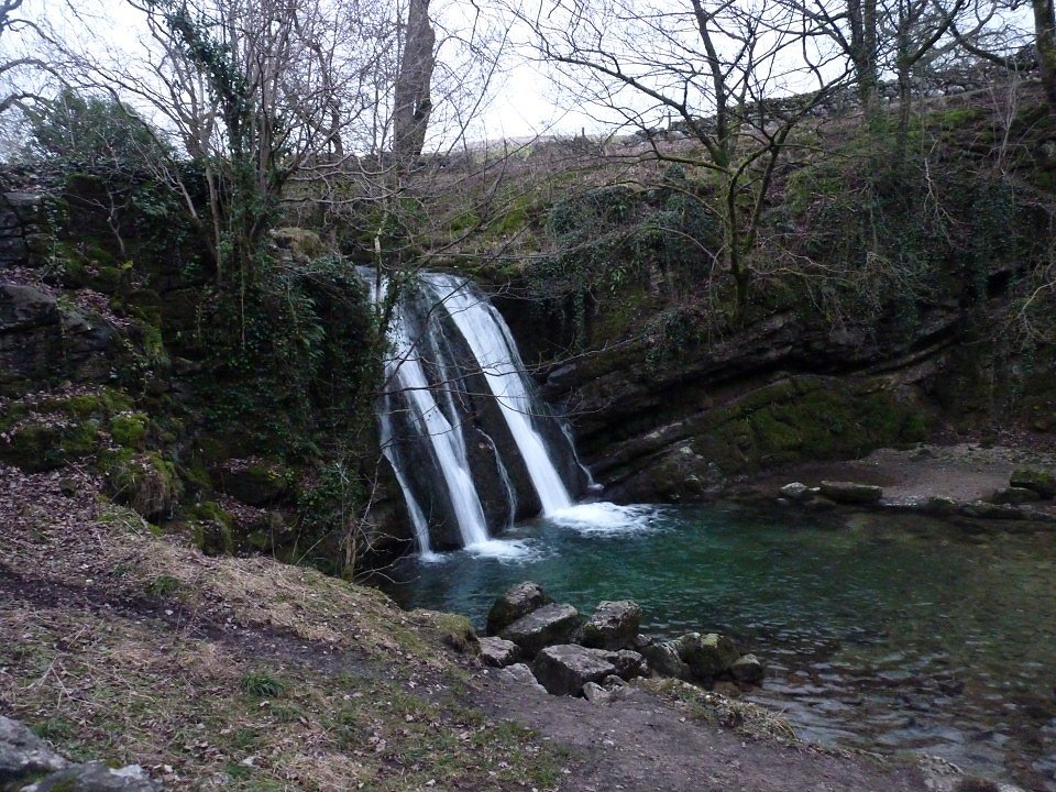
The waterfall of Janet's Foss. There is a little cave behind where Janet (or Jennet) the queen of the faries was supposed to live. The pool in front was used for the more practical pupose of dipping sheep