WWW.KARLSWALKS.CO.UK
PICTURES AND TRIP REPORTS FROM MY WALKS IN THE ENGLISH LAKE DISTRICT
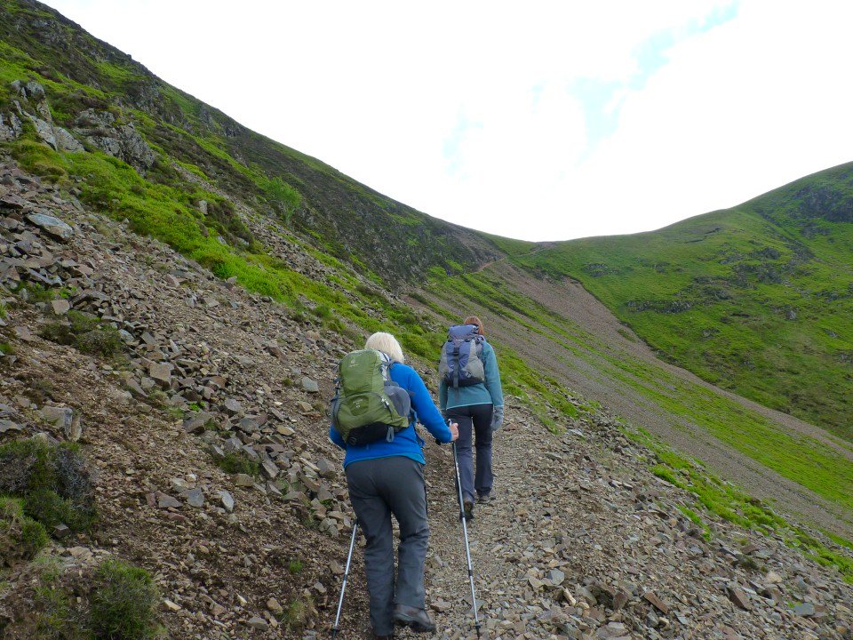
A ride up to lovely Haweswater for Anne, Sue and myself, on the way we picked up April and Beefy and the five of us set off up the superb Rough Crag ridge.
I like this route as you seem to gain height very quickly and after what seems like not that much effort the car park seems a long way down.
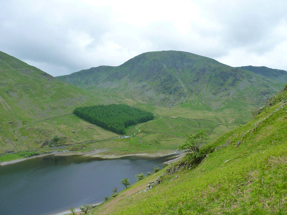
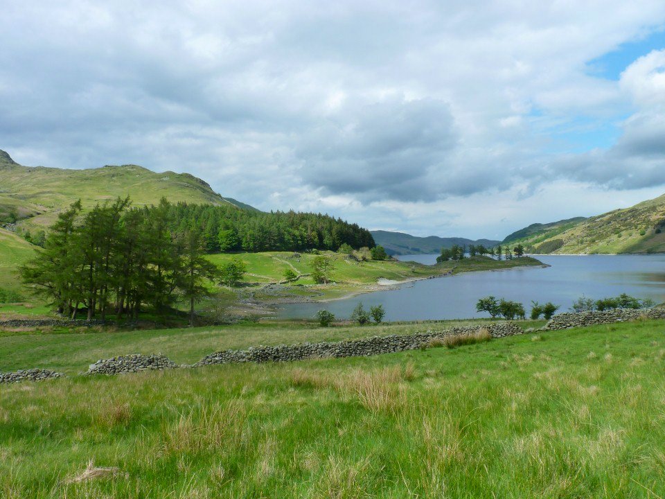
Haweswater soon reveals itself.
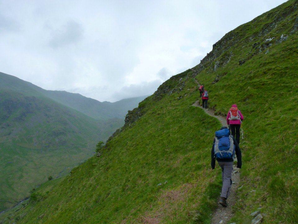
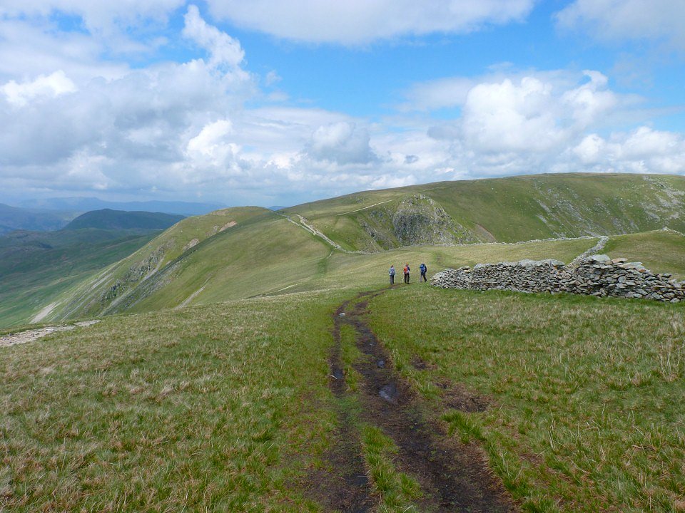
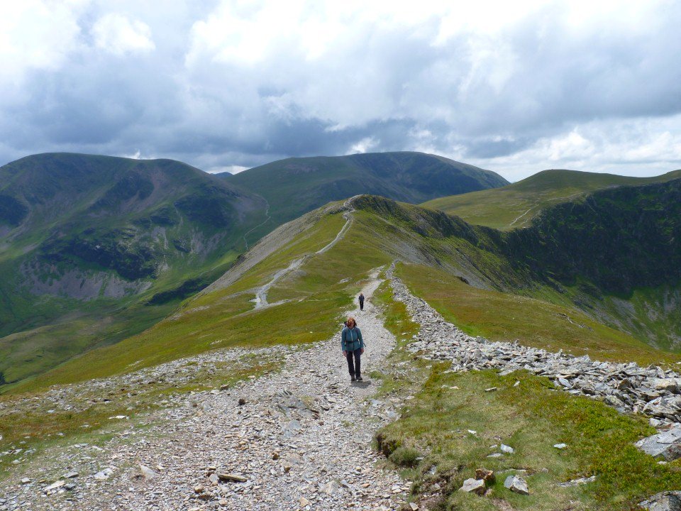
On we climb. The path winds its way around the crags and is a joy every step of the way.
Haweswater from higher up.
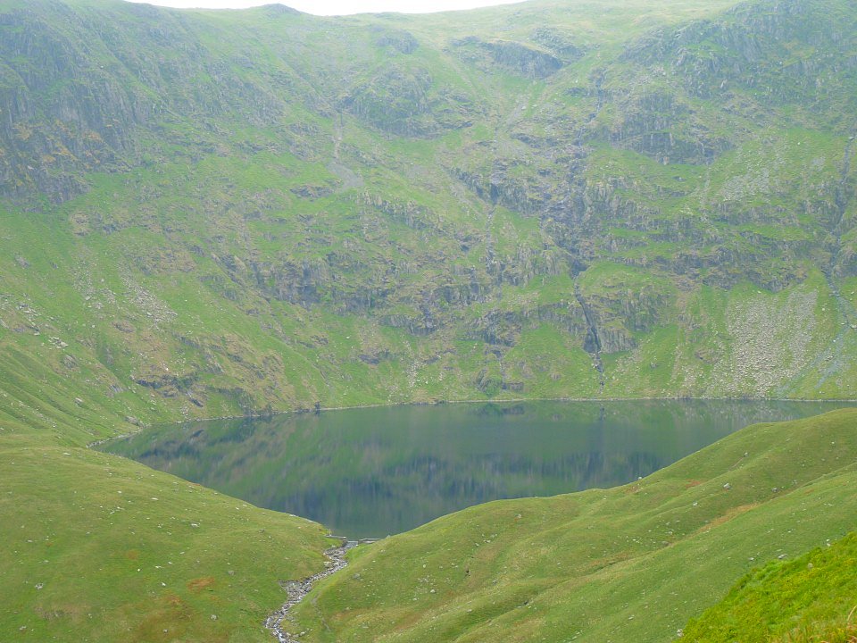
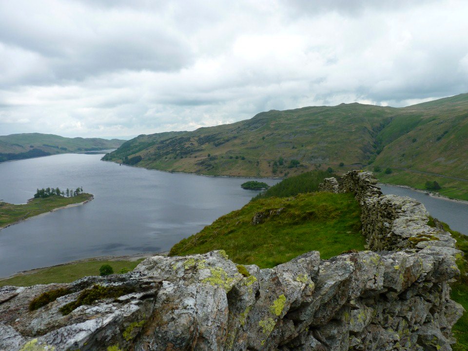
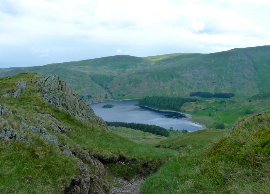
Blea Water perhaps the classic example of a corrie tarn
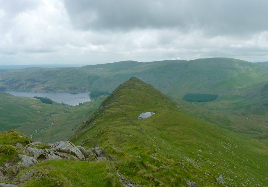
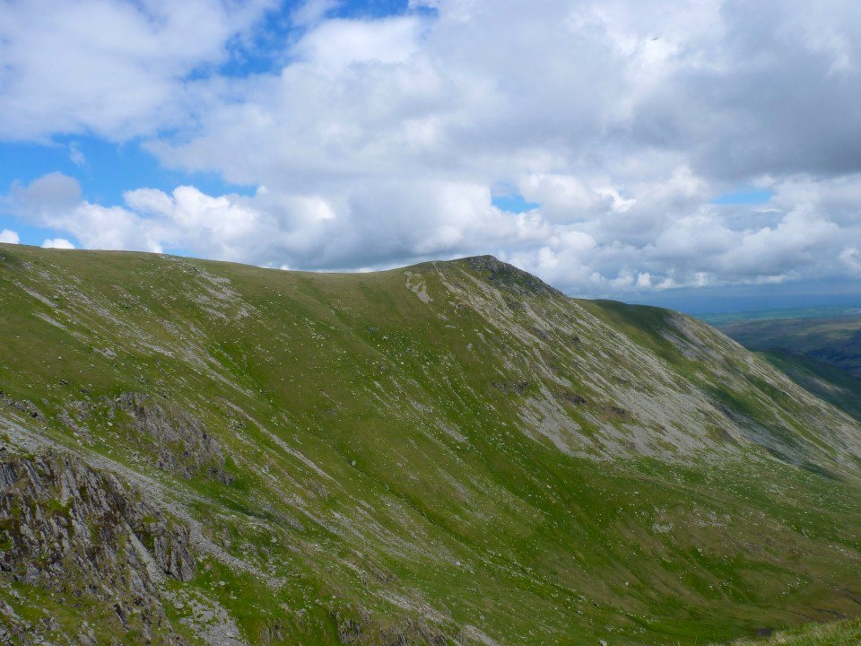
Looking back along the ridge and over Caspel Gate tarn from the climb to High Street.
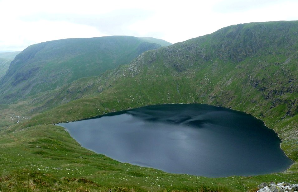
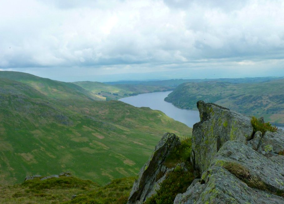
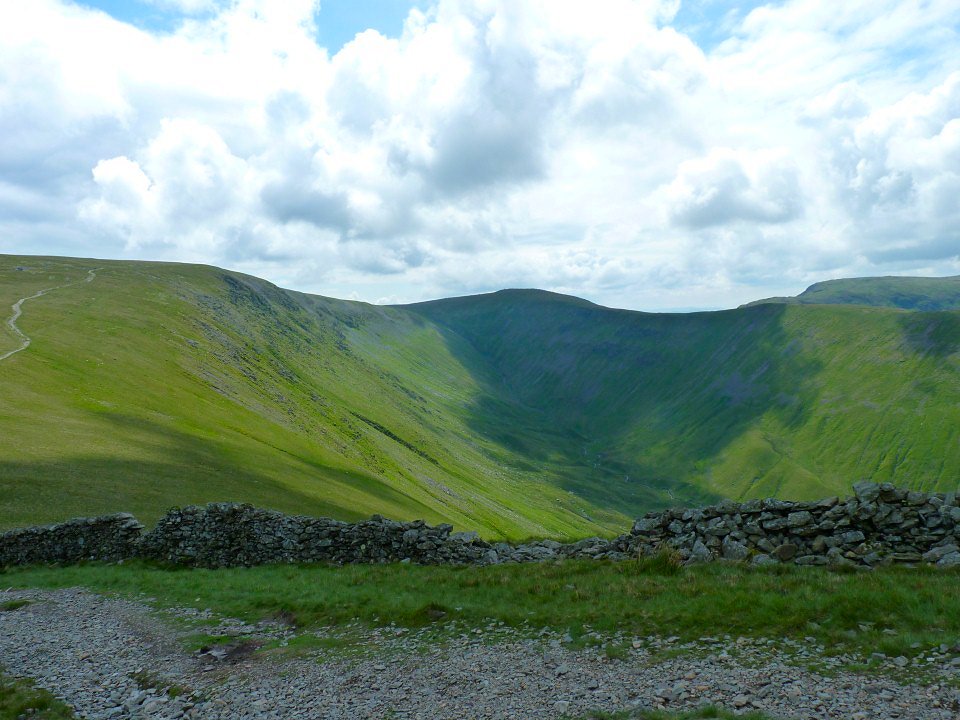
Blea Water from above this time.
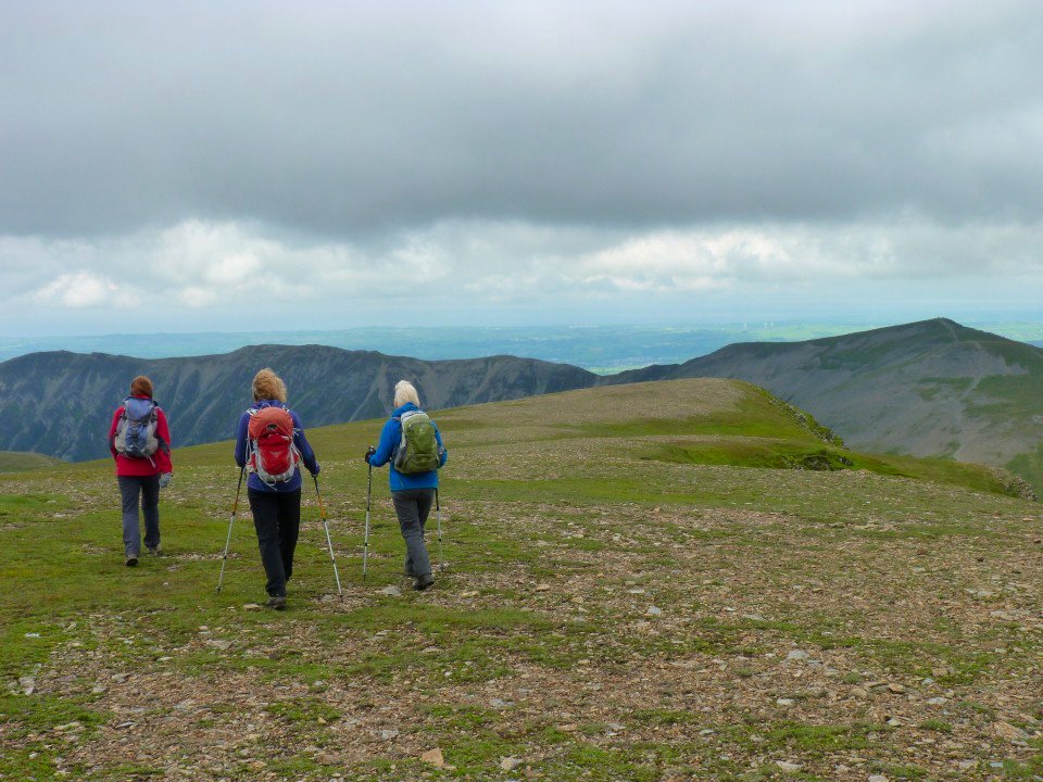
Heading along High Street.
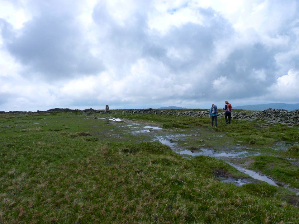
After visiting the trig point on High Street we turned in the other direction and headed down to the Straights of Riggindale.
Kidsty Pike.
The weather was better than expected as we were expecting more showers than sun but apart from about twenty minutes of light rain in the morning the day was lovely
Looking over to Thornthwaite Crag.

Riggindale from the climb to Kidsty Pike.
We diverted from the path to Kidsty to visit Rampsgill Head from where we got a lovely view over Rest Dodd and the Nab
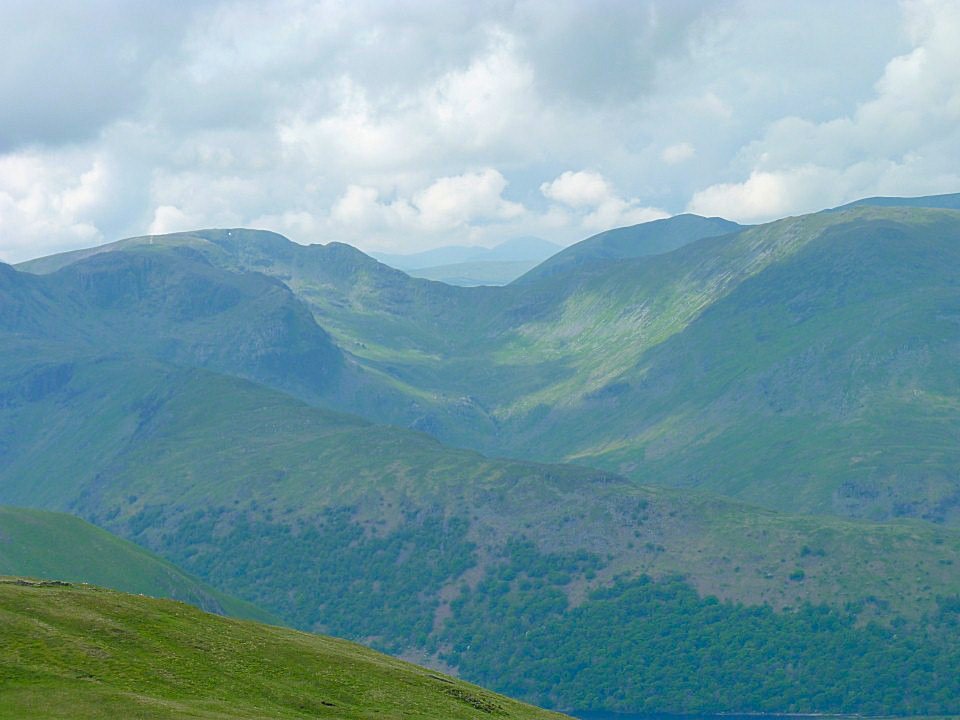
Super view in the other direction as well looking right past Fairfield to what I think are the Scafell group.
Selside on the horizon from the path dropping down Kidsty Howes.
We had a walk up to the hide and were very lucky that the the warden managed to spot the Golden Eagle and although I took some pictures of where I thought it was I couldn't capture a photo but I did see it through the telescope.
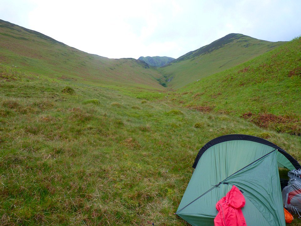
April and Beefy did really well to complete the walk as both were suffering from a stomach bug but it did mean that they had to abandon their plan to join me on a wild camp in Coledale. So they headed home whilst Sue drove me to Braithwaite from where I walked a short way out of the village and camped by Barrow Gill. That's the distinctive Causey Pike in the background
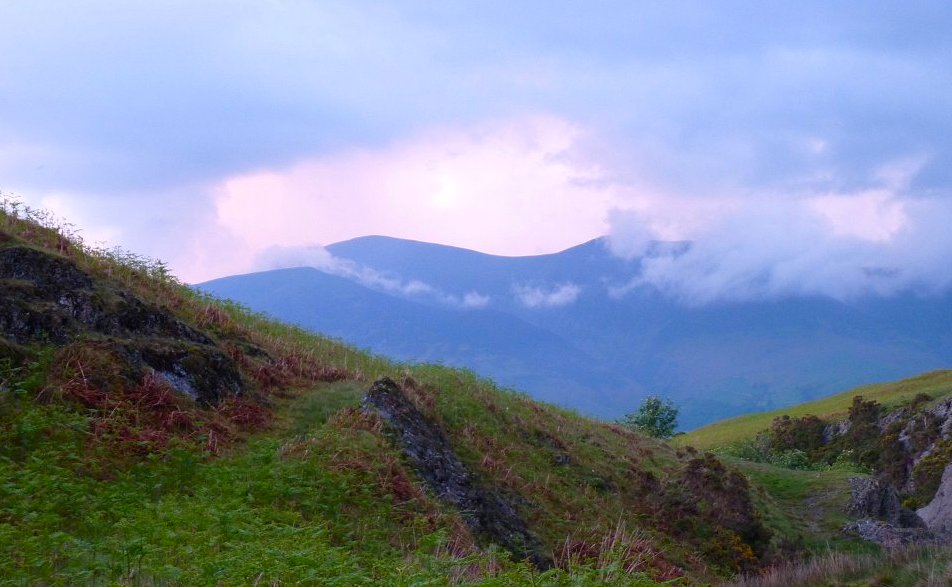
I spent most of the evening admiring the cloud swirling around Skiddaw.
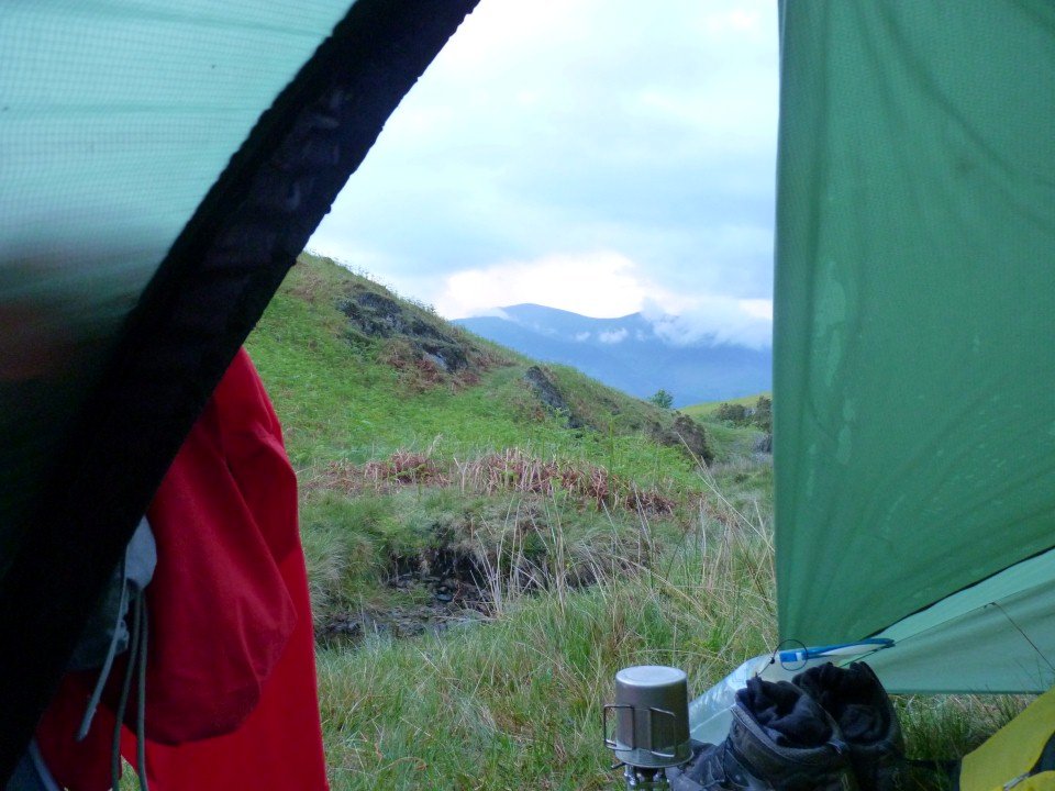
Room with a view!
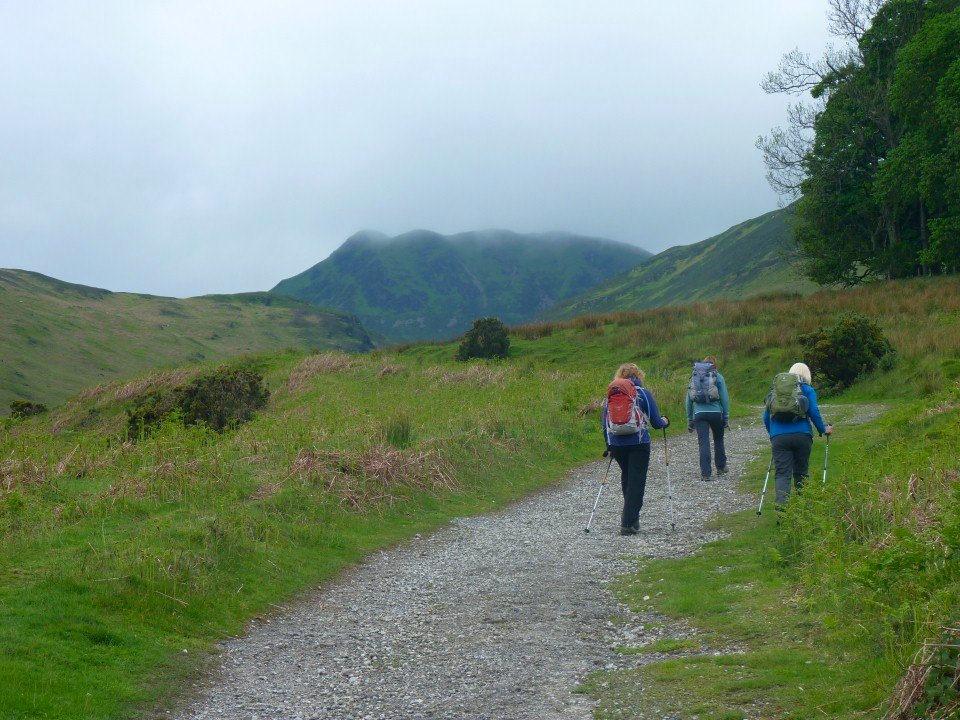
The following morning I packed up and walked back down to Braithwaite where I met Sue and Anne. Helen joined us as well, and after swapping heavy rucsac for a light rucsac we set off up the path to High Coledale.
The weather was a bit dull to start but it didn't rain. You can see the path we are taking curving around Outerside headed for Sail Col.

And this is looking back down the path with Barrow the prominent fell behind Sue and Helen
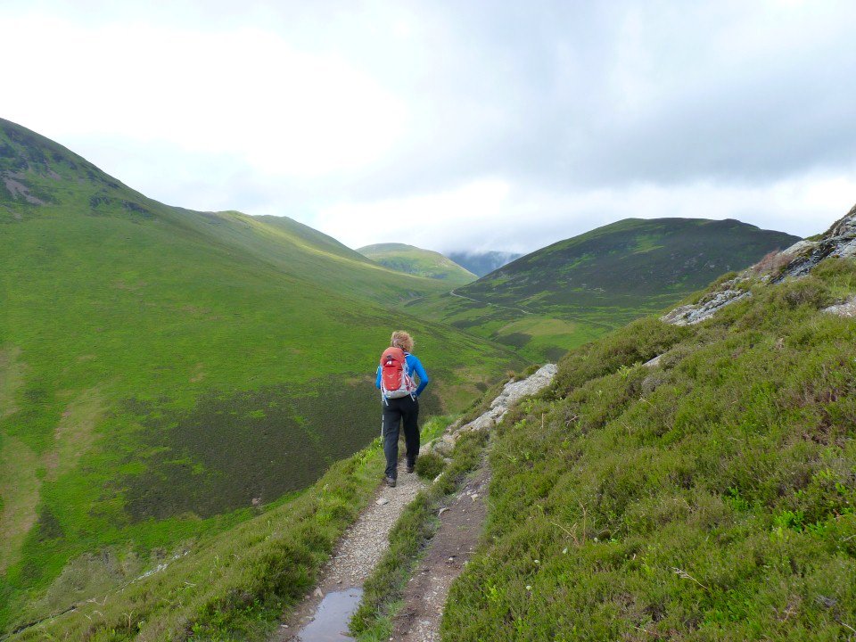
Climbing to Sail Col.
The view back down the controversial new zig-zag path to Sail.
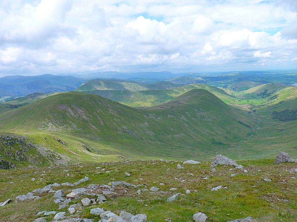
Looking down the Sail Beck valley. Knott Rigg on the left and the Wandope/Whiteless Pike ridge to the right
The cloud reaches to kiss the top of Whiteside.
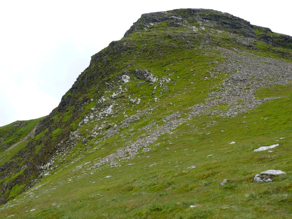
From Crag Hill we diverted to bag the Birkett of Eel Crag.
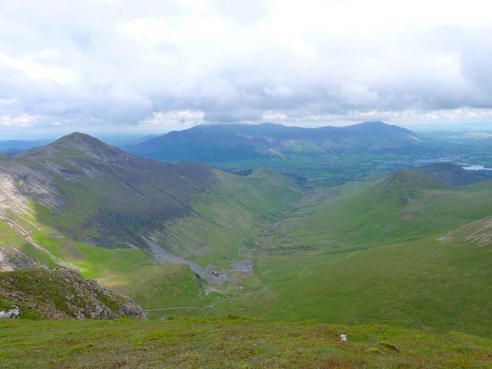
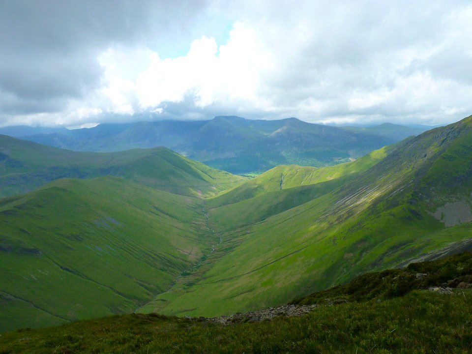
Great view down Coledale from Eel Crag
And Eel Crag from below at Coledale Hause.

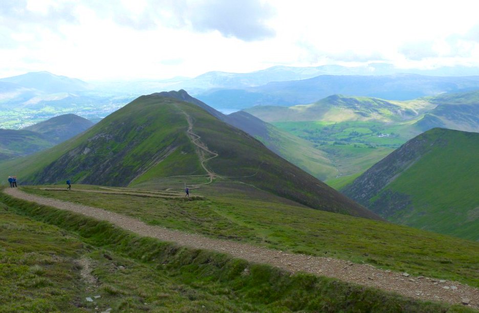
Heading for Grisedale Pike.
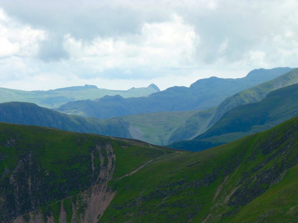
A view all the way to the Langdale Pikes.
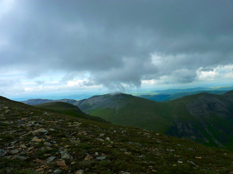
Looking back from near the top of Grisedale Pike. My camera "beeped" to tell me that the battery was flat so I looked for the spare only to remember that I had had left it in my other rucsac. So you will have to take my word that the views from the Hobcarton ridge were very lovely and that we did bag the Birkett of Hobcarton End and I probably wouldn't have taken any pictures of the walk down the road back to Braithwaite.