WWW.KARLSWALKS.CO.UK
PICTURES AND TRIP REPORTS FROM MY WALKS IN THE ENGLISH LAKE DISTRICT
|
|
|
|
The prospect of a bit of fine weather gave me the chance to fit in another quick overnighter. This time I headed to the fells around the lovely Newlands valley.

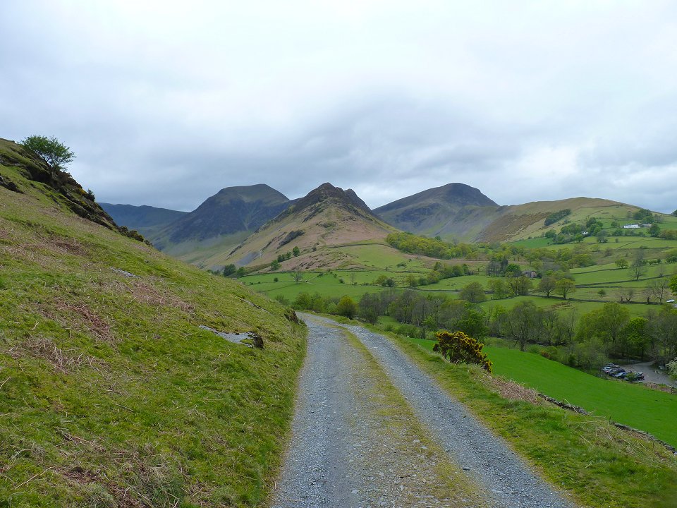
I made sure to arrive early as the car park at Chapel Bridge soon fills up at week ends. The day was as forecast dull but dry as I set of up the path to the old Yewthwaite mines area. The two fells pictured are Hindscarth in the middle with Robinson on the right, two fells I would be visiting later in the day
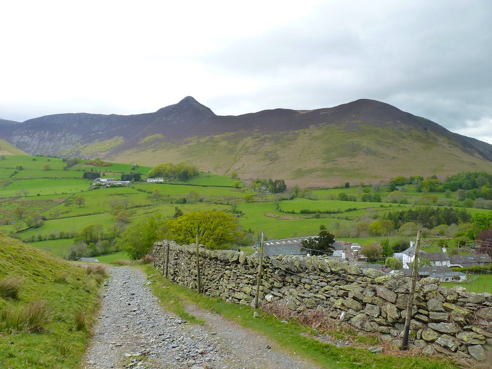
Looking over to the distinctive Causey Pike.
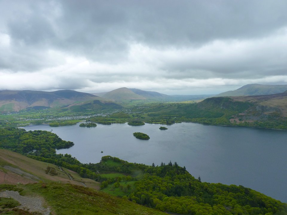
Derwent Water and Keswick from Cat Bells. Unusually I had the summit to myself but looking down I saw an army of people climbing up from Hawes End.
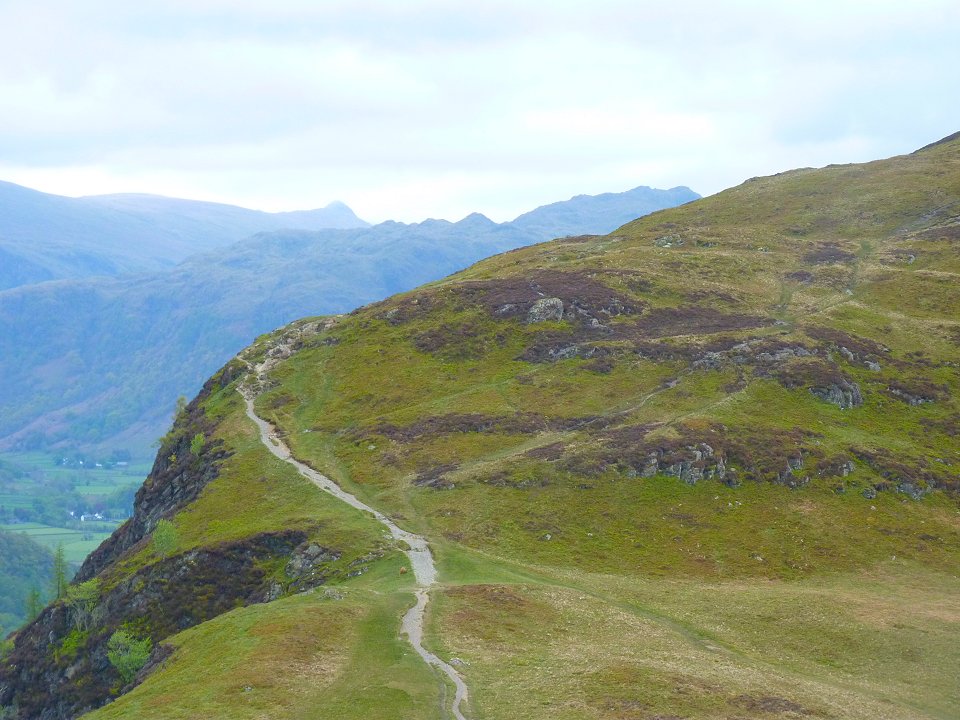
From Cat Bells I retraced my steps back down to Hause Gate the set of up the path to Maiden Moor. Pike of Stickle is the distinctive pointy fell in the distance
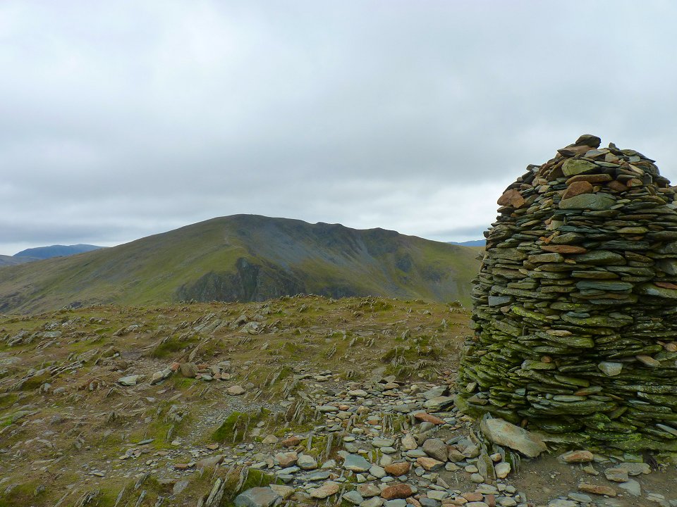
It's fairly easy walking over Maiden Moor and. then to High Spy. This looking past the cairn over to my next fell, Dalehead. But first I had to drop down to Dalehead tarn and the start up on the steep path to the summit.
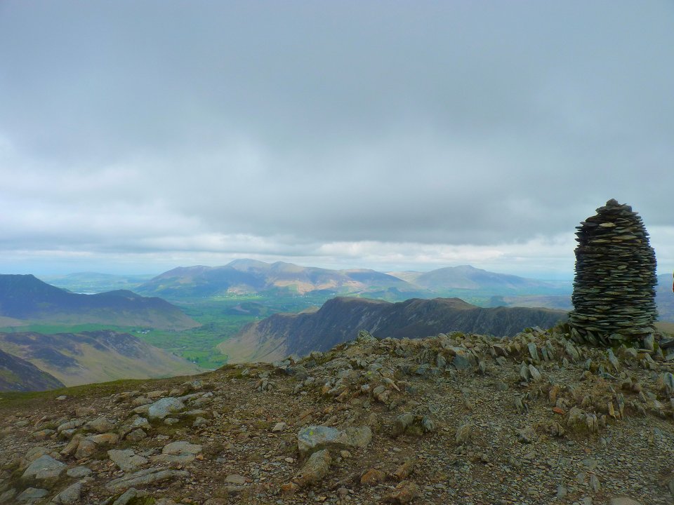
Te view back along the ridge from the nearly identical cairn on Dalehead.
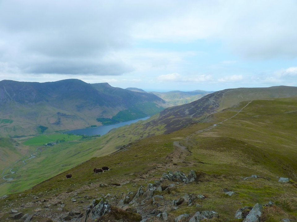
The weather seems to be picking up on the walk around to Hindscarth where Buttermere and it's attendant fells appear..
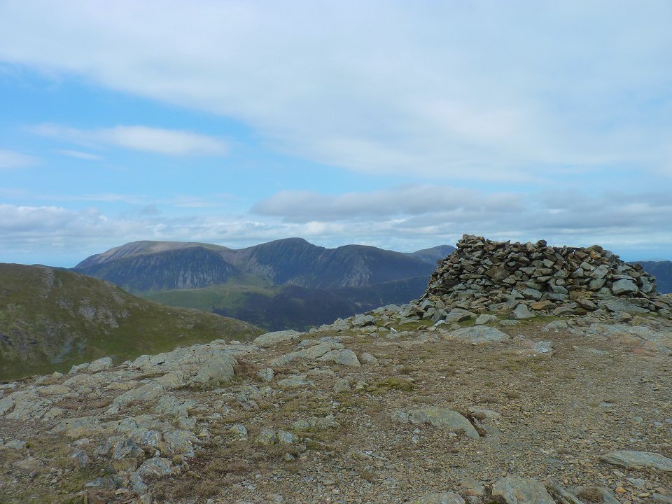
Grisedale Pike from the northern shelter cairn on Hindscarth.
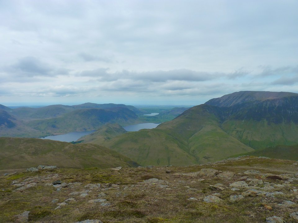
After another drop down and back up again I reached Robinson from where there is a good view of Crummock water with Loweswater beyond.
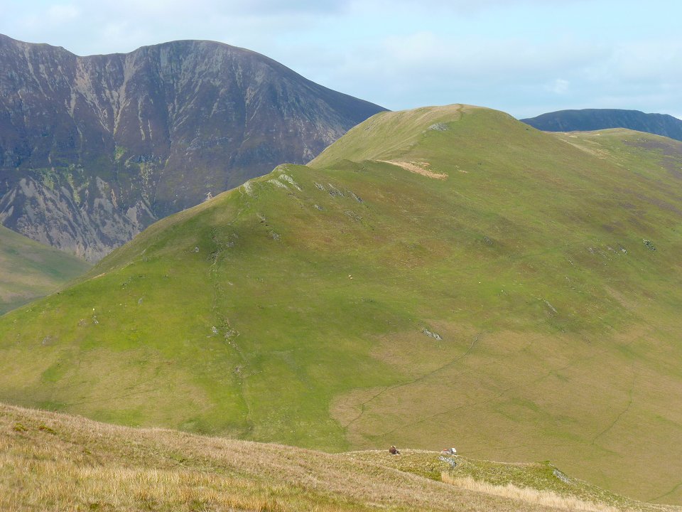
Next stop Knott Rigg.
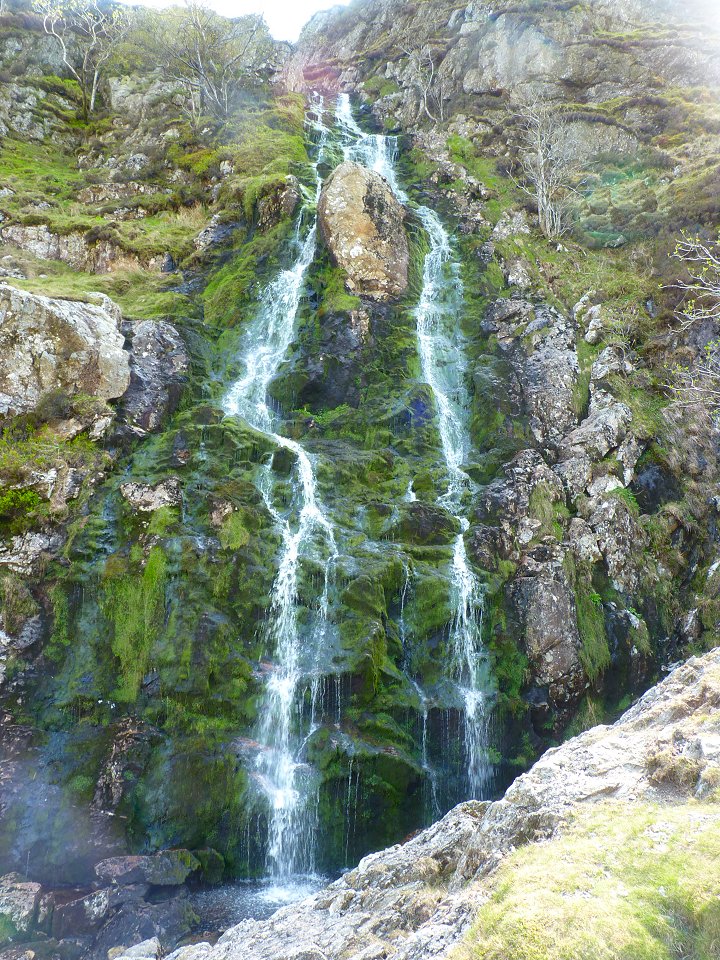
The pretty impressive waterfalls of Moss Force.
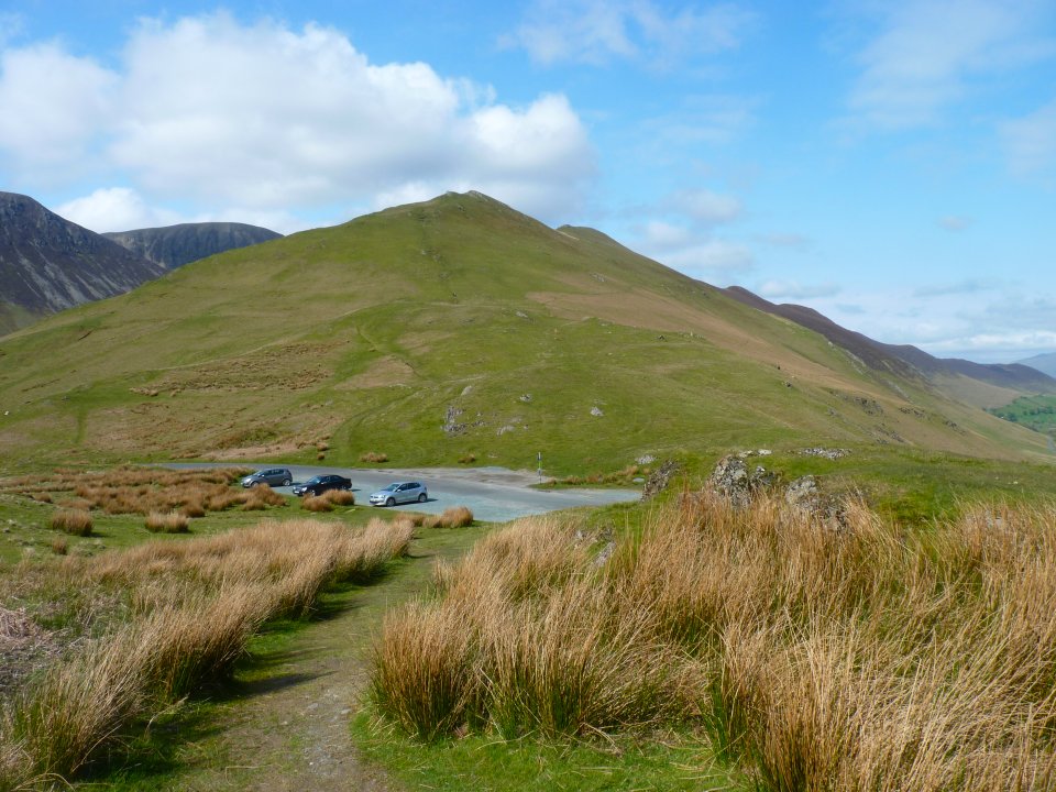
The Knott Rigg / Ard Crags ridge from Newlands Hause.
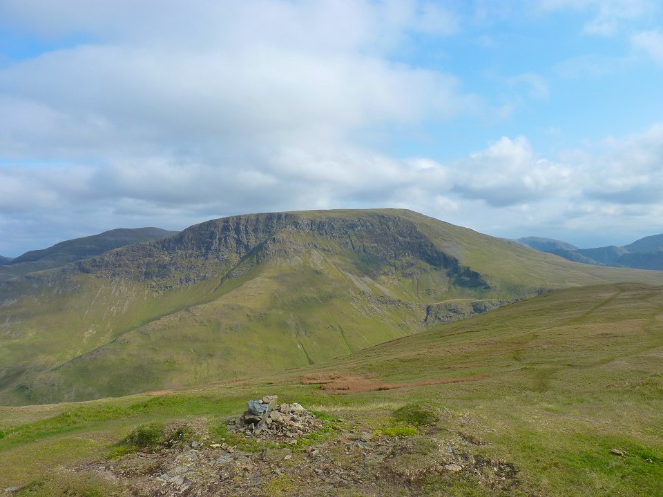
Looking back accros to Robinson from the top of Knott Rigg. I found a lovely spongy soft pitch just off the path so I pitched up in the afternoon sun. The only disappointment was that the evening became a bit cloudy so there was no real sunset views.
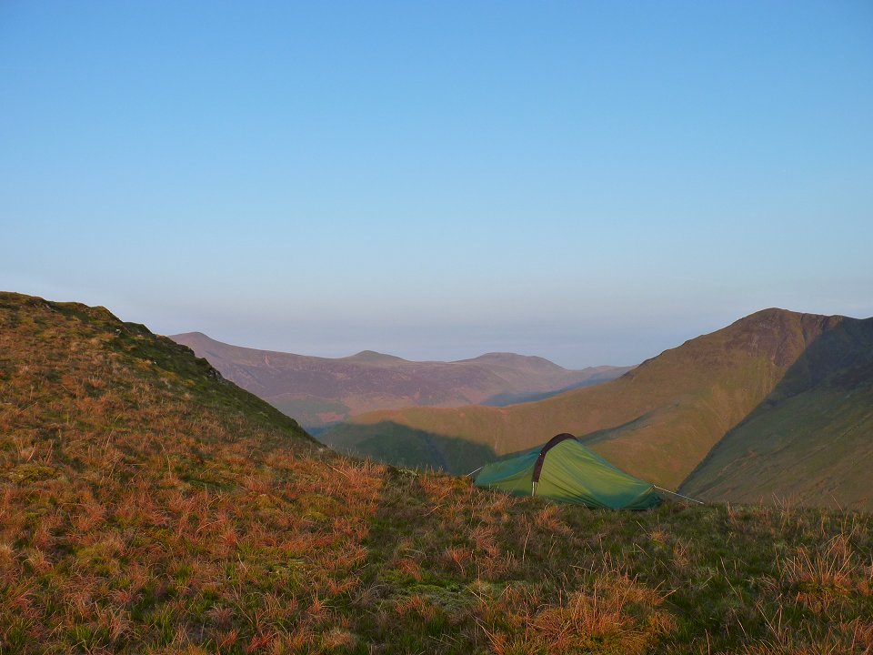
Sunday morning was glorious though and the fells were bathed in a lovely red light.
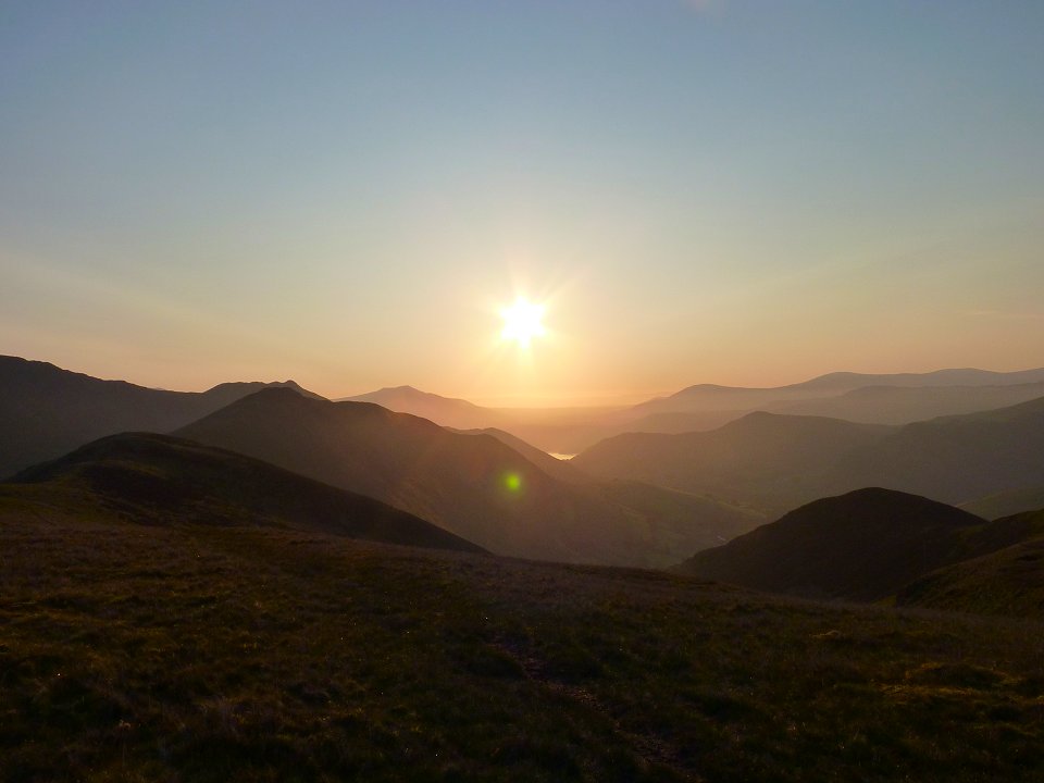
You are probably not supposed to point the camera right into the sun but the view was such that I couldn't resist
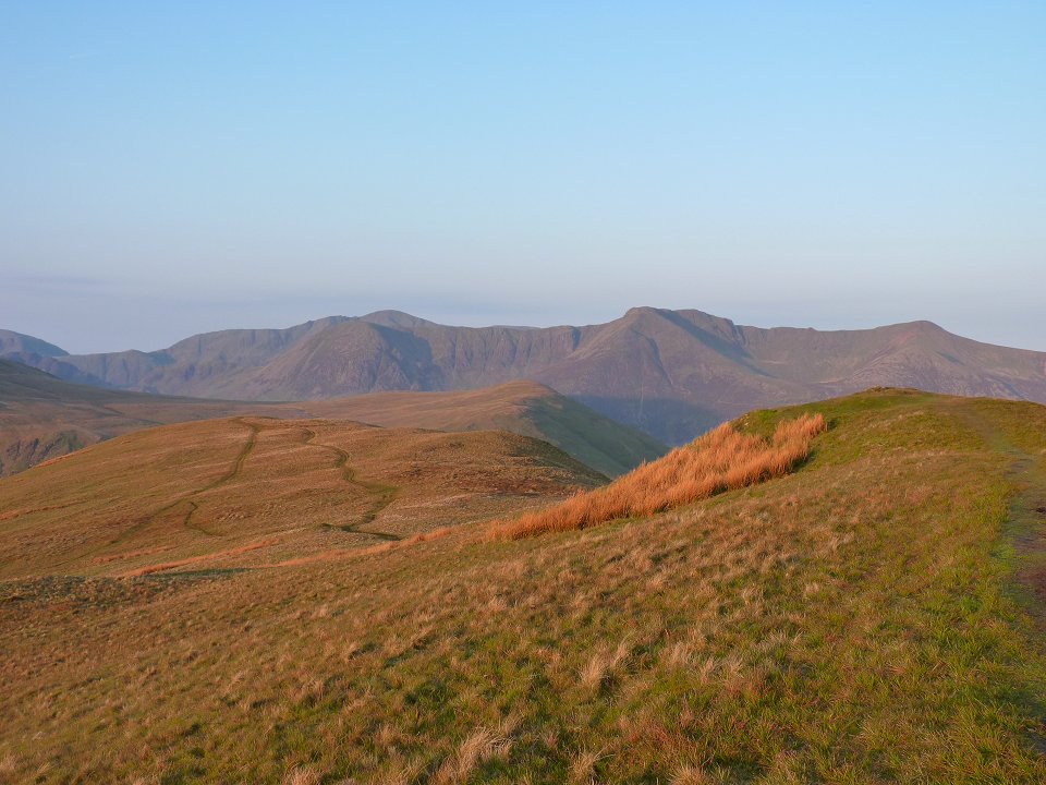
Looking over to the High Stile ridge.
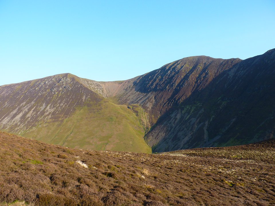
Addacomb Hole from the walk along to Ard Crags
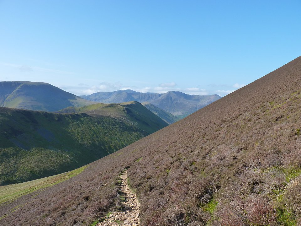
After visiting Ard Crags I set of down the steep side of the fell to the Rigg Beck valley and then climbed up to the col between Sail and the Scar Crags/Causey Pike ridge.
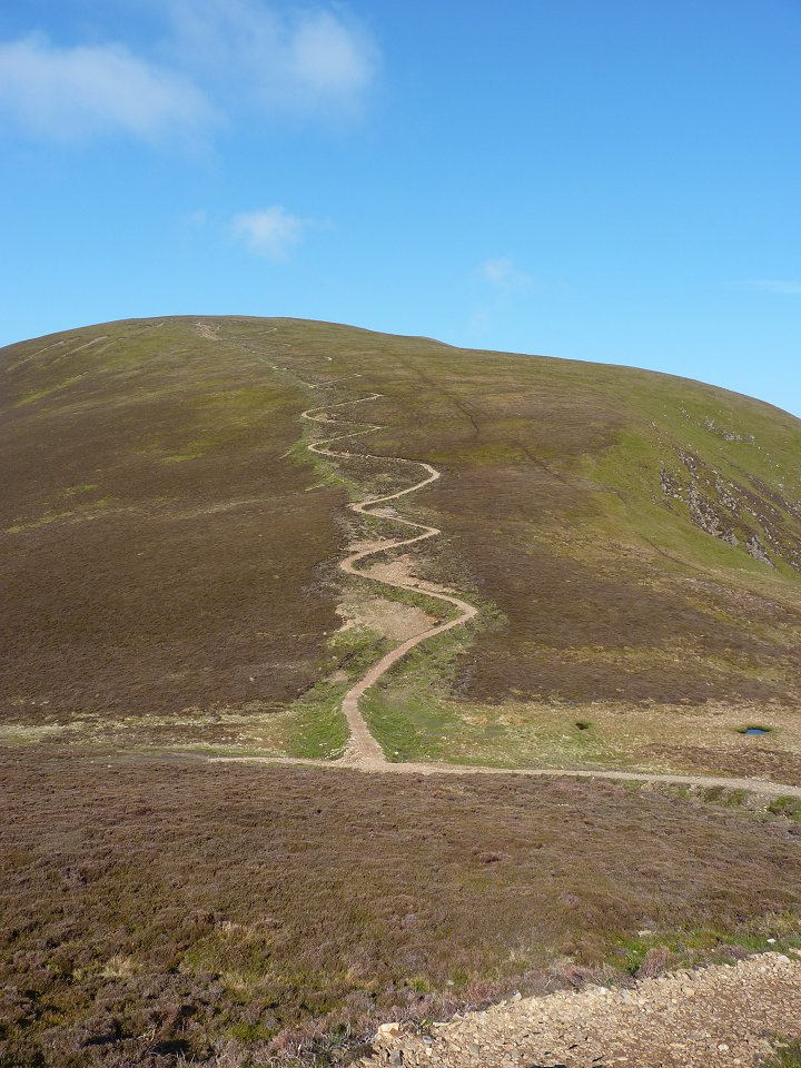
The new path up Sail. We have to hope that in time it will blend in a bit better.
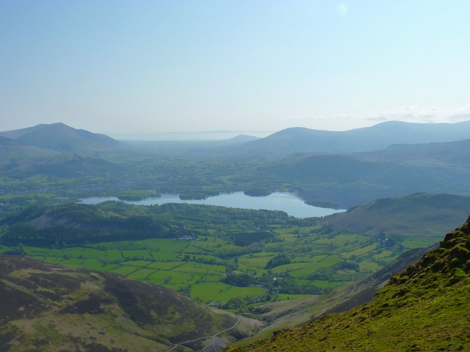
Derwent Water and the misty Pennines in the distance from the ridge.
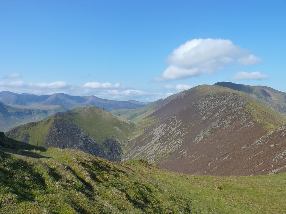
Looking back to Rigg Beck valley with Ard Crags on the left and Sail on the right.
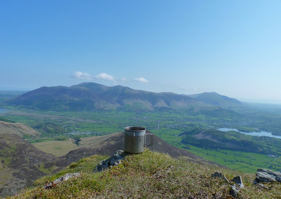
On Causey Pike now where I thought a brew was in order
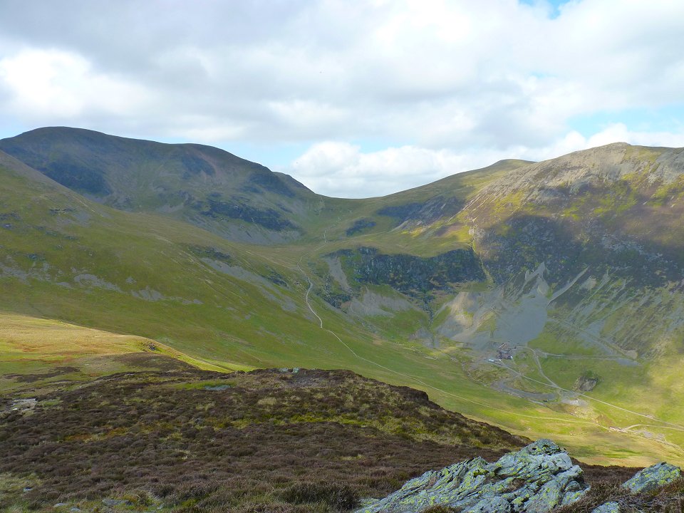
After my brew I retraced my steps to a small col from where a muddy path descends to meet the Stoneycroft Gill path. The path visible is not that one but is the the Force Crag mine path from Braithwaite. The path splits just before the mine and heads on up to Coledale Hause.
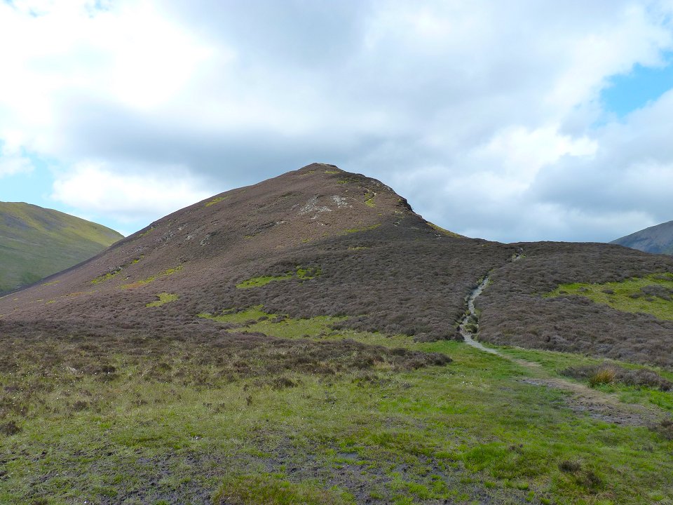
Once down to the path I set of up again over Outerside. This is looking back at Outerside from the path to Stile End.
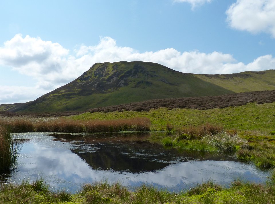
My brew stop (Causey Pike) from the little pond at the foot of Stile End.
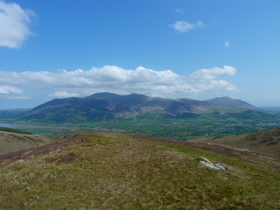
Skiddaw and Blencathra from Stile End.
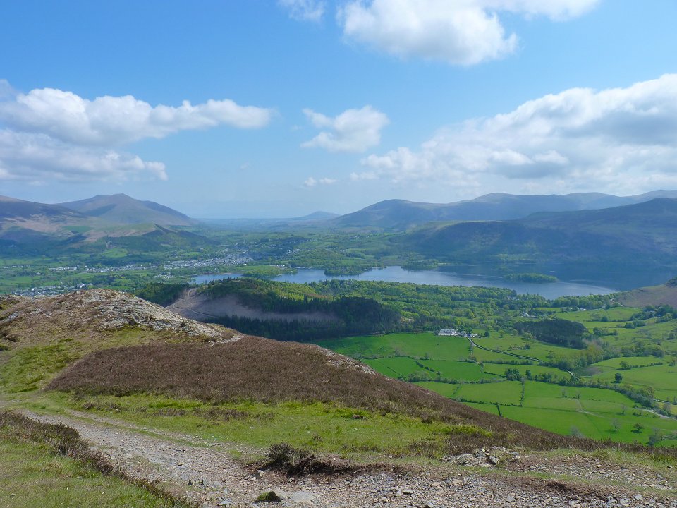
From Stile End I dropped down to Barrow Door and the up to Barrow. The fell on it's own in the far distance is Great Mell Fell
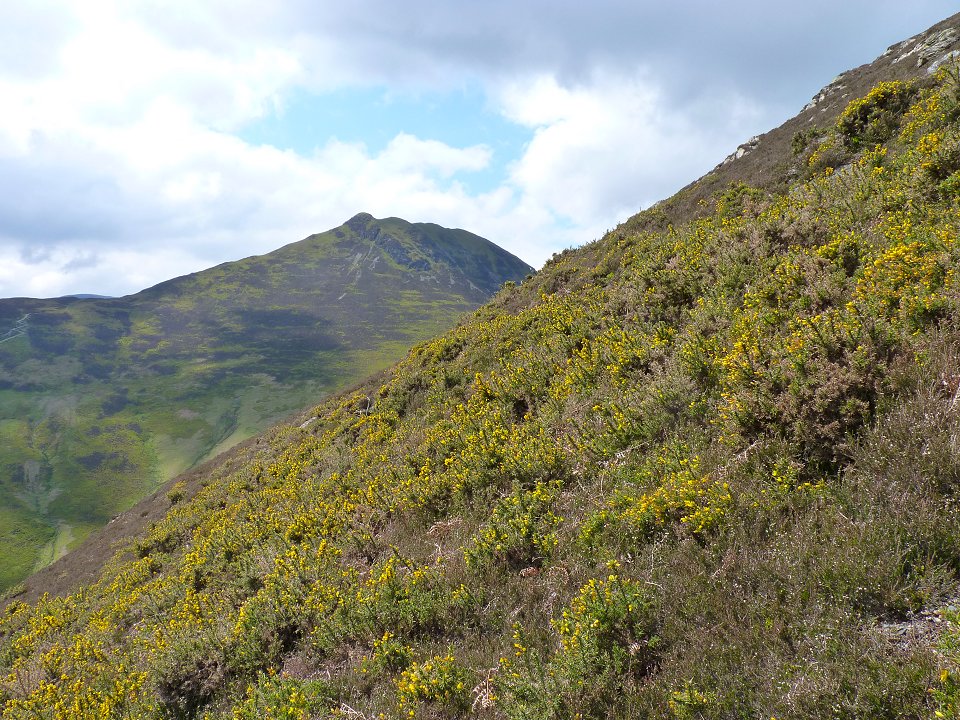
Causey Pike again from the steep direct route down the side of Barrow to Stoneycroft Gill bridge from where it's about a twenty minute walk back to my car.