WWW.KARLSWALKS.CO.UK
PICTURES AND TRIP REPORTS FROM MY WALKS IN THE ENGLISH LAKE DISTRICT
Me and number three son Robert went for a walk starting with a visit to Castlerigg stone circle and then by way of low and High Rigg we visited Raven Crag and then we braved the bogs to "climb" Armboth Fell. We made our way down to the road at Stockhow Bridge and caught the bus back up to the car.
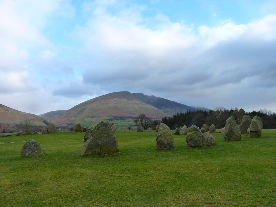
The day started quite promisingly with a nice bit of sunshine as we admired the stone circle and Blencathra behind.
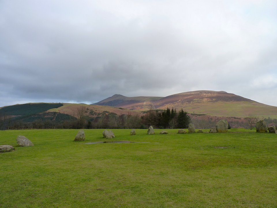
Looking in the other direction the wooded Latrigg, Skiddaw and Lonscale Fell form the background.
We are heading for the wooded hillsides of the Ben and Raven Crag but first we visit Tewet Tarn and the Riggs.
Tewet Tarn with the North-Western fells behind.
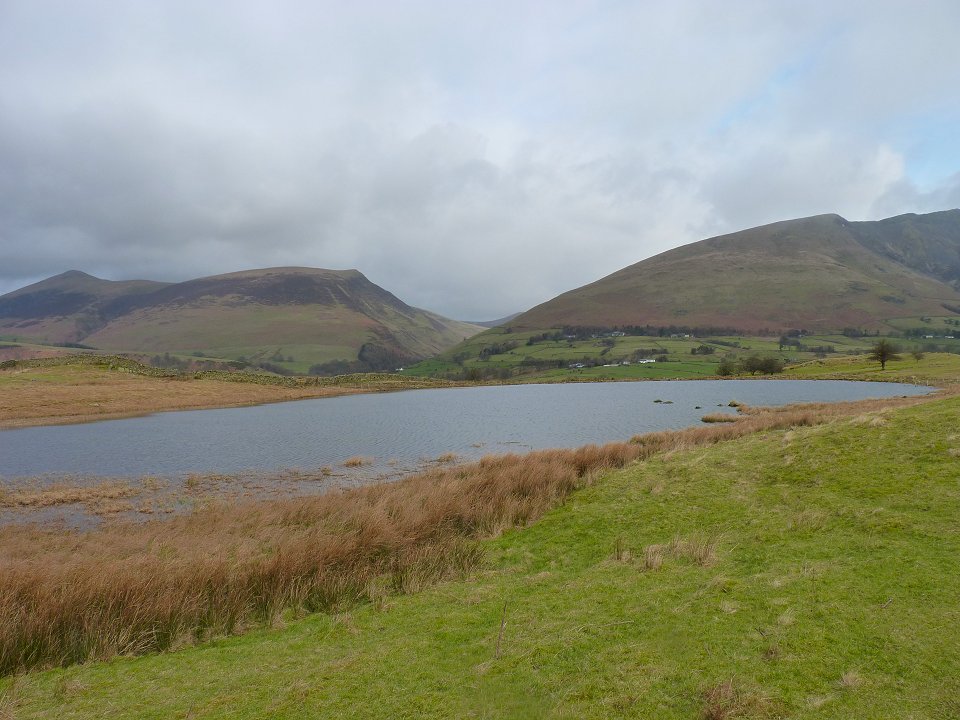
Looking Northwards over the tarn to on the left the Skiddaw fells and on the right Blencathra with a little bit of Great Calva in the gap between.
High Rigg from Low Rigg.
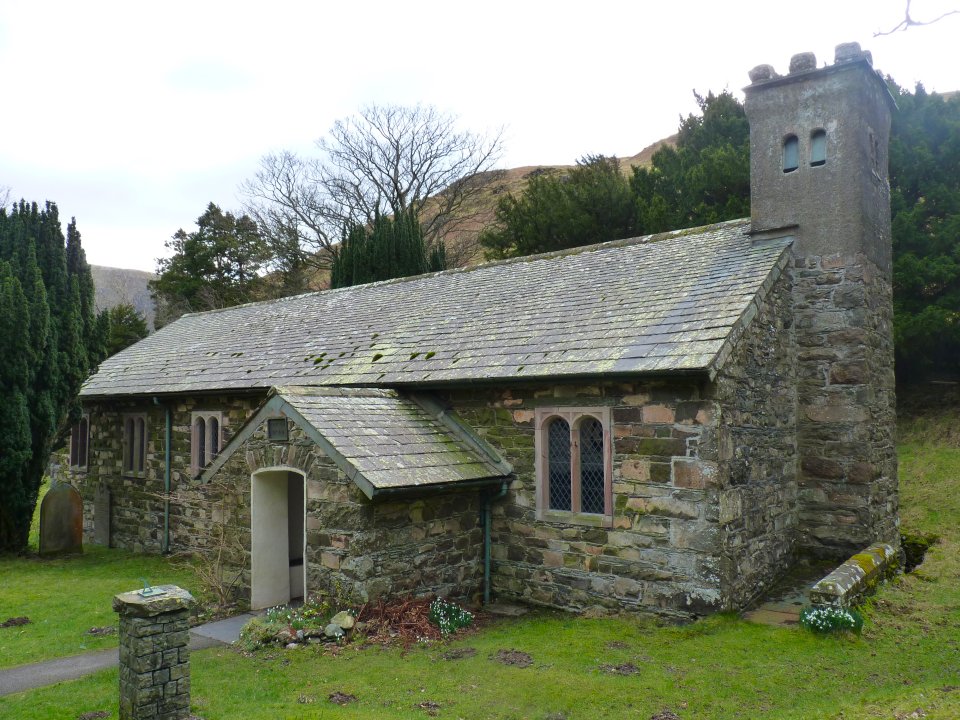
Before we climb High Rigg we visit the lovely St.John's in the vale church
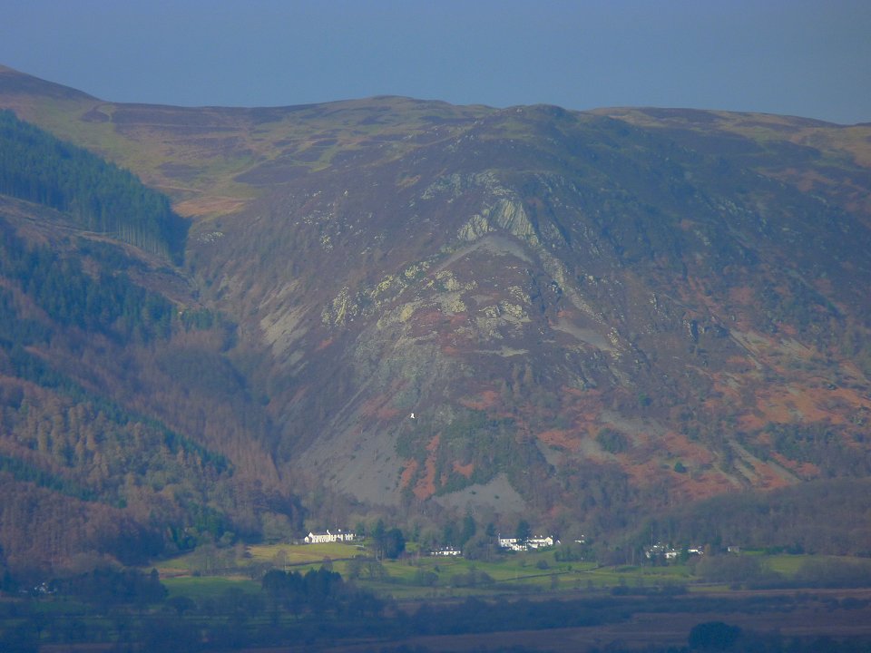
Zooming in on Barf with the white painted Bishop rock prominent.
Looking down to Thirlmere from High Rigg. The blue sky from earlier is being gradually covered by cloud and we did feel a spot or two of rain but not enough for us to change into waterproofs.
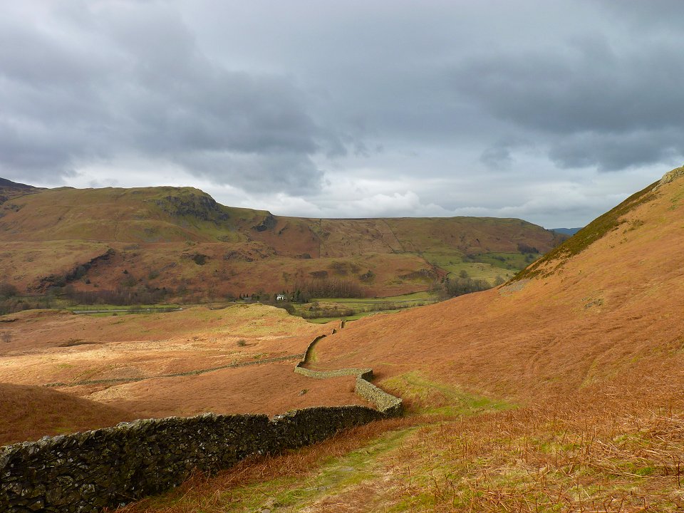
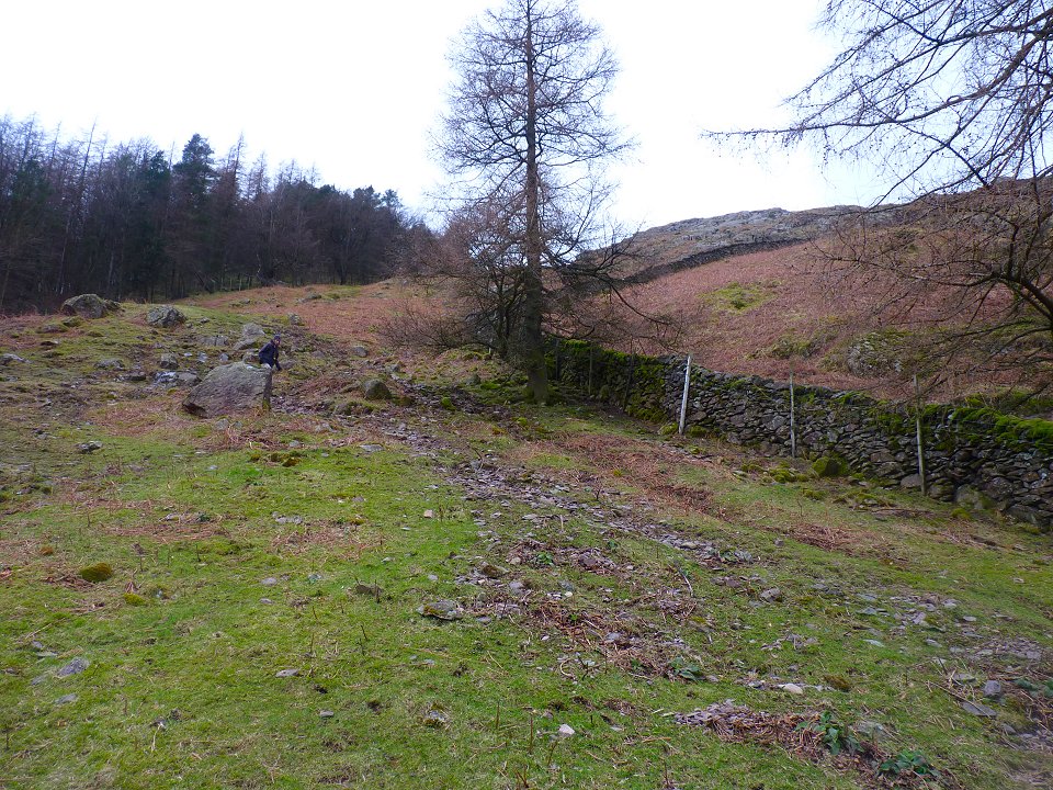
Following the wiggly wall down to the A591
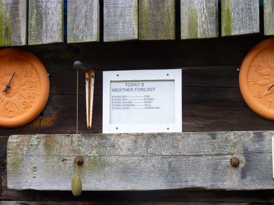
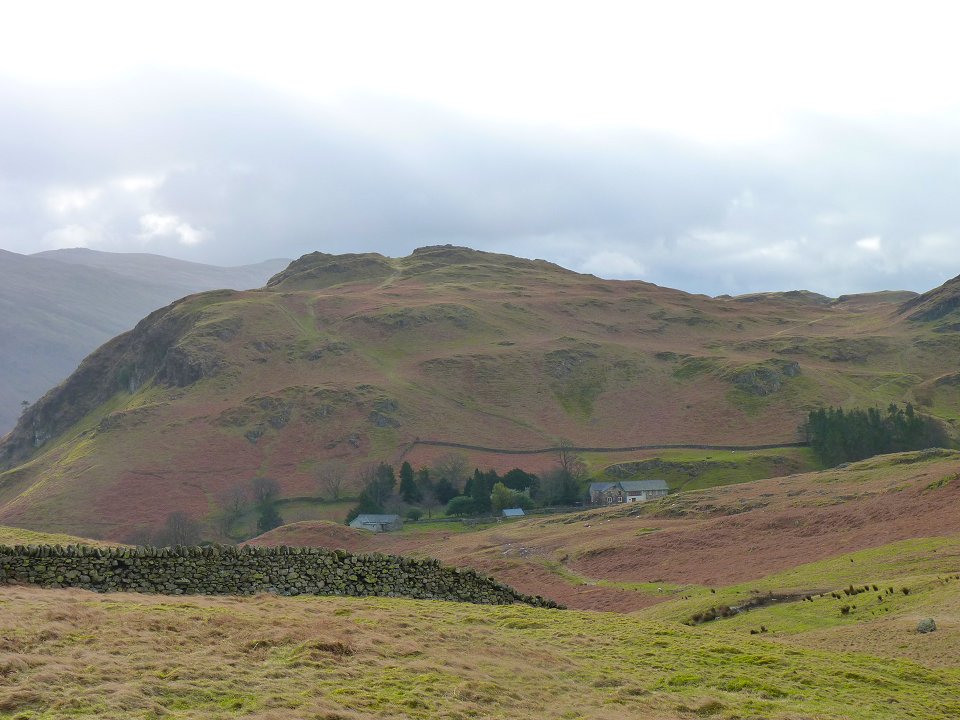
Once across the road we check out the weather station at Shoulthwaite fearm.
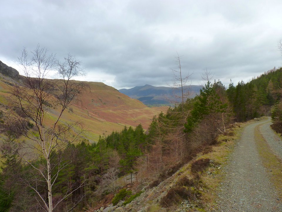
Looking back down the forest road as we climb up to Raven Crag.
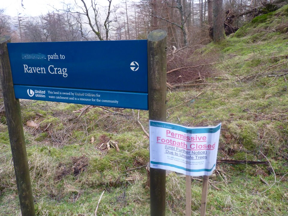
I knew the path was closed but we diverted a few yards along the road and found an easy way to by-pass any unsafe trees.
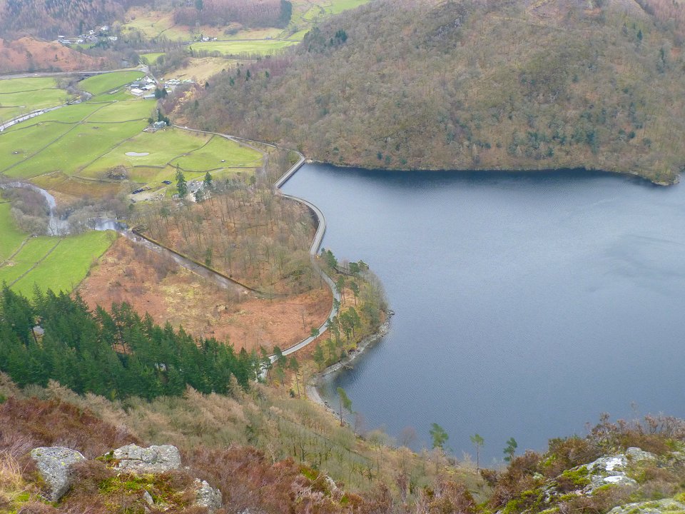
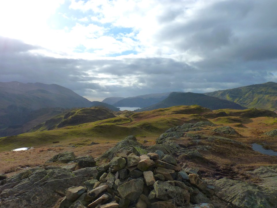
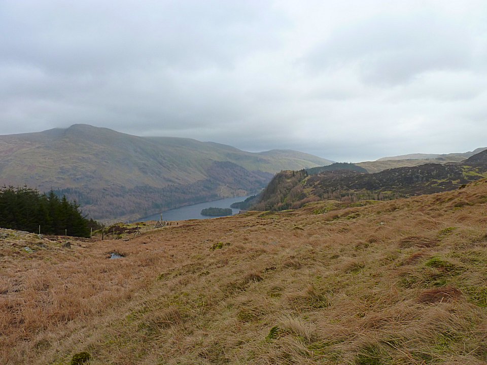
Looking down on Thirlmere Damm from our lunch spot.
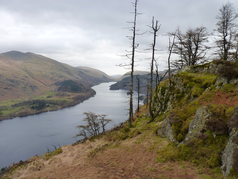
The classic view along Thirlmere from the same place.
Last time I visited Raven Crag I had wanted to follow the forest road to see where it led but time was pressing so I dropped down the usual path to the dam and walked back along the road. This time we followed the road right to its end , on the way we passed a gate leading onto the open fell which if we were out of luck we would have had to go back to but luckily there was a way up following Thrang Gill.
On the open fell now looking over Fisher Crag and Thirlmere to Helvellyn.
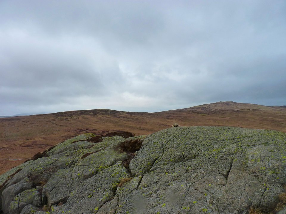
Armboth Fell with High Tove leading up the ridge to High Seat. We should have probably done this walk a few weeks ago when the bogs were frozen solid but to be honest the ground was not too bad, certainly no worse than a lot of other places in the Lakes
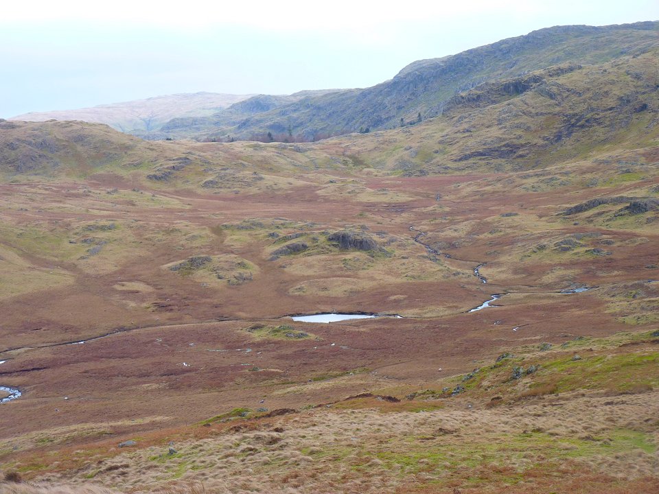
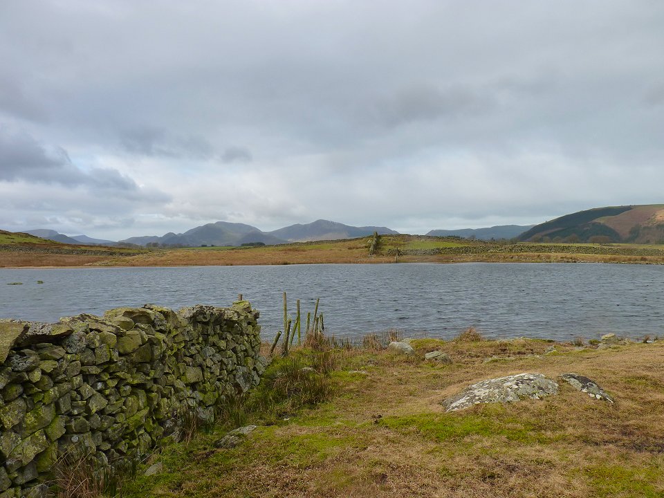
Looking down on Launchy Tarn which really is just a place where Launchy Gill just goes a bit wider.
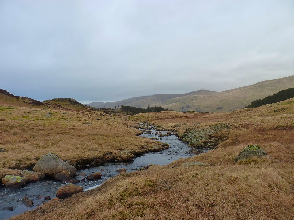
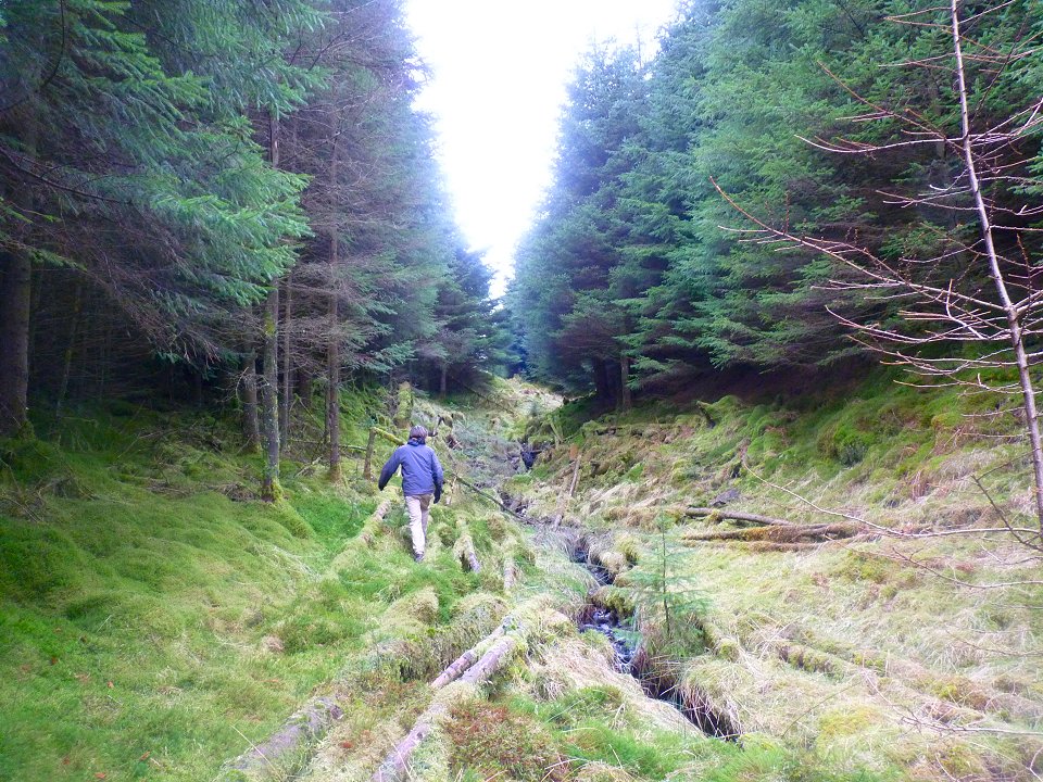
Crossing Launchy Gill where it doesn't go wider.
We had intended to visit Harrop Tarn but we took a short cut down a very rough path by Bank Crag to try and get the 3.45 bus but we still missed it by ten minutes and had to wait another fifty for the next one. The most painful part of the day came when the bus driver said £8,80 for the two of us, for the 10-15 minute ride back to the car.