WWW.KARLSWALKS.CO.UK
PICTURES AND TRIP REPORTS FROM MY WALKS IN THE ENGLISH LAKE DISTRICT
E-mail - karl@karlswalks.co.uk |
I have always wanted to camp at Hard Tarn, so I made a route that would get me there in the evening. I again caught the train to Windermere and the jumped on the bus to Ambleside.
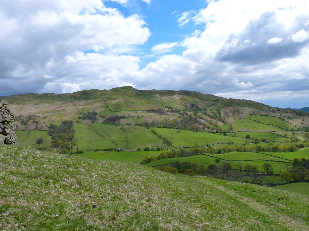
The Wansfell ridge from the start of the climb from the Kirkstone Rd.
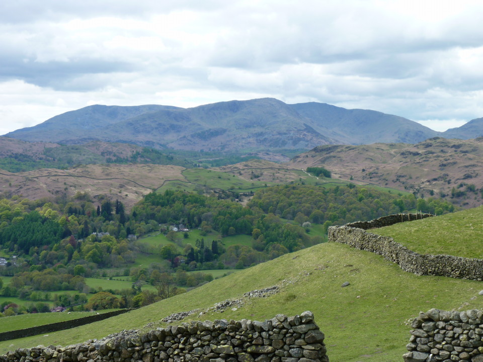
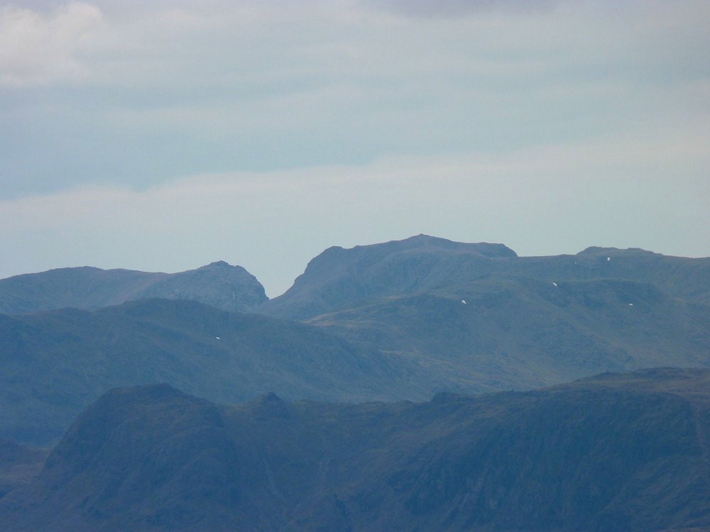
The Coniston Fells.

Progress was slow up the ridge as I kept stopping to admire the view. This is Bowfell and the Langdales over Rydal Water.

A wider view with Harter Fell now visible over Wrynose Pass.
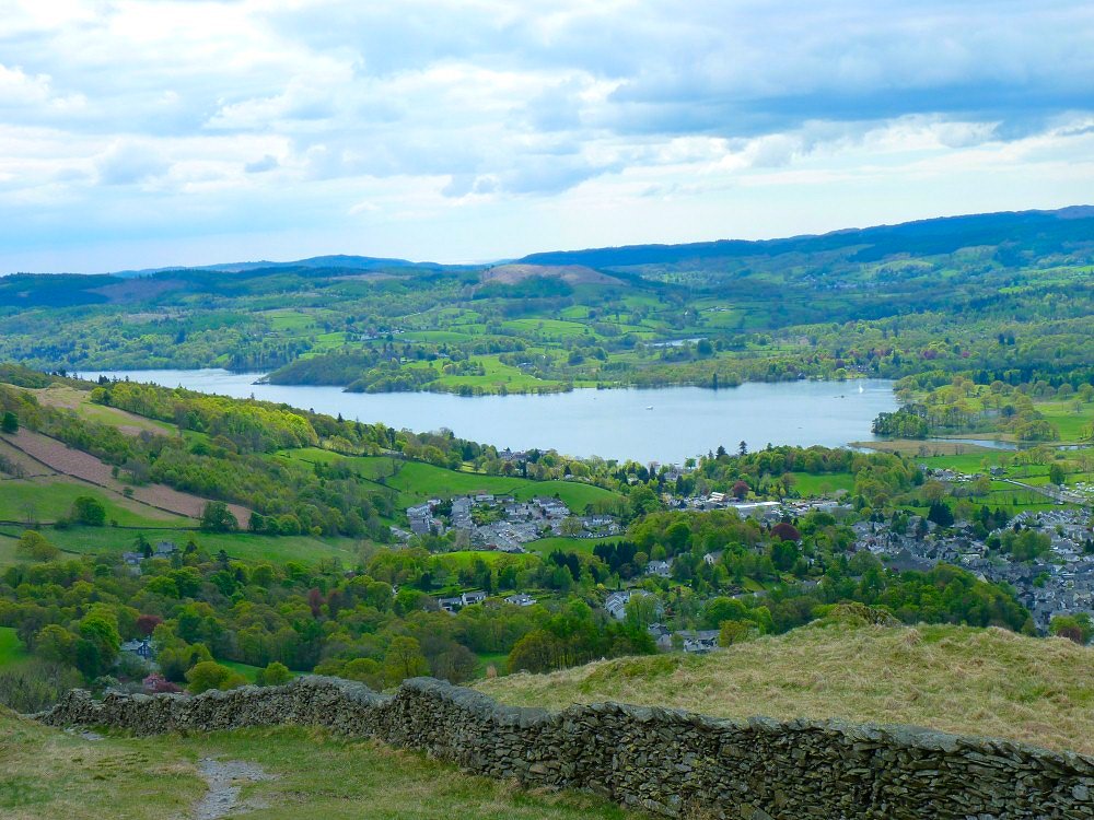
A bit more of Windermere from higher up.
On Red Screes now looking to the coast with a slice of Coniston Water on the right.
Zooming in on Scafell Pike..
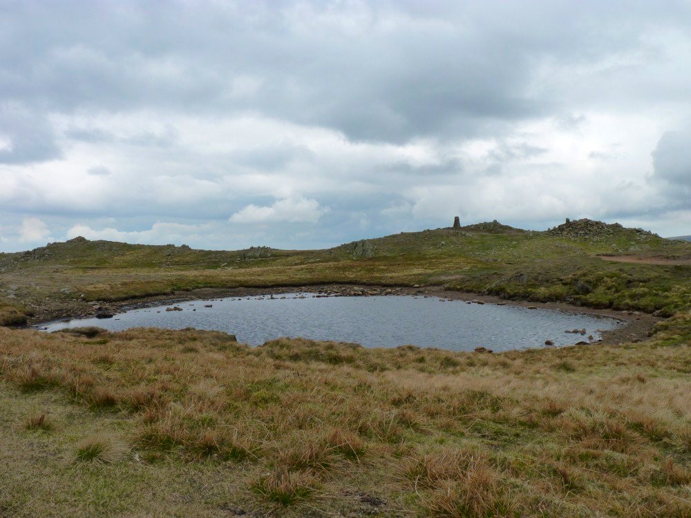
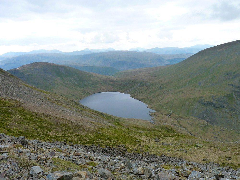
Red Screes Tarn

Looking over Middle Dodd to Brothers Water and Place Fell
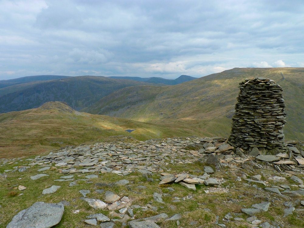
Scandale Pass and tarn from the impressive cairn on High Bakestones.
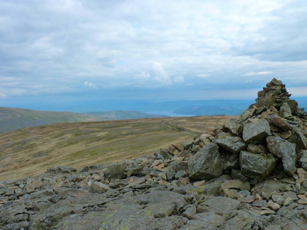
Windermere from Dove Crag.
Grisedale Tarn from Cofa Pike.
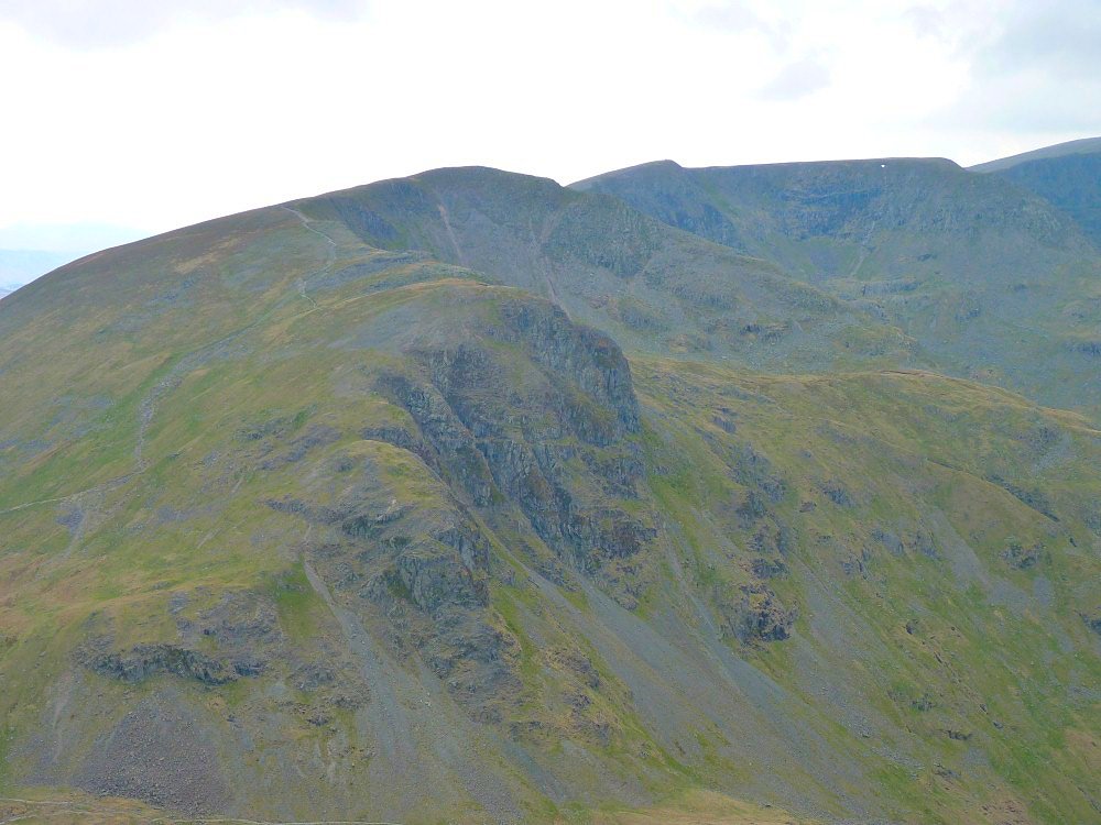
Dollywagon Pike.
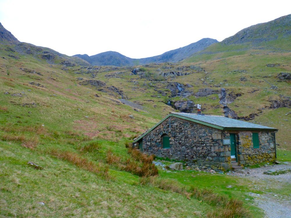
From Ruthwaite Lodge I set off up the fell to the hard to find Hard Tarn.
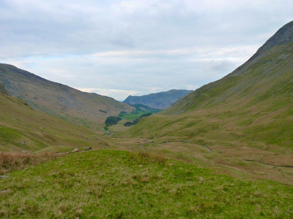
View down Grisedale with Place Fell across the end.
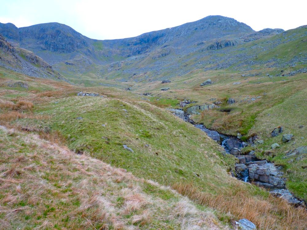
Nearly there now. I was heading for the bowl in the middle of the picture that looks like it should hold a tarn, but when I reached it I found just a boggy little shelf. Hard Tarn is on another little shelf just to the right and slightly above.
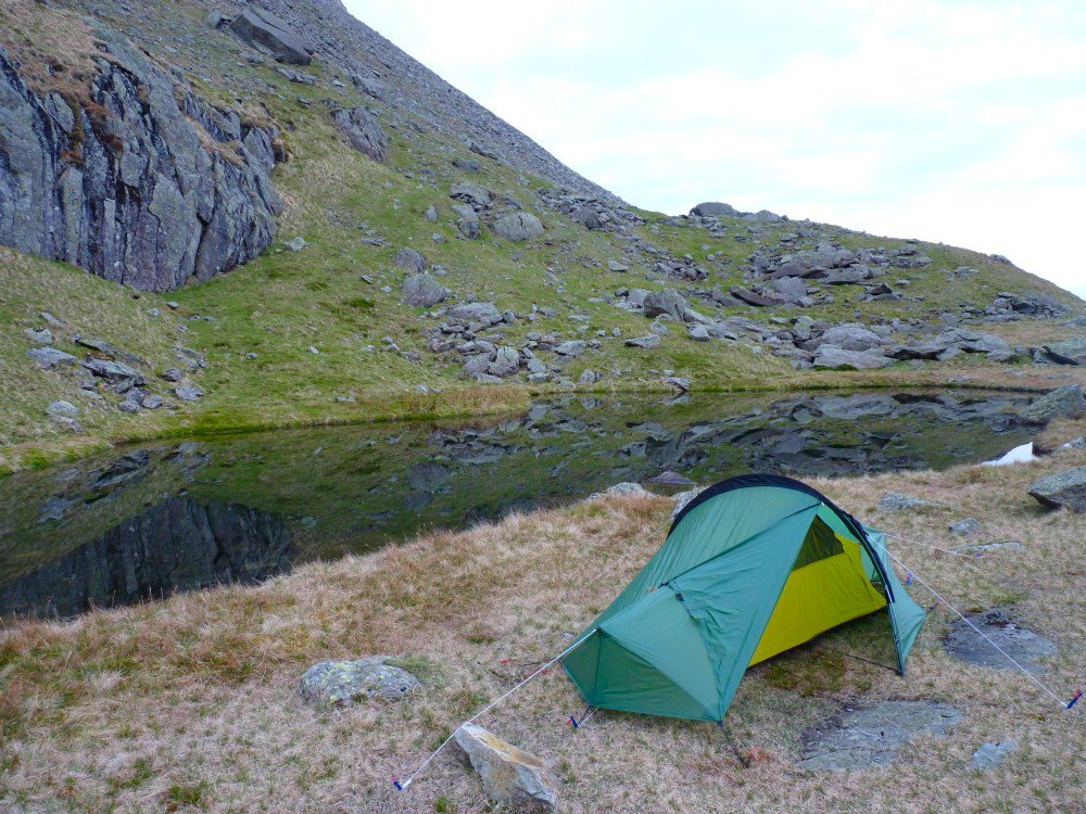
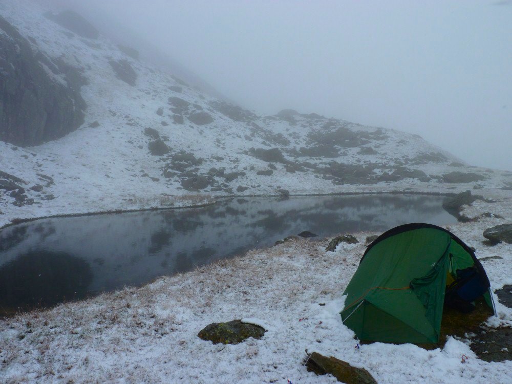
Hard Tarn at last.
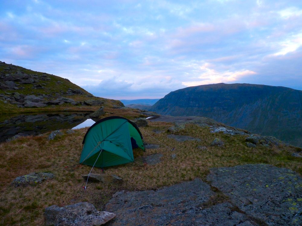
.St.Sunday Crag later on in the evening.
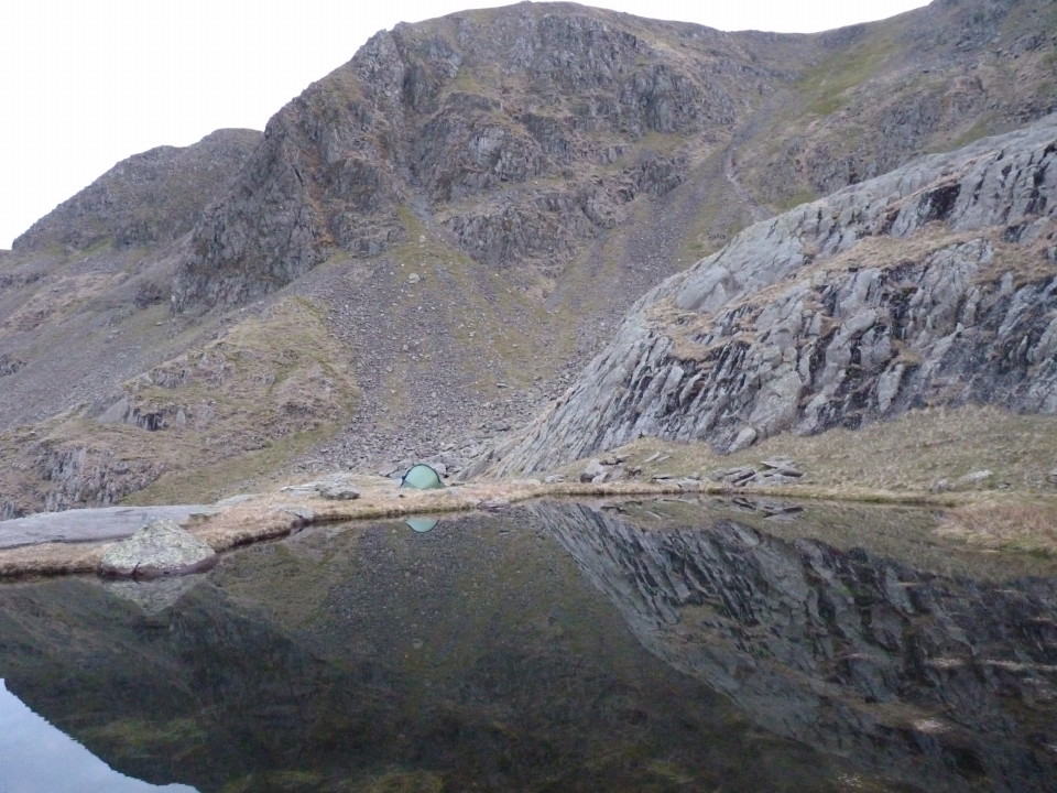
High Crag reflected in the wonderfully clear water.
I settled down to a still night and was woken at around 6am by gentle rainfall on the tent so I snuggled down for a hour or so and when I finally had a look outside I got a bit of a shock.
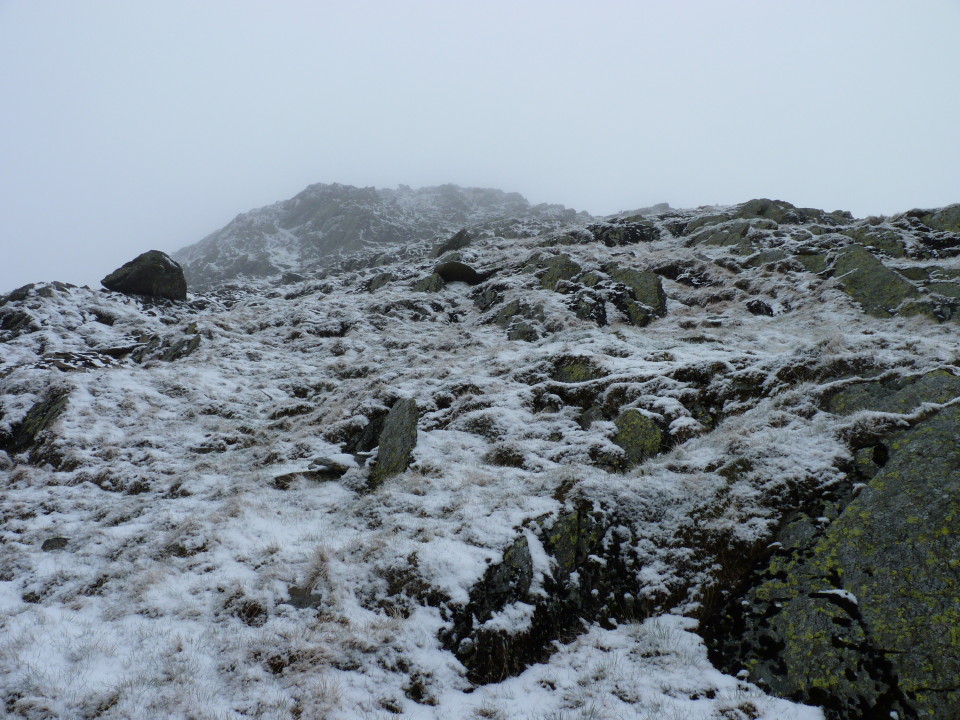
Its the 10th of May not the 10th of January! It was a pity the views had gone but I like walking in the snow so I packed up and set of up the steep East ridge of Nethermost Pike
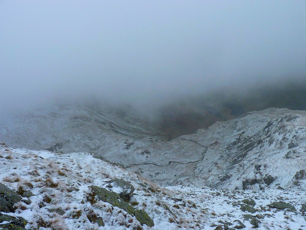
Looking down the ridge into Nethermost Cove.
.And looking up the steep climb.
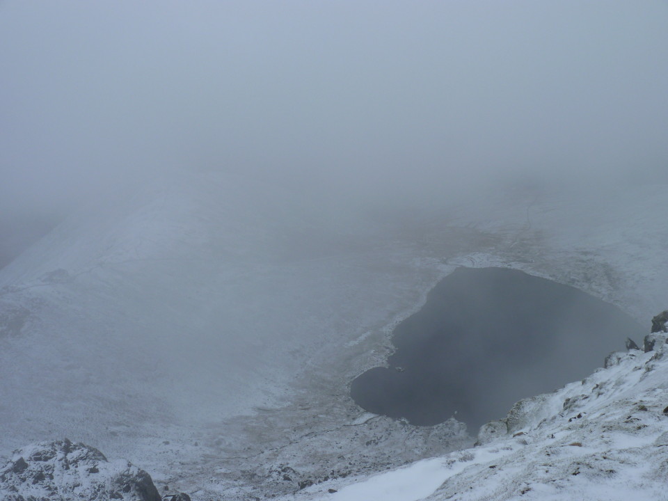
Red Tarn through the mist.
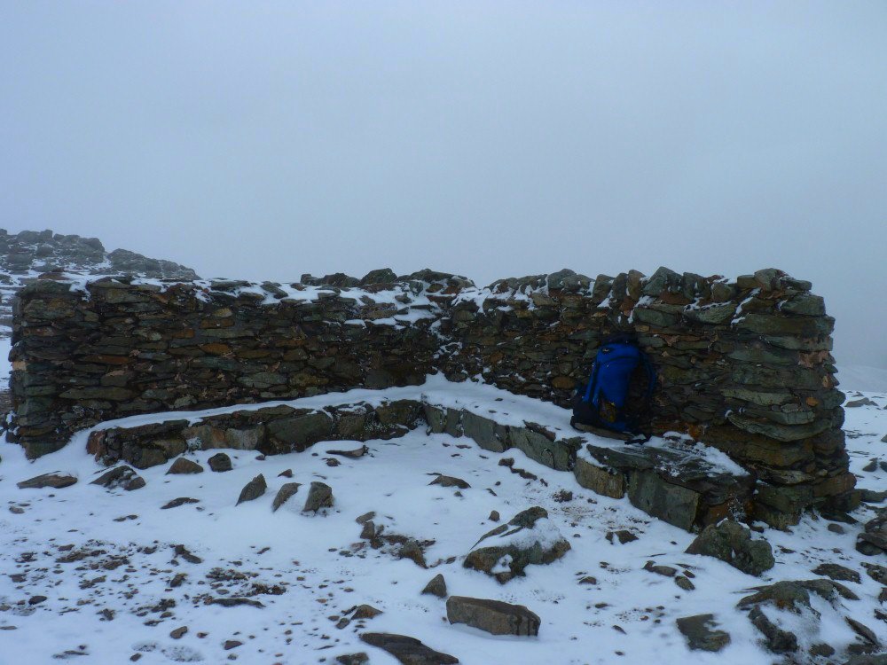
Something you don't see very often. A deserted (apart from me) Helvellyn shelter
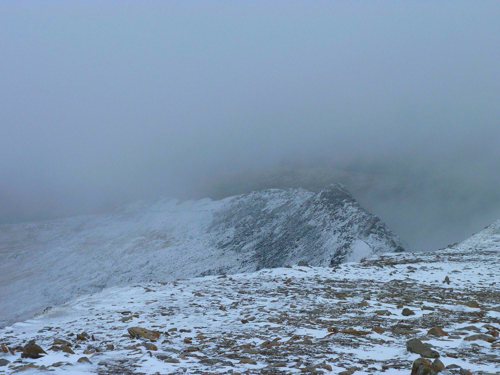
Striding Edge. Every time I put my camera away the sky would clear so I raced to take a picture and the mist would come blowing back in.
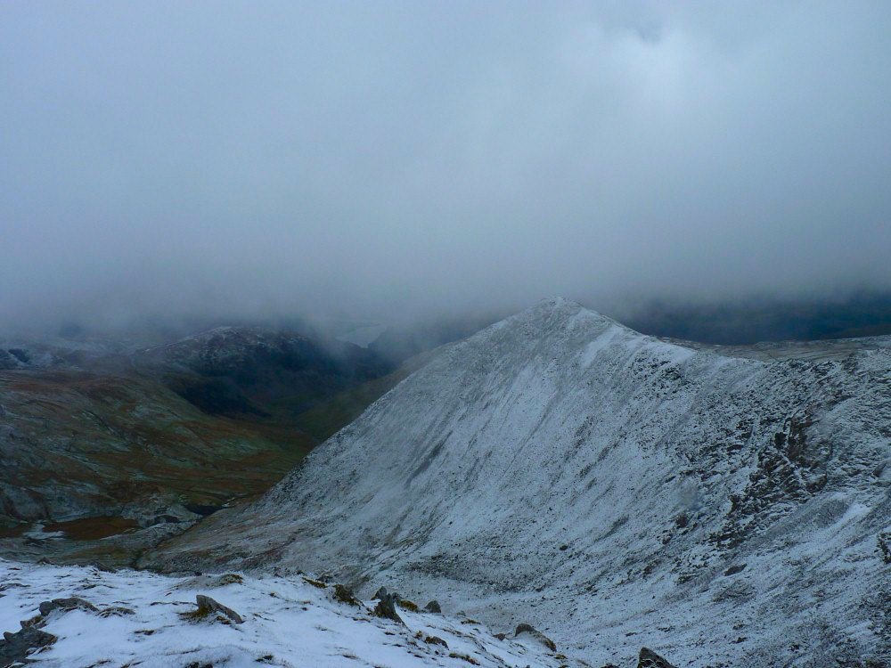
Catstycam and a glimpse of Ullswater.
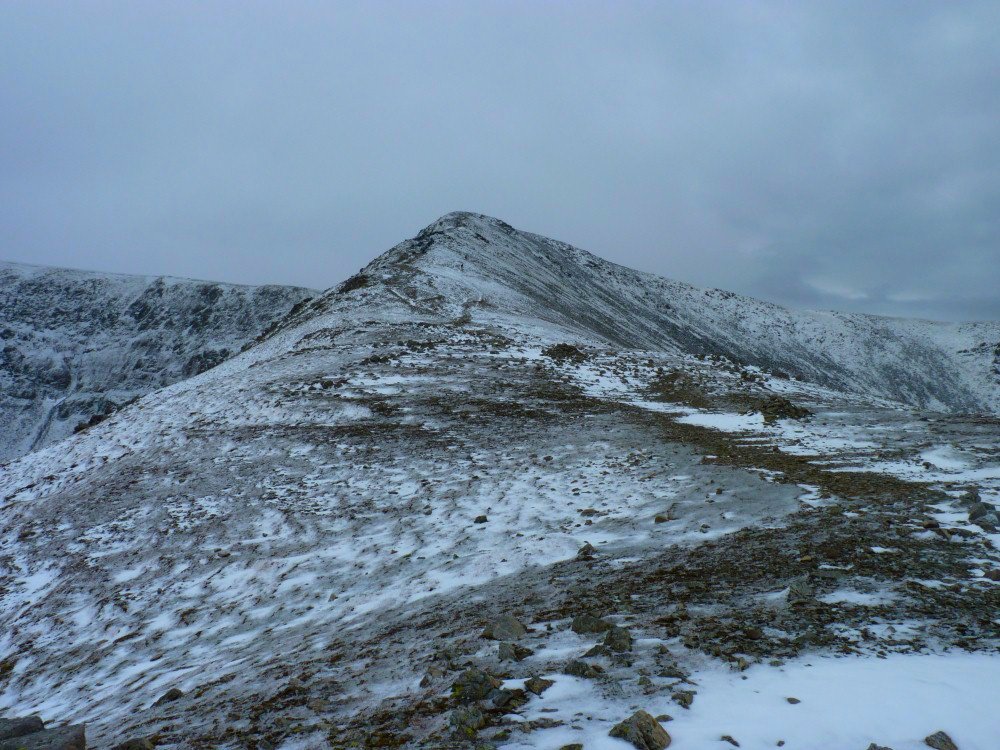
Helvellyn Litte Man
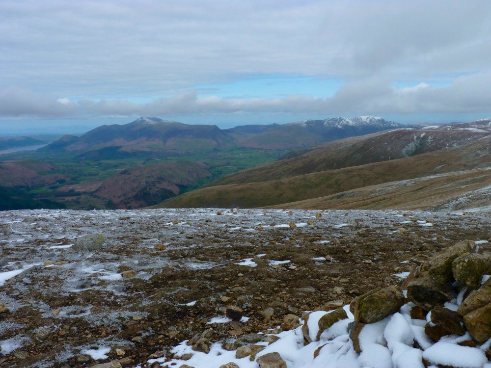
Skiddaw on the left and Blencathra both with a lighter dusting of snow han Helvellyn..
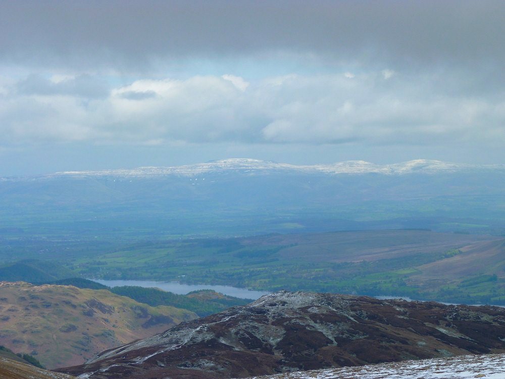
Cross Fell and the Dun fells.
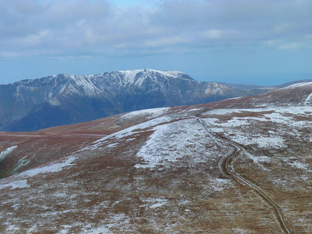
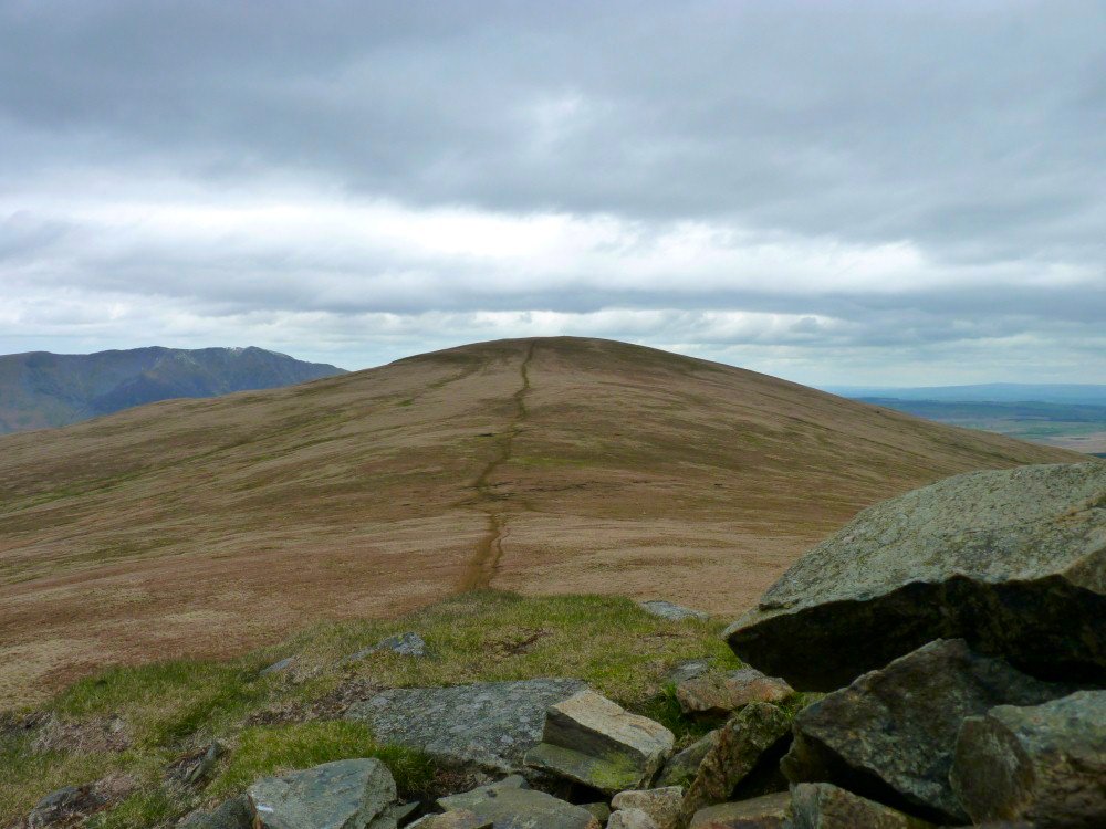
Blencathra again from the easy walking over the Dodds.
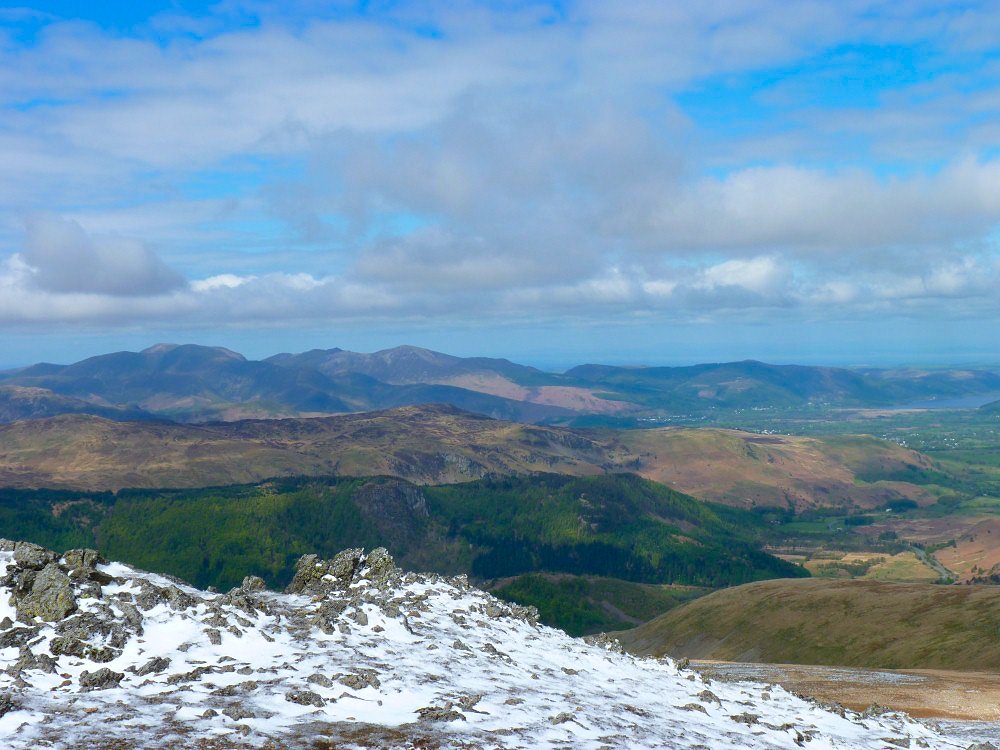
The north western fells under a nice blue sky.
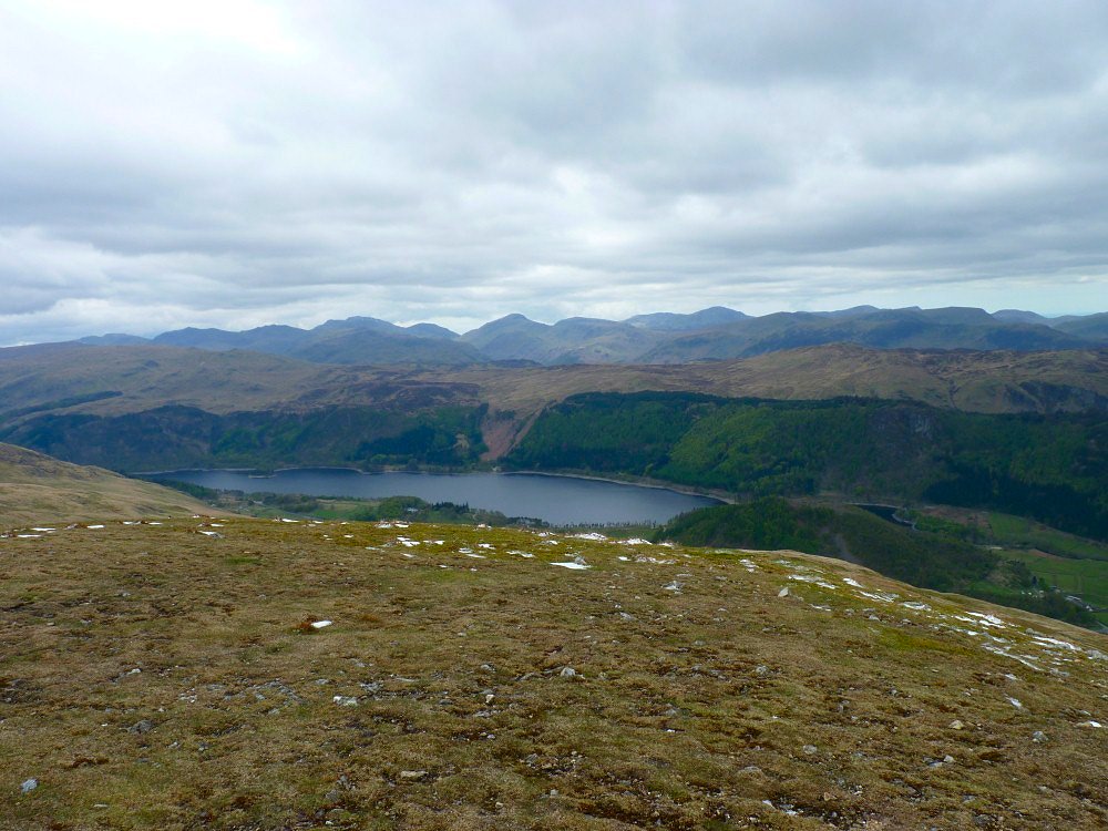
Still a bit overcast to the south though. Thirlmere down below and with the cool air a really clear view of the high fells.
Looking over to Clough Head from Calfhow Pike
I had intended to descend by way of Fisher's Wife's Rake but I was not paying enough attention to the map and walked past the top of it so I came down on the pleasant path which contours round the fell and brings you out at Hilltop quarries above Wanthwaite from where I walked to the A591 and caught the bus back to the railway station.
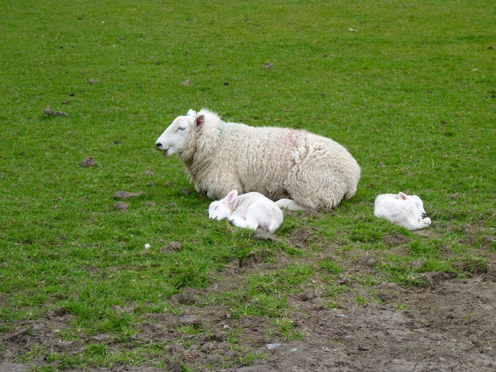
Snapped whilst waiting for the bus