WWW.KARLSWALKS.CO.UK
PICTURES AND TRIP REPORTS FROM MY WALKS IN THE ENGLISH LAKE DISTRICT
|
|
|
|
Another visit to the Howgills today and unlike last week when there was a cooling breeze today was very warm with no wind to speak of.
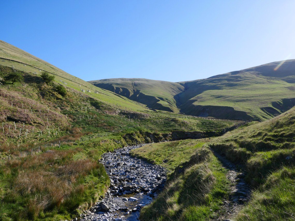
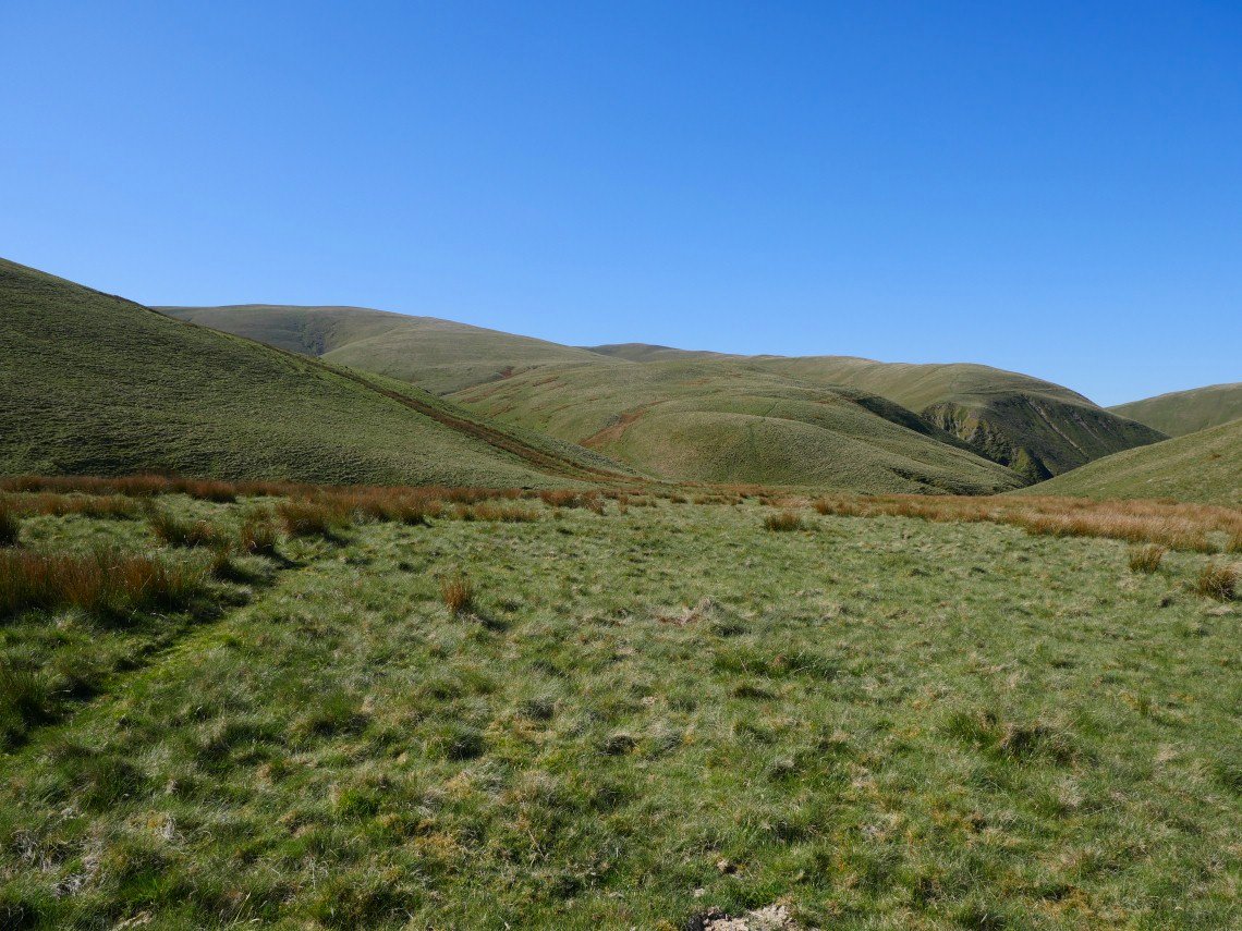
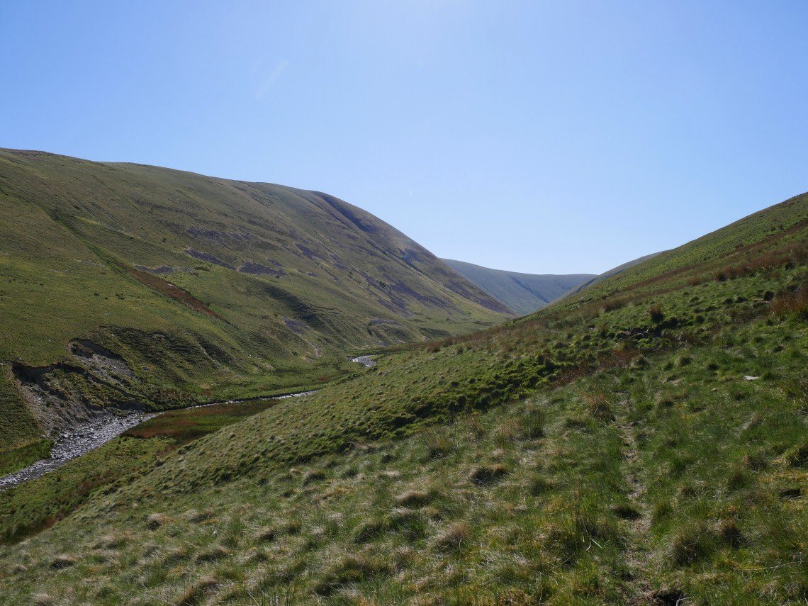
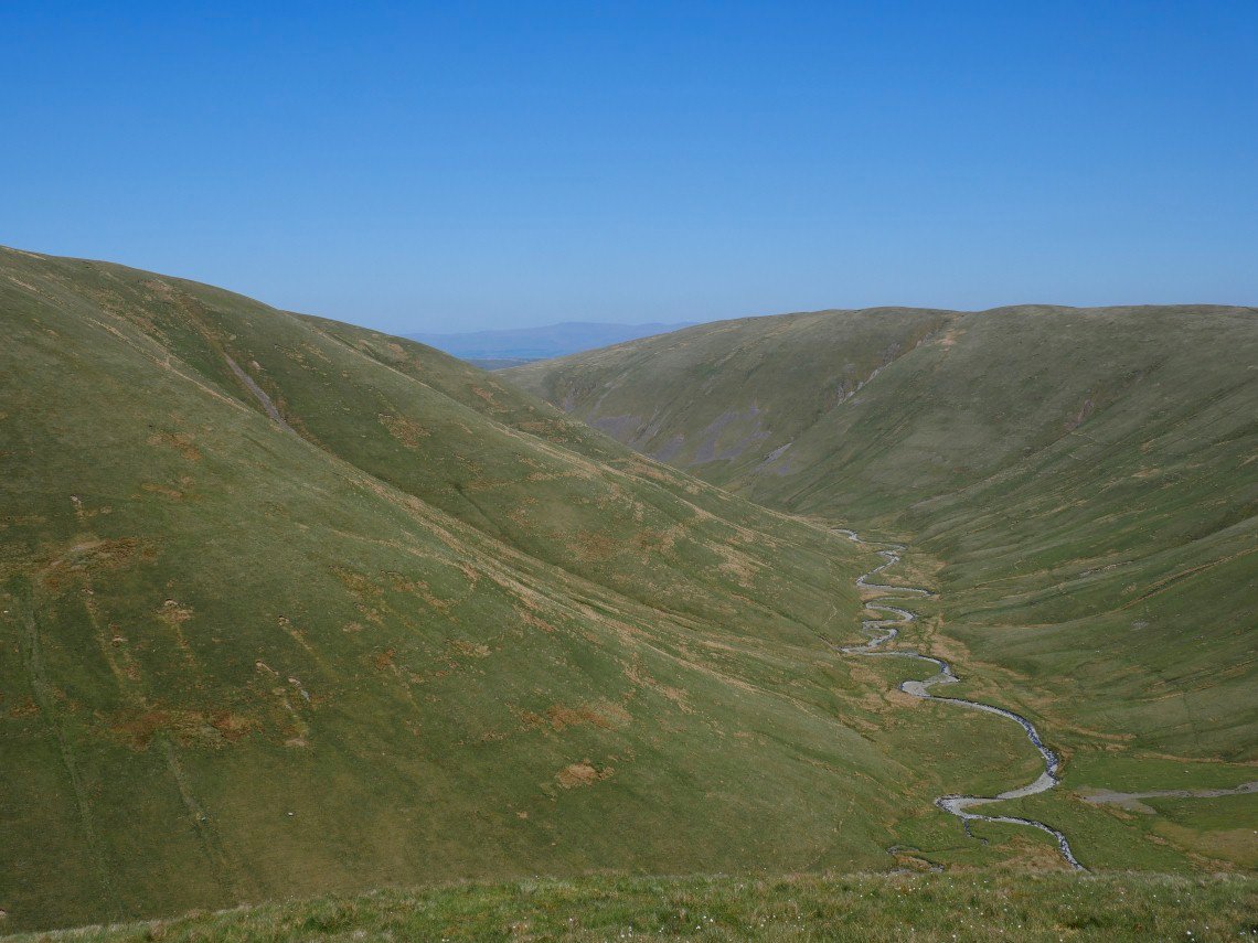
I arrived quite early so there was no problem parking on the rough ground just after the bridge and from the road it's literally minutes to the lovely little valley of Carlin Gill. Grains Gill and Weasel Gill are concealed in the deep gullies in the hillside ahead.
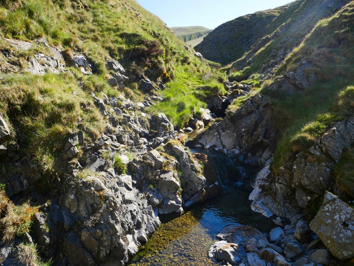
With the water so low it was easy following the gill, whenever I thought the path looked a bit rough I simply crossed over, I must have done this five or six times as I progressed along the valley.
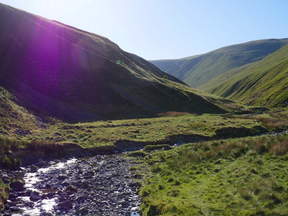
After not too long the wooded ravine is reached where the path takes a higher line on the north side.
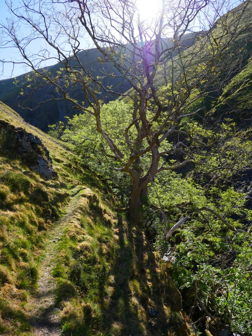
The path is a little narrow and exposed in places but nothing too bad.
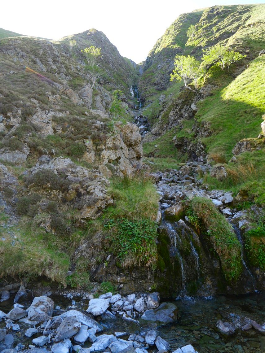
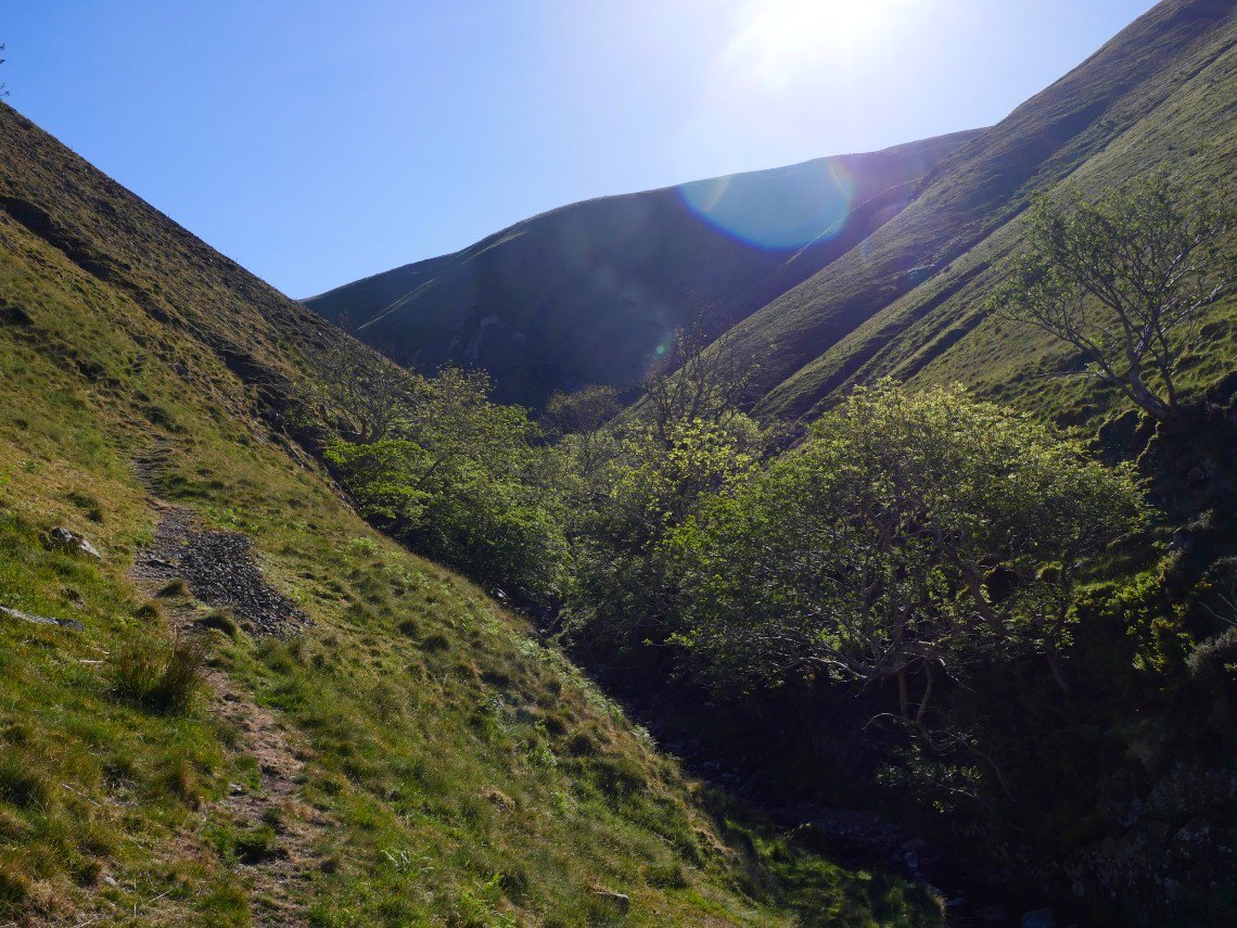
After the wooded section you reach Black force. I had intended to climb out of the valley here on the steep path to the left of the falls but I was enjoying rock hopping along the valley so much that I carried on towards the Spout.
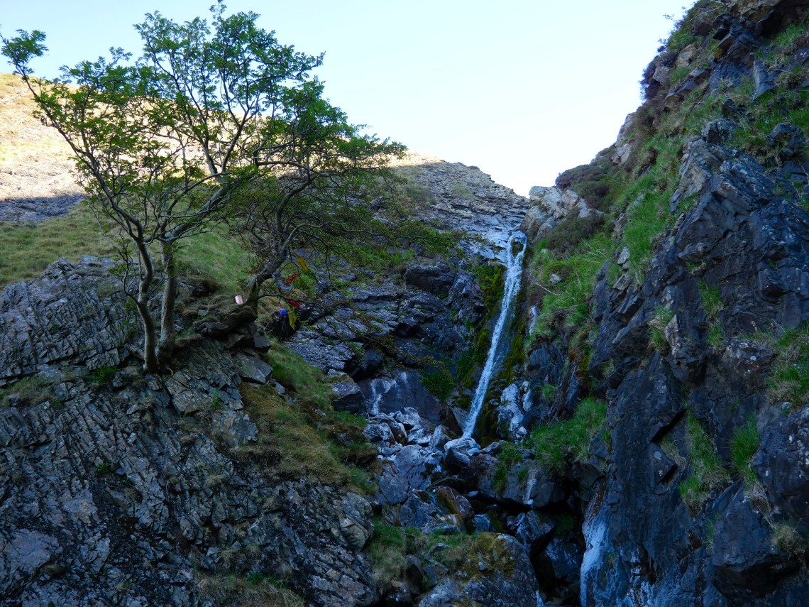
And here is the Spout. I had read that there is a thin path up on the left which keeps mainly to the steep grass so I decided to give it a try.
And it was quite steep !
.
Despite the exposure I found the path to be ok and was soon following the gill onwards.
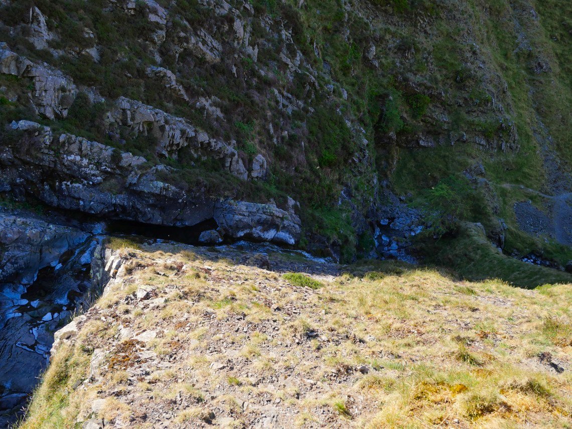
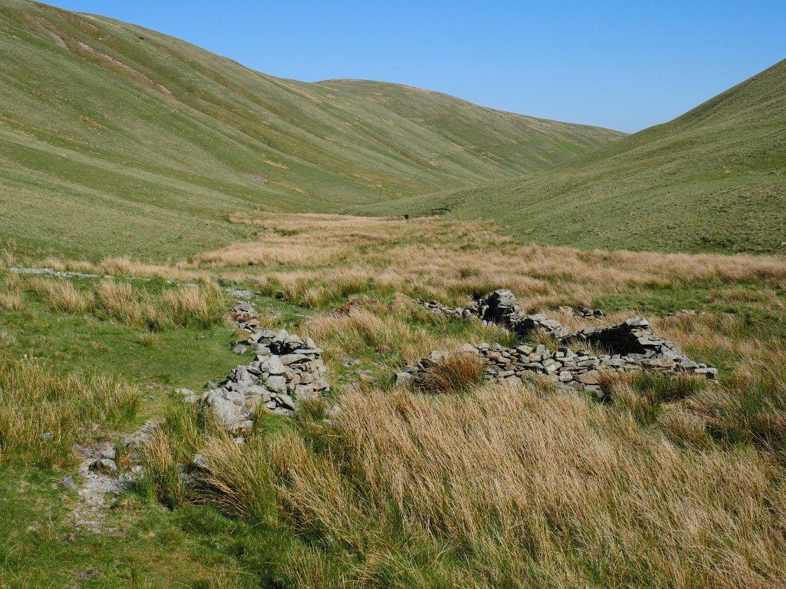
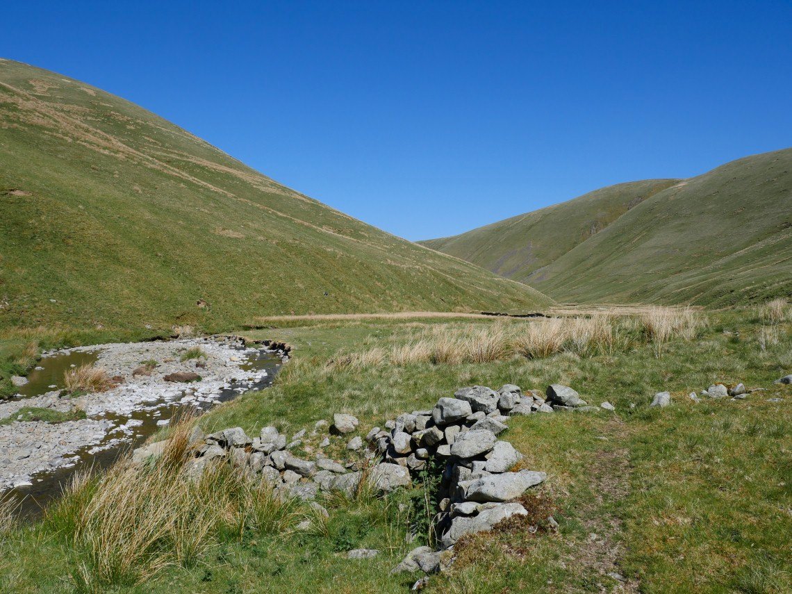
The valley is left at the big flat amphitheatre of Blakethwaite Bottom which I thought was a great place and could just imagine a big shepherds meet with all the fun of the fair taking place here. This is looking back so Carlin Gill is on the right.
Setting off along Uldale now. An occasional sheepfold is the only sign of man as there are no walls or fences in the Howgills and to be walking along here totally alone in the warm morning sunshine was a beautiful and a real tonic after I yesterday when I had been on a local walk with Sue and I'd filled my rubbish collecting bag after about ten minutes and we spent our lunchtime watching the firemen putting out fires started by the idiots with their portable barbecues.
Looking back along Uldale.
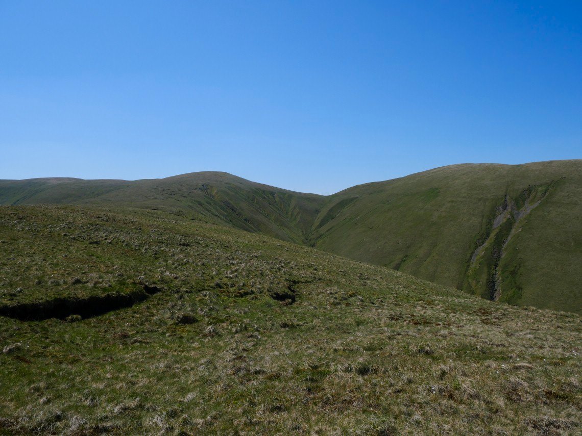
I followed a sheep trod which cut off the corner passing over Middledale End. I now wished I had just followed the stream to the end of the valley as it would have saved me some unnecessary climbing and descending.
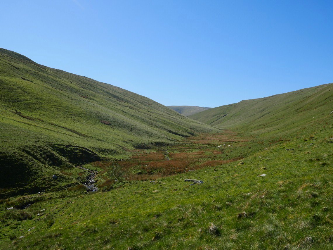
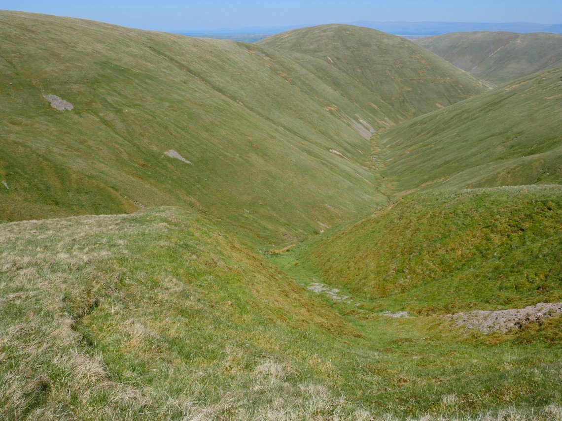
And here I am descending into the lonely Langdale valley..

Again the water is very low so sometimes I just walked along the stream bed.
Another wide flat plain towards the end of the valley.
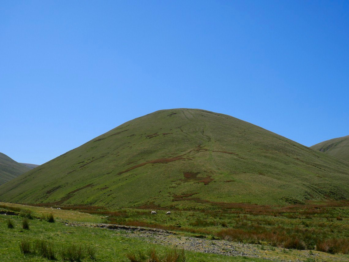
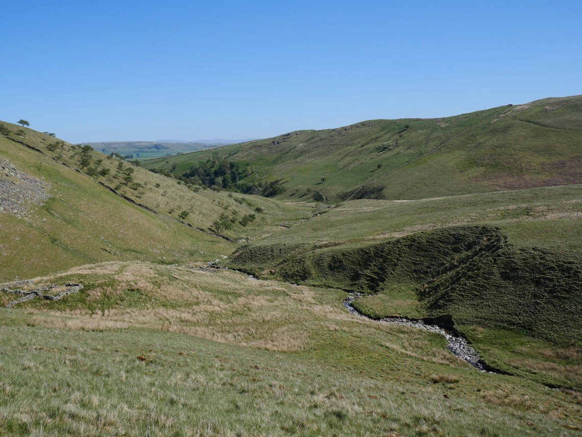
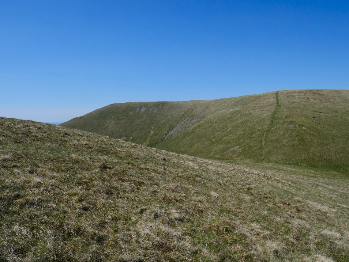
My escape from Langdale was up the little hill of Cobles, which was a bit of a hot plod but not too bad..
If I was heading out to the south or to visit the Calf, Saddle Grain looks to be a fairly straightforward escape.
Langdale from Cobles.
After topping out on Cobles there is still the climb up to the col between Bush Howe and Breaks Head. I didn't climb all the way to Bush Howe but contoured around above the stream gullies to meet the col.
I did consider following West Grain out of the valley and from here it does look doable.
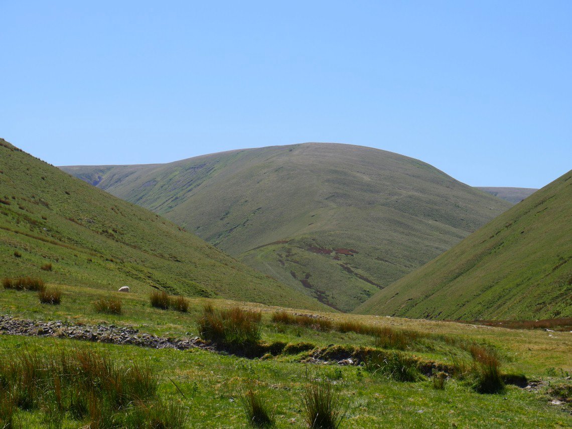
Fell Head from the col.
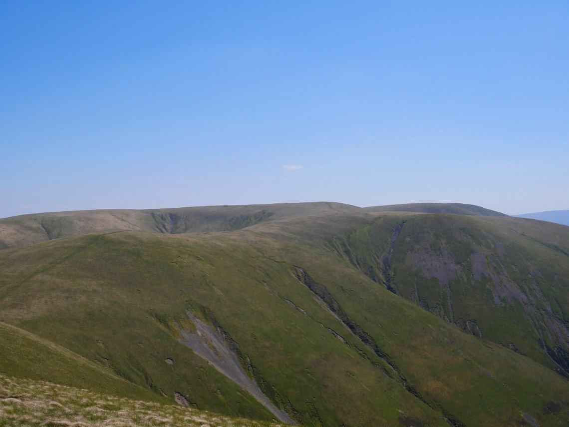
Looking back to the Calf.
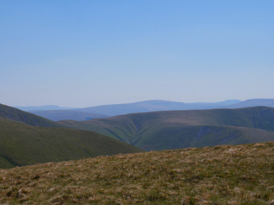
I think that's Whernside in the middle with Pen-y- Ghent on the left and Ingleborough on the right.
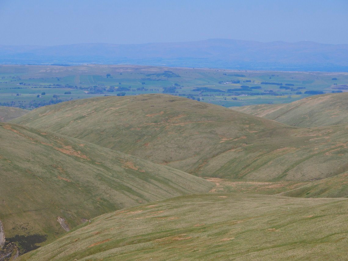
Blakethwaite Bottom down below with Hand lake above. Cross Fell and the Dun fells in the distance.
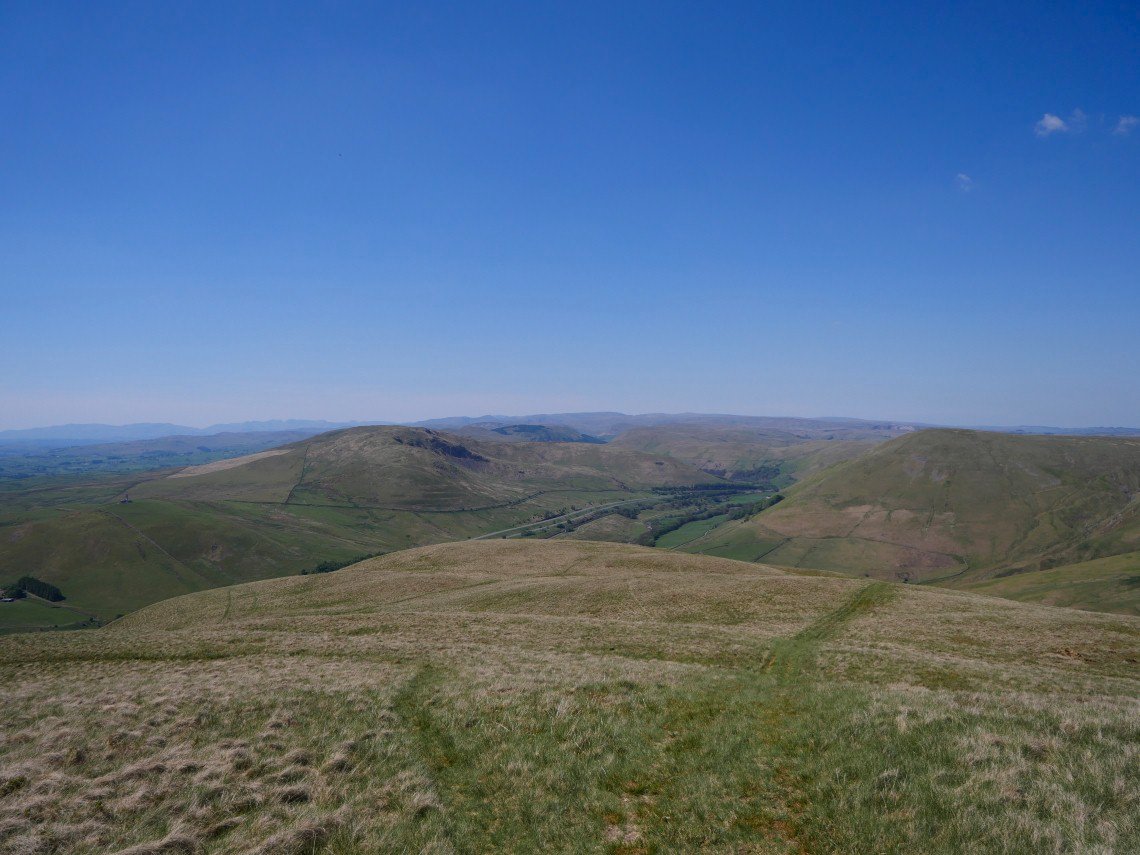
On the final downhill now with the Lakeland Fells in the distance beyond the fells around Borrowdale in Westmorland.
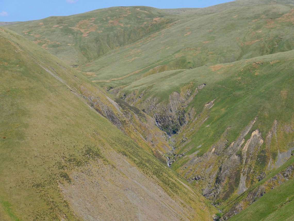
Zooming in on the end of Carlin Gill.
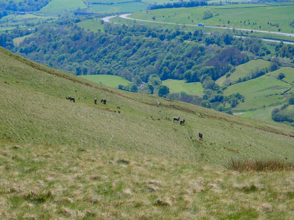
The Howgills wild ponies.