WWW.KARLSWALKS.CO.UK
PICTURES AND TRIP REPORTS FROM MY WALKS IN THE ENGLISH LAKE DISTRICT
|
|
|
|
My plan today was to climb Rossett Pike by the Black Crags path then climb Bowfell by the fell runners path but the forecast was not the best and when I arrived in Great Langdale the conditions seemed worse than forecast but I set off in hope things might improve.
Looking along Mickleden and it does look like it might be getting brighter..
Even a bit of blue sky over Pike of Stickle..
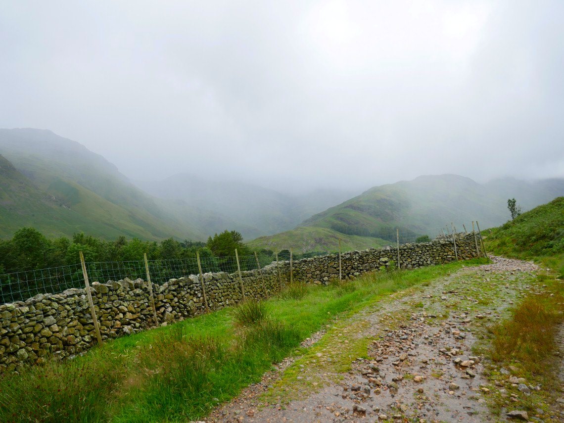
Starting on the zig zags of Stake Pass and the sunshine seems just around the corner.
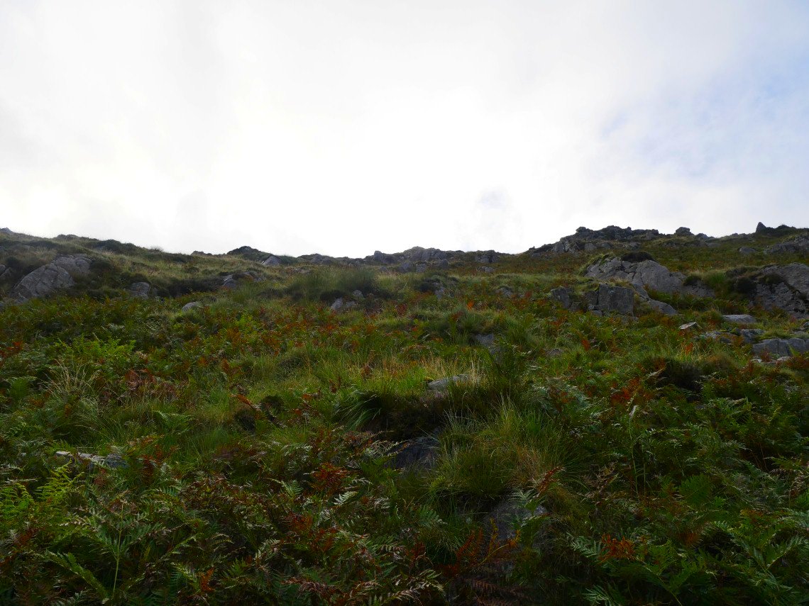
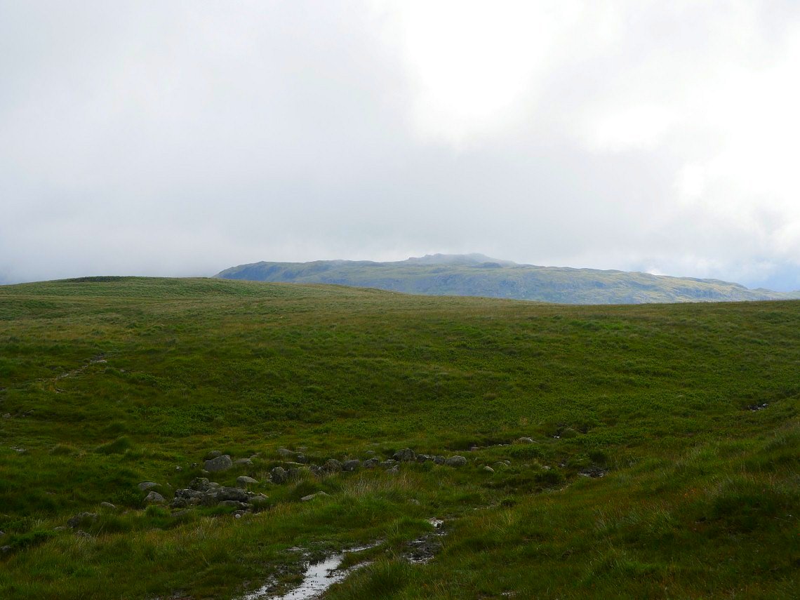
After reaching the top of the pass I take the thin but clear path on the left climbing to Black crags. There is rain in the air now.
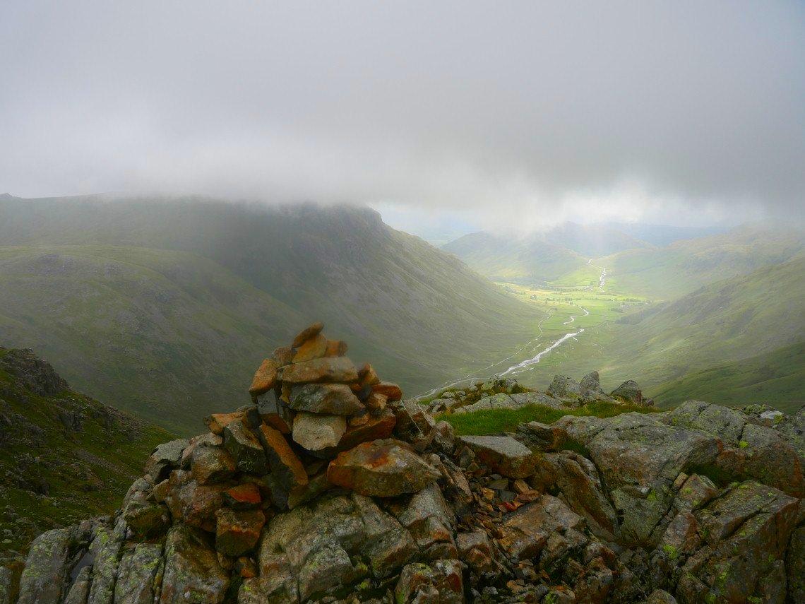
The cloud never rose higher than Rossett Pike so I decided that I didn't need to see Bowfell in the mist and especially as I was going to take a route that I've done only once ten years ago ( although a fell runner passed me on Rossett Pike and took the path so at least I could see where it started )
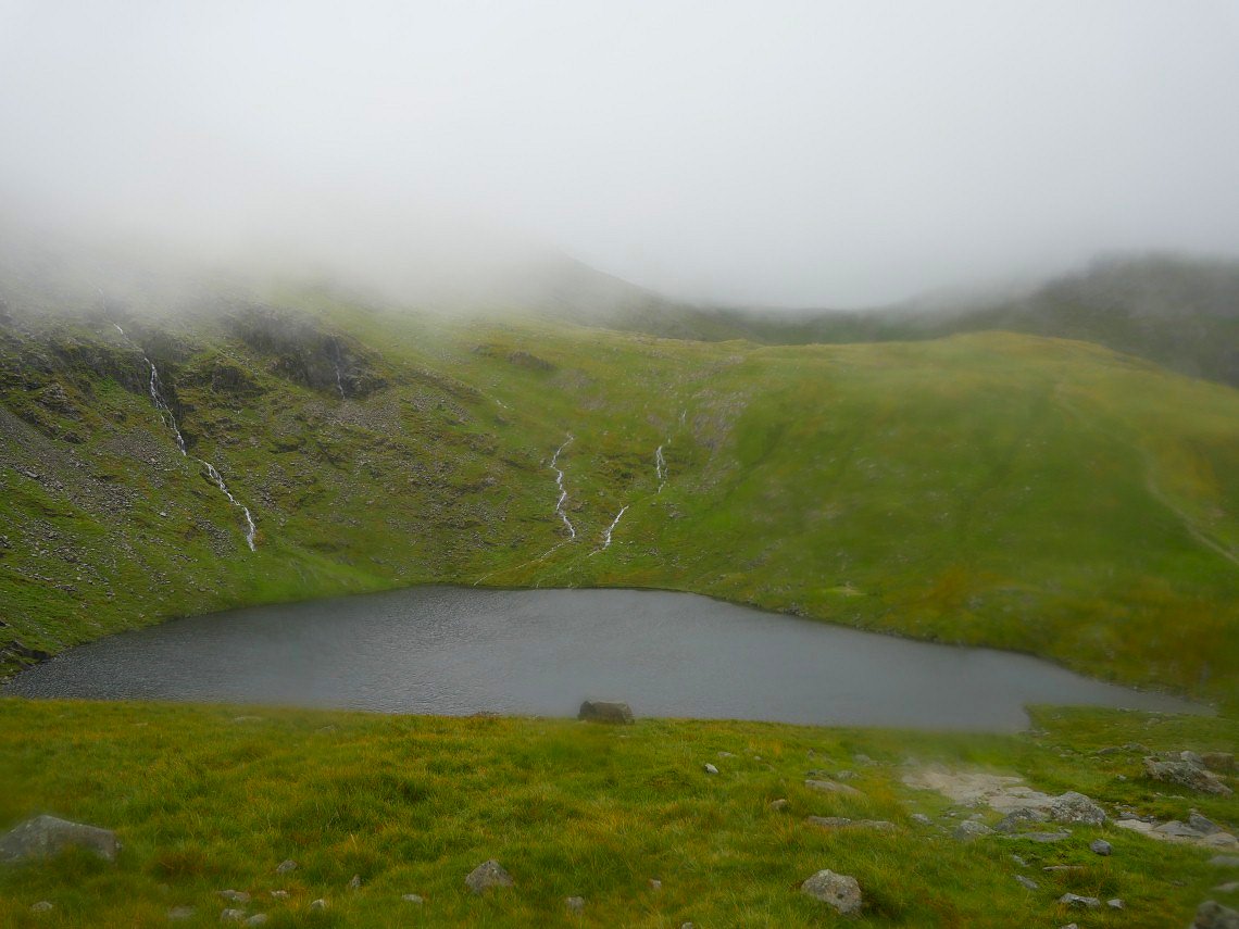
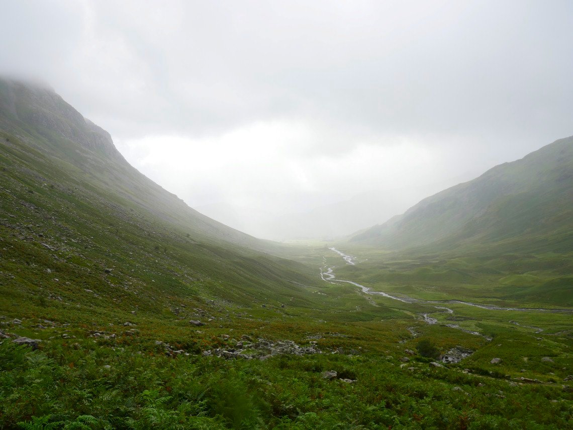
I decided to double back and make my way to Langdale Combe pausing to look down to Angle Tarn.
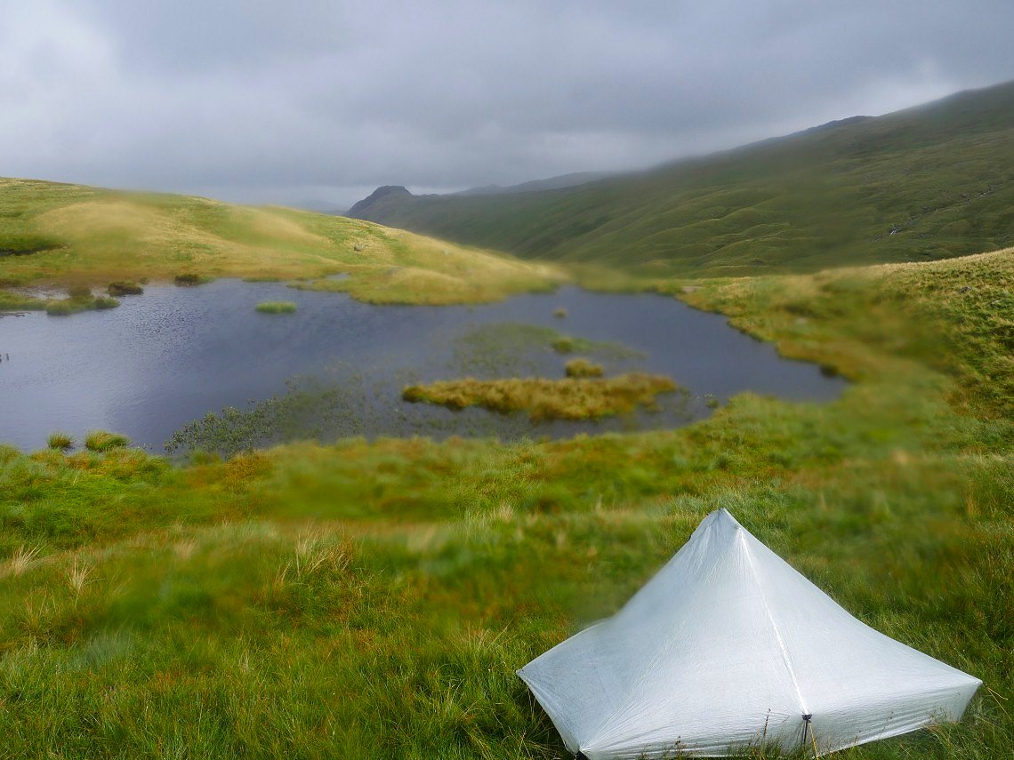
The intermittent rain became constant rain but luckily I had taken my tent so had shelter to eat my sandwiches.
.
Fast forward six days and the forecast is for showers but although the skies were dull and the cloud low it didn't feel like it was going to rain. On the drive up I realised that I have never climbed Irton Pike so decided to pay a visit on my way to the Screes above Wasdale. That's Muncaster Fell in the distance.
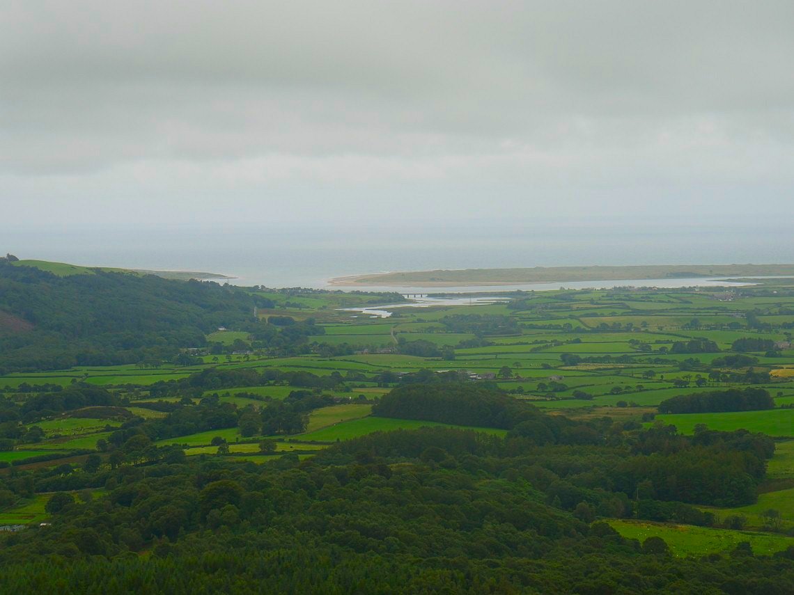
On Irton Pike now with a view to the coast and Ravenglass.
But looking to my onward path I think I'll be losing the view.
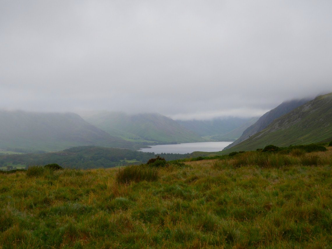
A nice glimpse of Wastwater though from the climb over Irton Fell.
Passing the top of Greathall Gill.
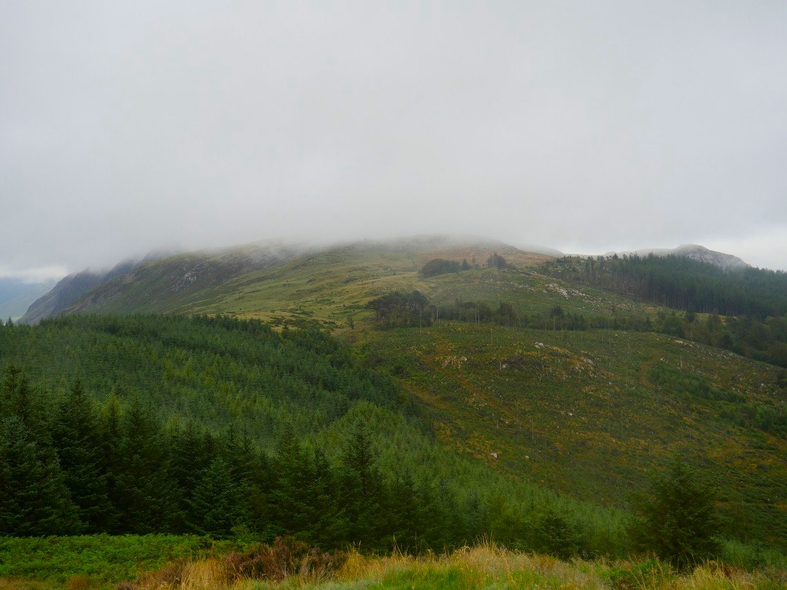
Not a lot to see from Whin Rigg, although I did get the feeling that the sky was getting lighter.
And soon I have views.
As I do every time I come to the Screes I creep out to the edge and hold out the camera for a quick picture.
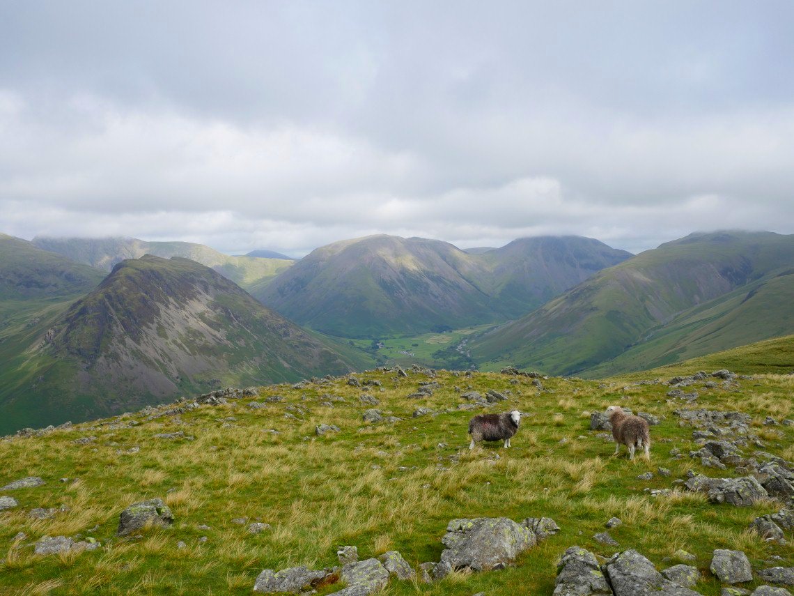
I did notice that the little lay-bys along the shore were packed with cars and camper vans and there were convoys of cars heading along the road to Wasdale Head.. As with before when I was in Hartsop although the roads were very busy there was hardly anyone on the fell, in fact so far I had not seen anyone and only saw three people all day.
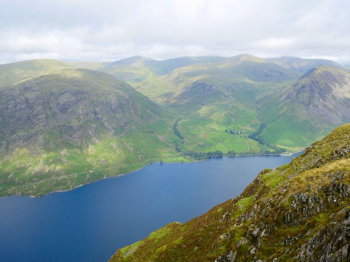
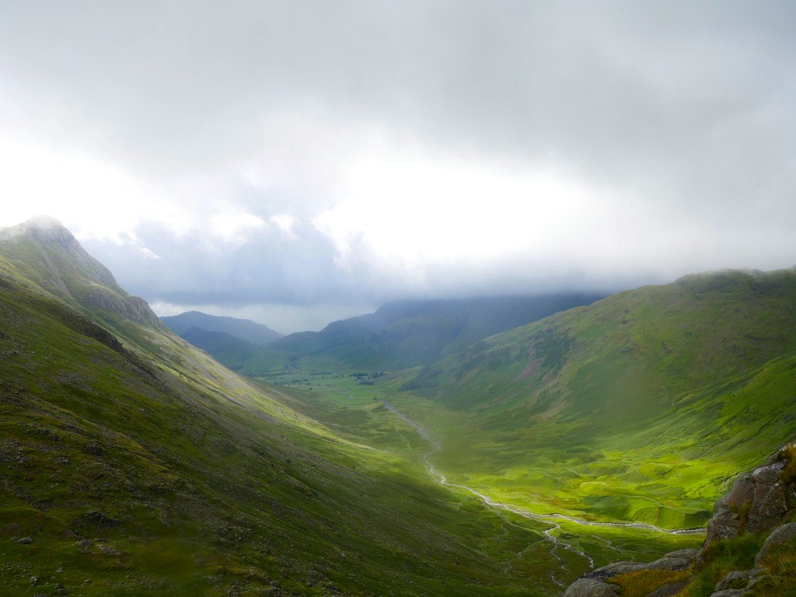
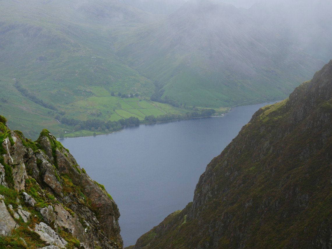
It's lovely now looking down to Middle Fell, Nether Beck, Over Beck and Yewbarrow. Seatallen, Haycock, Scoat Fell, Red Pike and Pillar form the horizon.
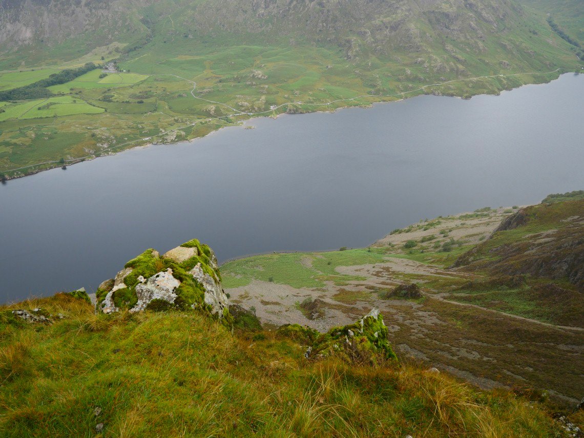
On to Illgill Head now with Yewbarrow again then Kirk Fell, Great Gable and Lingmell above Wasdale Head
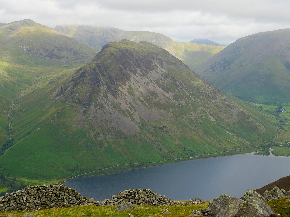
Zooming in on the mighty Yewbarrow.
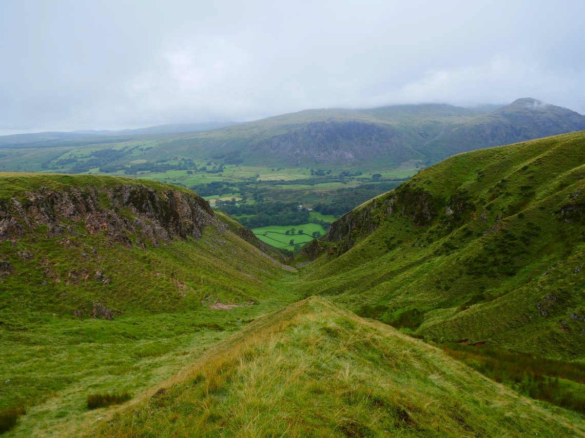
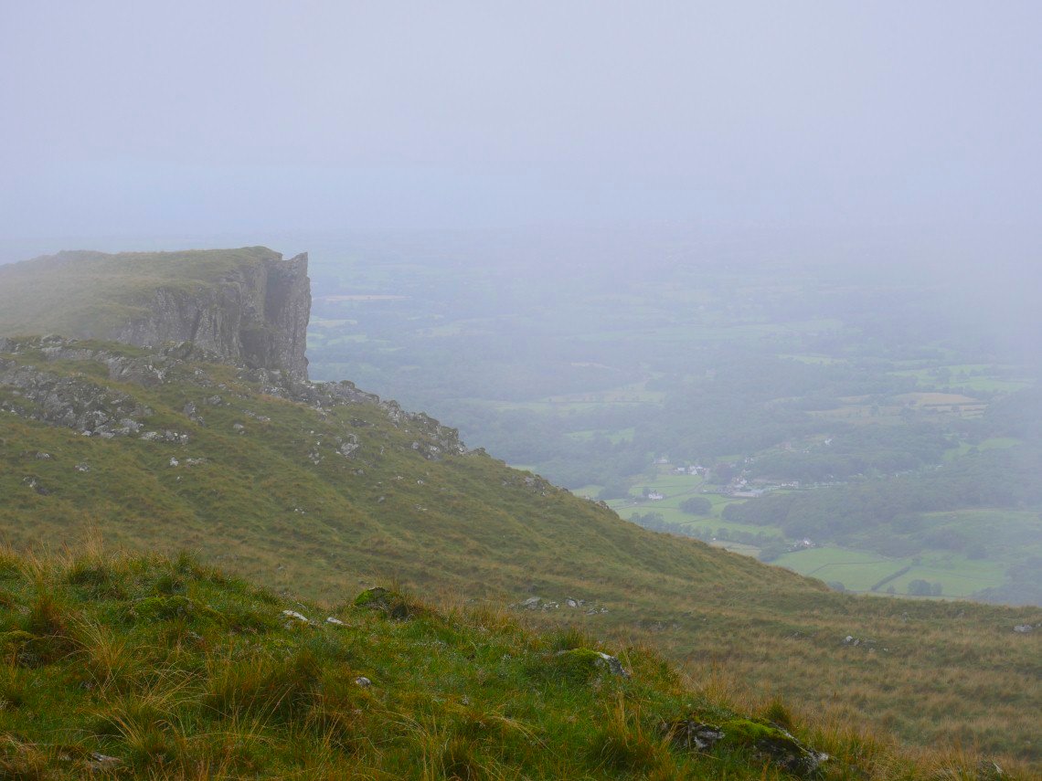
In the other direction are Eskdale Fell and Great How to the right with Slight Side above to the left and then Scafell in cloud.
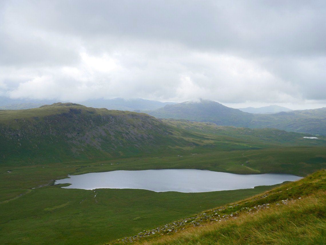
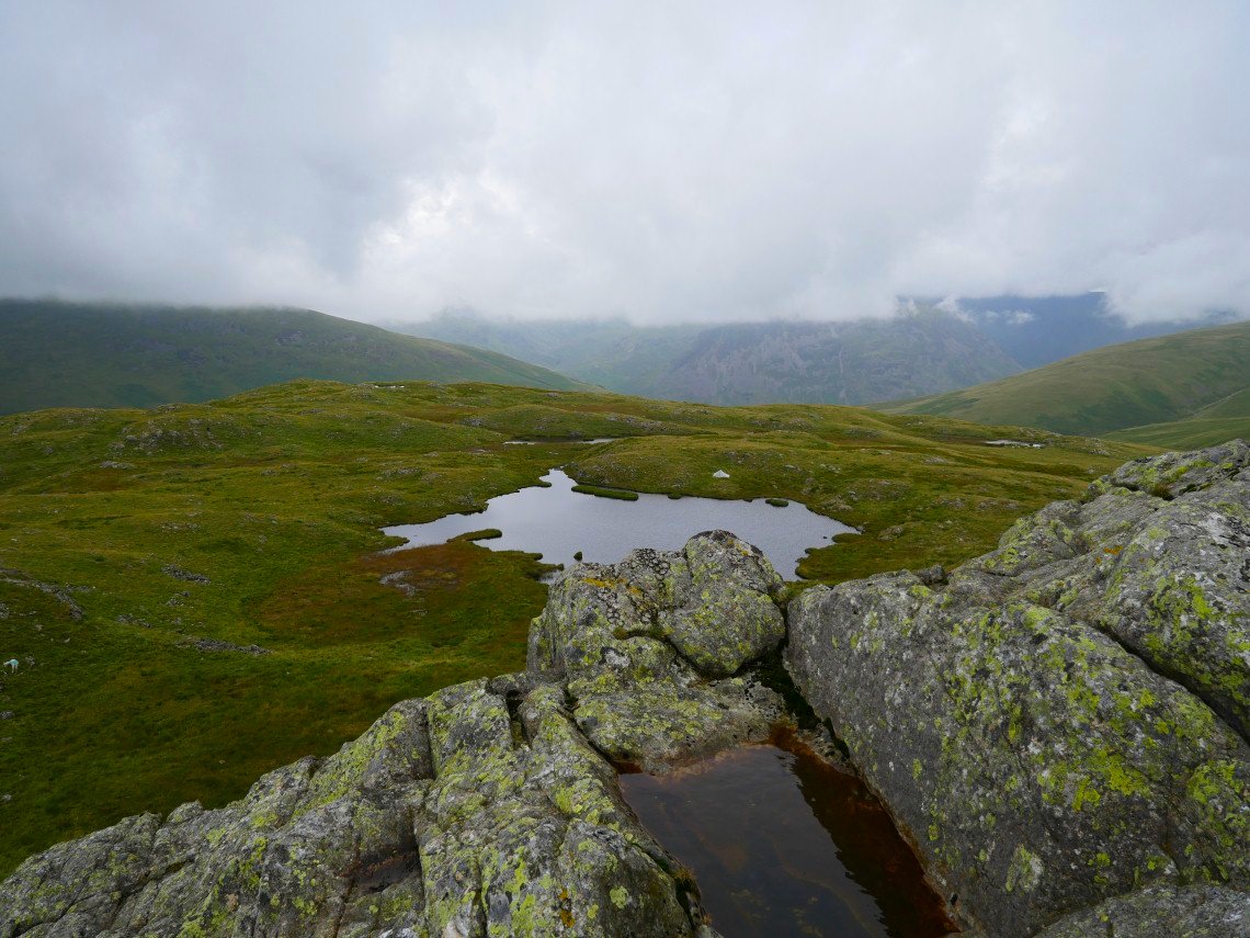
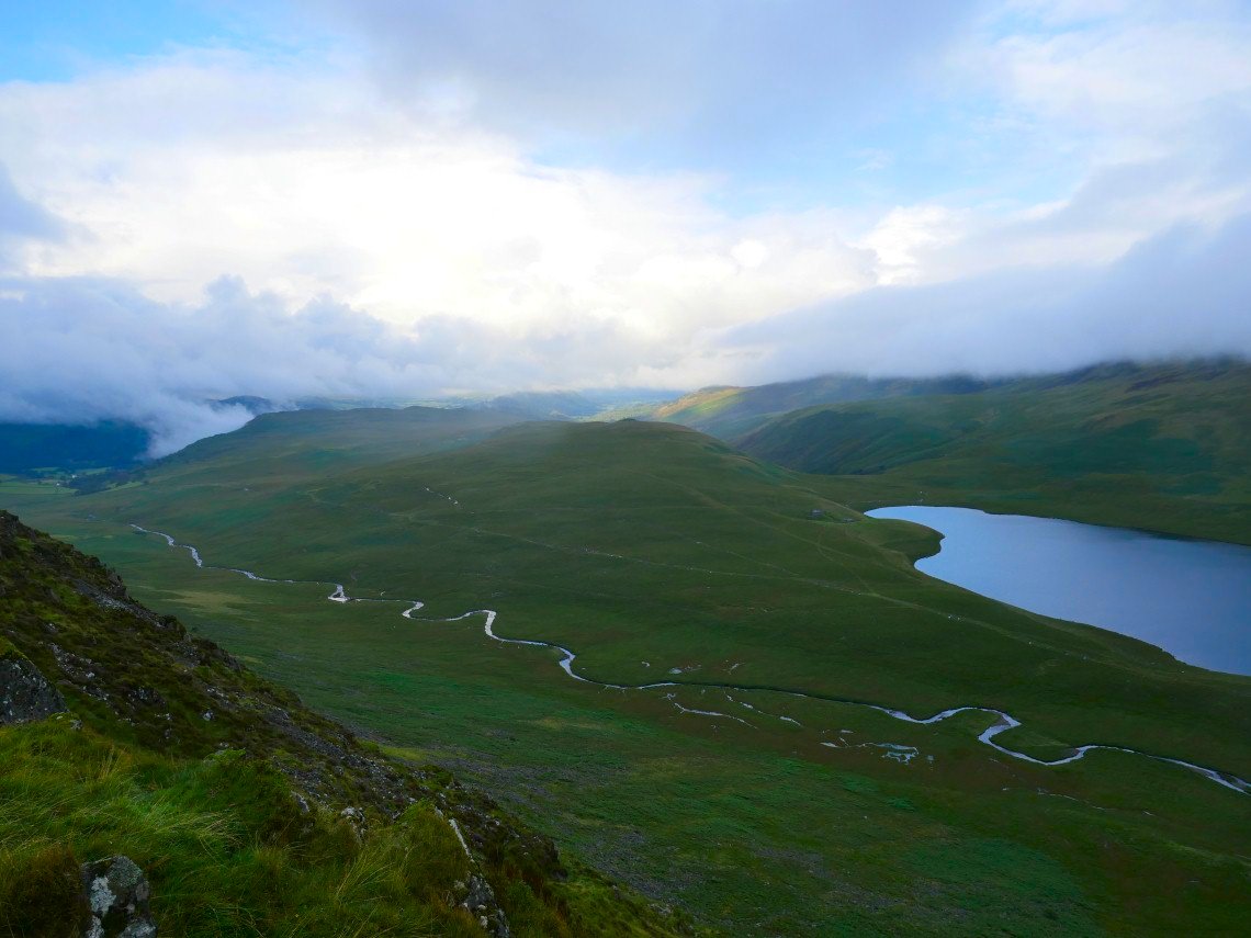
Burnmoor Tarn with todays objective above. Eel Tarn is over to the right.
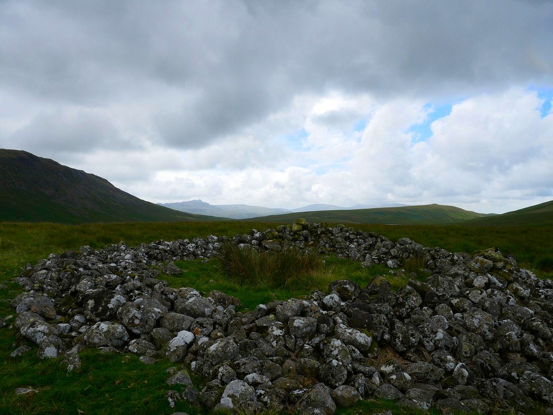
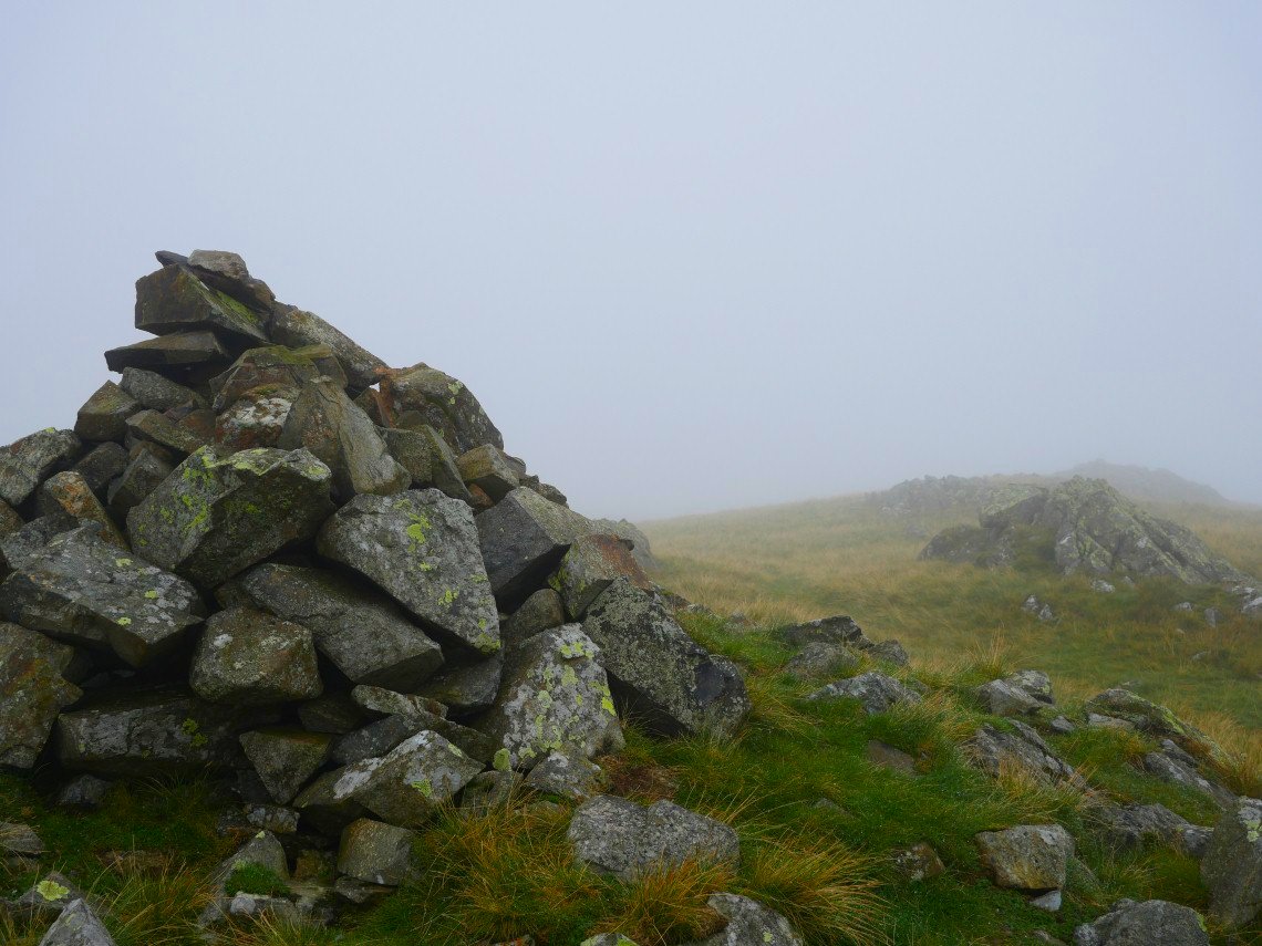
The boggy moorland between Illgill Head and the lower slopes of Scafell contains this Bronze age cairn named on the map as Maiden Castle. The stones are a sheep fold added much later but probably using the stones from the cairn. Green Crag is having a moment in the sun in the background..
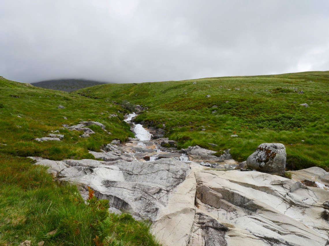
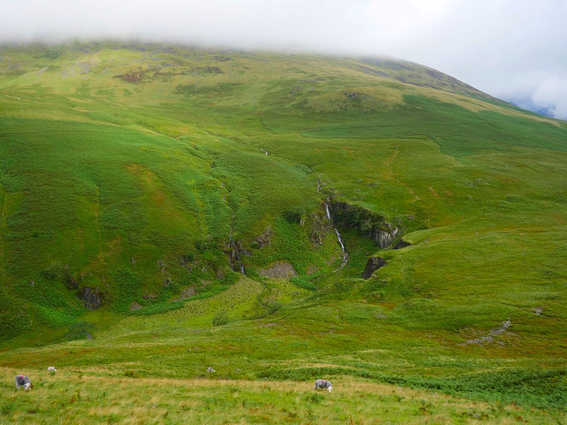
My path crosses Hardrigg Gill and what a surprise it was, these white rocks had been warmed by the sun and they made a lovely seat to eat my lunch.
After lunch cooled my feet in the wonderfully clear water.
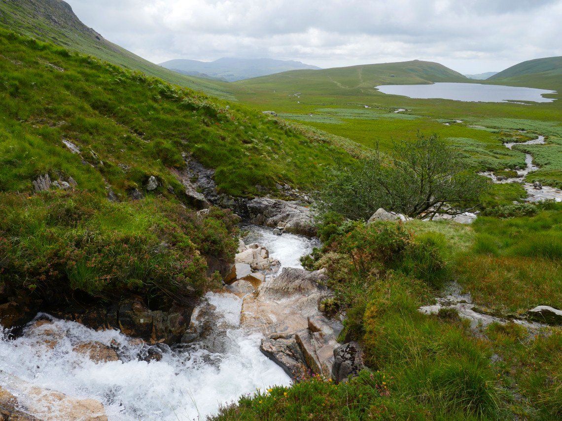
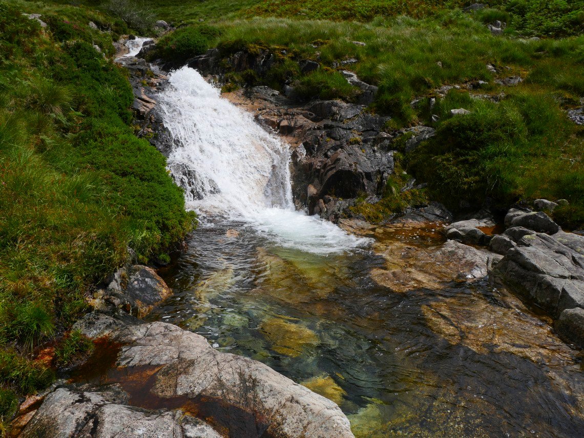
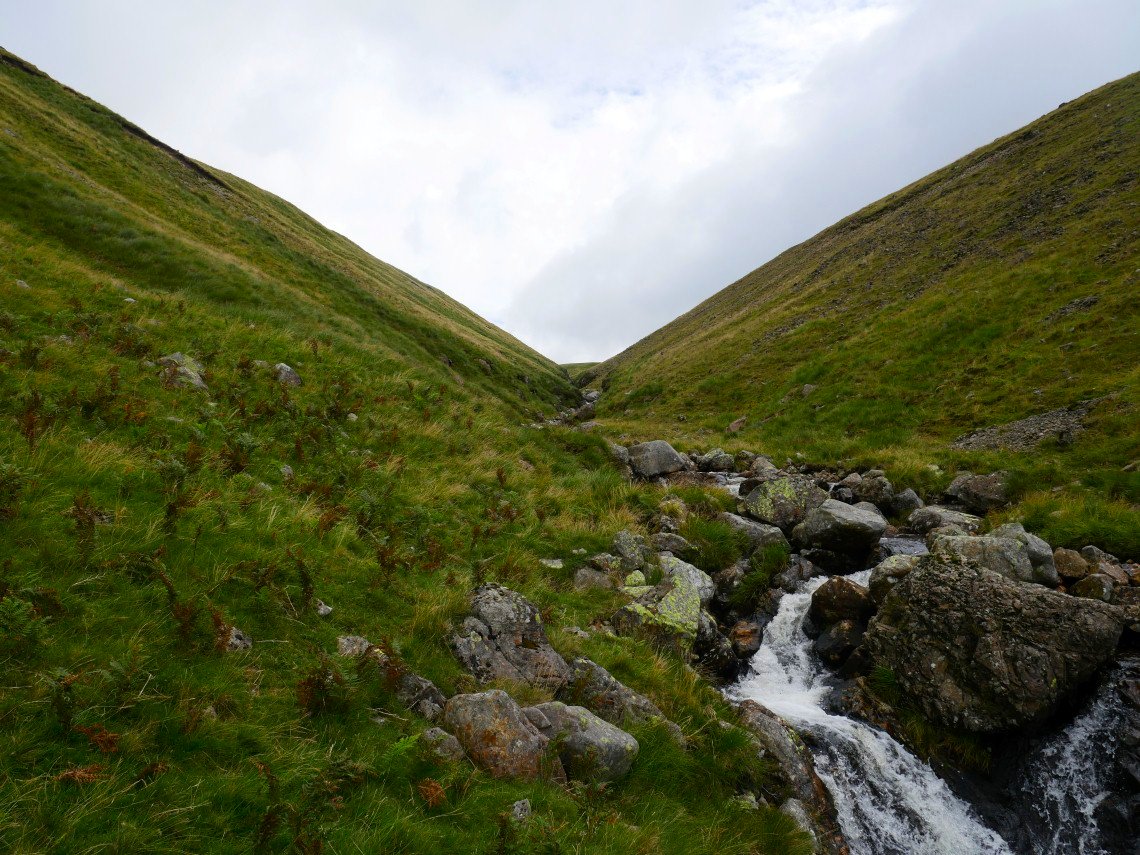
Leaving my bag at the rocks I walked up by the side of he gill admiring the cascades and little pools.
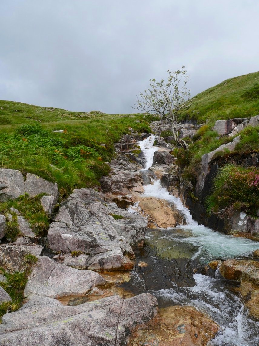
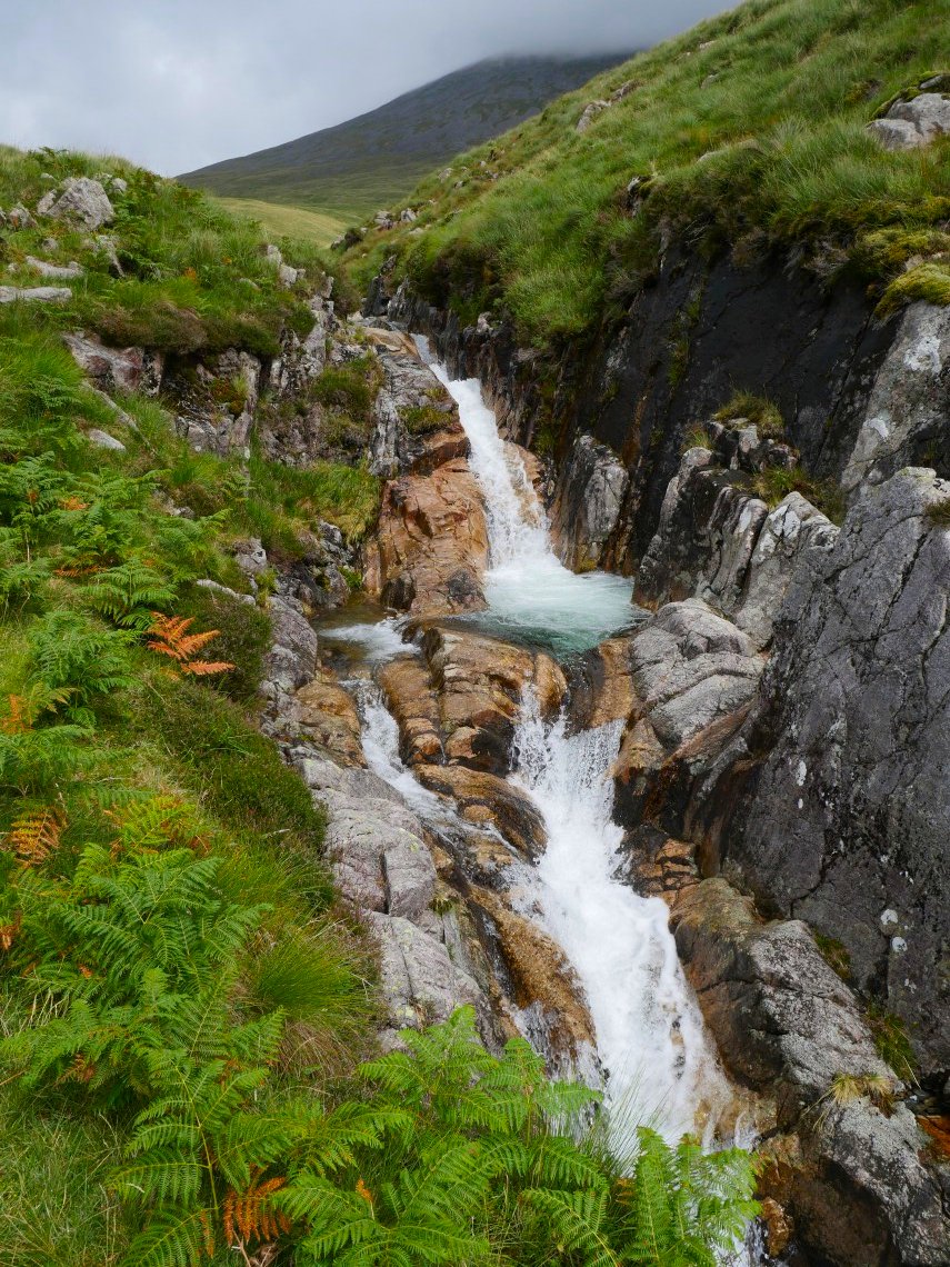
After collecting my bag there was a bit of rough ground to cross before I reached more lovely falls in Oliver Gill.
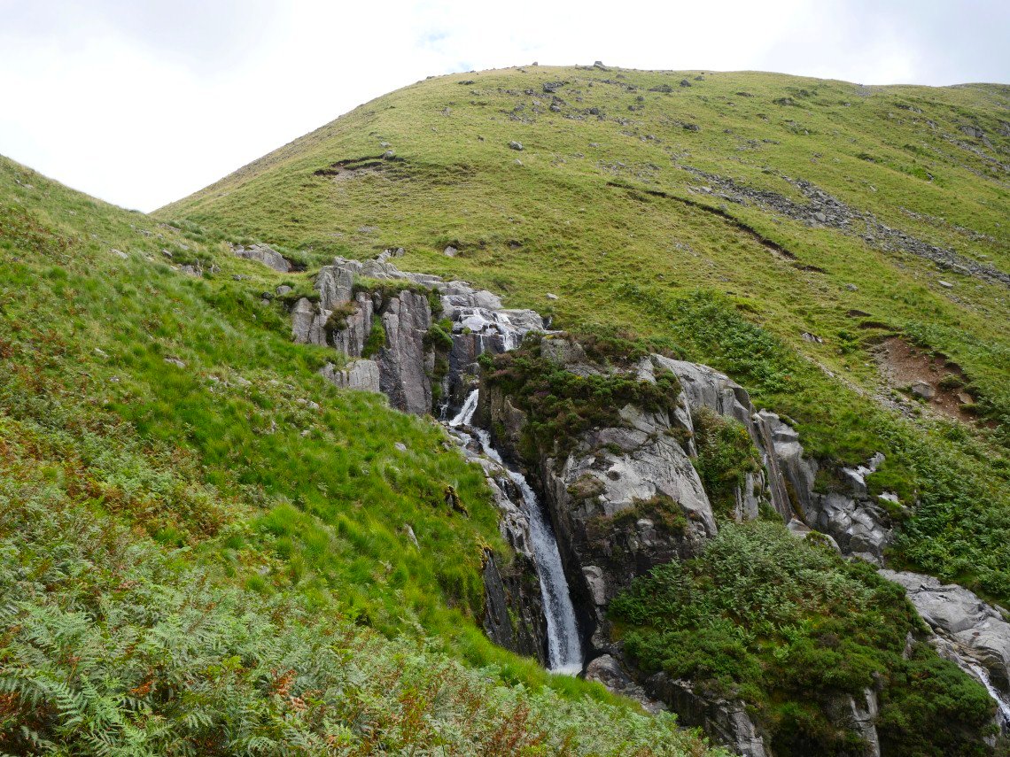
Rather than climb the steep hillside I followed Oliver Gill upwards but although there is a faint path on the right hand side of the stream the going was quite rough and I wish I had just climbed out up the steep bank..
Eventually I arrive at my destination for today. It's a bit too early to put the tent up so I have an explore of Great How
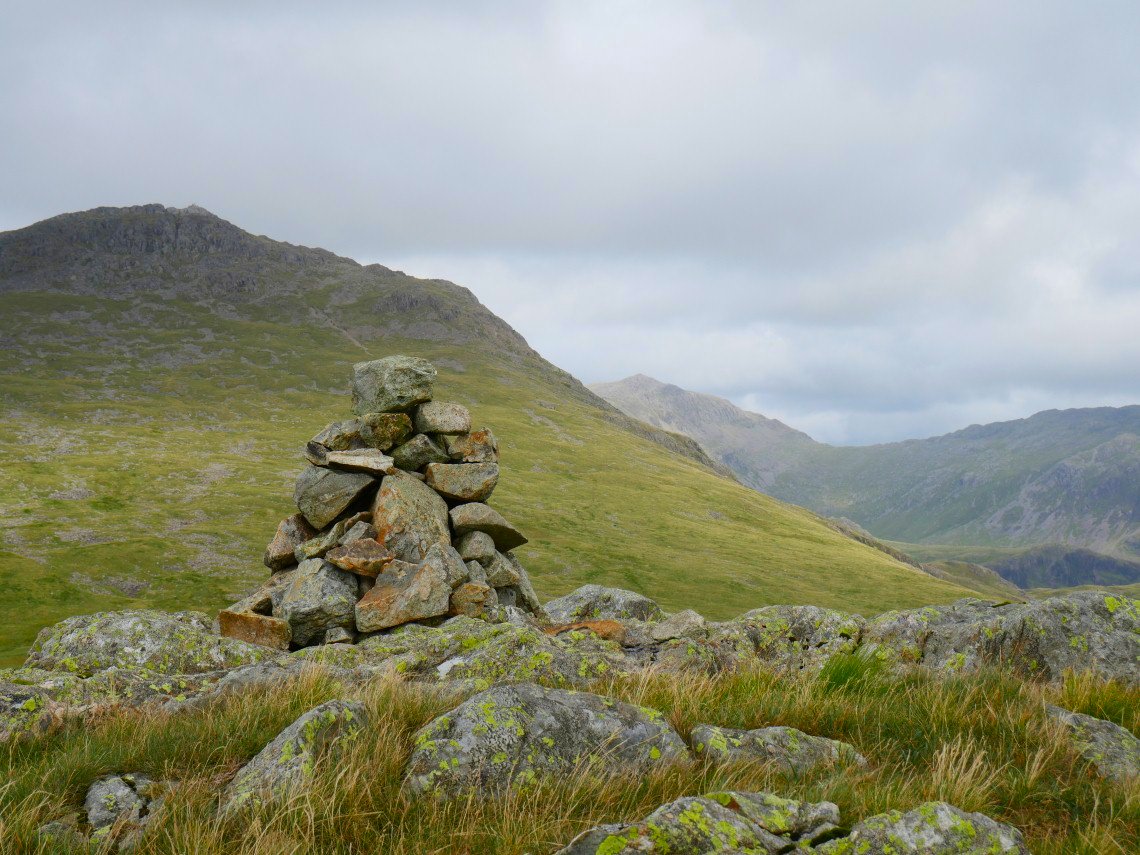
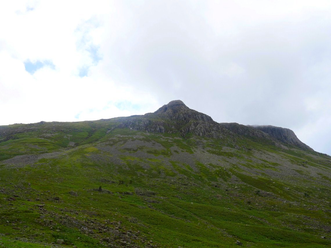
Slight Side with Bowfell in the background from the summit cairn.
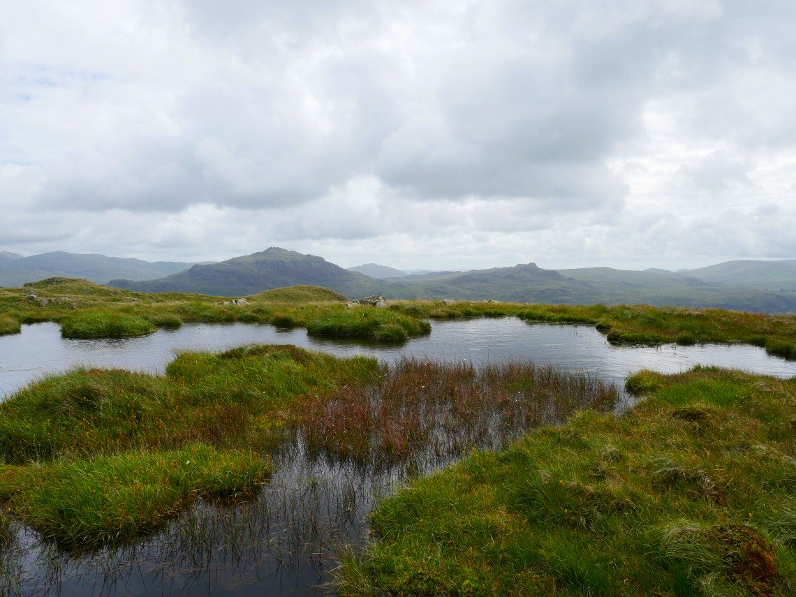
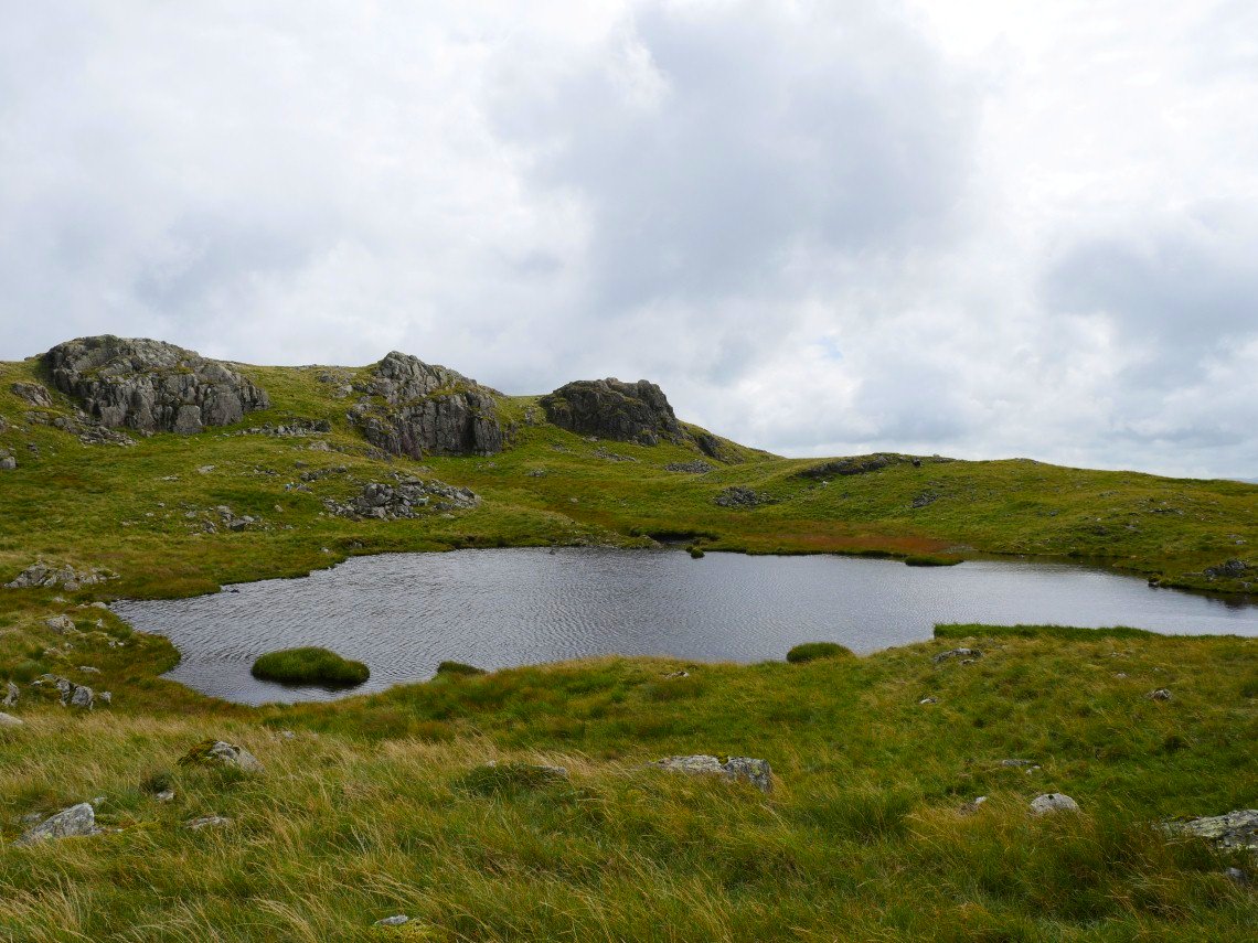
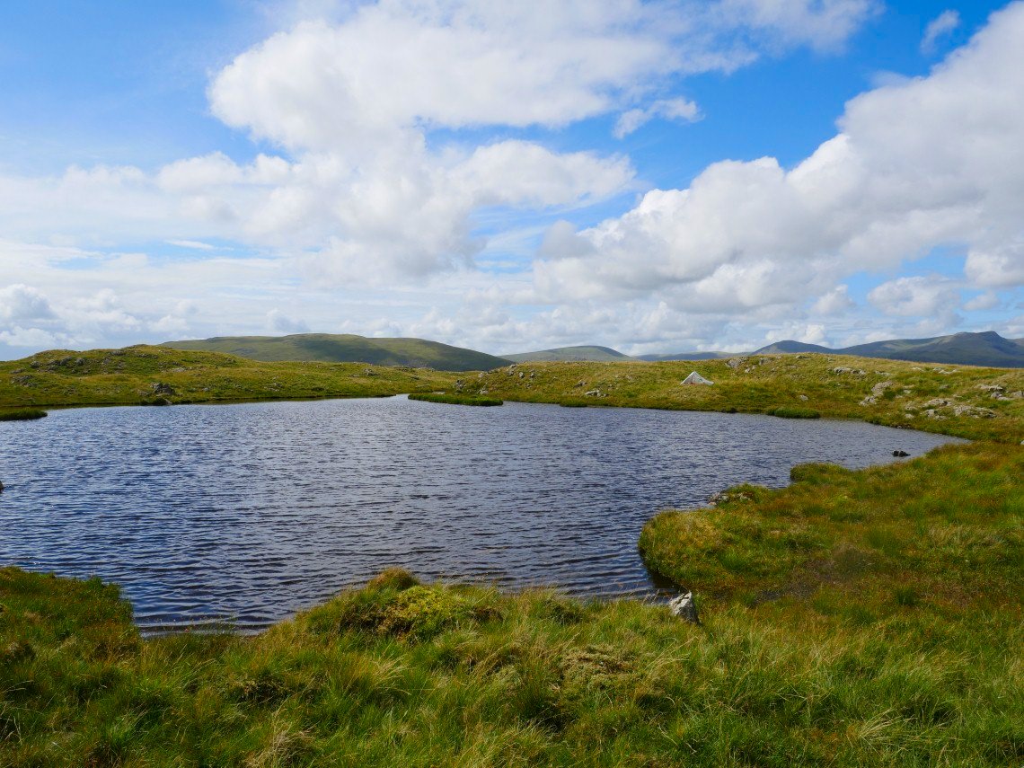
Harter Fell and Green crag with Caw in the distance between them seen over one of he many lovely little tarns on Eskdale fell.
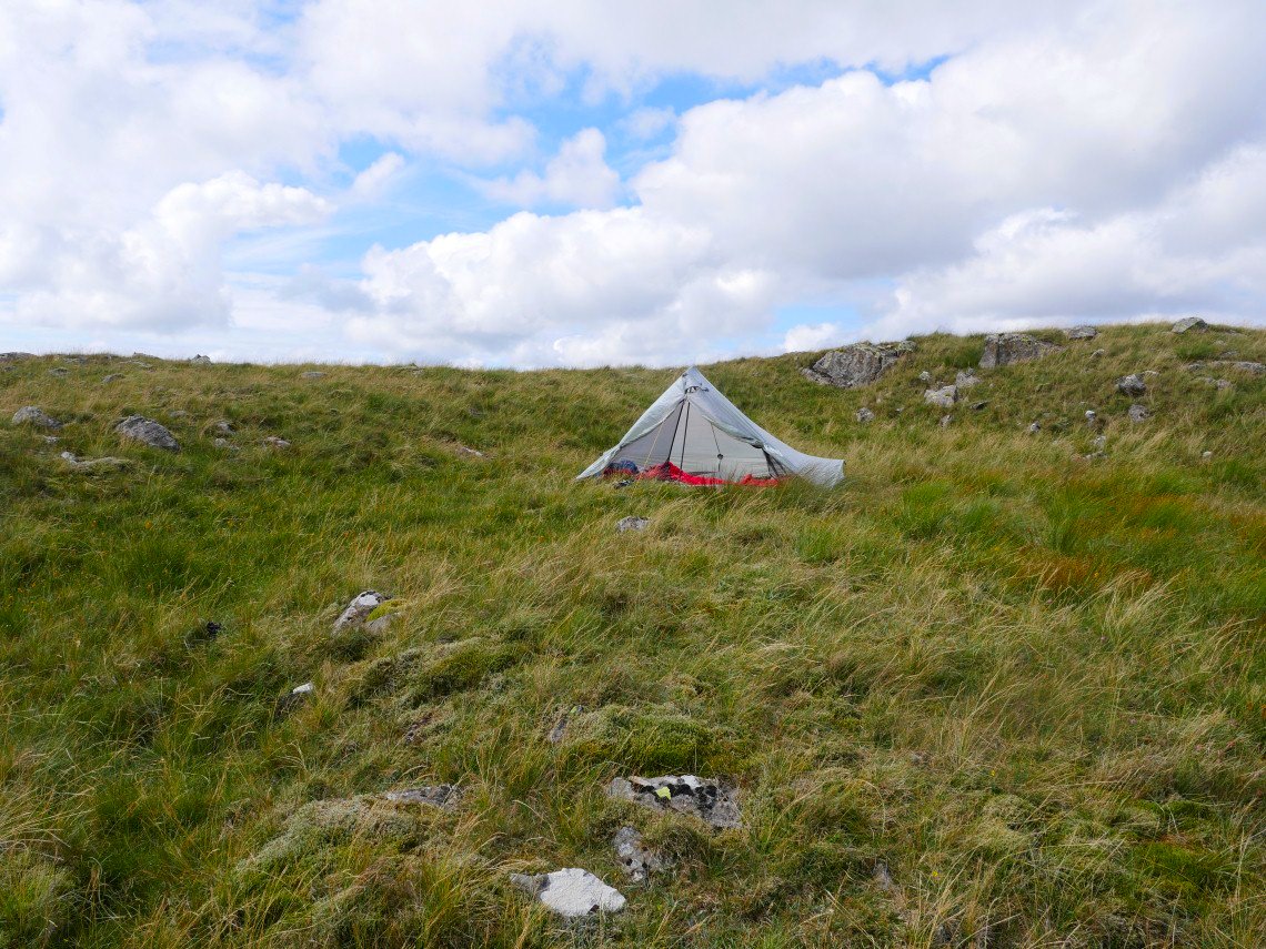
The tent is up now and a lovely afternoon is spent reading and drinking tea.
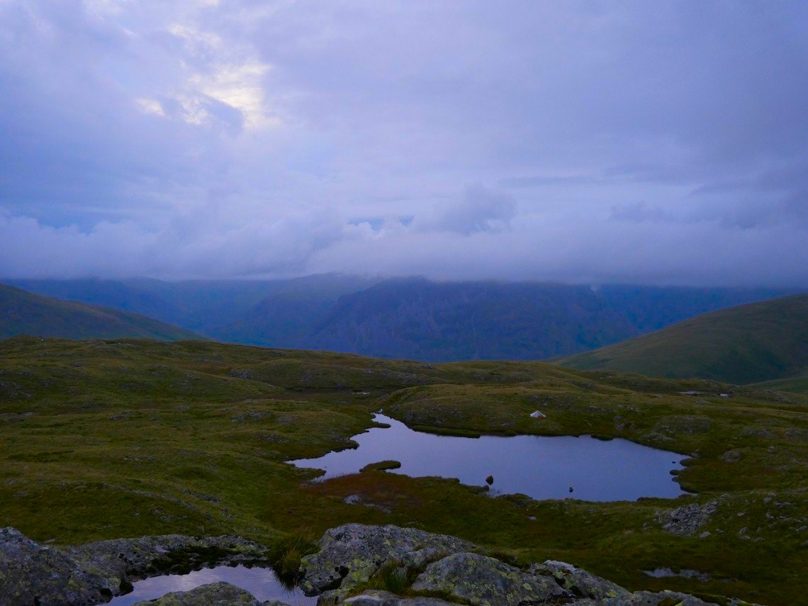
I'm camped by the largest of the tarns.
After tea I had another wander around the fell hoping to that I might have a sunset..
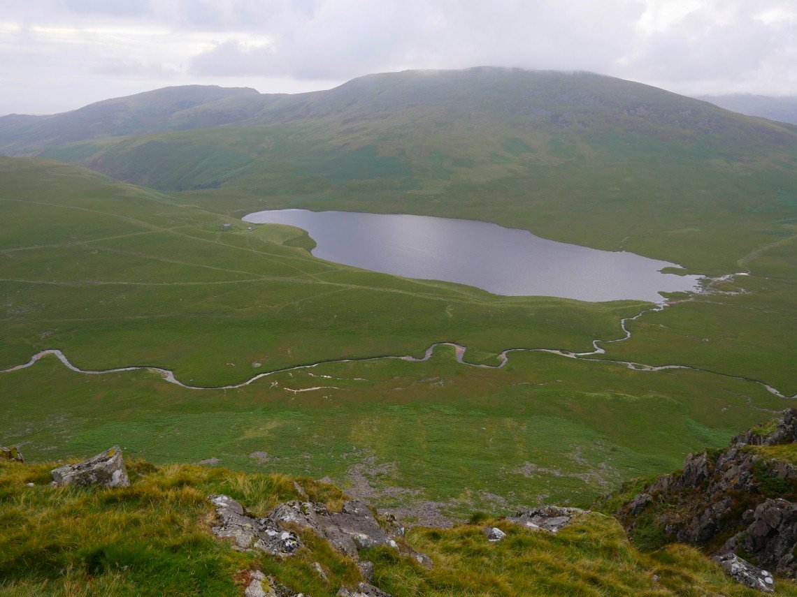
Looking over the edge of the escarpment to Burnmoor Tarn and Whillan Beck.
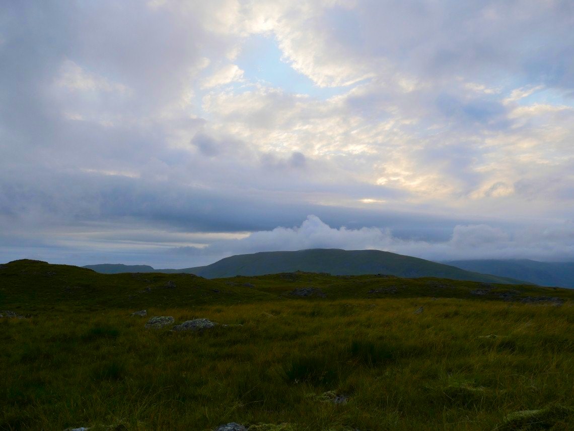
The sky did show promise but this was as good as it got.
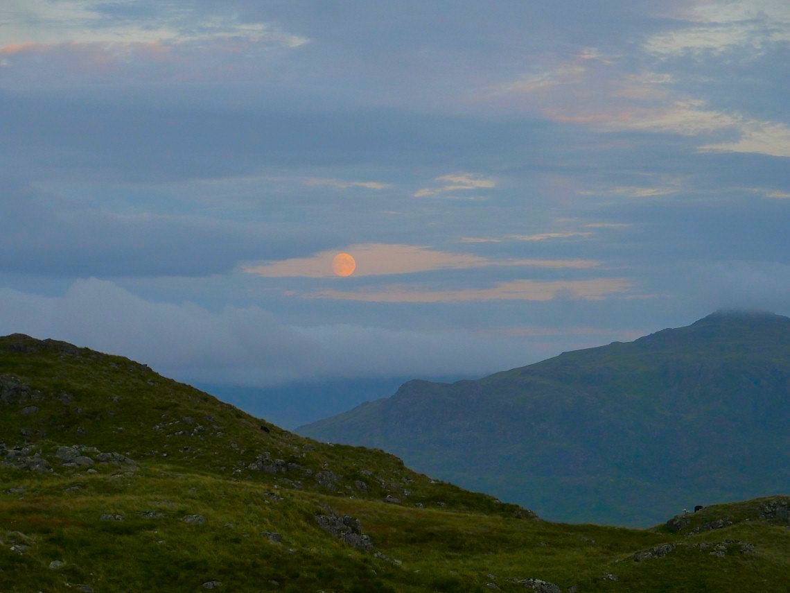
Although there was a nice moon rise by Harter Fell
Last photo before I turn in for the night and within ten minutes of arriving back to the tent it started to rain and seemed to continue all through the night.
The rain stopped around seven thirty so I quickly packed up and made my way down. I walked out along the length of the fell to see if there was a way off without having to descend by the beck and although I did come down this way I'd not recommend it as it was steep and slippery.
Not recommended.
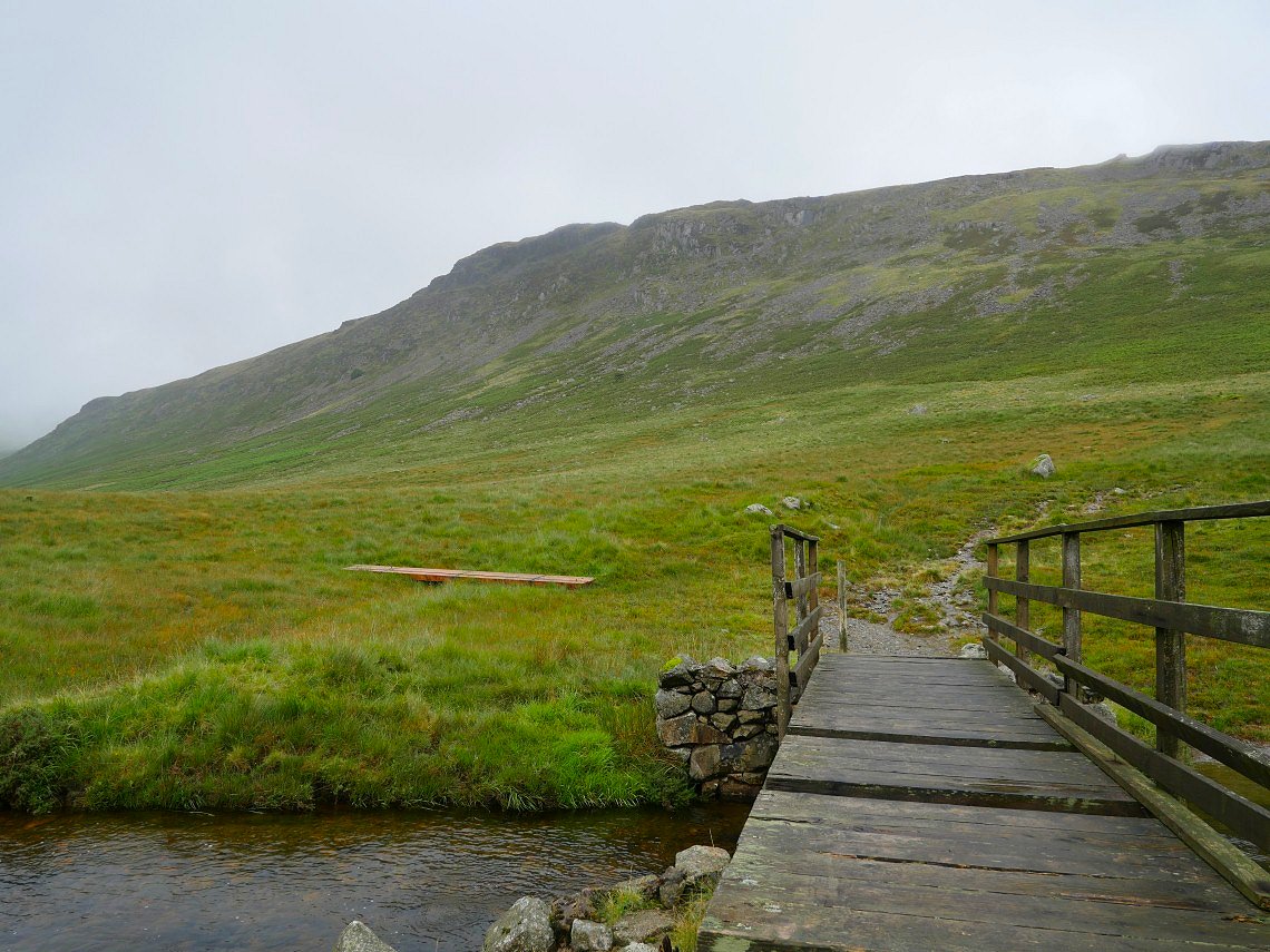
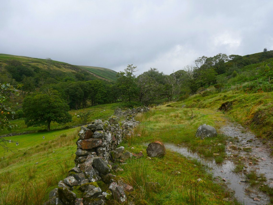
I met the path which runs beneath the steep slopes of Eskdale Fell and followed it to Lambford Bridge. I presume those pieces of wood are to repair the bridge which is looking a bit threadbare.
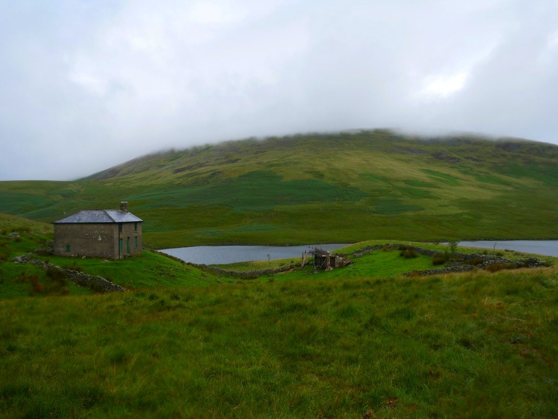
Making my way to Mitredale in a sharp shower passing Burnmoor Lodge.
Rather than drop down into Mitredale I followed a path which ran above the valley. This is the head of Mitredale below
Looking back to Great How perched on the top of Eskdale Fell.
Eventually the path descends to Mitredale. I wish now I had followed the valley to the road as tree felling has destroyed the paths leading more directly to my car, the churned up mud was nearly impossible to walk on without sinking up to my calves.
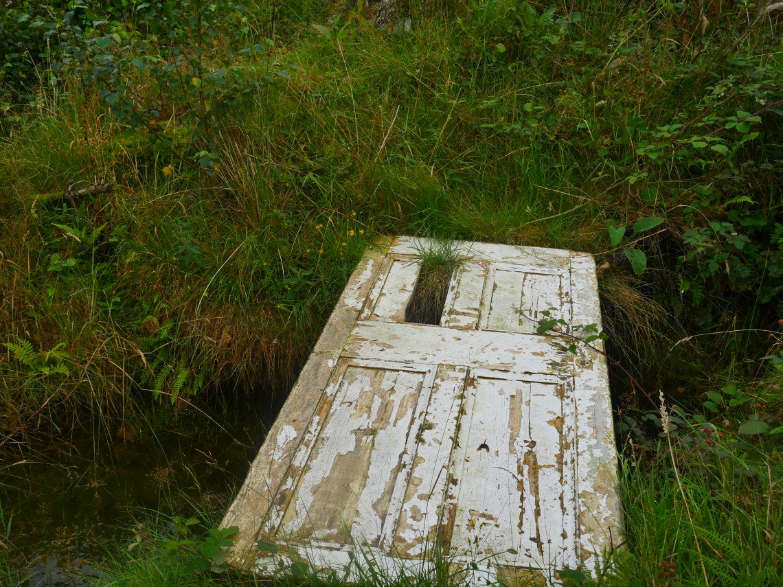
But at least they have spent money providing top class bridges over some of the mud.